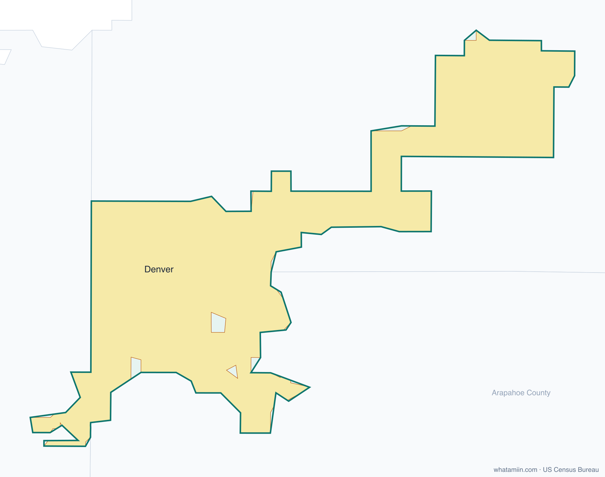
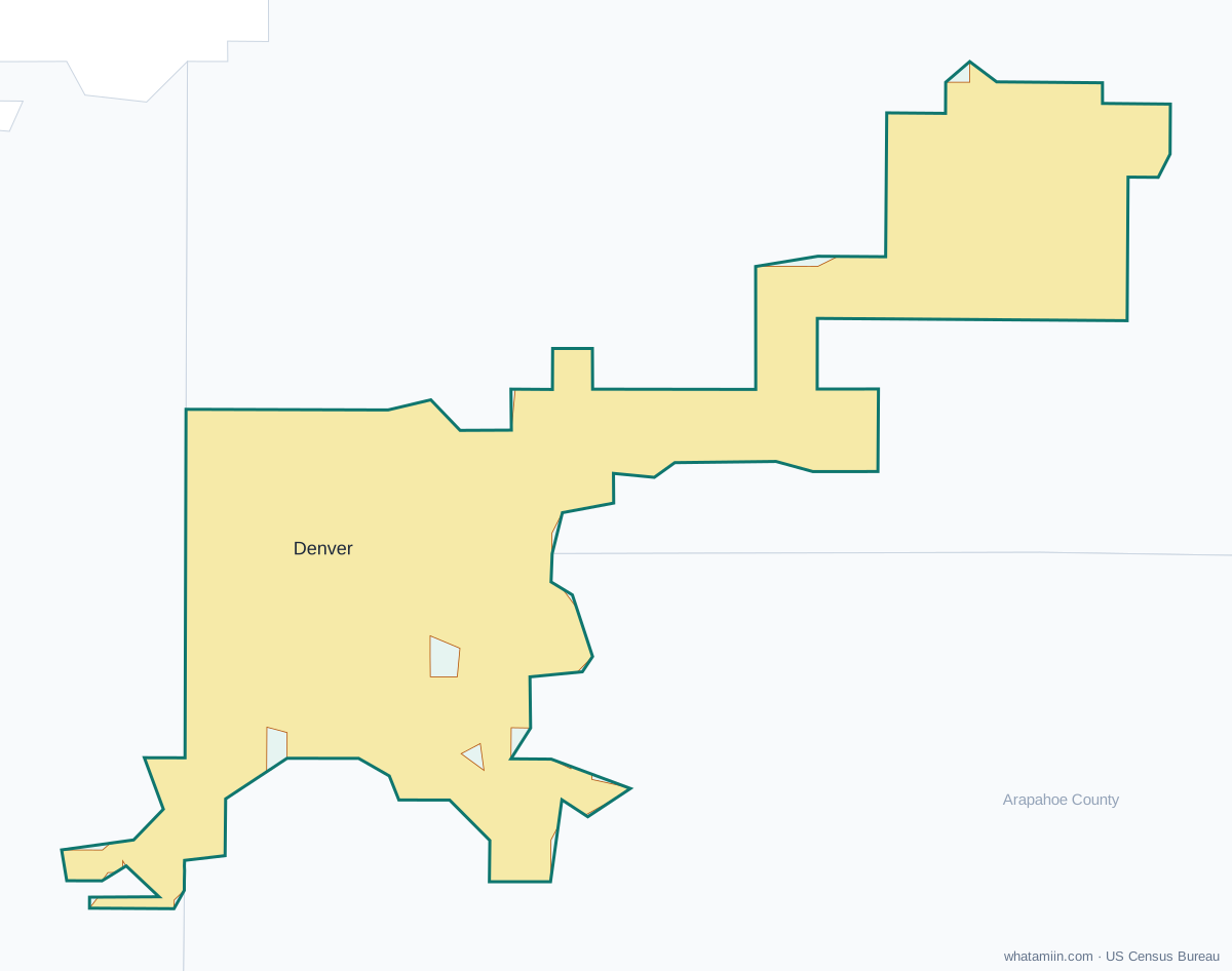
Denver County at a glance
| County seat | Denver |
|---|---|
| Population (2024) | 729,019 · 2nd of 64 in Colorado |
| Change since 2020 | +1.9% |
| Land area | 153 sq mi |
| Density | 4,762 people per sq mi |
| Time zone | Mountain |
| Elevation | 5,154 ft to 5,640 ft (median 5,344 ft) |
| FIPS code | 08031 |
Cities and towns in Denver County
1 incorporated cities, towns and villages have land in Denver County, led by Denver with 729,019 residents inside the county. The rest of the county's people live in unincorporated areas, which the county governs directly.
| City or town | Population in county (2024) |
|---|---|
| Denver | 729,019 |
Townships and county subdivisions
Denver CCD
ZIP codes in Denver County
41 ZIP code areas include land in Denver County. 10 of them lie mostly in a neighboring county.
Mostly in Denver County: 80202, 80203, 80204, 80205, 80206, 80207, 80209, 80210, 80211, 80212, 80216, 80218, 80219, 80220, 80222, 80223, 80224, 80230, 80231, 80236, 80237, 80238, 80239, 80246, 80247, 80249, 80264, 80266, 80290, 80293, 80294
Partly in Denver County: 80012, 80014, 80110, 80123, 80214, 80221, 80226, 80227, 80232, 80235
Neighboring counties
Adams County · Arapahoe County · Jefferson County
See every county on the Colorado county map or in the list of Colorado counties, or find ZIP areas on the Colorado ZIP code map. To check which county an exact address is in, use what county am I in.
More Colorado county profiles: El Paso County