Every map here is drawn from US Census Bureau boundaries. Each comes in three formats: PDF for printing, PNG for slides and documents, and SVG for editing or scaling to poster size. Blank versions have outlines only, for quizzes, coloring and fill-in exercises.
Free to use: CC BY 4.0
All maps on this site are free to use, share and adapt under the CC BY 4.0 licence, including in commercial work, as long as you credit us. Use this credit line, with the link where you can:
Map: whatamiin.com (CC BY 4.0), US Census Bureau dataTime-zone maps also contain data © OpenStreetMap contributors, so add "time zones © OpenStreetMap contributors" to the credit for those. You do not need to ask permission. We like to hear where the maps end up, though, so tell us if you use one in a book, class or article.
National maps
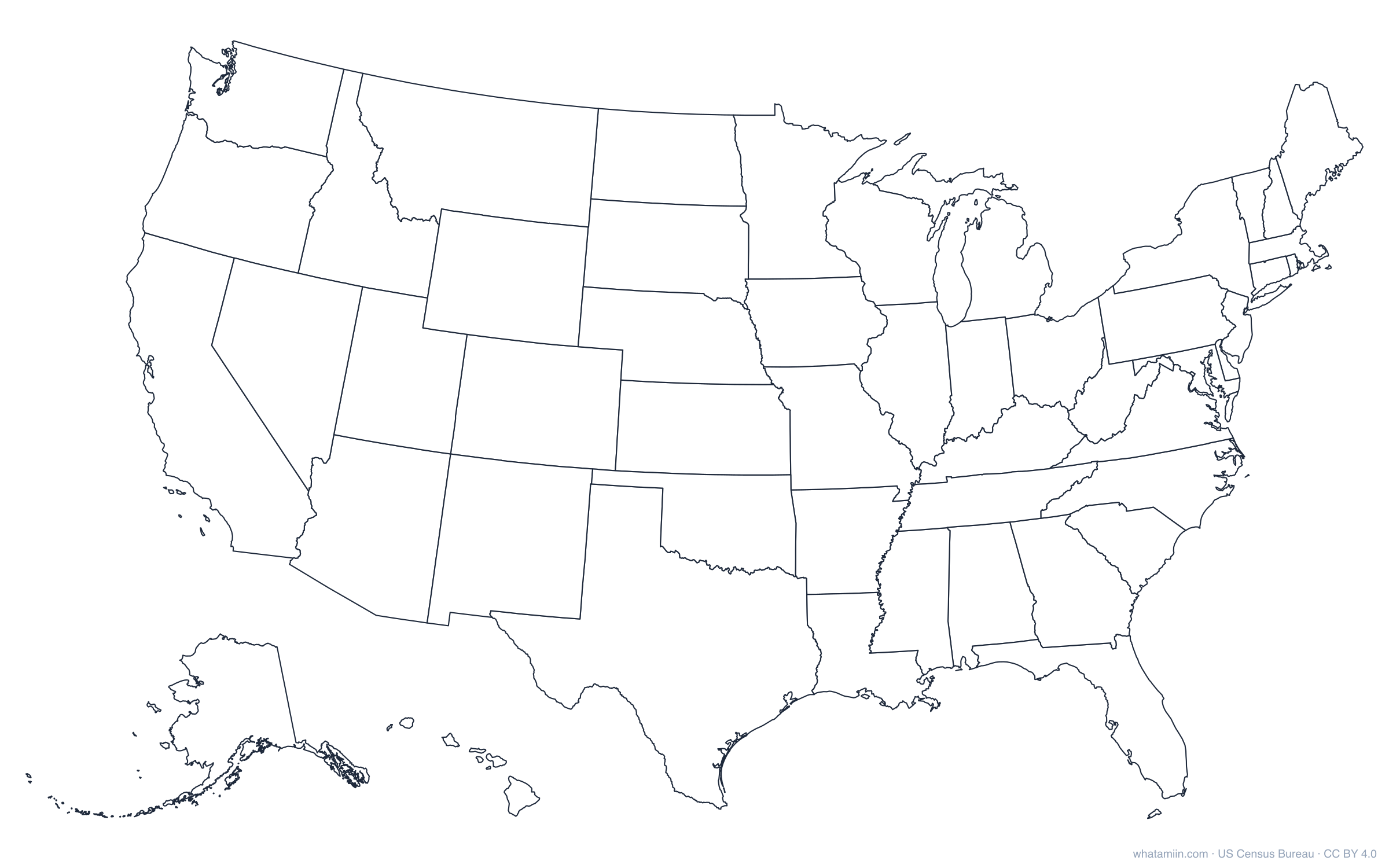
- Blank US map: all 50 states, blank or labeled, plus a plain US outline (PDF · PNG)
- State outlines: the outline of every state, in PDF, PNG and SVG
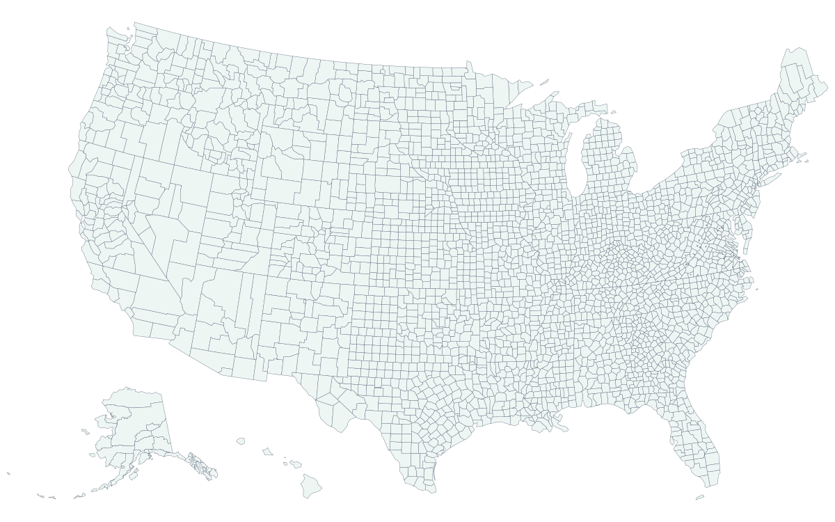
- US county map: all 3,144 counties and county-equivalents on one map (SVG)
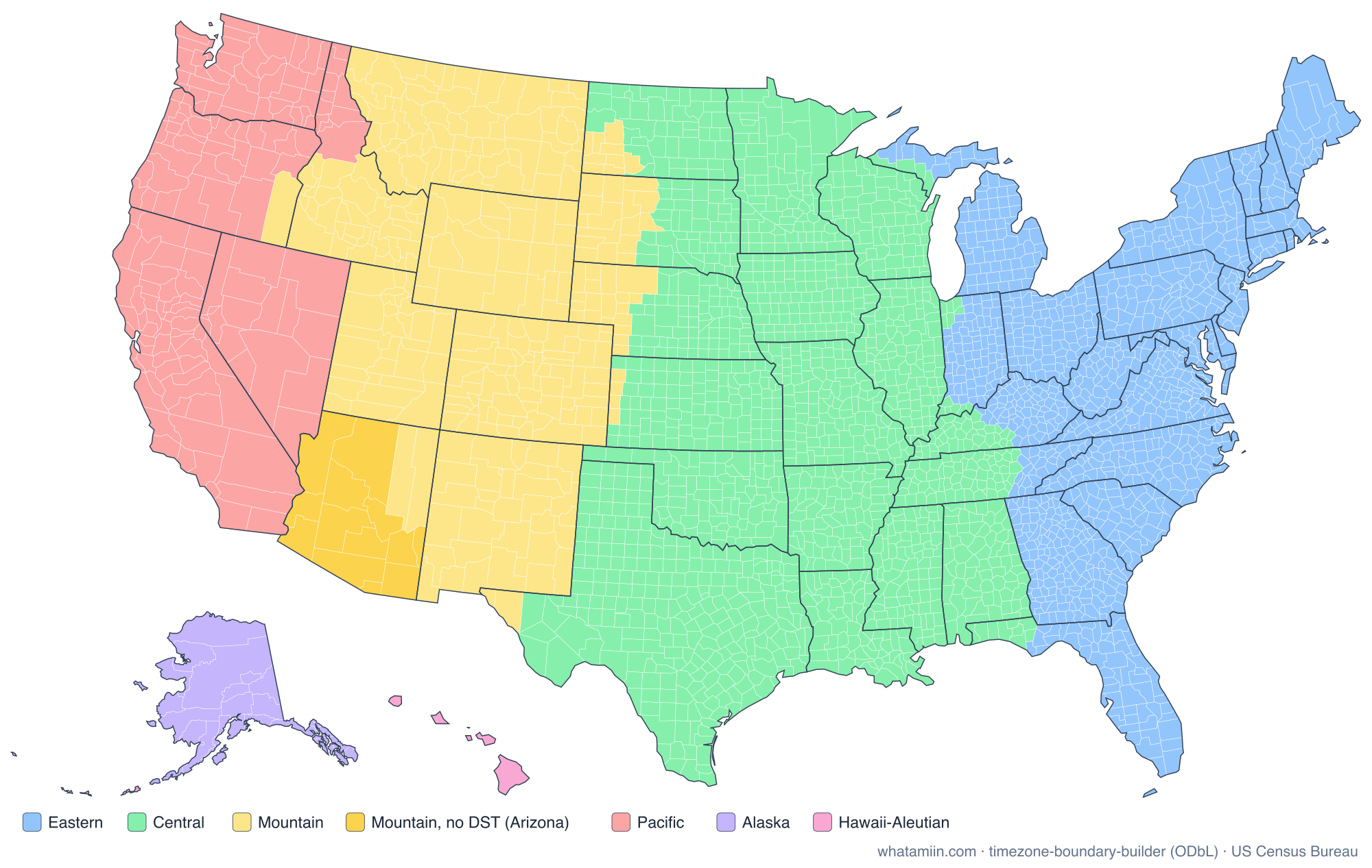
- US time zone map: every IANA time zone in the states (PDF · PNG)
- County map maker: color your own US county or state map and download it
- Reference-line maps: Equator, Prime Meridian, Tropic of Cancer, Tropic of Capricorn, Arctic Circle, International Date Line
County and ZIP code maps by state (PDF)
State names open the state's map page, with PNG and SVG versions, a county list and a county lookup. Fourteen states split across time zones also have a time-zone map.
Printing tips
Print PDFs at "Actual size" or "Fit to page", not "Shrink oversized pages", or labels may get small. For a wall map, open the SVG in a browser or Inkscape and print it across several sheets, or send it to a print shop: SVGs stay sharp at any size. Large states such as Texas (254 counties) and Georgia (159) have small labels by necessity. The blank version plus our county lists makes a good worksheet pair.