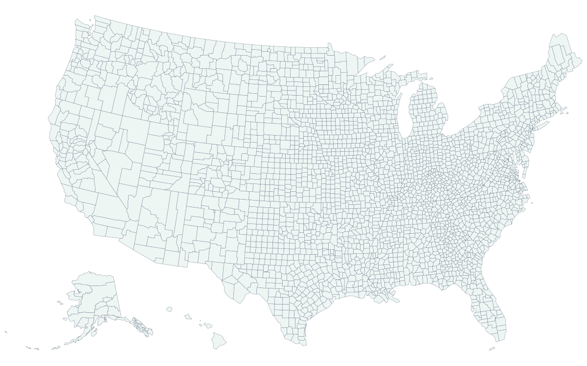
How US counties are organized
Counties are the main subdivision of nearly every state, and the Census Bureau counts 3,144 counties and county-equivalents in the 50 states and DC. Their number and their powers vary widely. Texas has 254 counties; Delaware has 3. In much of the South and West, counties run courts, roads, elections and law enforcement. In New England, towns do most of that work and counties are weak or gone.
| State | What the map shows |
|---|---|
| Louisiana | 64 parishes |
| Alaska | 30 boroughs and census areas; much of the state has no borough government |
| Virginia | 95 counties and 38 independent cities |
| Maryland, Missouri, Nevada | One independent city each: Baltimore, St. Louis and Carson City |
| Connecticut | 9 planning regions, used by the Census Bureau since 2022 |
| Rhode Island | 5 counties with no county government |
| Massachusetts | 14 counties, several of which no longer have a county government |
| New York | 62 counties, five of which are the boroughs of New York City |
What each state page offers
- Printable county maps in PNG, SVG and PDF, each in a labeled version with county names and a blank version for quizzes, coloring and your own notes.
- A sortable county list with every county or county-equivalent in the state, so you can scan names alphabetically or sort by the other columns.
All maps are drawn from the Census Bureau's cartographic boundary files, which are generalized from the official lines for clear display at state scale. They are accurate for reference and printing, but for a legal boundary question near a county line, check with the county itself.
Other ways to use the maps
To color counties yourself, for counties visited or sales territories, use the county map maker. To find the county at your location or an address, use what county am I in, or address to county for a whole list of addresses.