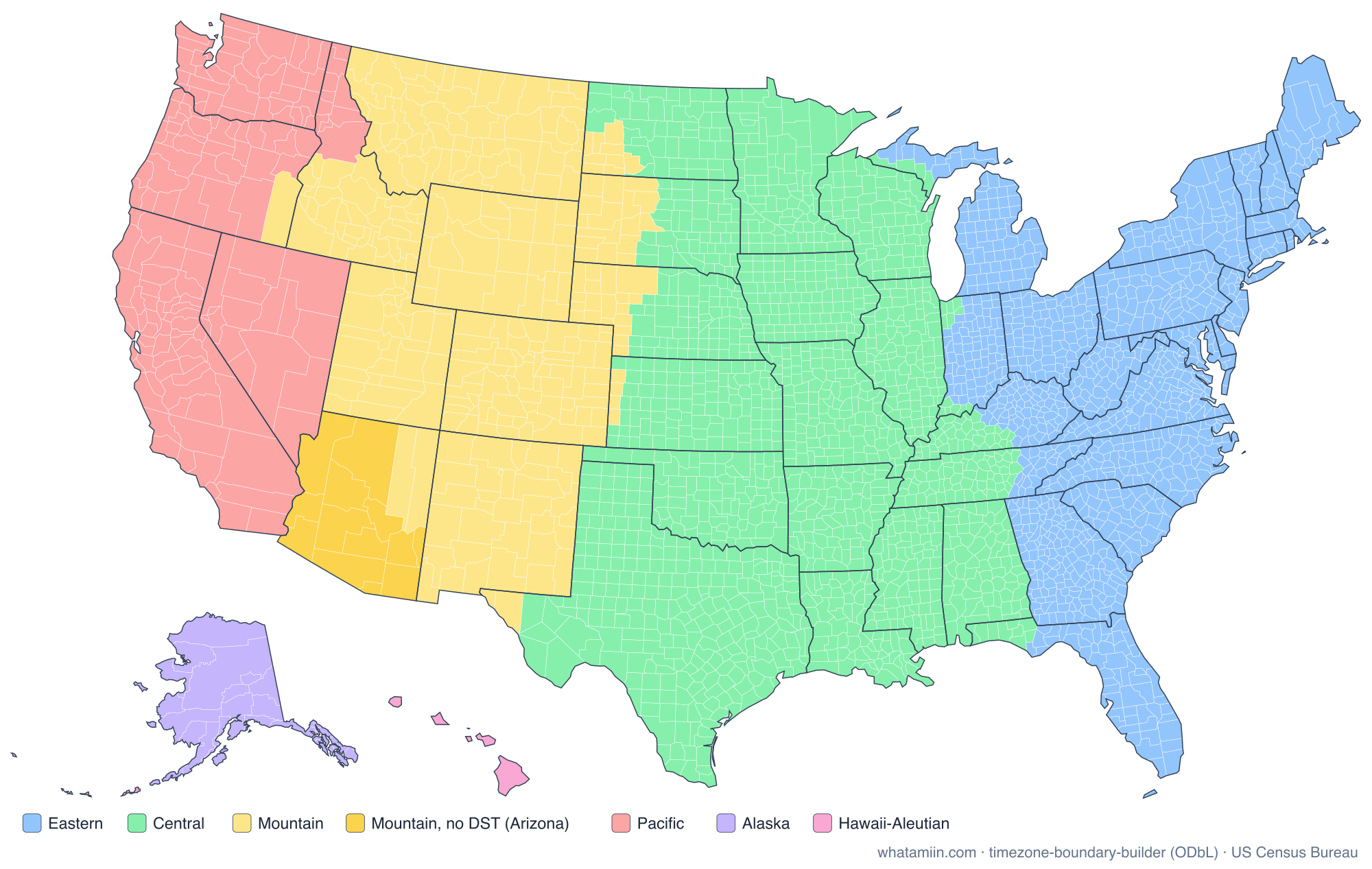
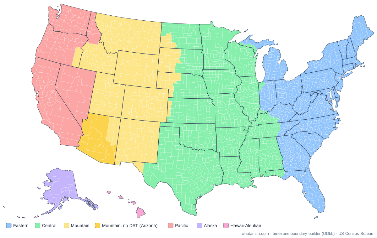
The zones and their offsets
Each zone is defined by its offset from Coordinated Universal Time (UTC). During daylight saving time, most zones move one hour closer to UTC.
| Zone | Standard time | Daylight time | Where |
|---|---|---|---|
| Atlantic | UTC−4 | Not observed | Puerto Rico, US Virgin Islands |
| Eastern | UTC−5 | UTC−4 | East Coast, Ohio Valley, most of Indiana and Michigan |
| Central | UTC−6 | UTC−5 | Midwest, Gulf Coast, most of Texas |
| Mountain | UTC−7 | UTC−6 | Rocky Mountain states; Arizona stays on UTC−7 |
| Pacific | UTC−8 | UTC−7 | California, Washington, Nevada, most of Oregon |
| Alaska | UTC−9 | UTC−8 | Nearly all of Alaska |
| Hawaii-Aleutian | UTC−10 | UTC−9 (Aleutians only) | Hawaii; Aleutian Islands west of 169°30′W |
| Samoa | UTC−11 | Not observed | American Samoa |
| Chamorro | UTC+10 | Not observed | Guam, Northern Mariana Islands |
The span is wide: when it is noon in Puerto Rico in winter, it is 6:00 a.m. in Honolulu and 2:00 a.m. the next day in Guam.
Daylight saving time rules
Most of the country moves clocks forward on the second Sunday in March and back on the first Sunday in November. The exceptions:
- Arizona stays on Mountain Standard Time all year, so in summer its clocks match California's. The Navajo Nation, in the northeast of the state, does observe daylight saving time; the Hopi Reservation, surrounded by Navajo land, does not.
- Hawaii stays on standard time all year. The Aleutian Islands, in the same zone, do change their clocks.
- The territories, Puerto Rico, the US Virgin Islands, Guam, the Northern Mariana Islands and American Samoa, do not observe it. Being close to the equator, they gain little from it.
States split between zones
Fourteen states have territory in two zones: thirteen in the lower 48, plus Alaska. In most, the line follows county boundaries. A few counties are themselves split, among them Gulf County in Florida, Idaho County in Idaho, Malheur County in Oregon and Stanley County in South Dakota. Choose a state below for its county-by-county list and notes on where the line runs.
Indiana has the most tangled history. Until 2006, most of the state stayed on Eastern Standard Time all year while its Central-zone corners near Chicago and Evansville changed their clocks. Indiana adopted daylight saving time statewide in April 2006, and today 12 of its 92 counties are on Central time.
How the map is made
The county colors come from timezone-boundary-builder, which traces zone boundaries from OpenStreetMap and matches them to the IANA time zone database. It records the time people actually keep, which occasionally differs from the legal line. Details are on our data sources page. To check the zone at your exact spot, use what time zone am I in.