Home › Printable maps › Blank US map

Printable · free under CC BY 4.0

Blank Map of the United States

A clean outline map of the 50 states, free to print, share and edit. Pick blank, labeled or outline only.

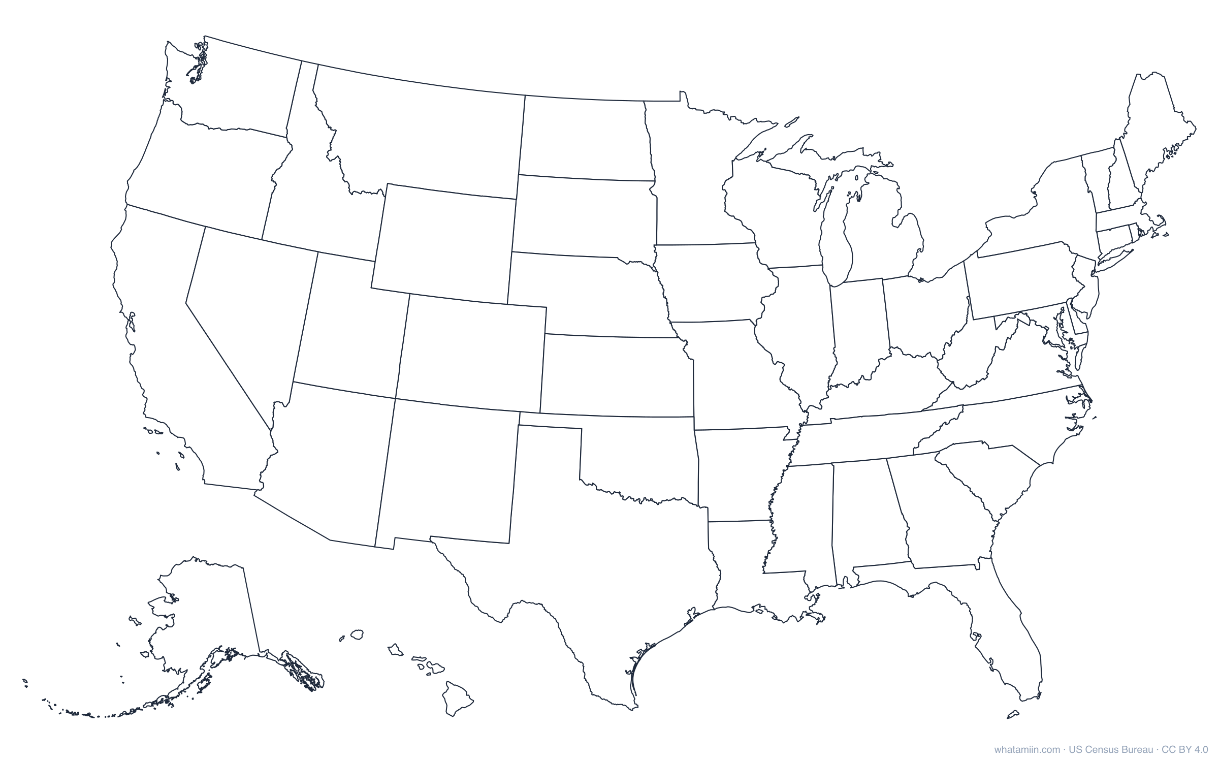
Blank map of the United States showing the outlines of all 50 states, with Alaska and Hawaii inset
Blank US map: state borders only, Alaska and Hawaii inset.

Blank, 50 states: PNGSVGPDF

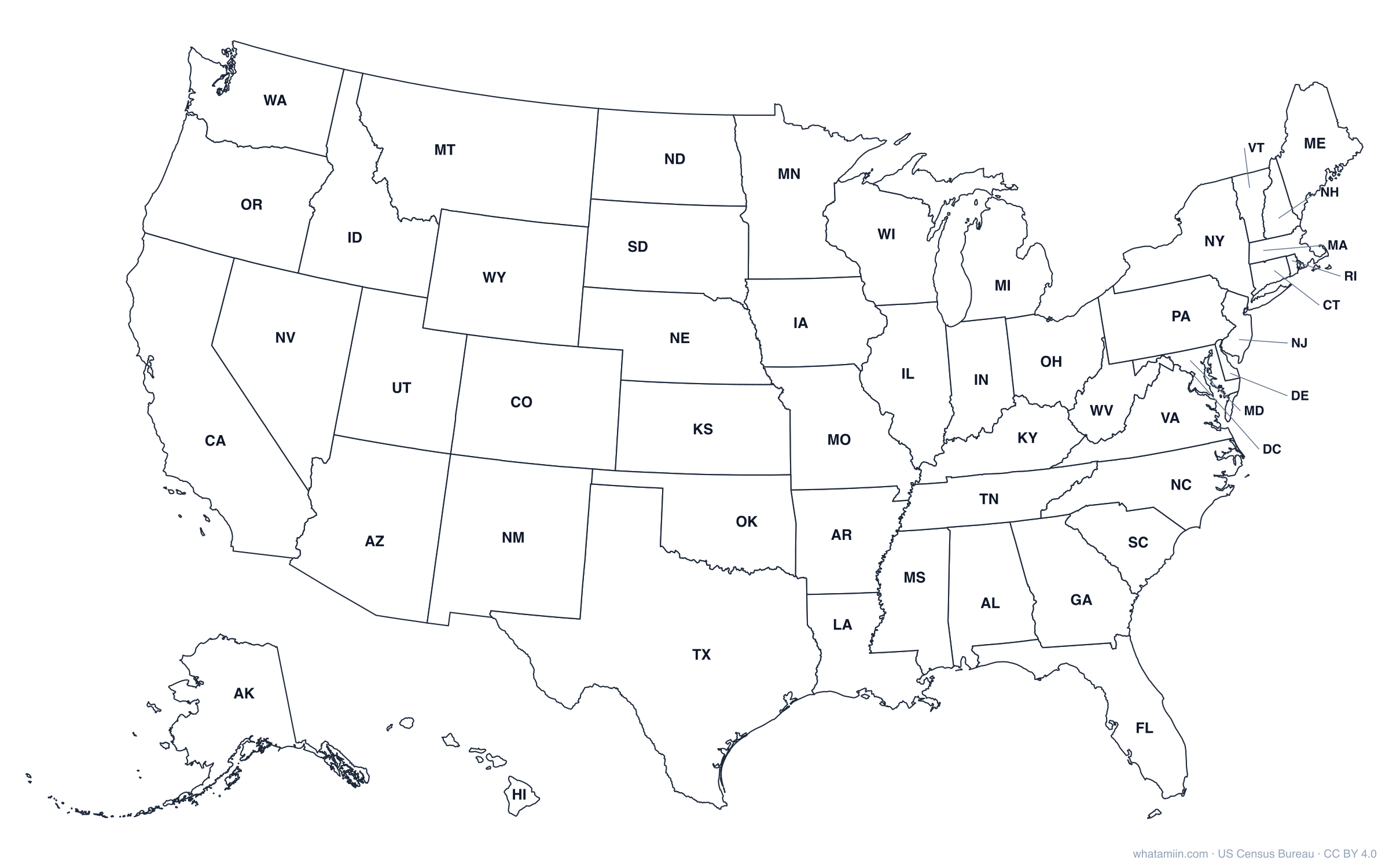
Labeled with state abbreviations: PNGSVGPDF

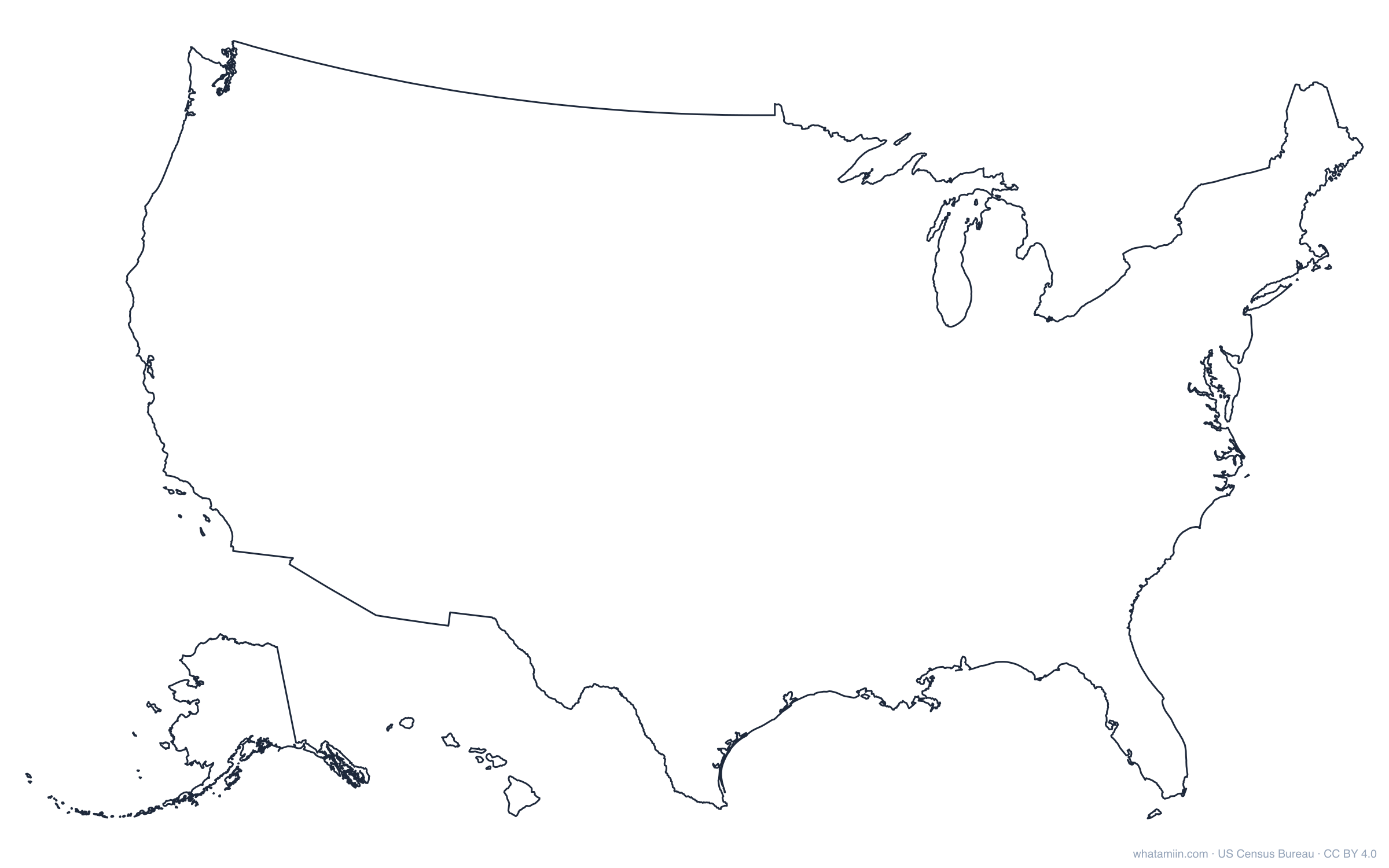
US outline only (no state lines): PNGSVGPDF

Which version to use

  • Blank, 50 states: every state border with no names. Use it for geography quizzes, coloring a map by data, or marking places you've visited.
  • Labeled: the same map with two-letter state abbreviations. Small northeastern states get a pointer line so every label stays readable.
  • US outline only: the outer border of the country with no state lines, for logos, cut files and design work.

Every version comes as a PDF for printing on US Letter or A4, a 2,400-pixel PNG for slides and documents, and an SVG you can edit in Illustrator, Inkscape, Canva or Google Slides. Alaska and Hawaii are shown as insets, at a smaller scale, in the lower left. That is the standard layout for US maps; their true sizes are compared on our true size comparisons.

Printing tips

Print the PDF at "Fit to page" in landscape. For a large wall or floor map, open the SVG in a browser and print it across several sheets, or send it to a print shop: vector files stay sharp at any size. To color states by data, the free map maker lets you click states (or counties) and download the result.

Free to use

The maps are free for any use, including commercial, under CC BY 4.0. Please credit "whatamiin.com, US Census Bureau data". Borders come from US Census Bureau boundary files.

Outlines of each state

Need a single state? Every state has its own printable outline. See all of them on the state outlines page, or download one here.

StateAbbr.OutlineCounties
AlabamaALOutline PDFCounty map
AlaskaAKOutline PDFCounty map
ArizonaAZOutline PDFCounty map
ArkansasAROutline PDFCounty map
CaliforniaCAOutline PDFCounty map
ColoradoCOOutline PDFCounty map
ConnecticutCTOutline PDFCounty map
DelawareDEOutline PDFCounty map
FloridaFLOutline PDFCounty map
GeorgiaGAOutline PDFCounty map
HawaiiHIOutline PDFCounty map
IdahoIDOutline PDFCounty map
IllinoisILOutline PDFCounty map
IndianaINOutline PDFCounty map
IowaIAOutline PDFCounty map
KansasKSOutline PDFCounty map
KentuckyKYOutline PDFCounty map
LouisianaLAOutline PDFCounty map
MaineMEOutline PDFCounty map
MarylandMDOutline PDFCounty map
MassachusettsMAOutline PDFCounty map
MichiganMIOutline PDFCounty map
MinnesotaMNOutline PDFCounty map
MississippiMSOutline PDFCounty map
MissouriMOOutline PDFCounty map
MontanaMTOutline PDFCounty map
NebraskaNEOutline PDFCounty map
NevadaNVOutline PDFCounty map
New HampshireNHOutline PDFCounty map
New JerseyNJOutline PDFCounty map
New MexicoNMOutline PDFCounty map
New YorkNYOutline PDFCounty map
North CarolinaNCOutline PDFCounty map
North DakotaNDOutline PDFCounty map
OhioOHOutline PDFCounty map
OklahomaOKOutline PDFCounty map
OregonOROutline PDFCounty map
PennsylvaniaPAOutline PDFCounty map
Rhode IslandRIOutline PDFCounty map
South CarolinaSCOutline PDFCounty map
South DakotaSDOutline PDFCounty map
TennesseeTNOutline PDFCounty map
TexasTXOutline PDFCounty map
UtahUTOutline PDFCounty map
VermontVTOutline PDFCounty map
VirginiaVAOutline PDFCounty map
WashingtonWAOutline PDFCounty map
West VirginiaWVOutline PDFCounty map
WisconsinWIOutline PDFCounty map
WyomingWYOutline PDFCounty map

Questions

Is this blank US map free?

Yes. It is free to print, share and adapt, including commercially, under CC BY 4.0. Credit whatamiin.com and the US Census Bureau.

Which file should I print?

The PDF. Print it in landscape at "Fit to page" on US Letter or A4.

Does the map include Alaska and Hawaii?

Yes, as insets in the lower left, at a reduced scale so the map fits on one page.

Is there a version with state names?

Yes. The labeled version shows each state's two-letter abbreviation.

Boundaries: US Census Bureau cartographic boundary files 2024, dissolved to state outlines. Free under CC BY 4.0. All printable maps