Jefferson County at a glance
| County seat | Louisville |
|---|---|
| Population (2024) | 793,881 · 1st of 120 in Kentucky |
| Change since 2020 | +1.4% |
| Land area | 381 sq mi |
| Density | 2,085 people per sq mi |
| Time zone | Eastern |
| Elevation | 420 ft to 860 ft (median 561 ft) |
| FIPS code | 21111 |
Cities and towns in Jefferson County
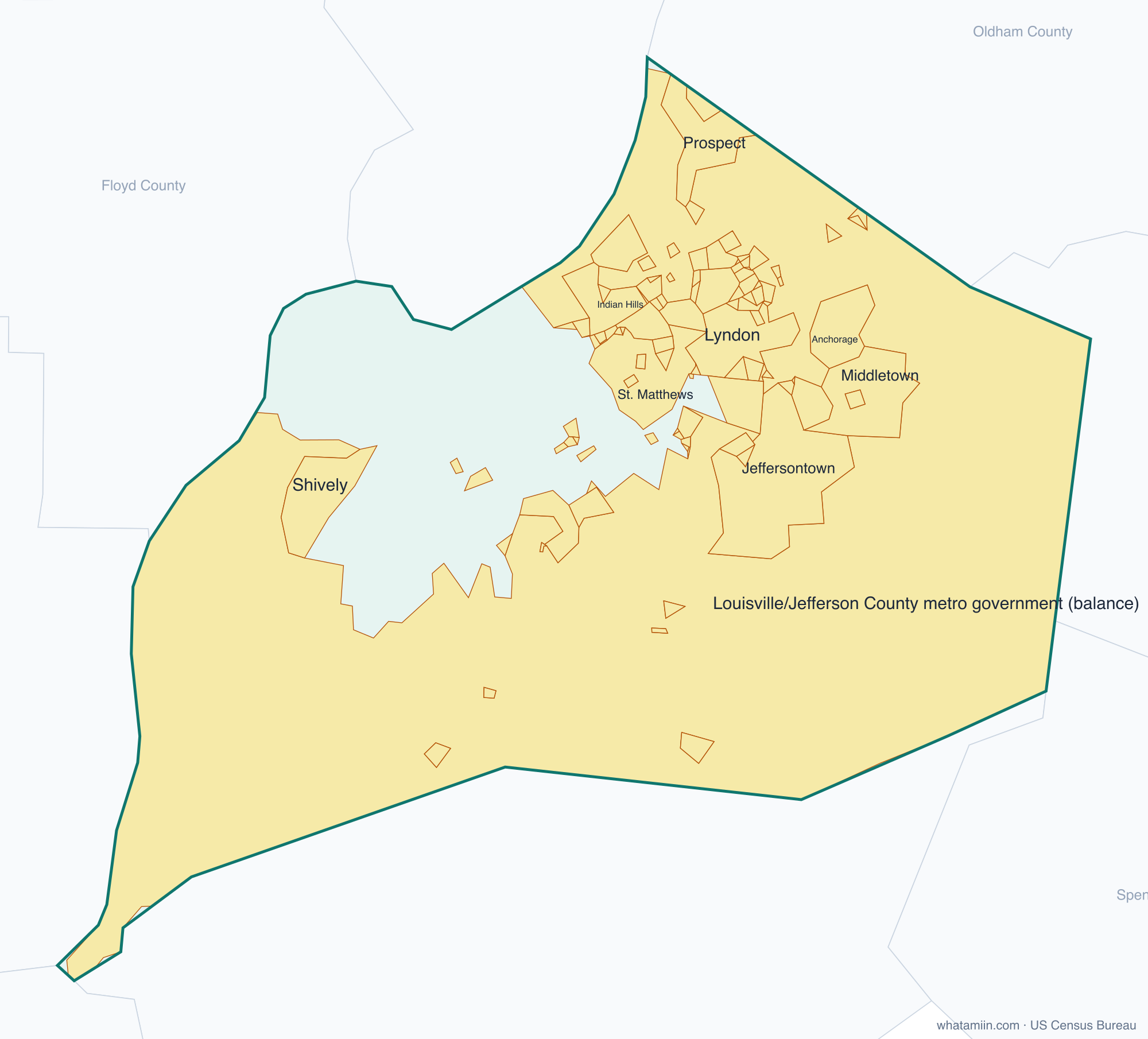
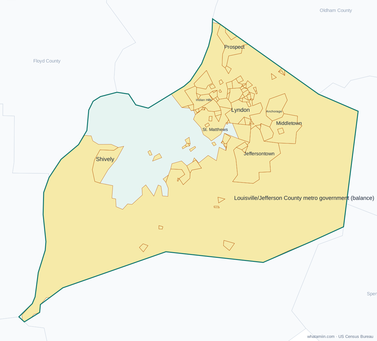
84 incorporated cities, towns and villages have land in Jefferson County, led by Louisville with 640,796 residents inside the county. The rest of the county's people live in unincorporated areas, which the county governs directly.
| City or town | Population in county (2024) |
|---|---|
| Louisville | 640,796 |
| Jeffersontown | 29,388 |
| St. Matthews | 17,806 |
| Shively | 15,850 |
| Lyndon | 11,221 |
| Middletown | 9,908 |
| Douglass Hills | 5,558 |
| Hurstbourne | 4,777 |
| Prospect | 4,633 |
| Indian Hills | 2,934 |
| Graymoor-Devondale | 2,810 |
| Anchorage | 2,538 |
| Windy Hills | 2,471 |
| Hurstbourne Acres | 2,005 |
| Worthington Hills | 1,598 |
| St. Regis Park | 1,459 |
| Audubon Park | 1,449 |
| West Buechel | 1,393 |
| Coldstream | 1,322 |
| Beechwood Village | 1,293 |
| Heritage Creek | 1,241 |
| Barbourmeade | 1,237 |
| Watterson Park | 1,027 |
| Northfield | 1,014 |
| Lynnview | 959 |
| Woodlawn Park | 958 |
| Rolling Hills | 947 |
| Bellemeade | 923 |
| Langdon Place | 889 |
| Fincastle | 862 |
| Plantation | 837 |
| Hollow Creek | 812 |
| Blue Ridge Manor | 808 |
| Woodland Hills | 740 |
| Meadow Vale | 736 |
| Rolling Fields | 731 |
| Green Spring | 726 |
| Strathmoor Village | 690 |
| Spring Valley | 687 |
| Seneca Gardens | 678 |
| Brownsboro Farm | 651 |
| Parkway Village | 624 |
| Glenview | 604 |
| Westwood | 584 |
| Murray Hill | 579 |
| Wellington | 573 |
| Hollyvilla | 526 |
| Bancroft | 514 |
| Houston Acres | 503 |
| Riverwood | 499 |
| Briarwood | 454 |
| Forest Hills | 444 |
| Norbourne Estates | 442 |
| Moorland | 441 |
| Meadowview Estates | 437 |
| Richlawn | 421 |
| Kingsley | 400 |
| Poplar Hills | 387 |
| Norwood | 384 |
| Glenview Hills | 381 |
Showing the 60 largest of 84.
Townships and county subdivisions
Central Jefferson CCD, East Jefferson CCD, Floyds Fork CCD, Louisville Airport CCD, Louisville Central CCD, Louisville East CCD, Louisville South CCD, Louisville West CCD, North Dixie CCD, Northeast Jefferson CCD, Pond Creek CCD, South Dixie CCD, South Jefferson CCD, Southeast Jefferson CCD
ZIP codes in Jefferson County
43 ZIP code areas include land in Jefferson County. 5 of them lie mostly in a neighboring county.
Mostly in Jefferson County: 40023, 40025, 40041, 40118, 40202, 40203, 40204, 40205, 40206, 40207, 40208, 40209, 40210, 40211, 40212, 40213, 40214, 40215, 40216, 40217, 40218, 40219, 40220, 40221, 40222, 40223, 40228, 40229, 40231, 40241, 40242, 40243, 40245, 40258, 40272, 40280, 40291, 40299
Partly in Jefferson County: 40014, 40047, 40059, 40109, 40177
Neighboring counties
Clark County, IN · Floyd County, IN · Harrison County, IN · Bullitt County · Hardin County · Oldham County · Shelby County · Spencer County
See every county on the Kentucky county map or in the list of Kentucky counties, or find ZIP areas on the Kentucky ZIP code map. To check which county an exact address is in, use what county am I in.