Prince George's County at a glance
| County seat | Upper Marlboro |
|---|---|
| Population (2024) | 966,629 · 2nd of 24 in Maryland |
| Change since 2020 | -0.1% |
| Land area | 483 sq mi |
| Density | 2,003 people per sq mi |
| Time zone | Eastern |
| Elevation | -30 ft to 361 ft (median 161 ft) |
| FIPS code | 24033 |
Cities and towns in Prince George's County
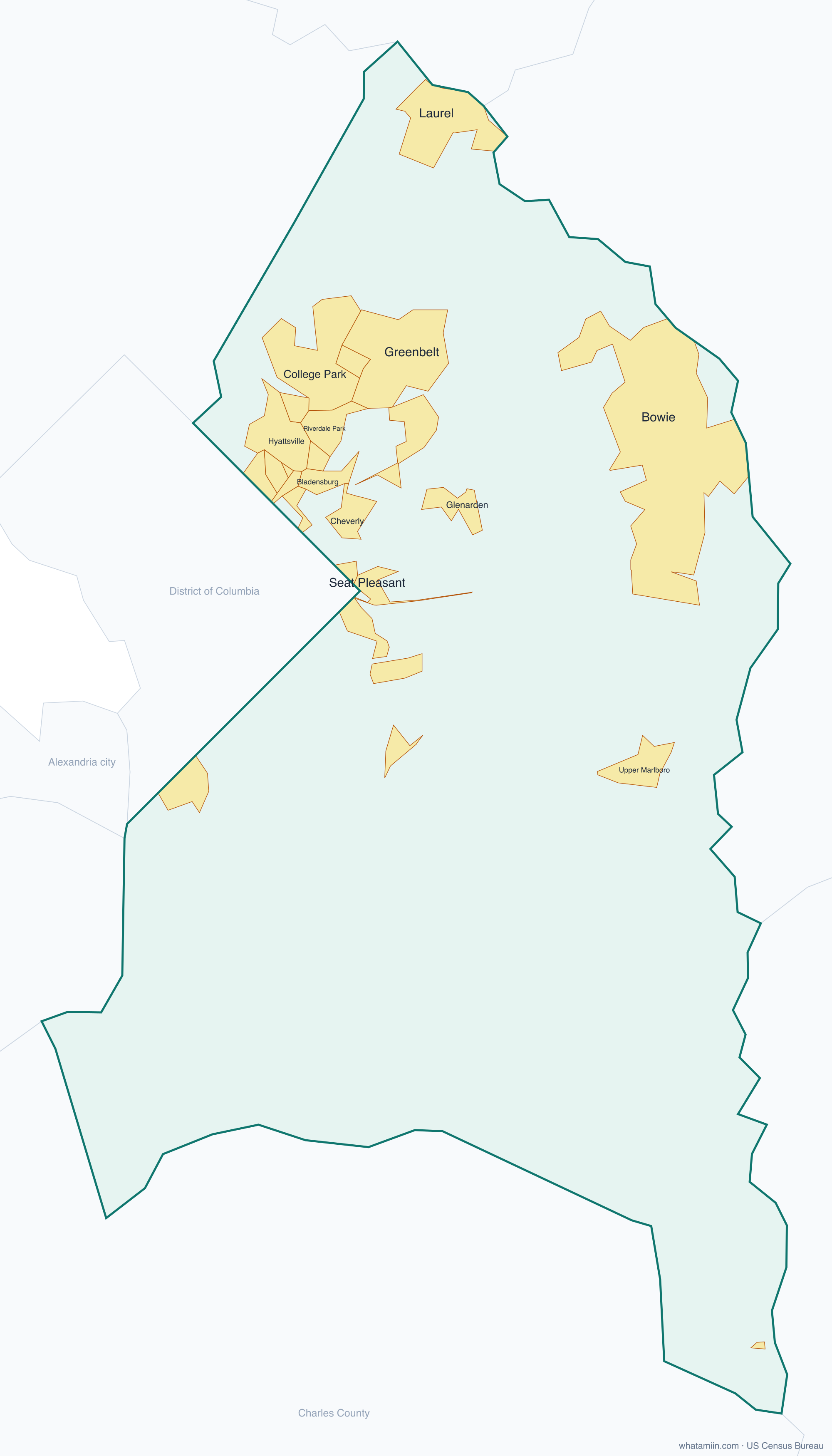
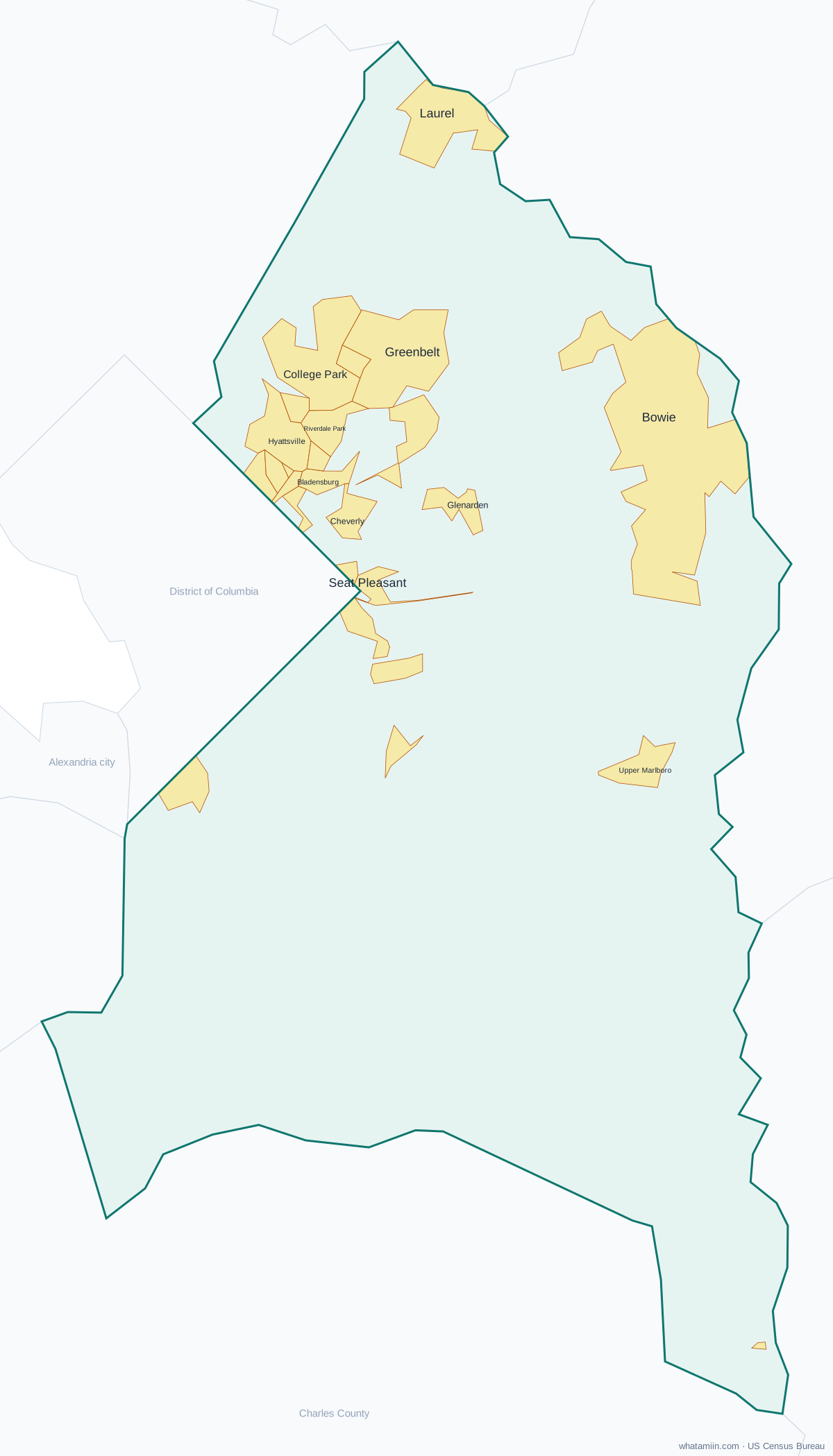
27 incorporated cities, towns and villages have land in Prince George's County, led by Bowie with 58,421 residents inside the county. The rest of the county's people live in unincorporated areas, which the county governs directly.
| City or town | Population in county (2024) |
|---|---|
| Bowie | 58,421 |
| College Park | 34,667 |
| Laurel | 30,238 |
| Greenbelt | 24,843 |
| Hyattsville | 21,052 |
| New Carrollton | 13,645 |
| Bladensburg | 9,635 |
| Mount Rainier | 8,269 |
| Riverdale Park | 7,296 |
| Glenarden | 6,394 |
| Cheverly | 6,125 |
| District Heights | 5,916 |
| Seat Pleasant | 4,518 |
| Capitol Heights | 4,038 |
| Brentwood | 3,795 |
| Berwyn Heights | 3,325 |
| Forest Heights | 2,639 |
| University Park | 2,431 |
| Landover Hills | 1,799 |
| Edmonston | 1,609 |
| Colmar Manor | 1,586 |
| Fairmount Heights | 1,522 |
| Cottage City | 1,322 |
| Morningside | 1,235 |
| Upper Marlboro | 718 |
| North Brentwood | 587 |
| Eagle Harbor | 67 |
Townships and county subdivisions
District 1, Vansville, District 10, Laurel, District 11, Brandywine, District 12, Oxon Hill, District 13, Kent, District 14, Bowie, District 15, Mellwood, District 16, Hyattsville, District 17, Chillum, District 18, Seat Pleasant, District 19, Riverdale, District 2, Bladensburg, District 20, Lanham, District 21, Berwyn, District 3, Marlboro, District 4, Nottingham, District 5, Piscataway, District 6, Spauldings, District 7, Queen Anne, District 8, Aquasco, District 9, Surratts
ZIP codes in Prince George's County
40 ZIP code areas include land in Prince George's County. 4 of them lie mostly in a neighboring county.
Mostly in Prince George's County: 20607, 20608, 20613, 20623, 20705, 20706, 20707, 20708, 20710, 20712, 20715, 20716, 20720, 20721, 20722, 20735, 20737, 20740, 20742, 20743, 20744, 20745, 20746, 20747, 20748, 20762, 20769, 20770, 20771, 20772, 20774, 20781, 20782, 20783, 20784, 20785
Partly in Prince George's County: 20601, 20903, 20904, 20912
Neighboring counties
District of Columbia, DC · Anne Arundel County · Calvert County · Charles County · Howard County · Montgomery County · Fairfax County, VA · Alexandria city, VA
See every county on the Maryland county map or in the list of Maryland counties, or find ZIP areas on the Maryland ZIP code map. To check which county an exact address is in, use what county am I in.
More Maryland county profiles: Baltimore County · Montgomery County