Macomb County at a glance
| County seat | Mount Clemens |
|---|---|
| Population (2024) | 886,175 · 3rd of 83 in Michigan |
| Change since 2020 | +0.6% |
| Land area | 479 sq mi |
| Density | 1,849 people per sq mi |
| Time zone | Eastern |
| Elevation | 571 ft to 1,007 ft (median 640 ft) |
| FIPS code | 26099 |
Cities and towns in Macomb County
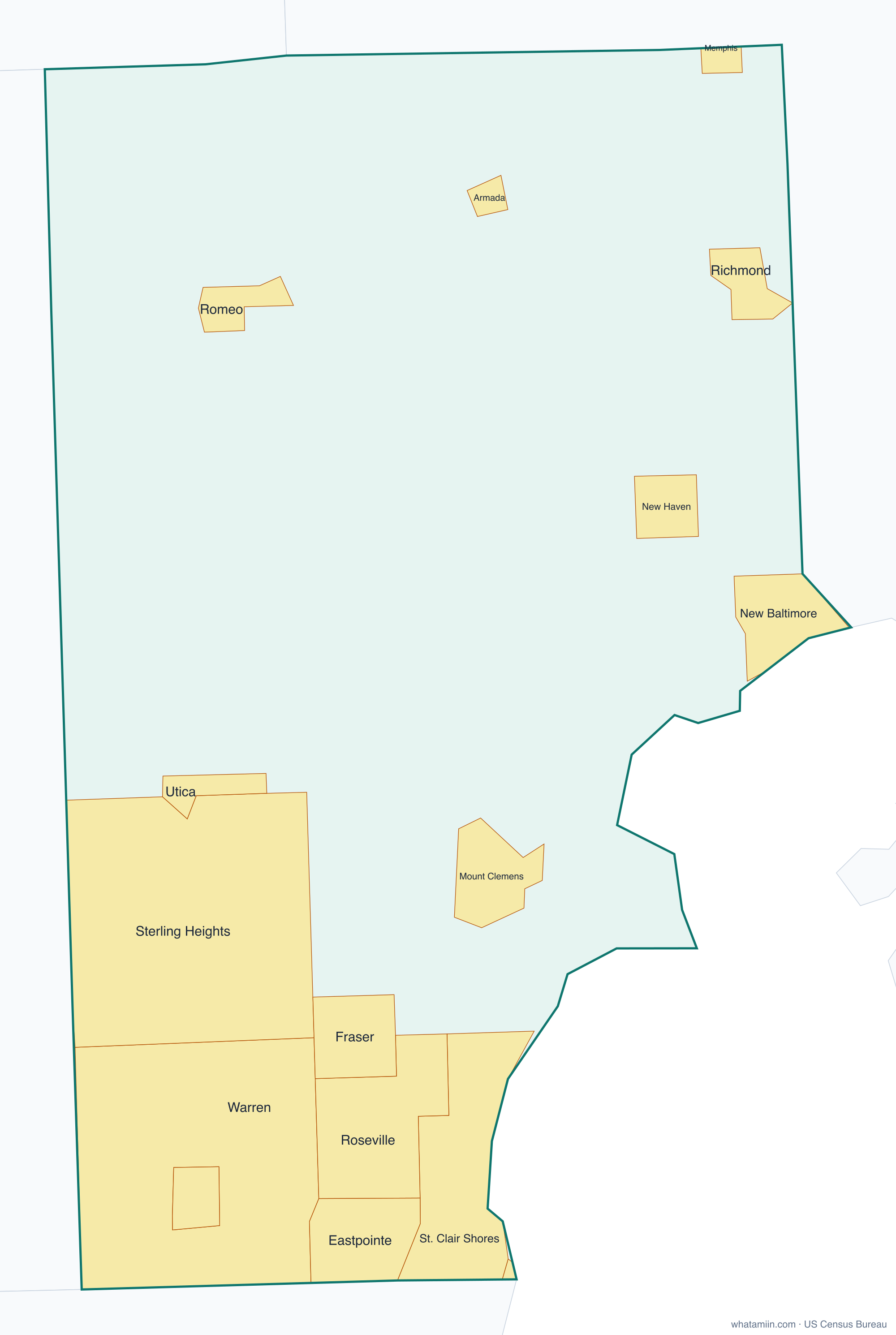
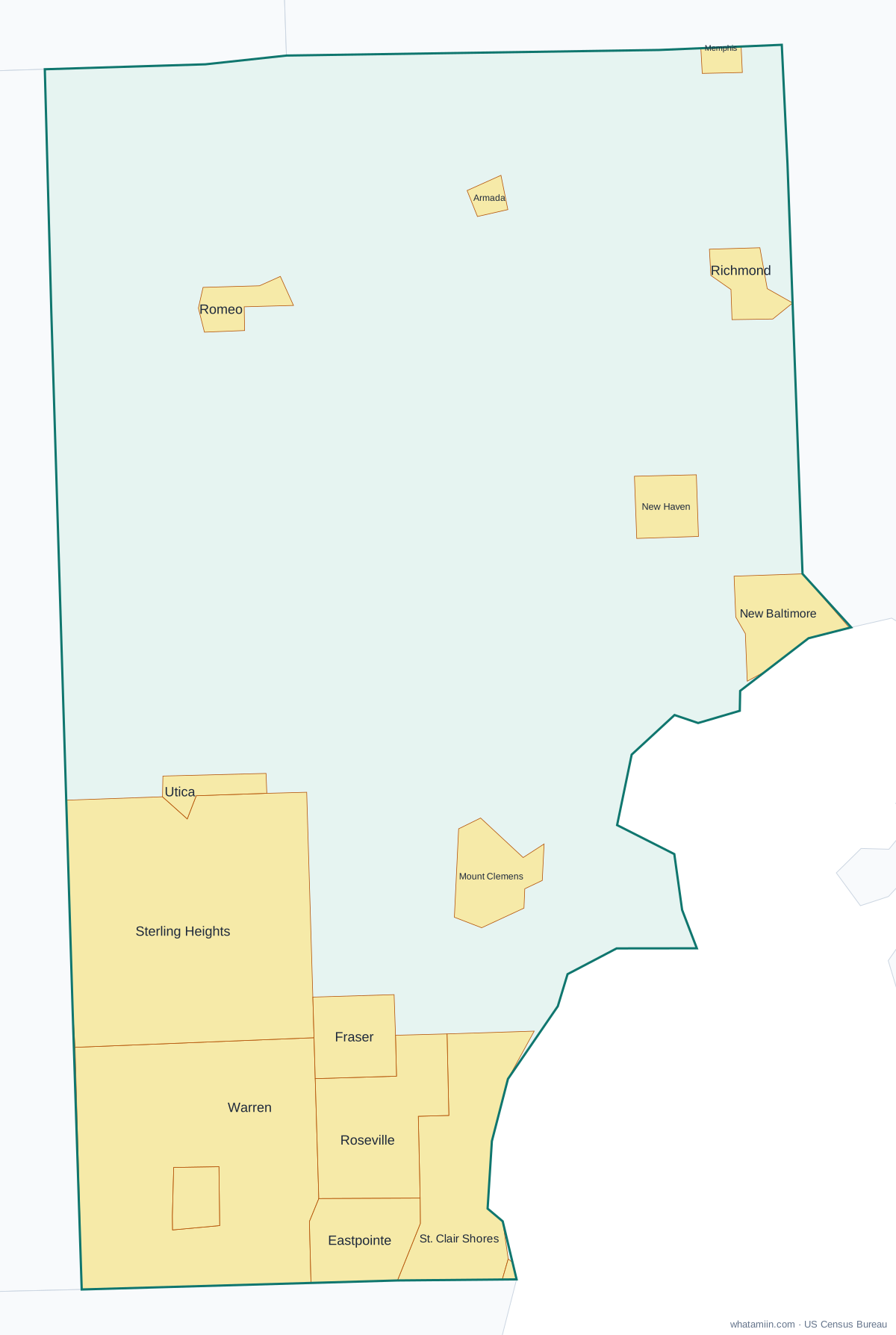
16 incorporated cities, towns and villages have land in Macomb County, led by Warren with 137,686 residents inside the county. The rest of the county's people live in unincorporated areas, which the county governs directly.
| City or town | Population in county (2024) |
|---|---|
| Warren | 137,686 |
| Sterling Heights | 134,342 |
| St. Clair Shores | 58,077 |
| Roseville | 47,047 |
| Eastpointe | 33,943 |
| Mount Clemens | 15,480 |
| Fraser | 14,549 |
| New Baltimore | 12,132 |
| Center Line | 8,533 |
| New Haven | 6,711 |
| Richmond | 5,904 |
| Utica | 5,139 |
| Romeo | 3,758 |
| Armada | 1,687 |
| Memphis | 771 |
| Village of Grosse Pointe Shores | 79 |
Townships and county subdivisions
Armada township, Bruce township, Center Line city, Chesterfield township, Clinton charter township, Eastpointe city, Fraser city, Harrison charter township, Lenox township, Macomb township, Memphis city, Mount Clemens city, New Baltimore city, Ray township, Richmond city, Richmond township, Roseville city, Shelby charter township, St. Clair Shores city, Sterling Heights city, Utica city, Village of Grosse Pointe Shores city, Warren city, Washington charter township
ZIP codes in Macomb County
39 ZIP code areas include land in Macomb County. 3 of them lie mostly in a neighboring county.
Mostly in Macomb County: 48005, 48015, 48021, 48026, 48035, 48036, 48038, 48042, 48043, 48044, 48045, 48047, 48048, 48050, 48051, 48062, 48065, 48066, 48080, 48081, 48082, 48088, 48089, 48091, 48092, 48093, 48094, 48095, 48096, 48310, 48312, 48313, 48314, 48315, 48316, 48317
Partly in Macomb County: 48041, 48236, 48306
Neighboring counties
Lapeer County · Oakland County · St. Clair County · Wayne County
See every county on the Michigan county map or in the list of Michigan counties, or find ZIP areas on the Michigan ZIP code map. To check which county an exact address is in, use what county am I in.
More Michigan county profiles: Oakland County · Wayne County