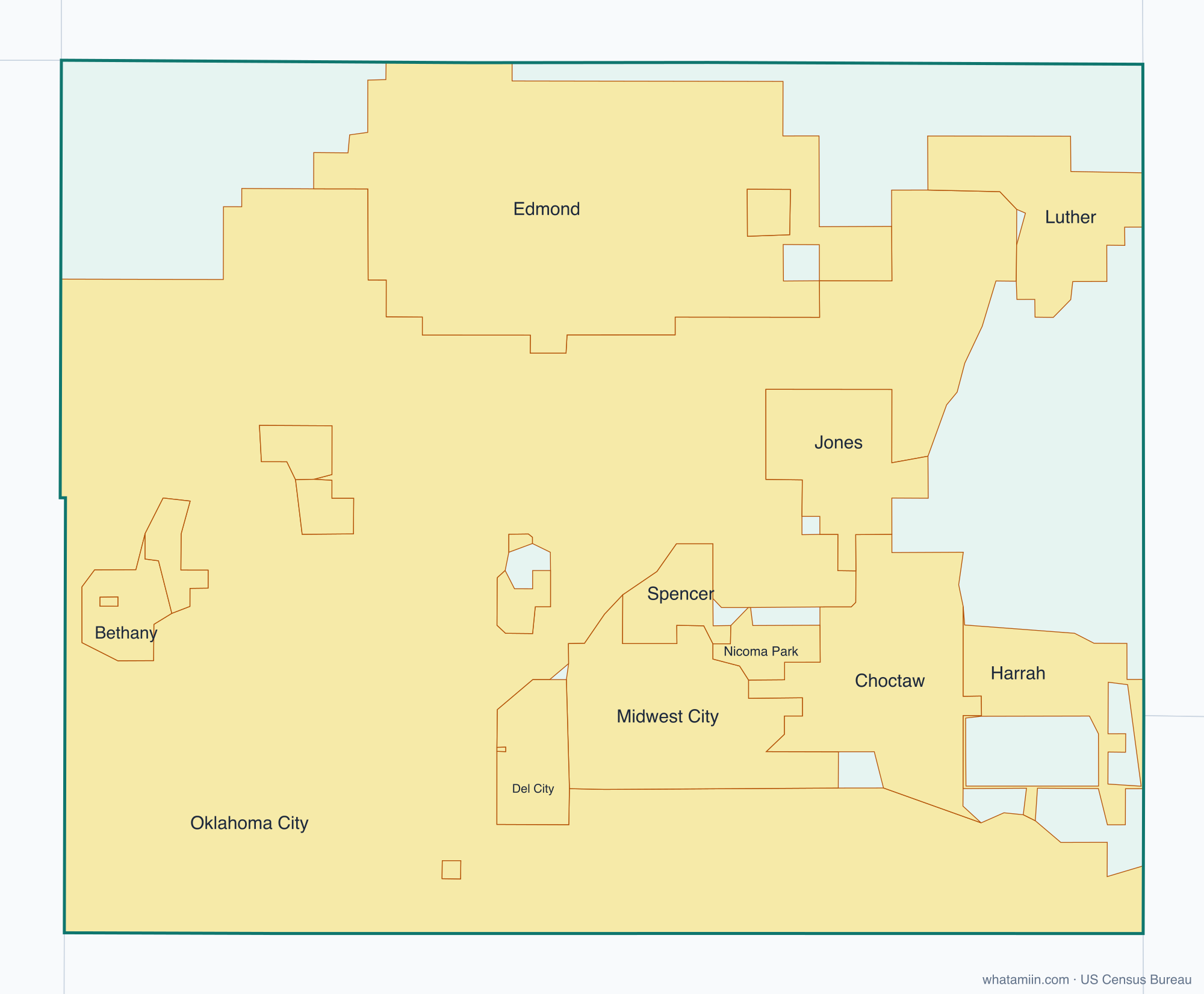
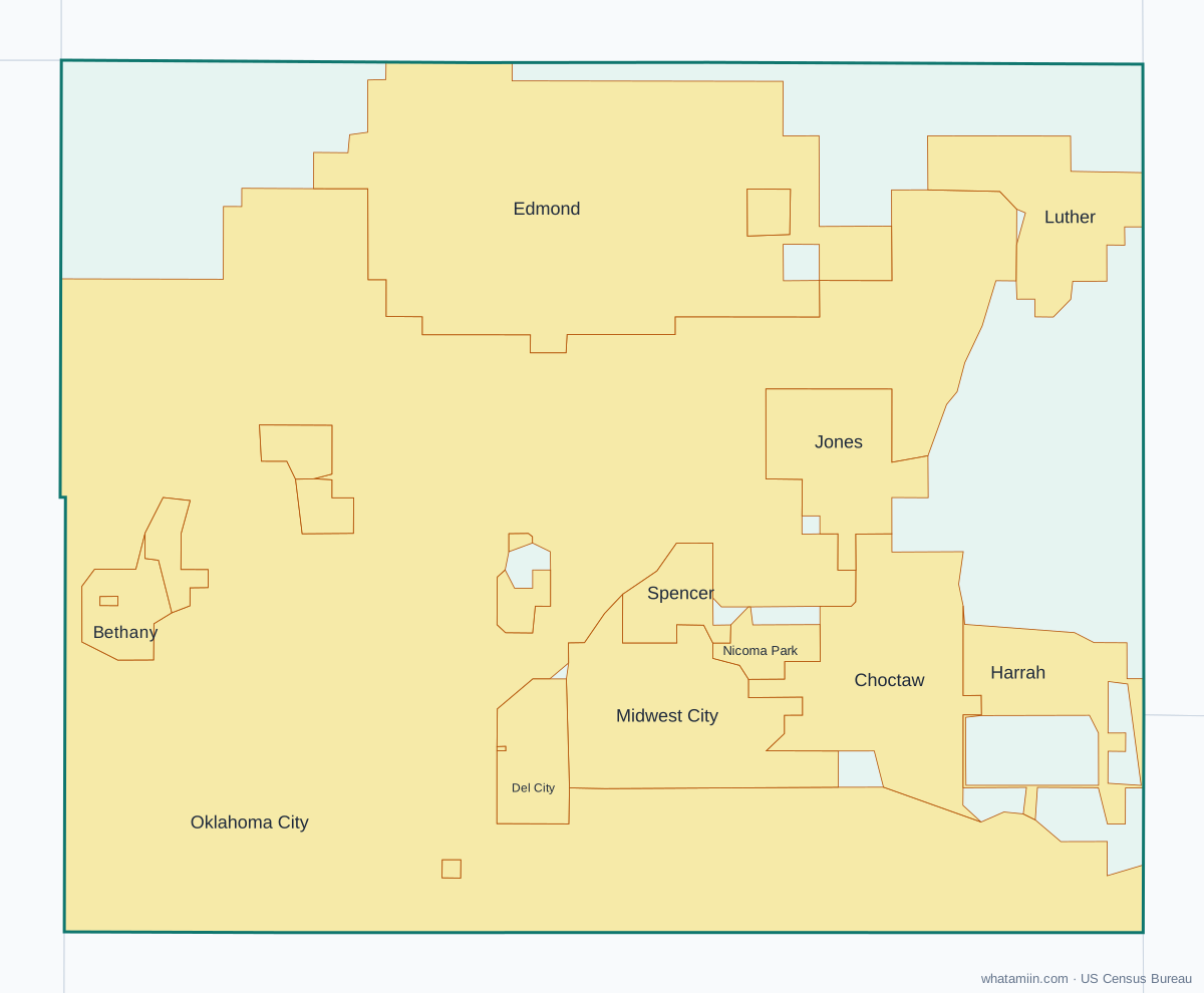
Oklahoma County at a glance
| County seat | Oklahoma City |
|---|---|
| Population (2024) | 816,490 · 1st of 77 in Oklahoma |
| Change since 2020 | +2.5% |
| Land area | 709 sq mi |
| Density | 1,152 people per sq mi |
| Time zone | Central |
| Elevation | 889 ft to 1,342 ft (median 1,168 ft) |
| FIPS code | 40109 |
Cities and towns in Oklahoma County
20 incorporated cities, towns and villages have land in Oklahoma County, led by Oklahoma City with 540,822 residents inside the county. The rest of the county's people live in unincorporated areas, which the county governs directly.
| City or town | Population in county (2024) |
|---|---|
| Oklahoma City | 540,822 |
| Edmond | 99,040 |
| Midwest City | 58,505 |
| Del City | 21,272 |
| Bethany | 20,421 |
| Choctaw | 12,358 |
| Warr Acres | 10,456 |
| The Village | 9,337 |
| Harrah | 6,853 |
| Spencer | 3,883 |
| Nichols Hills | 3,851 |
| Jones | 3,213 |
| Nicoma Park | 2,294 |
| Luther | 1,671 |
| Forest Park | 1,043 |
| Valley Brook | 644 |
| Arcadia | 176 |
| Woodlawn Park | 154 |
| Lake Aluma | 87 |
| Smith Village | 51 |
Townships and county subdivisions
Oklahoma City Northeast CCD, Oklahoma City Northwest CCD, Oklahoma City Southeast CCD, Oklahoma City Southwest CCD
ZIP codes in Oklahoma County
55 ZIP code areas include land in Oklahoma County. 3 of them lie mostly in a neighboring county.
Mostly in Oklahoma County: 73003, 73007, 73008, 73012, 73013, 73020, 73034, 73045, 73049, 73054, 73066, 73084, 73097, 73102, 73103, 73104, 73105, 73106, 73107, 73108, 73109, 73110, 73111, 73112, 73114, 73115, 73116, 73117, 73118, 73119, 73120, 73121, 73122, 73127, 73128, 73129, 73130, 73131, 73132, 73134, 73135, 73139, 73141, 73142, 73145, 73149, 73150, 73151, 73159, 73162, 73169, 73179
Partly in Oklahoma County: 73025, 73078, 74857
Neighboring counties
Canadian County · Cleveland County · Kingfisher County · Lincoln County · Logan County · Pottawatomie County
See every county on the Oklahoma county map or in the list of Oklahoma counties, or find ZIP areas on the Oklahoma ZIP code map. To check which county an exact address is in, use what county am I in.