Multnomah County at a glance
| County seat | Portland |
|---|---|
| Population (2024) | 795,897 · 1st of 36 in Oregon |
| Change since 2020 | -2.4% |
| Land area | 431 sq mi |
| Density | 1,847 people per sq mi |
| Time zone | Pacific |
| Elevation | 0 ft to 4,482 ft (median 449 ft) |
| FIPS code | 41051 |
Cities and towns in Multnomah County
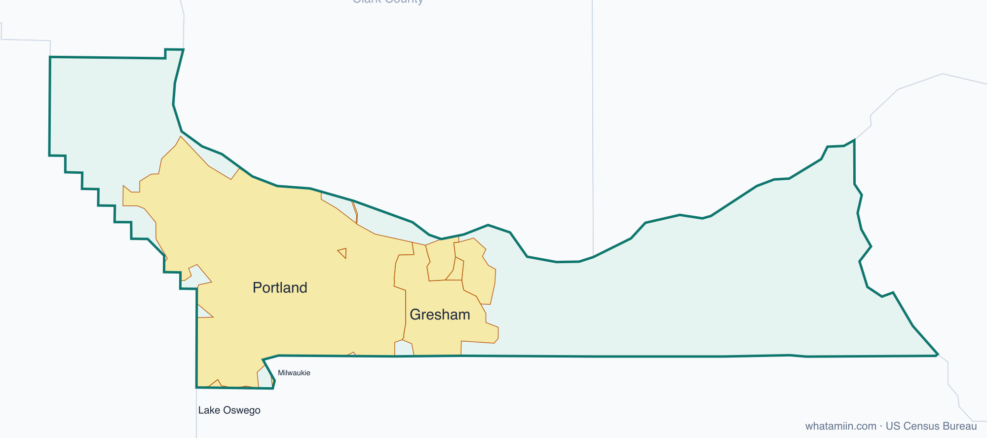
8 incorporated cities, towns and villages have land in Multnomah County, led by Portland with 633,255 residents inside the county. The rest of the county's people live in unincorporated areas, which the county governs directly.
| City or town | Population in county (2024) |
|---|---|
| Portland | 633,255 |
| Gresham | 111,507 |
| Troutdale | 15,749 |
| Fairview | 10,796 |
| Wood Village | 4,722 |
| Lake Oswego | 2,506 |
| Maywood Park | 810 |
| Milwaukie | 0 |
Townships and county subdivisions
Corbett CCD, Gresham CCD, Portland East CCD, Portland West CCD, Skyline CCD
ZIP codes in Multnomah County
44 ZIP code areas include land in Multnomah County. 10 of them lie mostly in a neighboring county.
Mostly in Multnomah County: 97019, 97024, 97030, 97060, 97080, 97201, 97202, 97203, 97204, 97205, 97206, 97208, 97209, 97210, 97211, 97212, 97213, 97214, 97215, 97216, 97217, 97218, 97219, 97220, 97221, 97227, 97230, 97231, 97232, 97233, 97236, 97239, 97258, 97266
Partly in Multnomah County: 97009, 97014, 97034, 97035, 97056, 97124, 97133, 97222, 97225, 97229
Neighboring counties
Clackamas County · Columbia County · Hood River County · Washington County · Clark County, WA · Skamania County, WA
See every county on the Oregon county map or in the list of Oregon counties, or find ZIP areas on the Oregon ZIP code map. To check which county an exact address is in, use what county am I in.