Bakersfield at a glance
| County | Kern County |
|---|---|
| Population (2024) | 417,468 |
| Change since 2020 | +3.2% |
| Land area | 150.3 sq mi (plus 1.5 sq mi water) |
| Density | 2,778 per sq mi |
| Elevation | 322 ft to 1,030 ft, median 374 ft |
| Time zone | Pacific (America/Los_Angeles) |
| Coordinates (center) | 35.3532, -119.0379 |
What county is Bakersfield in?
Bakersfield is in Kern County. County lines matter for property taxes, courts, elections and some services, so check your exact address with what county am I in if you live near a line.
Bakersfield ZIP codes
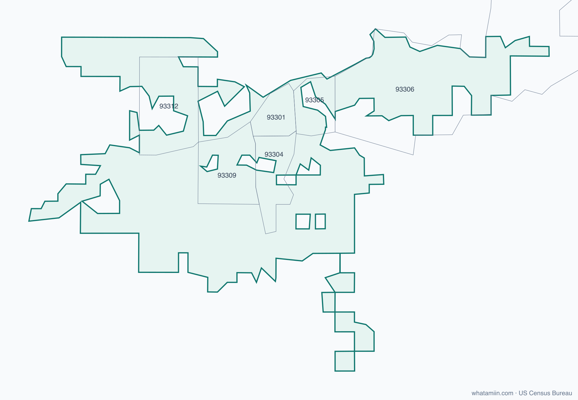
12 ZIP code areas include part of Bakersfield. ZIP codes follow mail routes, not city limits, so some Bakersfield addresses use a ZIP shared with a neighboring town, and some addresses with a Bakersfield mailing address are outside the city.
Mostly inside Bakersfield: 93301, 93304, 93305, 93309, 93312
Partly inside: 93203, 93306, 93307, 93308, 93311, 93313, 93314
Elevation of Bakersfield
Ground elevation across Bakersfield ranges from about 322 ft to 1,030 ft above sea level, with a median of 374 ft (114 m). These values come from 190 terrain samples spread across the city limits. For the elevation of an exact spot, use what is my elevation.
What time zone is Bakersfield in?
Bakersfield is in the Pacific Time Zone (America/Los_Angeles). Standard time is PST (UTC−8); daylight saving time is PDT (UTC−7), from the second Sunday in March to the first Sunday in November. For the zone at an exact address, use what time zone am I in, or see the California time zone page.
More for California: county map · list of counties · ZIP code map
More California city profiles: Anaheim · Chula Vista · Fresno · Irvine · Long Beach · Los Angeles · Oakland · Riverside · Sacramento · San Diego · San Francisco · San Jose · Santa Ana · Stockton