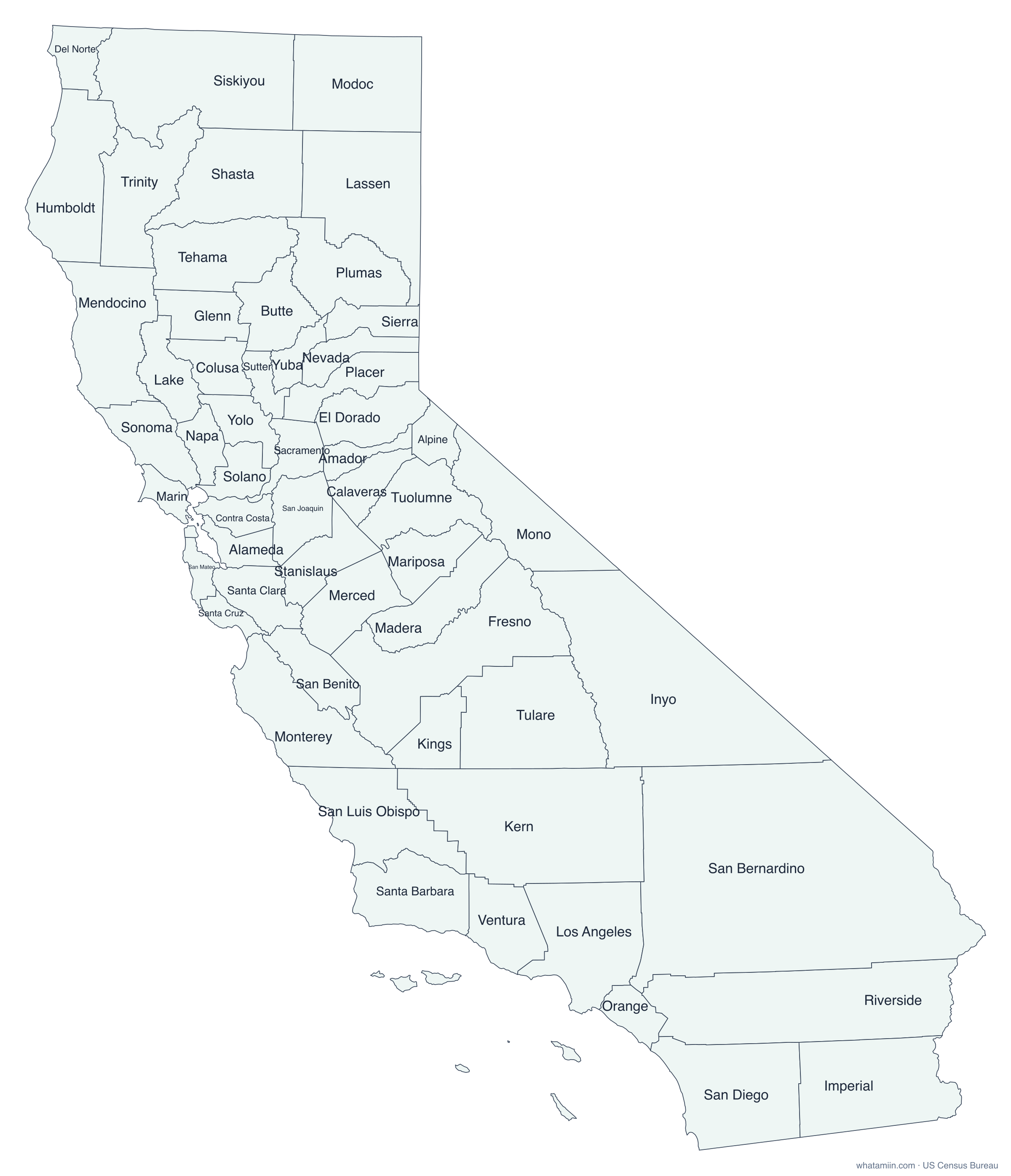
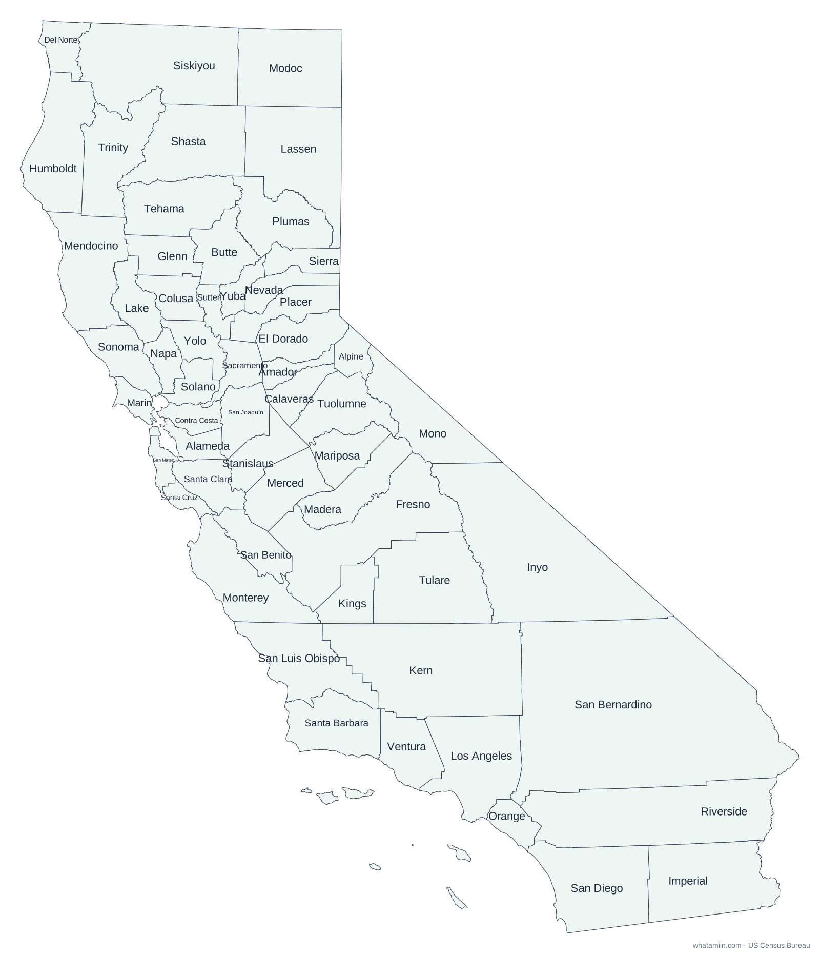
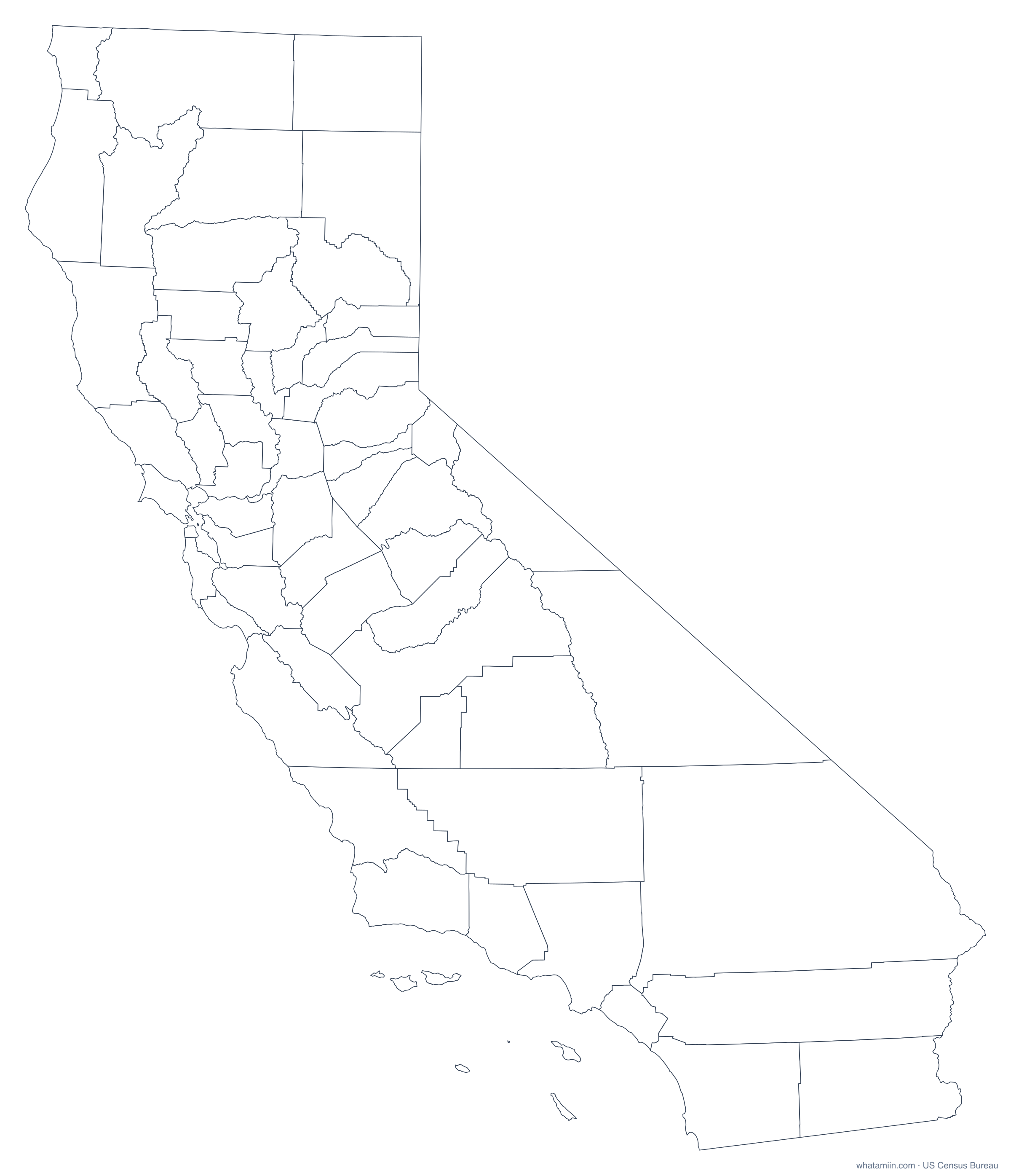
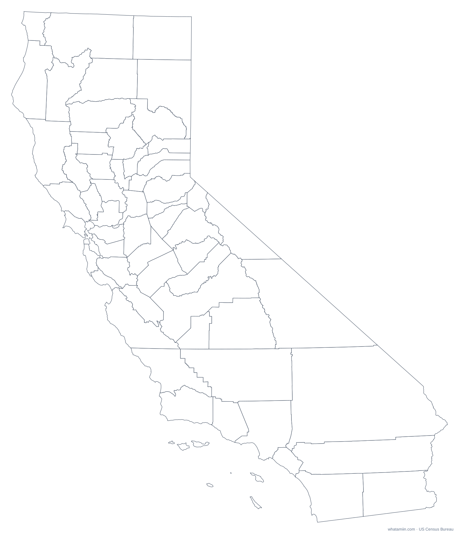
California has 58 counties, ranging from San Bernardino County, the largest county in the contiguous United States, to the City and County of San Francisco, the smallest in the state. San Francisco is a consolidated city-county with a single government and one boundary, which extends into the Pacific to include the Farallon Islands. Many county lines in the Sierra Nevada and the north follow ridges and rivers rather than straight lines.
California counties at a glance
| Number of counties | 58 |
|---|---|
| Most populous | Los Angeles County (9,757,179 people, 2024 estimate) |
| Least populous | Alpine County (1,099) |
| Largest by land area | San Bernardino County (20,068 sq mi) |
| Smallest by land area | San Francisco County (46.7 sq mi) |
| Fastest growing since 2020 | San Benito County (+7.7%) |
The three most populous counties hold 41% of California's 39,431,263 residents, while the median county has about 181,724 people. That spread is why a county map sized by area can look very different from where people actually live.
How this map was made
Boundaries come from the US Census Bureau's 2024 cartographic boundary files (1:500,000 scale), simplified for clear printing. Shapes are drawn in an equal-area projection centered on California, so counties keep their true relative sizes. Population figures are the Census Bureau's July 1, 2024 estimates.
California county profiles
Map, cities and ZIP codes for: Alameda County · Contra Costa County · Fresno County · Kern County · Los Angeles County · Orange County · Riverside County · Sacramento County · San Bernardino County · San Diego County · San Francisco County · San Joaquin County · San Mateo County · Santa Clara County · Ventura County
California city profiles
County, ZIP codes, elevation and time zone for: Anaheim · Bakersfield · Chula Vista · Fresno · Irvine · Long Beach · Los Angeles · Oakland · Riverside · Sacramento · San Diego · San Francisco · San Jose · Santa Ana · Stockton
More for California: list of counties · ZIP code map · time zone
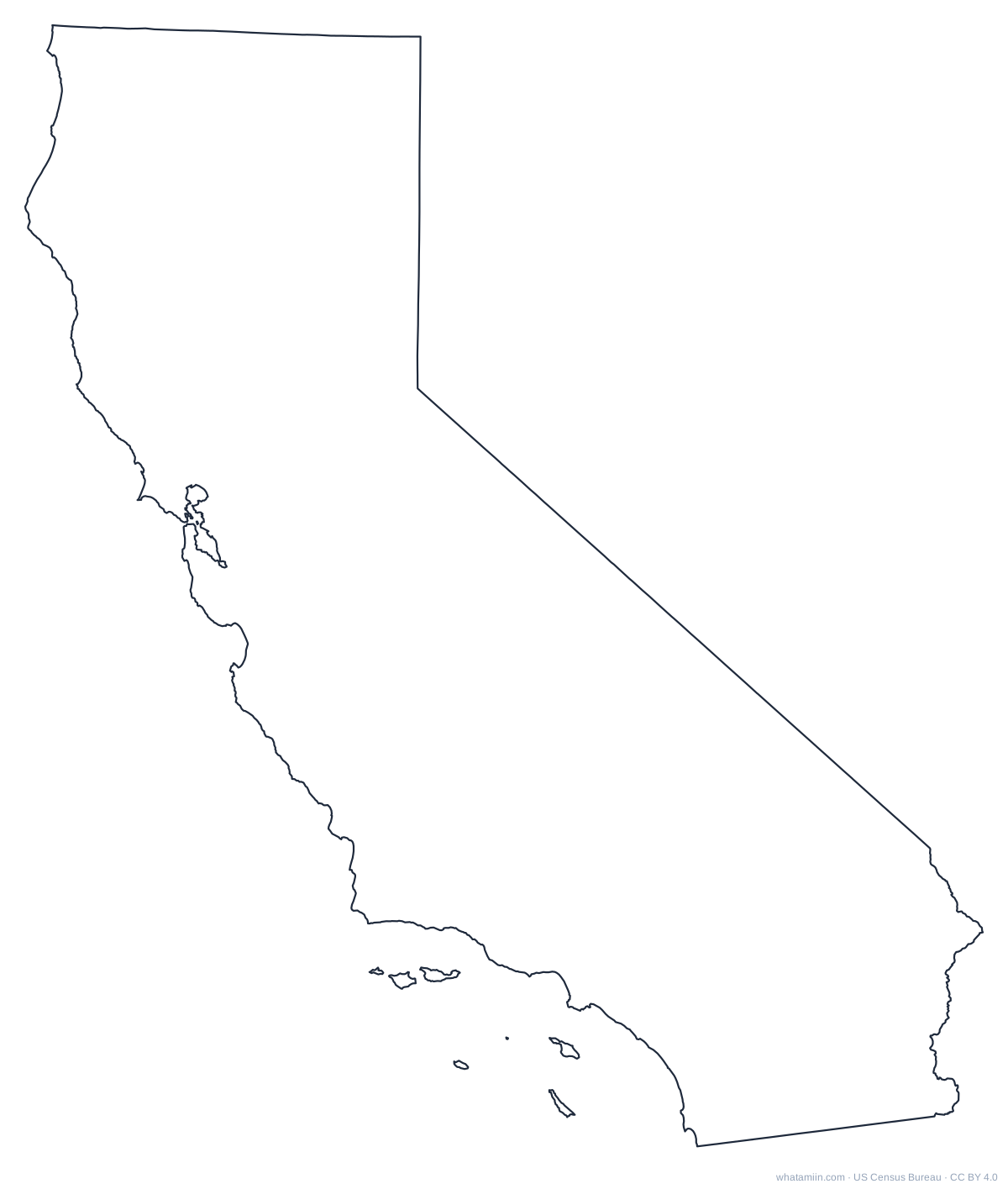
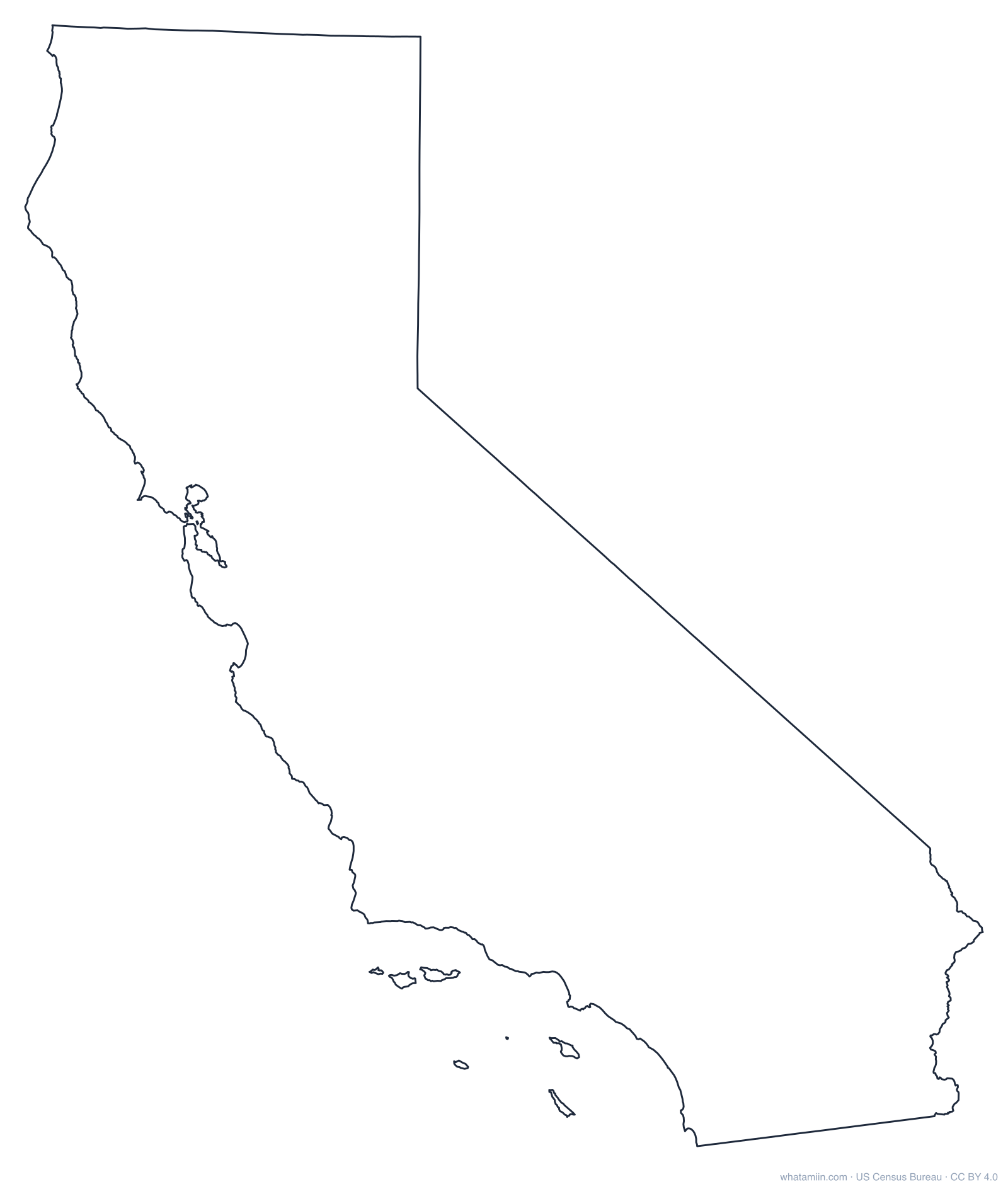
California outline
A blank outline of California with no county lines, for printing, tracing, crafts and cut files. See every state on the state outlines page or the blank US map.