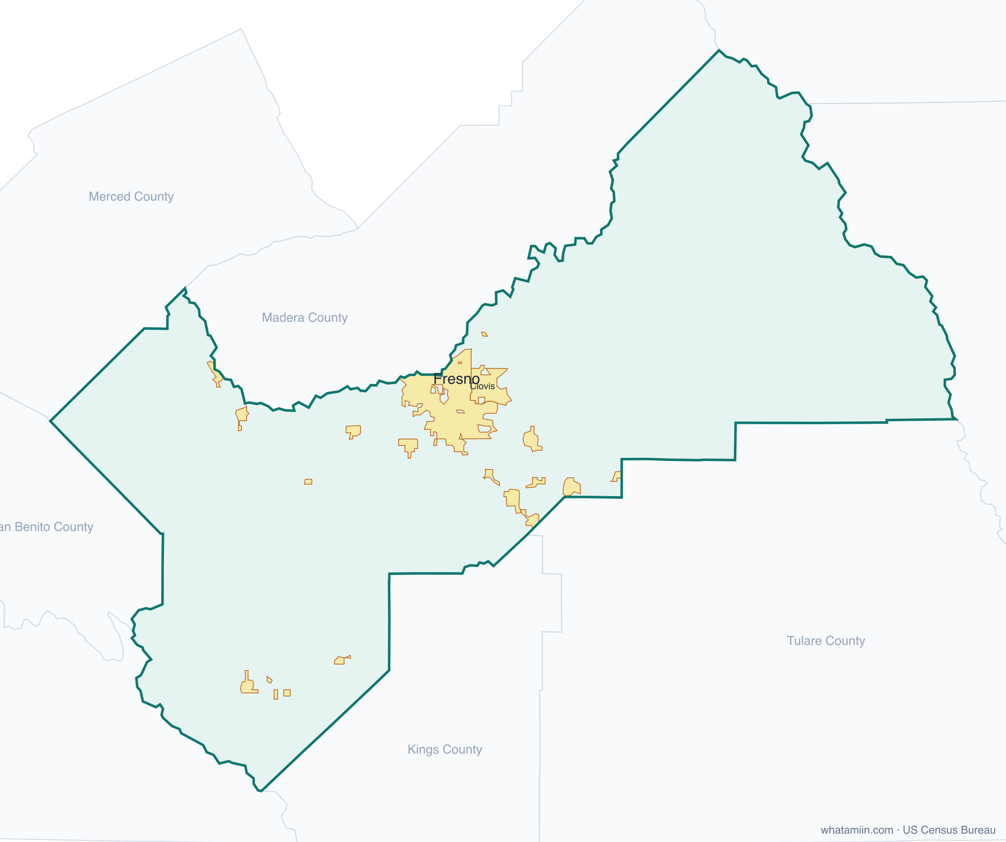
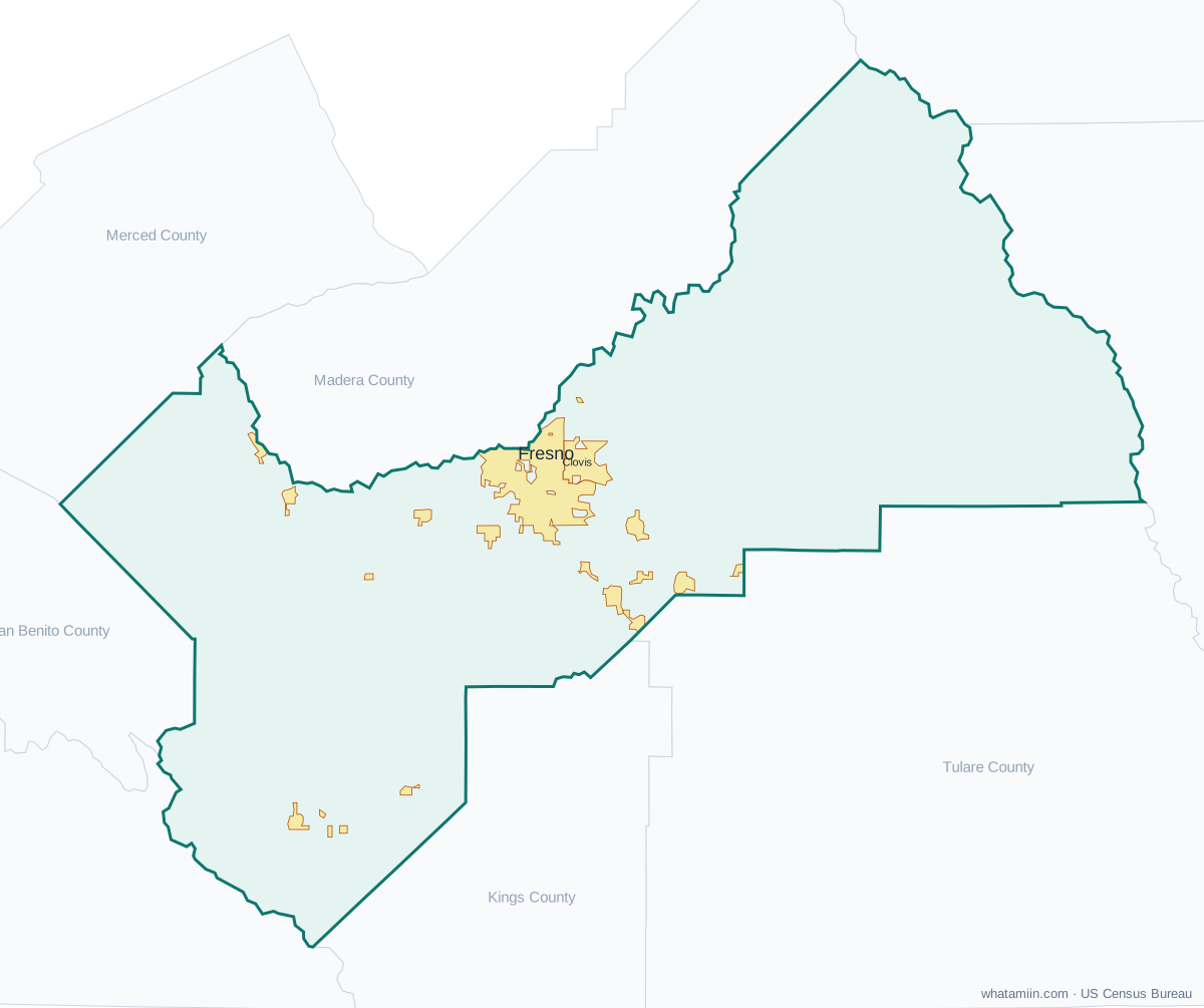
Fresno County at a glance
| County seat | Fresno |
|---|---|
| Population (2024) | 1,024,125 · 10th of 58 in California |
| Change since 2020 | +1.5% |
| Land area | 5,959 sq mi |
| Density | 172 people per sq mi |
| Time zone | Pacific |
| Elevation | 128 ft to 12,044 ft (median 1,250 ft) |
| FIPS code | 06019 |
Cities and towns in Fresno County
15 incorporated cities, towns and villages have land in Fresno County, led by Fresno with 550,105 residents inside the county. The rest of the county's people live in unincorporated areas, which the county governs directly.
| City or town | Population in county (2024) |
|---|---|
| Fresno | 550,105 |
| Clovis | 127,993 |
| Sanger | 26,649 |
| Reedley | 26,138 |
| Selma | 24,505 |
| Kerman | 17,497 |
| Coalinga | 16,722 |
| Parlier | 14,429 |
| Kingsburg | 13,128 |
| Mendota | 12,623 |
| Orange Cove | 9,708 |
| Firebaugh | 8,424 |
| Fowler | 7,470 |
| Huron | 6,737 |
| San Joaquin | 3,679 |
Townships and county subdivisions
Caruthers-Raisin City CCD, Coalinga CCD, Firebaugh CCD, Fowler CCD, Fresno CCD, Huron CCD, Kerman CCD, Kingsburg CCD, Laton CCD, Mendota CCD, Orange Cove CCD, Parlier-Del Rey CCD, Reedley CCD, Riverdale CCD, San Joaquin-Tranquillity CCD, Sanger CCD, Selma CCD, Sierra CCD
ZIP codes in Fresno County
60 ZIP code areas include land in Fresno County. 5 of them lie mostly in a neighboring county.
Mostly in Fresno County: 93210, 93234, 93242, 93602, 93605, 93606, 93608, 93609, 93611, 93612, 93616, 93619, 93621, 93622, 93624, 93625, 93627, 93628, 93630, 93634, 93640, 93641, 93648, 93650, 93651, 93652, 93654, 93656, 93657, 93660, 93662, 93664, 93667, 93668, 93675, 93701, 93702, 93703, 93704, 93705, 93706, 93710, 93711, 93720, 93721, 93722, 93723, 93725, 93726, 93727, 93728, 93730, 93737, 93740, 93741
Partly in Fresno County: 93618, 93620, 93626, 93631, 93646
Neighboring counties
Inyo County · Kings County · Madera County · Merced County · Mono County · Monterey County · San Benito County · Tulare County
See every county on the California county map or in the list of California counties, or find ZIP areas on the California ZIP code map. To check which county an exact address is in, use what county am I in.
More California county profiles: Alameda County · Contra Costa County · Kern County · Los Angeles County · Orange County · Riverside County · Sacramento County · San Bernardino County · San Diego County · San Francisco County · San Joaquin County · San Mateo County · Santa Clara County · Ventura County