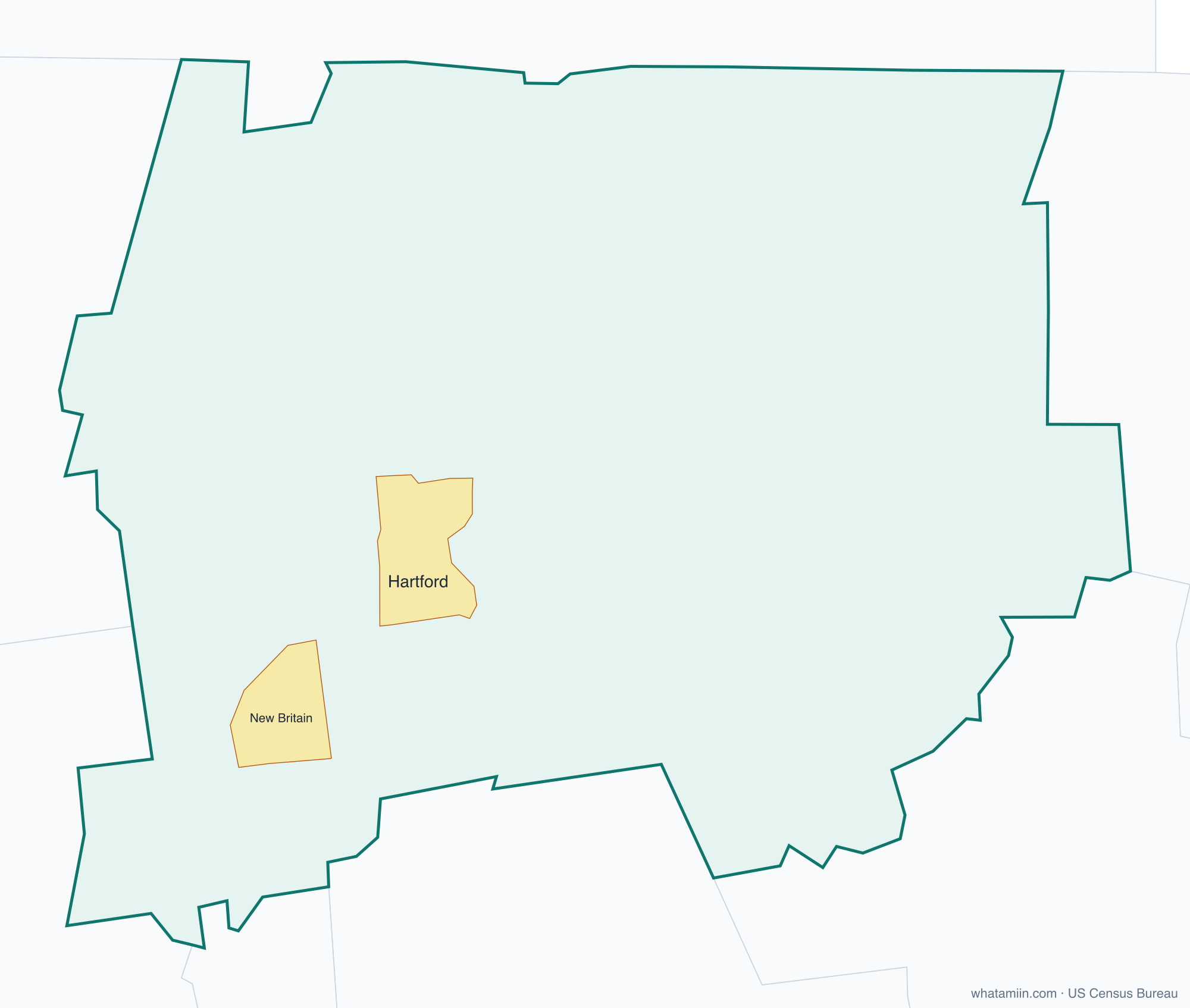
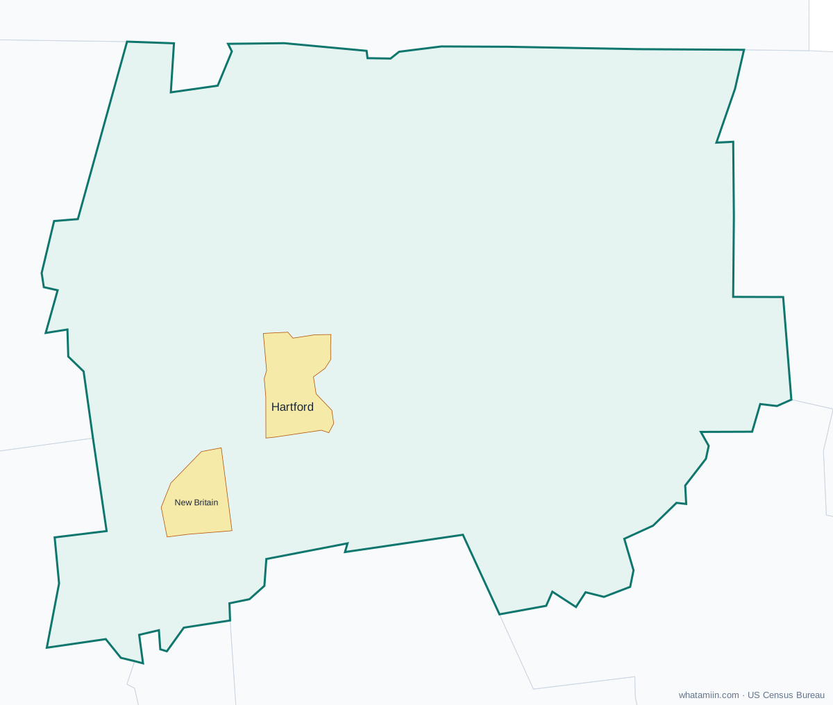
Capitol Planning Region at a glance
| County seat | No county government |
|---|---|
| Population (2024) | 991,508 · 1st of 9 in Connecticut |
| Change since 2020 | +1.4% |
| Land area | 1,027 sq mi |
| Density | 965 people per sq mi |
| Time zone | Eastern |
| Elevation | 23 ft to 1,099 ft (median 315 ft) |
| FIPS code | 09110 |
Cities and towns in Capitol Planning Region
2 incorporated cities, towns and villages have land in Capitol Planning Region, led by Hartford with 122,129 residents inside the county. The rest of the county's people live in unincorporated areas, which the county governs directly.
| City or town | Population in county (2024) |
|---|---|
| Hartford | 122,129 |
| New Britain | 75,871 |
Townships and county subdivisions
Andover town, Avon town, Berlin town, Bloomfield town, Bolton town, Canton town, Columbia town, Coventry town, East Granby town, East Hartford town, East Windsor town, Ellington town, Enfield town, Farmington town, Glastonbury town, Granby town, Hartford town, Hebron town, Manchester town, Mansfield town, Marlborough town, New Britain town, Newington town, Plainville town, Rocky Hill town, Simsbury town, Somers town, South Windsor town, Southington town, Stafford town, Suffield town, Tolland town, Vernon town, West Hartford town, Wethersfield town, Willington town, Windsor Locks town, Windsor town
ZIP codes in Capitol Planning Region
0 ZIP code areas include land in Capitol Planning Region.
Mostly in Capitol Planning Region: —
Neighboring counties
Lower Connecticut River Valley Planning Region · Naugatuck Valley Planning Region · Northeastern Connecticut Planning Region · Northwest Hills Planning Region · South Central Connecticut Planning Region · Southeastern Connecticut Planning Region · Hampden County, MA
See every county on the Connecticut county map or in the list of Connecticut counties, or find ZIP areas on the Connecticut ZIP code map. To check which county an exact address is in, use what county am I in.