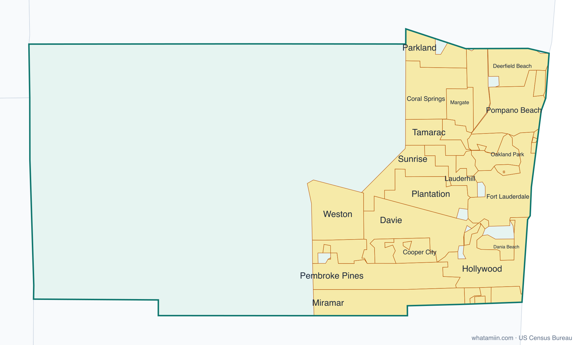
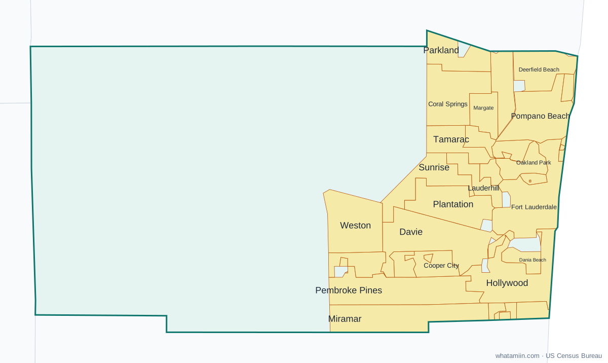
Broward County at a glance
| County seat | Fort Lauderdale |
|---|---|
| Population (2024) | 2,037,472 · 2nd of 67 in Florida |
| Change since 2020 | +4.8% |
| Land area | 1,203 sq mi |
| Density | 1,694 people per sq mi |
| Time zone | Eastern |
| Elevation | 3 ft to 75 ft (median 20 ft) |
| FIPS code | 12011 |
Cities and towns in Broward County
31 incorporated cities, towns and villages have land in Broward County, led by Fort Lauderdale with 190,641 residents inside the county. The rest of the county's people live in unincorporated areas, which the county governs directly.
| City or town | Population in county (2024) |
|---|---|
| Fort Lauderdale | 190,641 |
| Pembroke Pines | 179,326 |
| Hollywood | 159,073 |
| Miramar | 143,242 |
| Coral Springs | 140,808 |
| Pompano Beach | 118,104 |
| Davie | 112,052 |
| Plantation | 100,694 |
| Sunrise | 100,128 |
| Deerfield Beach | 90,507 |
| Lauderhill | 76,627 |
| Tamarac | 75,147 |
| Weston | 70,674 |
| Margate | 60,650 |
| Coconut Creek | 59,721 |
| North Lauderdale | 46,335 |
| Oakland Park | 45,771 |
| Hallandale Beach | 43,043 |
| Parkland | 39,700 |
| Lauderdale Lakes | 37,333 |
| Cooper City | 35,541 |
| Dania Beach | 33,076 |
| West Park | 15,641 |
| Wilton Manors | 11,788 |
| Lighthouse Point | 10,878 |
| Southwest Ranches | 7,827 |
| Pembroke Park | 6,544 |
| Lauderdale-by-the-Sea | 6,365 |
| Hillsboro Beach | 2,043 |
| Sea Ranch Lakes | 575 |
| Lazy Lake | 35 |
Townships and county subdivisions
Conservation CCD, Coral Springs-Margate CCD, Davie CCD, Deerfield Beach CCD, Fort Lauderdale CCD, Hallandale Beach CCD, Hollywood CCD, Miramar-Pembroke Pines CCD, Plantation CCD, Pompano Beach CCD
ZIP codes in Broward County
55 ZIP code areas include land in Broward County.
Mostly in Broward County: 33004, 33009, 33019, 33020, 33021, 33022, 33023, 33024, 33025, 33026, 33027, 33028, 33029, 33060, 33062, 33063, 33064, 33065, 33066, 33067, 33068, 33069, 33071, 33073, 33076, 33301, 33304, 33305, 33306, 33308, 33309, 33311, 33312, 33313, 33314, 33315, 33316, 33317, 33319, 33321, 33322, 33323, 33324, 33325, 33326, 33327, 33328, 33330, 33331, 33332, 33334, 33351, 33388, 33441, 33442
Neighboring counties
Collier County · Hendry County · Miami-Dade County · Palm Beach County
See every county on the Florida county map or in the list of Florida counties, or find ZIP areas on the Florida ZIP code map. To check which county an exact address is in, use what county am I in.
More Florida county profiles: Duval County · Hillsborough County · Lee County · Miami-Dade County · Orange County · Palm Beach County · Pinellas County · Polk County