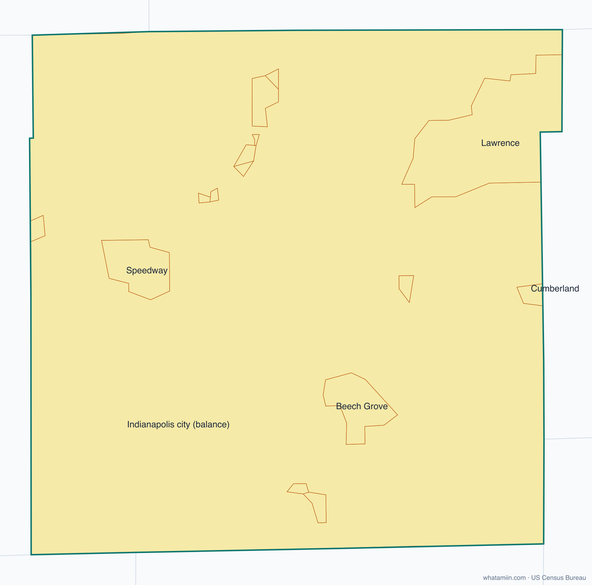
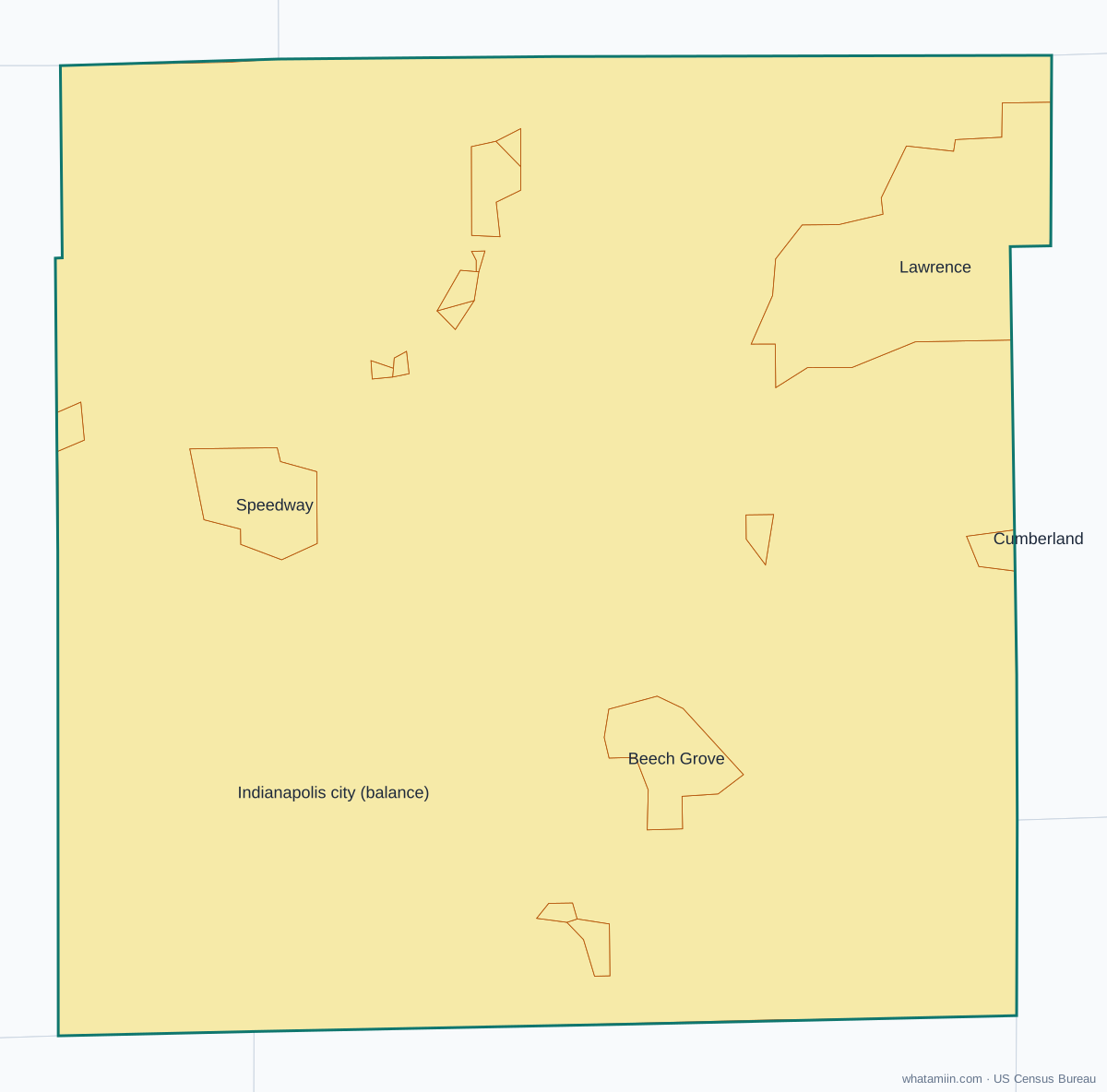
Marion County at a glance
| County seat | Indianapolis |
|---|---|
| Population (2024) | 981,628 · 1st of 92 in Indiana |
| Change since 2020 | +0.5% |
| Land area | 396 sq mi |
| Density | 2,479 people per sq mi |
| Time zone | Eastern |
| Elevation | 653 ft to 902 ft (median 797 ft) |
| FIPS code | 18097 |
Cities and towns in Marion County
16 incorporated cities, towns and villages have land in Marion County, led by Indianapolis city with 891,484 residents inside the county. The rest of the county's people live in unincorporated areas, which the county governs directly.
| City or town | Population in county (2024) |
|---|---|
| Indianapolis city | 891,484 |
| Lawrence | 49,817 |
| Beech Grove | 14,566 |
| Speedway | 14,268 |
| Cumberland | 2,504 |
| Southport | 2,081 |
| Meridian Hills | 1,779 |
| Warren Park | 1,492 |
| Clermont | 1,385 |
| Homecroft | 750 |
| Rocky Ripple | 651 |
| Williams Creek | 429 |
| Wynnedale | 214 |
| Spring Hill | 95 |
| Crows Nest | 69 |
| North Crows Nest | 44 |
Townships and county subdivisions
Center township, Decatur township, Franklin township, Lawrence township, Perry township, Pike township, Warren township, Washington township, Wayne township
ZIP codes in Marion County
41 ZIP code areas include land in Marion County. 5 of them lie mostly in a neighboring county.
Mostly in Marion County: 46107, 46183, 46201, 46202, 46203, 46204, 46205, 46206, 46208, 46214, 46216, 46217, 46218, 46219, 46220, 46221, 46222, 46224, 46225, 46226, 46227, 46228, 46229, 46235, 46236, 46237, 46239, 46240, 46241, 46250, 46254, 46256, 46259, 46260, 46268, 46278
Partly in Marion County: 46077, 46113, 46163, 46231, 46234
Neighboring counties
Boone County · Hamilton County · Hancock County · Hendricks County · Johnson County · Morgan County · Shelby County
See every county on the Indiana county map or in the list of Indiana counties, or find ZIP areas on the Indiana ZIP code map. To check which county an exact address is in, use what county am I in.