The meridian and the date line are not the same line
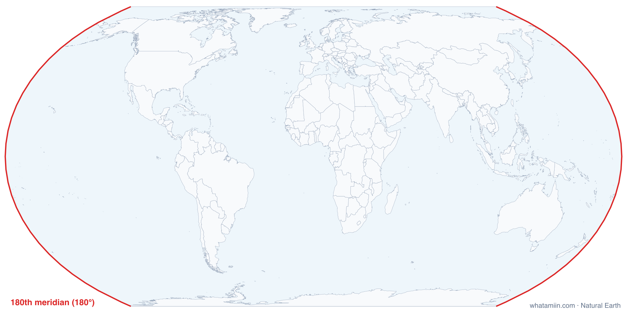
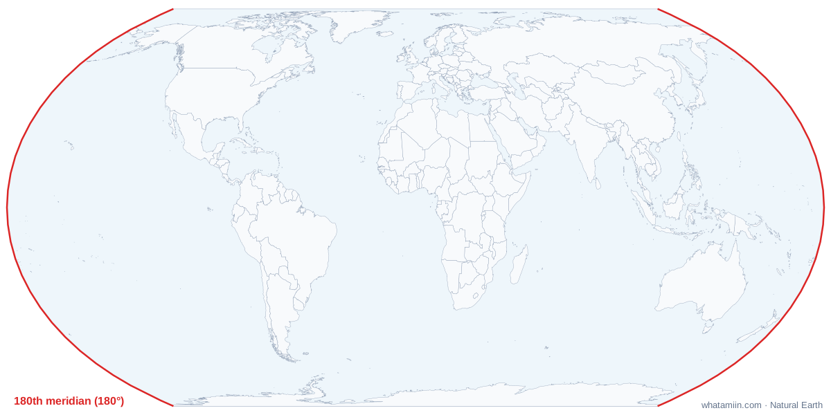
The red line on this map is the 180th meridian, the line of longitude exactly opposite the prime meridian. The table lists the countries that meridian crosses, from north to south, computed from the map data. The International Date Line follows it across most of the Pacific, but not all of it. Where the 180° meridian would split a country, the date line swings around it, sometimes by hundreds of miles. The sections below describe where.
The 180th meridian crosses very little land: Russia's far northeast, a few islands of Fiji, including Taveuni, and Antarctica. It also threads through Alaska's Aleutian chain, which is why Alaska has islands in both the Eastern and Western hemispheres.
A line set by habit, not by treaty
The 1884 conference that chose Greenwich as zero longitude did not create a date line, and no international agreement has defined one since. The date line is simply the boundary between places that use dates ahead of UTC and those that use dates behind it, and each country decides which side it is on. Maps draw the line through the gaps. At sea, ships follow a simpler rule: the nautical date line is the 180° meridian itself.
Where the date line bends
| Area | Which way it bends | Why |
|---|---|---|
| Bering Strait | East of 180° | Keeps all of Russia's Chukotka on the Asian date; the line passes between Russia's Big Diomede and Alaska's Little Diomede islands |
| Aleutian Islands | West of 180° | Keeps the whole Aleutian chain on Alaska's date |
| Kiribati | Far east, toward 150° W | Puts all of Kiribati on one date since January 1, 1995 |
| Samoa and Tokelau | East, around both | Both moved to the west side of the line at the end of 2011 |
| Fiji, Tonga and New Zealand's Chatham Islands | East of 180° | Keeps these islands on the same date as their neighbors to the west |
Kiribati in 1995
Kiribati's islands spread across more than 2,500 miles of ocean on both sides of 180°. Until the end of 1994 the date line ran through the country, so its eastern islands were a day behind the capital, Tarawa, and government offices shared only four working days a week. From January 1, 1995, Kiribati put its eastern islands on the western date, pushing a big bulge into the line. Its Line Islands now use UTC+14, so they are the first inhabited places to start each new day.
Samoa in 2011
Samoa had kept a date matching the Americas since the 1890s. By 2011 its main trading partners were Australia and New Zealand, which were a full working day ahead. Samoa jumped from Thursday, December 29, 2011, straight to Saturday, December 31. American Samoa, a US territory less than 100 miles away, stayed on the eastern side, so the two now show different dates at the same moment.
Three dates at once
Because the earliest time zone is UTC+14 and the latest is UTC−12, the world's clocks span 26 hours. For two hours each day, from 10:00 to 12:00 UTC, three different calendar dates are in use somewhere on Earth. Check your own offset on what time zone am I in.