What the prime meridian is
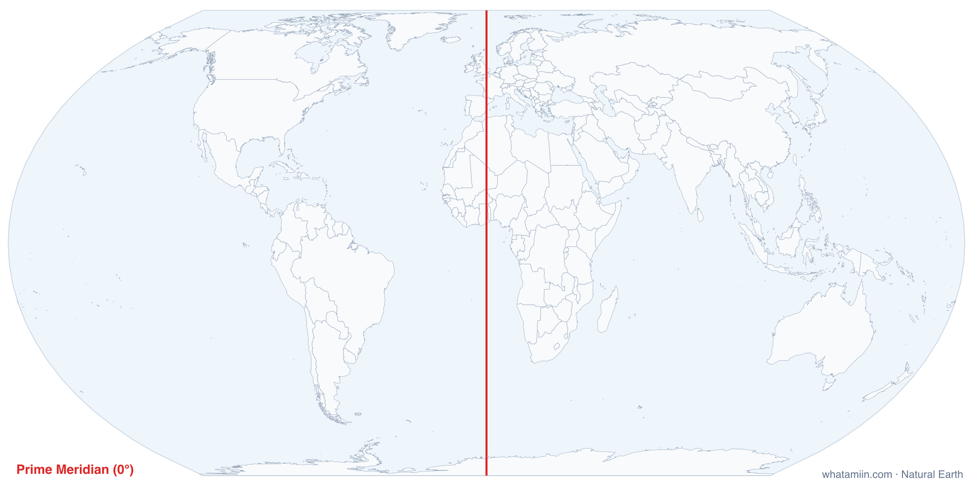
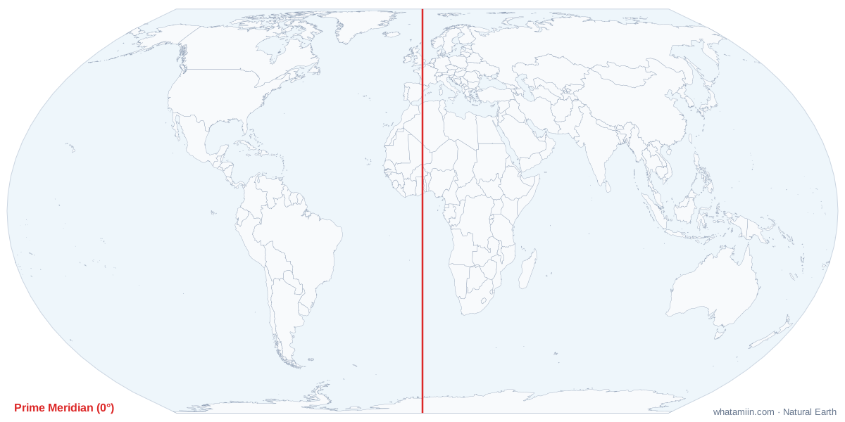
Lines of latitude have a natural starting point, the equator. Lines of longitude do not: any north-south line could serve as zero. The prime meridian is the one the world agreed on. It runs from pole to pole through the Royal Observatory in Greenwich, southeast London, and splits Earth into the Eastern and Western hemispheres. Its continuation on the other side of the globe, 180°, is the basis of the International Date Line.
The 1884 conference
Through the 1800s, countries drew maps from their own zero lines, through Paris, Cadiz, Washington and elsewhere. As railways and telegraphs spread, that became a real nuisance. In October 1884, 25 nations met at the International Meridian Conference in Washington, DC. They voted 22 to 1 to adopt the meridian through the Greenwich transit instrument, with France and Brazil abstaining. Greenwich won largely because most of the world's shipping already used British charts. France kept the Paris meridian on its own maps for decades afterward.
The line you can visit, and the one GPS uses
The historic line is set by the Airy Transit Circle, a telescope installed at the observatory in 1851. A strip in the courtyard marks it, and visitors stand with a foot in each hemisphere. Satellite positioning uses a slightly different zero: the IERS Reference Meridian, which is defined relative to Earth's center of mass rather than the local direction of gravity that the old telescope relied on. At Greenwich it runs about 102 meters east of the brass strip, which is why a phone on the marked line reads a tiny west longitude. The difference is far too small to see on a world map.
Countries on the line
The table lists the countries the meridian crosses from north to south, computed from the map data. After leaving the Arctic Ocean it crosses eastern England, western France and eastern Spain, enters Africa in Algeria, and runs through Mali, Burkina Faso, Togo and Ghana before reaching the Gulf of Guinea. From there it crosses the South Atlantic to Antarctica. Off West Africa it meets the equator at 0°, 0°, a spot of open ocean.
Time and the meridian
Greenwich Mean Time, the mean solar time at the observatory, was the base of the world's time zones for most of the 20th century. It has been replaced by Coordinated Universal Time (UTC), but the zones still count hours from roughly the same line. US Eastern Standard Time, for example, is UTC minus 5 hours. Our US time zone map lists the offset of every US zone.
How far are you from it?
The tool measures your distance to 0° longitude and says whether you are east or west of it. A degree of longitude shrinks as you move away from the equator, from about 69 miles at the equator to about 53 miles at 40° N and zero at the poles, so the same longitude can mean very different distances. Find your coordinates with what are my coordinates.