Wake County at a glance
| County seat | Raleigh |
|---|---|
| Population (2024) | 1,232,444 · 1st of 100 in North Carolina |
| Change since 2020 | +9.1% |
| Land area | 835 sq mi |
| Density | 1,477 people per sq mi |
| Time zone | Eastern |
| Elevation | 180 ft to 512 ft (median 338 ft) |
| FIPS code | 37183 |
Cities and towns in Wake County
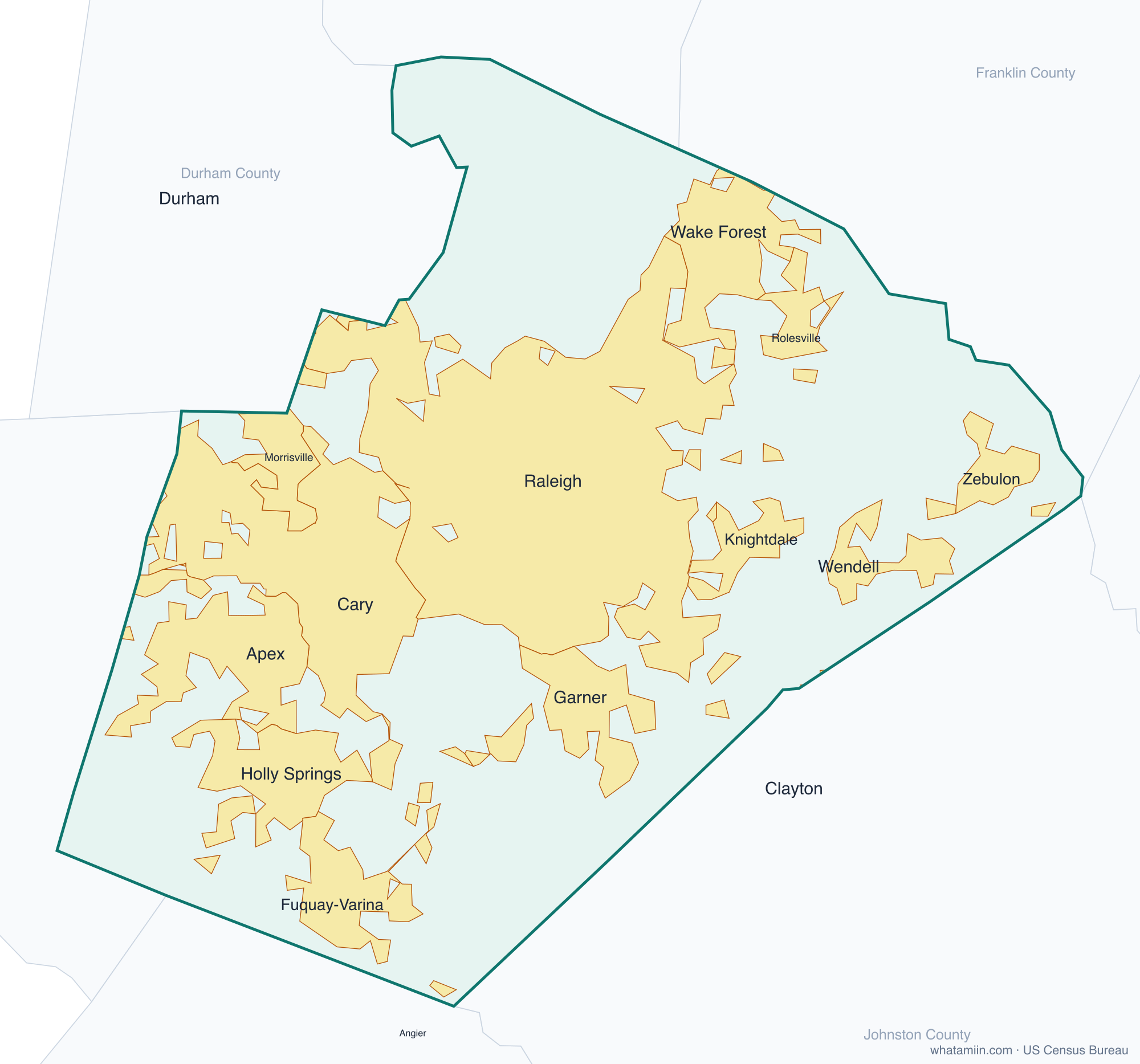
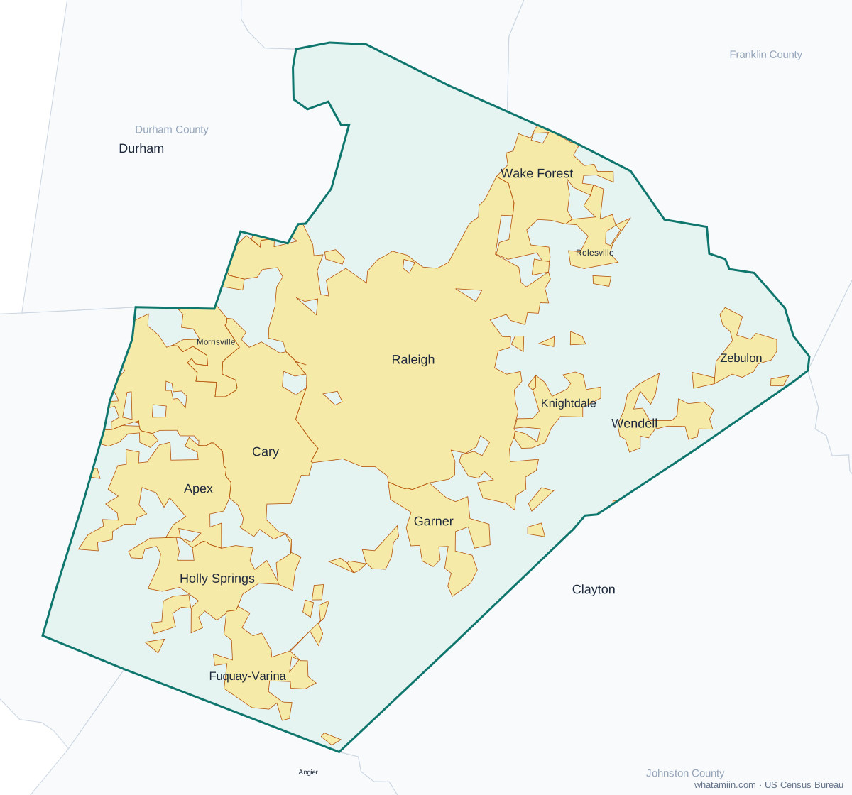
15 incorporated cities, towns and villages have land in Wake County, led by Raleigh with 498,179 residents inside the county. The rest of the county's people live in unincorporated areas, which the county governs directly.
| City or town | Population in county (2024) |
|---|---|
| Raleigh | 498,179 |
| Cary | 178,637 |
| Apex | 75,946 |
| Wake Forest | 54,109 |
| Holly Springs | 48,674 |
| Fuquay-Varina | 46,317 |
| Garner | 39,345 |
| Morrisville | 32,380 |
| Knightdale | 21,829 |
| Wendell | 16,845 |
| Rolesville | 11,854 |
| Zebulon | 10,505 |
| Angier | 1,321 |
| Durham | 293 |
| Clayton | 0 |
Townships and county subdivisions
Bartons Creek township, Buckhorn township, Cary township, Cedar Fork township, Holly Springs township, House Creek township, Leesville township, Little River township, Marks Creek township, Meredith township, Middle Creek township, Neuse township, New Light township, Panther Branch township, Raleigh township, St. Marys township, St. Matthews township, Swift Creek township, Wake Forest township, White Oak township
ZIP codes in Wake County
41 ZIP code areas include land in Wake County. 10 of them lie mostly in a neighboring county.
Mostly in Wake County: 27502, 27511, 27513, 27518, 27519, 27529, 27539, 27540, 27545, 27560, 27571, 27587, 27591, 27592, 27601, 27603, 27604, 27605, 27606, 27607, 27608, 27609, 27610, 27612, 27613, 27614, 27615, 27616, 27617, 27695, 27697
Partly in Wake County: 27501, 27520, 27522, 27523, 27526, 27562, 27596, 27597, 27703, 27713
Neighboring counties
Chatham County · Durham County · Franklin County · Granville County · Harnett County · Johnston County · Nash County
See every county on the North Carolina county map or in the list of North Carolina counties, or find ZIP areas on the North Carolina ZIP code map. To check which county an exact address is in, use what county am I in.
More North Carolina county profiles: Mecklenburg County