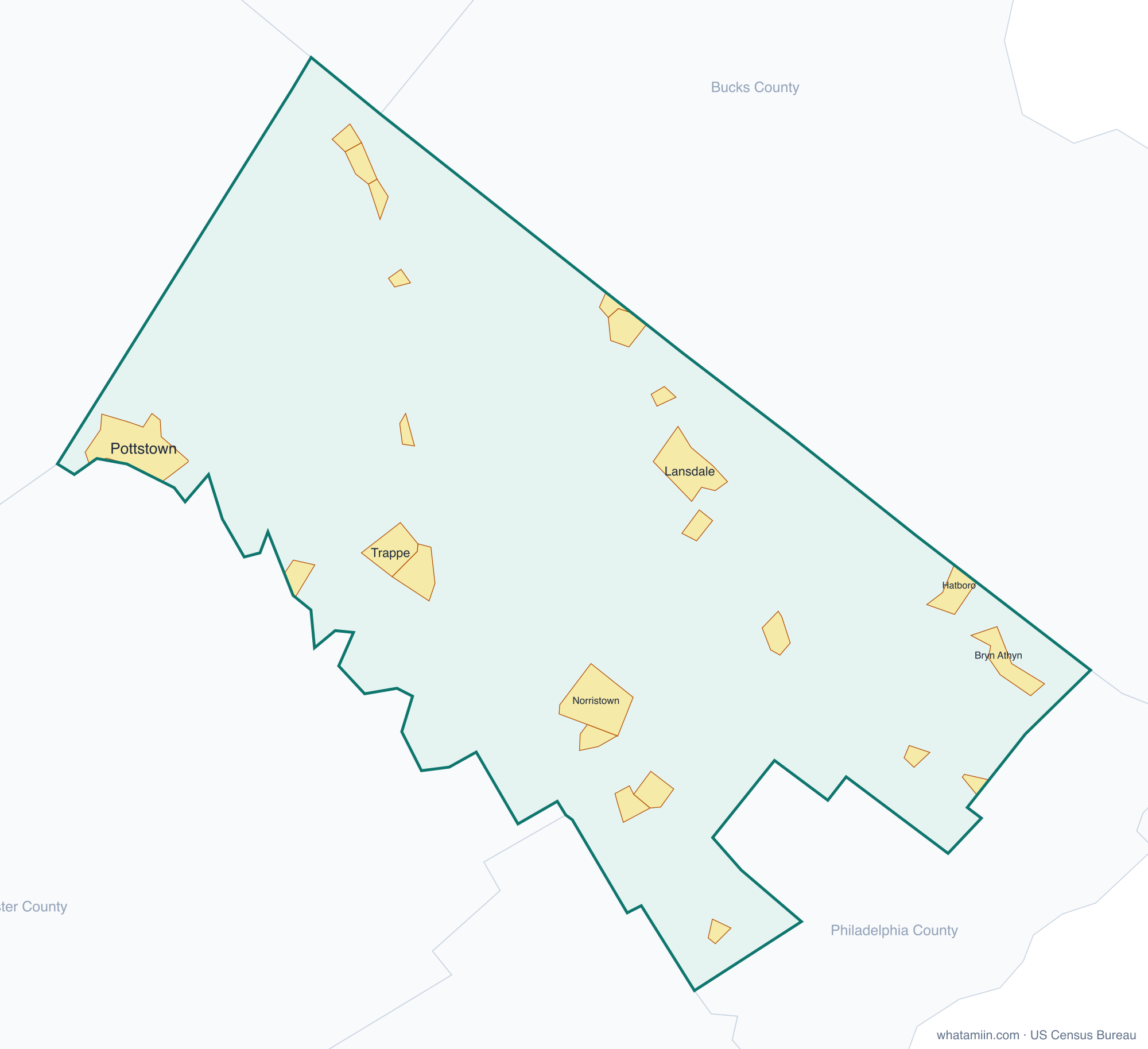
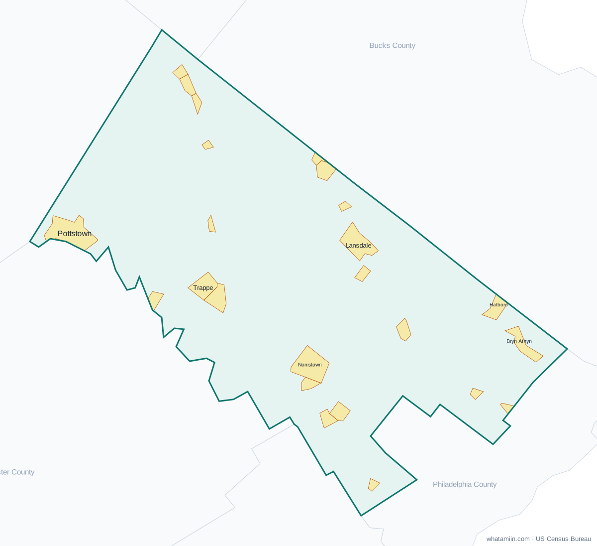
Montgomery County at a glance
| County seat | Norristown |
|---|---|
| Population (2024) | 879,190 · 3rd of 67 in Pennsylvania |
| Change since 2020 | +2.7% |
| Land area | 483 sq mi |
| Density | 1,821 people per sq mi |
| Time zone | Eastern |
| Elevation | 49 ft to 636 ft (median 299 ft) |
| FIPS code | 42091 |
Cities and towns in Montgomery County
24 incorporated cities, towns and villages have land in Montgomery County, led by Norristown with 36,075 residents inside the county. The rest of the county's people live in unincorporated areas, which the county governs directly.
| City or town | Population in county (2024) |
|---|---|
| Norristown | 36,075 |
| Pottstown | 23,553 |
| Lansdale | 19,154 |
| Conshohocken | 9,342 |
| Hatboro | 8,341 |
| Souderton | 7,274 |
| Ambler | 6,900 |
| Bridgeport | 5,401 |
| Collegeville | 5,308 |
| Royersford | 4,958 |
| Jenkintown | 4,740 |
| Narberth | 4,530 |
| Pennsburg | 4,079 |
| Trappe | 4,077 |
| Hatfield | 3,514 |
| North Wales | 3,450 |
| East Greenville | 3,183 |
| Telford | 2,772 |
| Rockledge | 2,641 |
| Red Hill | 2,517 |
| West Conshohocken | 1,508 |
| Bryn Athyn | 1,314 |
| Schwenksville | 1,297 |
| Green Lane | 487 |
Townships and county subdivisions
Abington township, Ambler borough, Bridgeport borough, Bryn Athyn borough, Cheltenham township, Collegeville borough, Conshohocken borough, Douglass township, East Greenville borough, East Norriton township, Franconia township, Green Lane borough, Hatboro borough, Hatfield borough, Hatfield township, Horsham township, Jenkintown borough, Lansdale borough, Limerick township, Lower Frederick township, Lower Gwynedd township, Lower Merion township, Lower Moreland township, Lower Pottsgrove township, Lower Providence township, Lower Salford township, Marlborough township, Montgomery township, Narberth borough, New Hanover township, Norristown borough, North Wales borough, Pennsburg borough, Perkiomen township, Plymouth township, Pottstown borough, Red Hill borough, Rockledge borough, Royersford borough, Salford township, Schwenksville borough, Skippack township, Souderton borough, Springfield township, Telford borough, Towamencin township, Trappe borough, Upper Dublin township, Upper Frederick township, Upper Gwynedd township, Upper Hanover township, Upper Merion township, Upper Moreland township, Upper Pottsgrove township, Upper Providence township, Upper Salford township, West Conshohocken borough, West Norriton township, West Pottsgrove township, Whitemarsh township, Whitpain township, Worcester township
ZIP codes in Montgomery County
71 ZIP code areas include land in Montgomery County. 13 of them lie mostly in a neighboring county.
Mostly in Montgomery County: 18041, 18054, 18070, 18073, 18074, 18076, 18915, 18936, 18964, 18969, 19001, 19002, 19004, 19006, 19009, 19012, 19025, 19027, 19031, 19034, 19035, 19038, 19040, 19044, 19046, 19066, 19072, 19075, 19090, 19095, 19096, 19401, 19403, 19405, 19406, 19422, 19426, 19428, 19435, 19436, 19437, 19438, 19440, 19444, 19446, 19453, 19454, 19456, 19462, 19464, 19468, 19472, 19473, 19474, 19477, 19490, 19492, 19525
Partly in Montgomery County: 18914, 19003, 19010, 19041, 19083, 19085, 19087, 19118, 19128, 19460, 19504, 19505, 19512
Neighboring counties
Berks County · Bucks County · Chester County · Delaware County · Lehigh County · Philadelphia County
See every county on the Pennsylvania county map or in the list of Pennsylvania counties, or find ZIP areas on the Pennsylvania ZIP code map. To check which county an exact address is in, use what county am I in.
More Pennsylvania county profiles: Allegheny County · Philadelphia County