Home › County maps › South Dakota county map

Printable map · free to reuse

South Dakota County Map

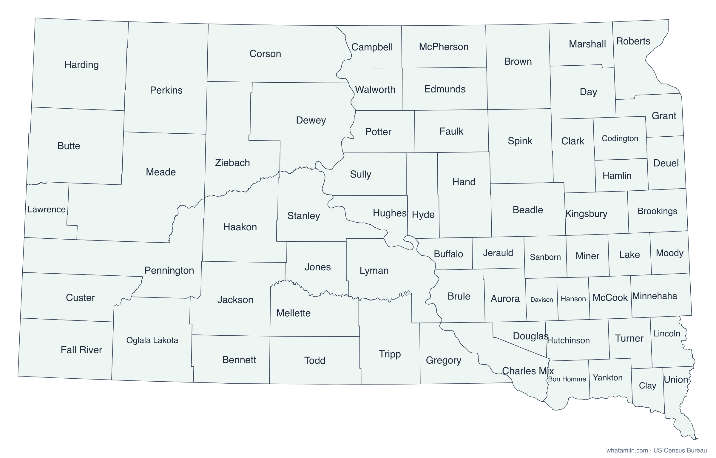
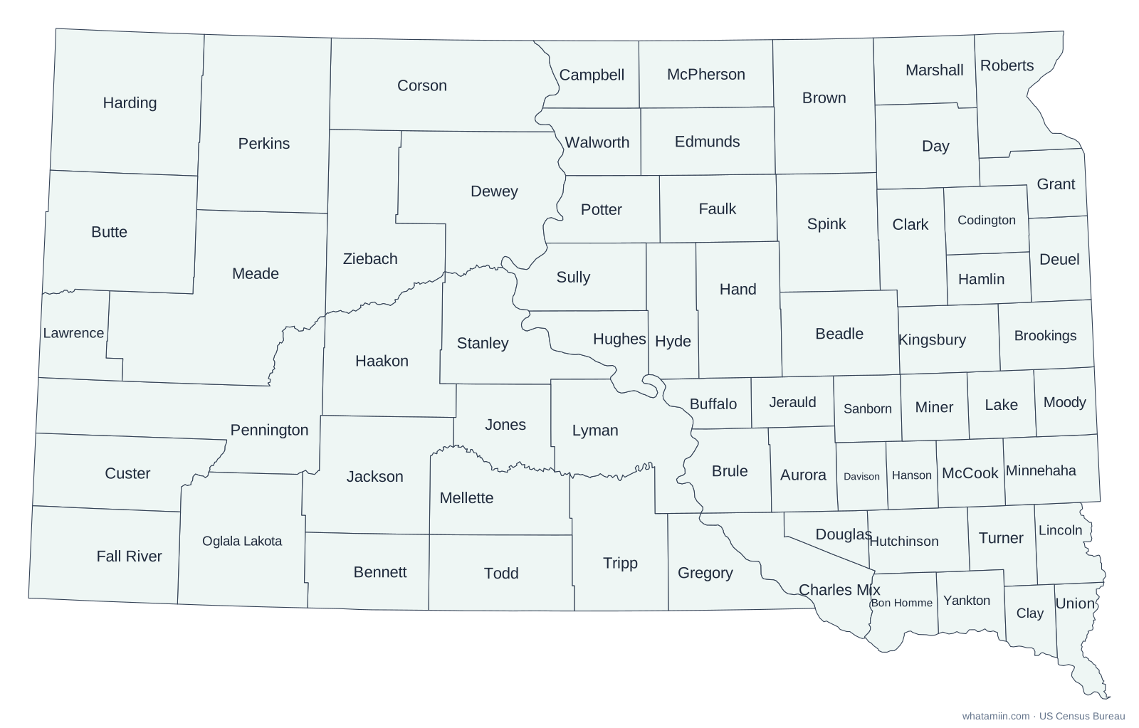
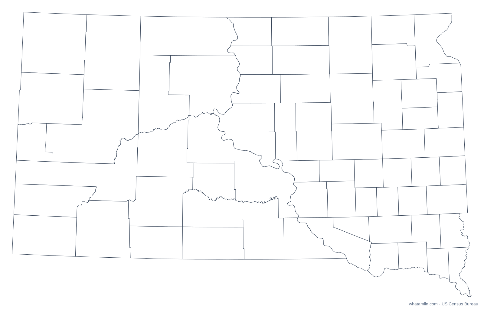
All 66 counties in South Dakota. Free to print and reuse with credit.

Map of South Dakota showing all 66 counties with names
Labeled South Dakota county map. Very small counties are unlabeled at this scale; every name is in the list of South Dakota counties.

Download the South Dakota county map

PNG is 2,400 px wide for printing. SVG scales without blurring and opens in Illustrator, Inkscape or Google Slides. Free to use for any purpose with the credit "whatamiin.com, US Census Bureau data".

Find the county for an address in South Dakota

Your location stays in your browser. Typed addresses are matched by the US Census Geocoder.

South Dakota has 66 counties, divided by the Missouri River into the farming East River and the ranching West River. Meade County, north of the Black Hills, is the largest by area. Oglala Lakota County, which lies within the Pine Ridge Reservation, was named Shannon County until 2015. It and Todd County, on the neighboring Rosebud Reservation, rely on adjoining counties for some county administration.

South Dakota counties at a glance

Number of counties66
Most populousMinnehaha County (208,639 people, 2024 estimate)
Least populousJones County (874)
Largest by land areaMeade County (3,471 sq mi)
Smallest by land areaClay County (412.0 sq mi)
Fastest growing since 2020Lincoln County (+15.5%)

The three most populous counties hold 43% of South Dakota's 924,669 residents, while the median county has about 5,270 people. That spread is why a county map sized by area can look very different from where people actually live.

How this map was made

Boundaries come from the US Census Bureau's 2024 cartographic boundary files (1:500,000 scale), simplified for clear printing. Shapes are drawn in an equal-area projection centered on South Dakota, so counties keep their true relative sizes. Population figures are the Census Bureau's July 1, 2024 estimates.

More for South Dakota: list of counties · ZIP code map · time zone map

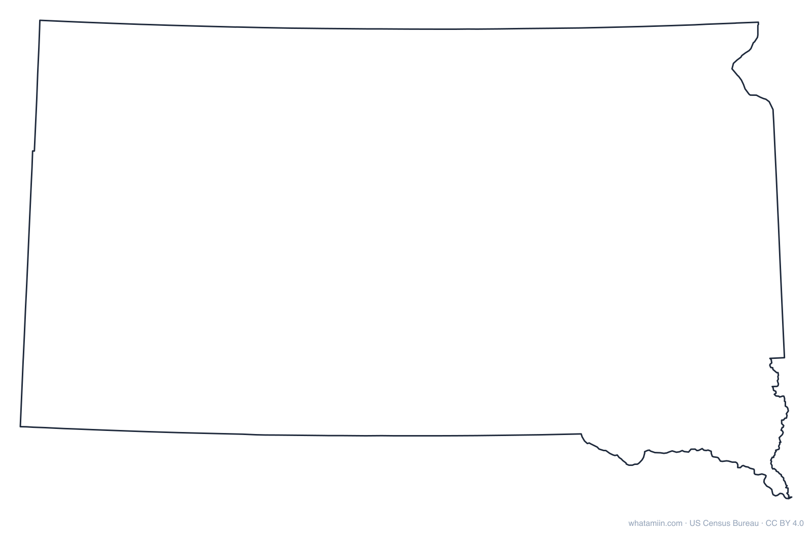
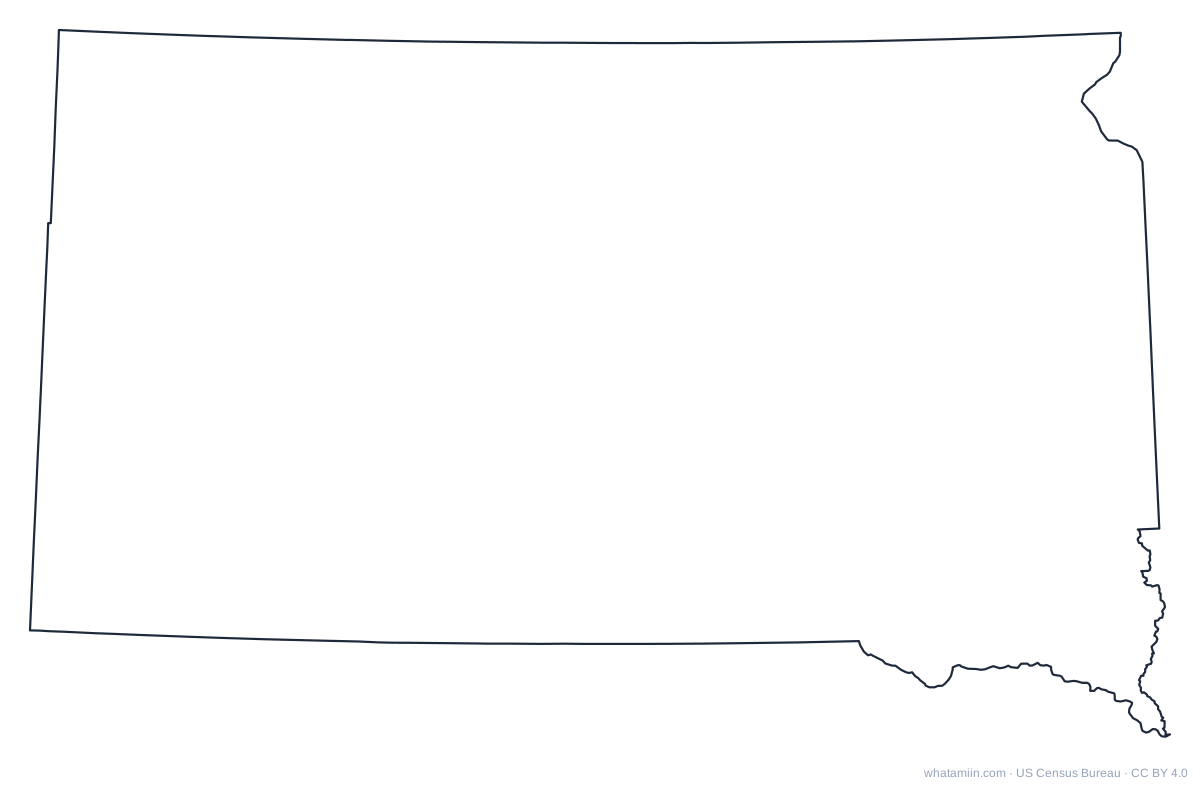
South Dakota outline

A blank outline of South Dakota with no county lines, for printing, tracing, crafts and cut files. See every state on the state outlines page or the blank US map.
Outline of South Dakota

South Dakota outline: PNGSVGPDF

Neighboring states

Iowa county map · Minnesota county map · Montana county map · Nebraska county map · North Dakota county map · Wyoming county map

List of South Dakota counties with population and seats

Questions

How many counties are in South Dakota?

South Dakota has 66 counties (Census Bureau count of counties and county-equivalents, 2024). The most populous is Minnehaha County and the largest by land area is Meade County.

What is the largest county in South Dakota?

By land area, Meade County is the largest at about 3,471 square miles. By population, Minnehaha County is the largest with 208,639 residents (2024 estimate).

Can I print this South Dakota county map?

Yes. Download the PNG (2,400 px wide) or the PDF for printing. The PDF and SVG are vector files, so they stay sharp at any size.

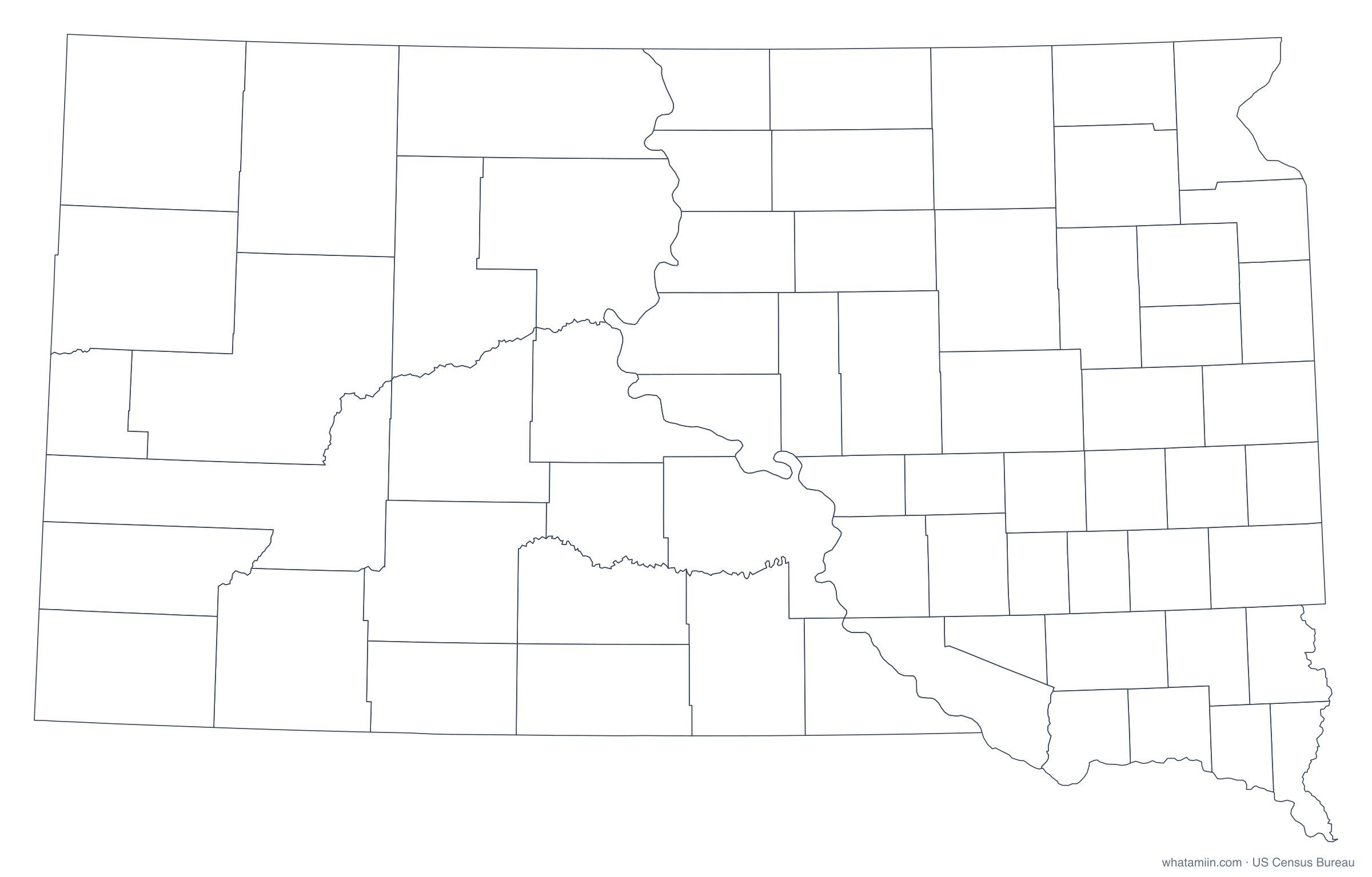
Is there a blank South Dakota county map?

Yes. The blank version has borders but no names, which suits quizzes, coloring and your own labels. It comes in PNG, SVG and PDF.

Can I use this map in a report or website?

Yes, free for any use, including commercial. Please credit "whatamiin.com, US Census Bureau data".

How do I find which county an address is in?

Type the address in the box on this page. It returns the county, city, ZIP code and more, using Census boundaries. For a list of addresses, use the batch address-to-county tool.

Data: US Census Bureau cartographic boundary files 2024; population estimates (Vintage 2024). Sources