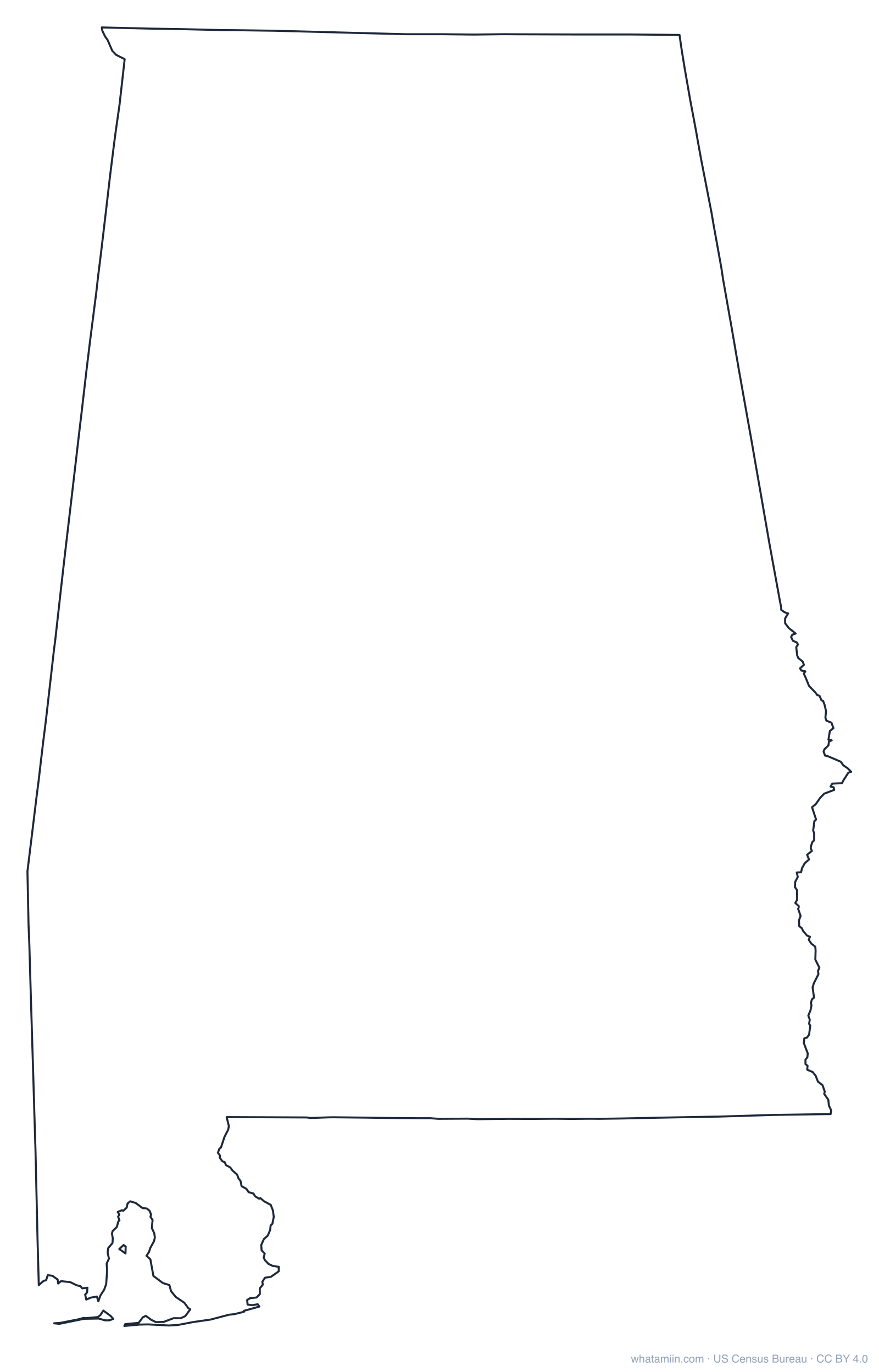
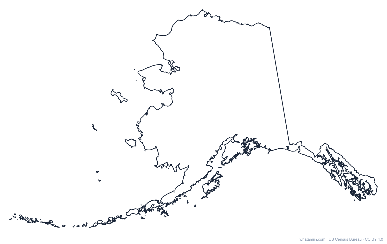
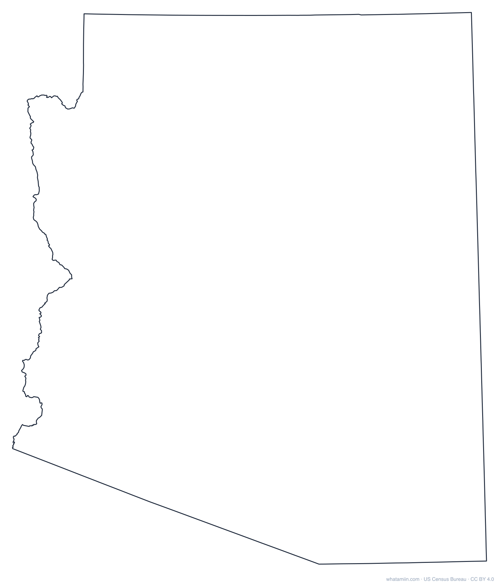
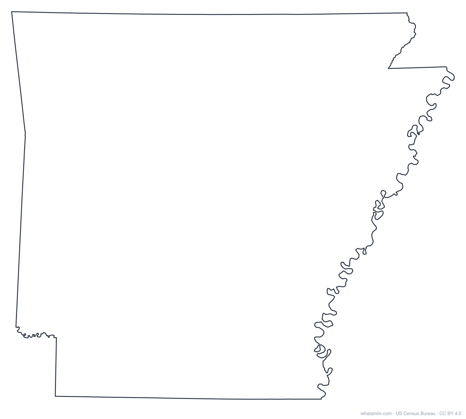
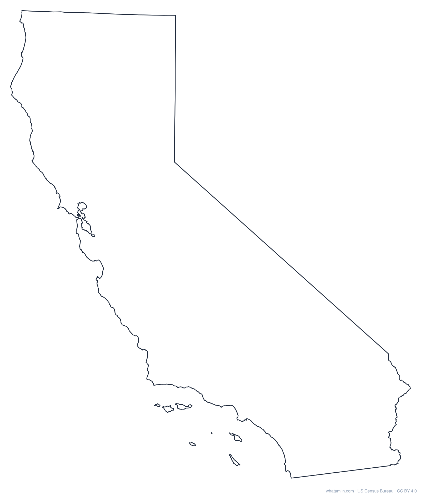
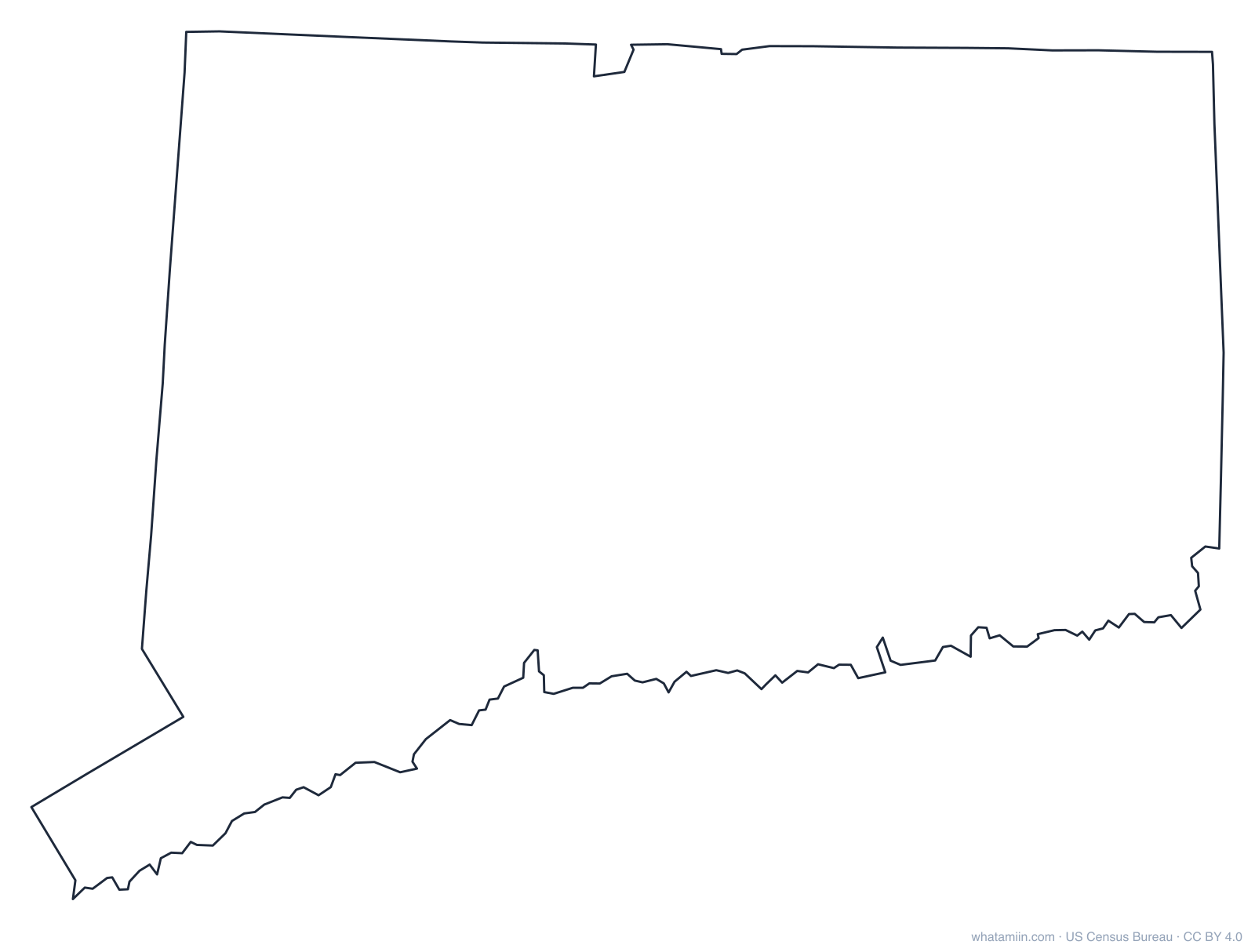
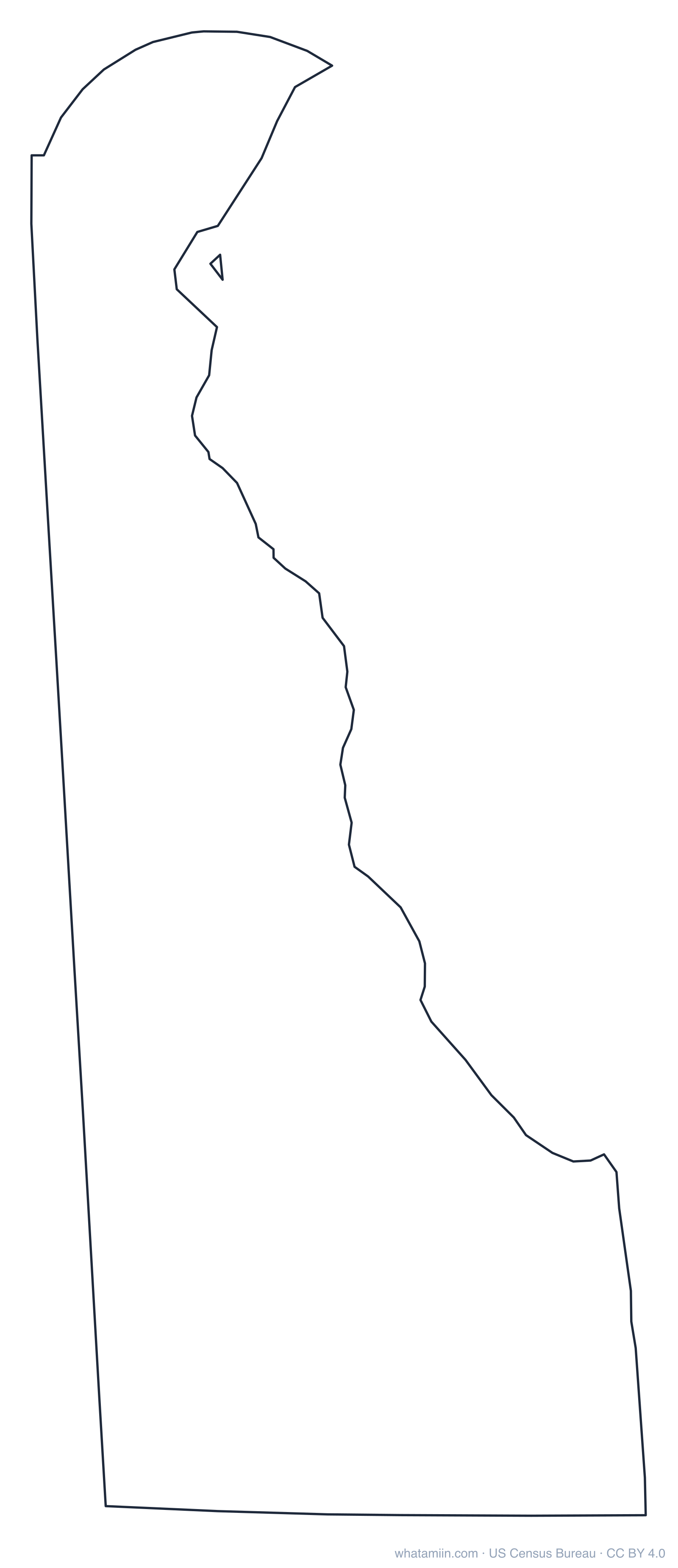
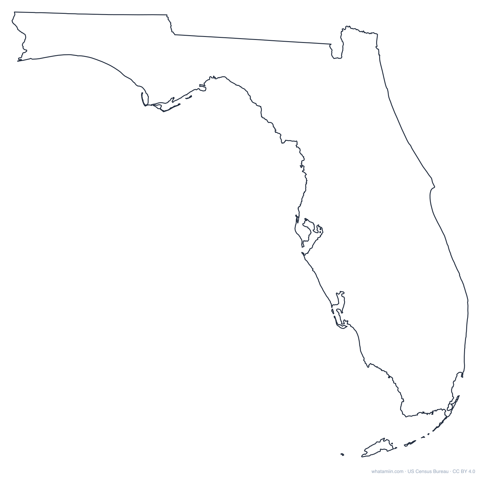
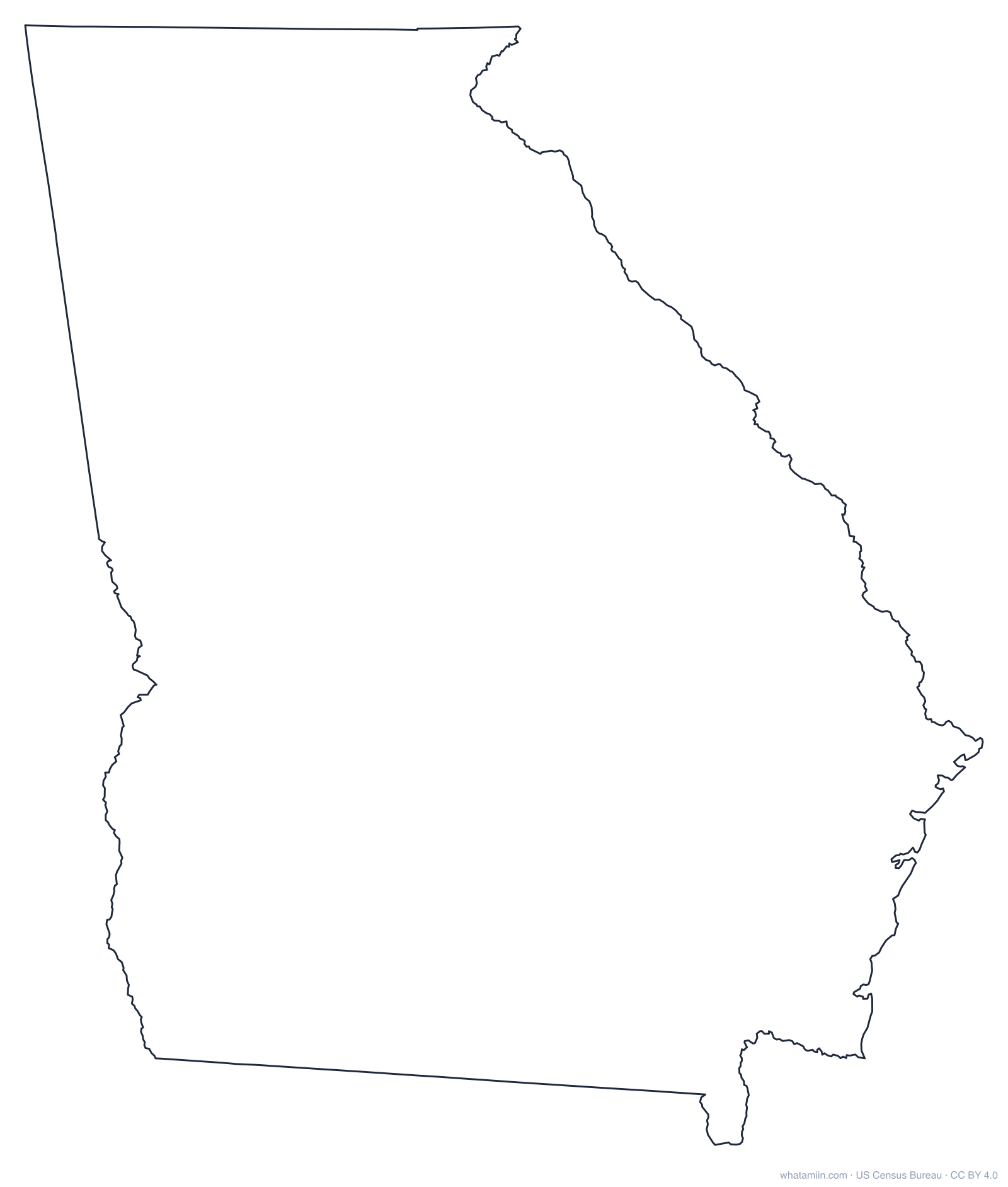
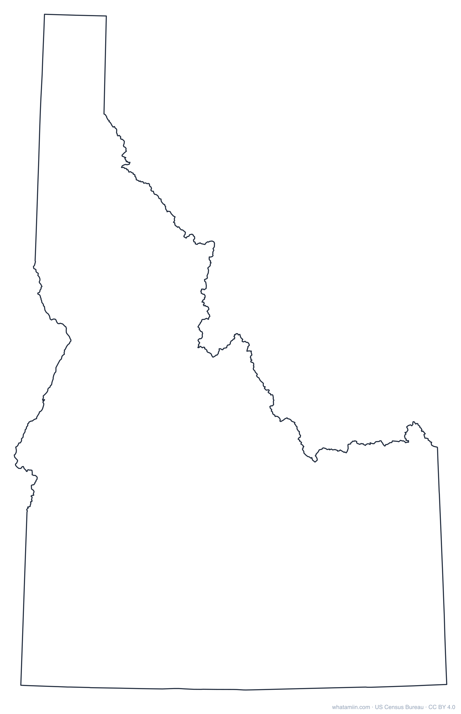
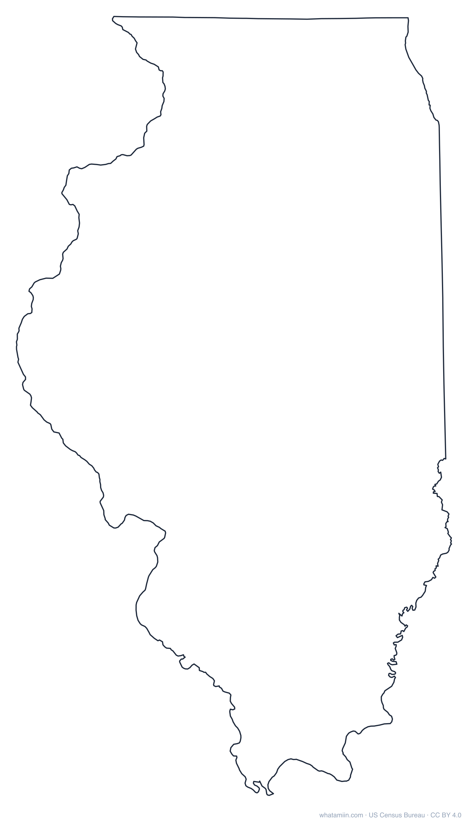
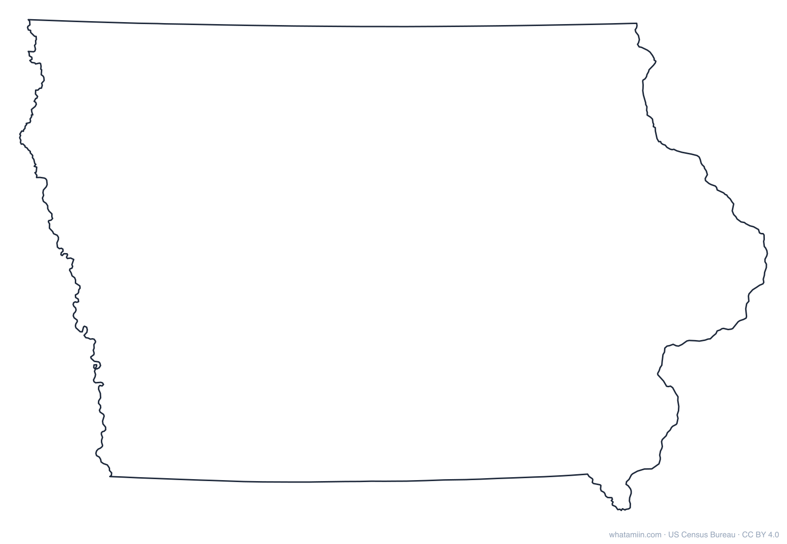
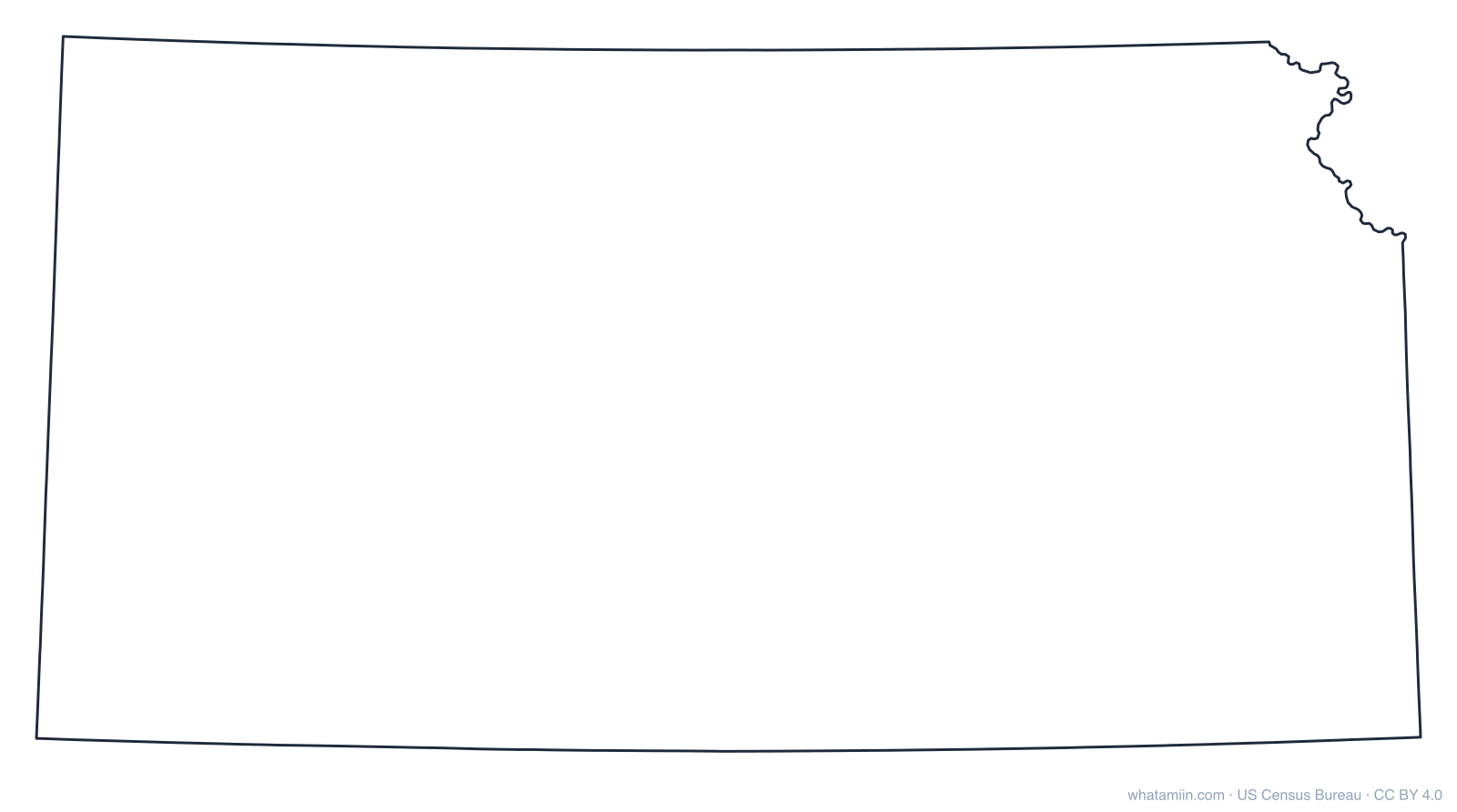
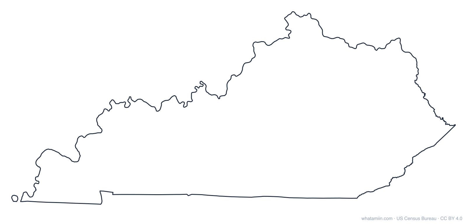
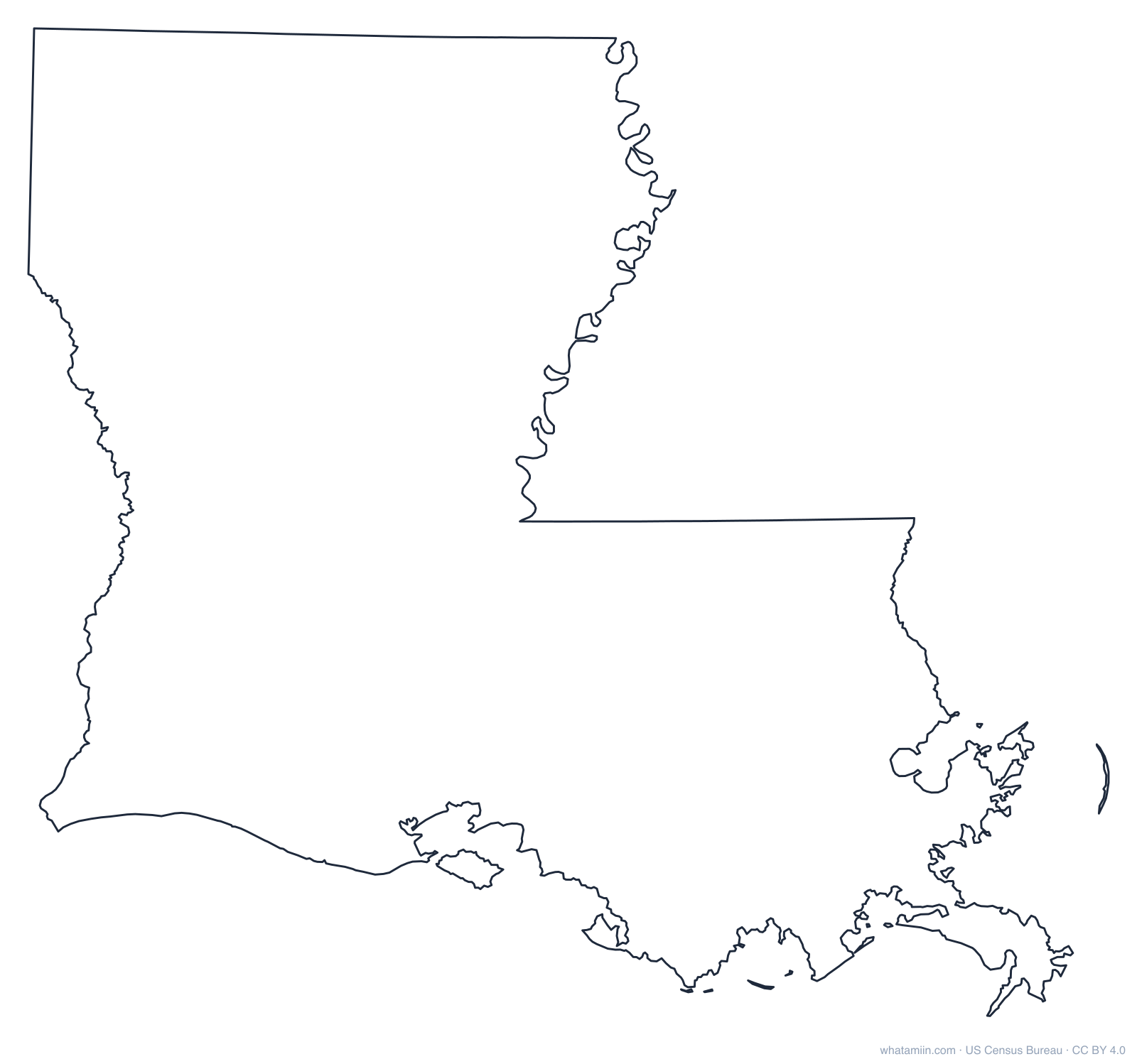
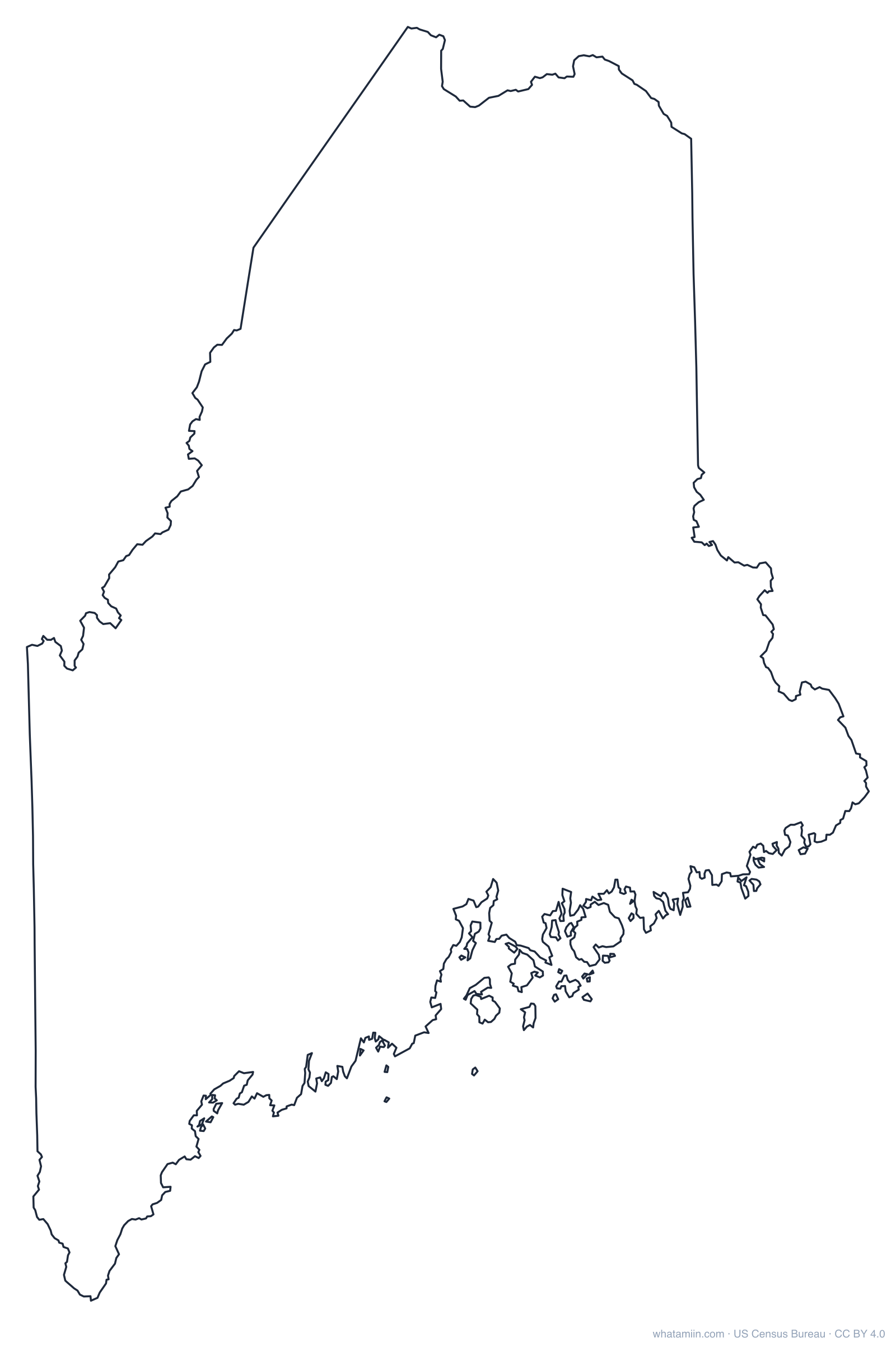
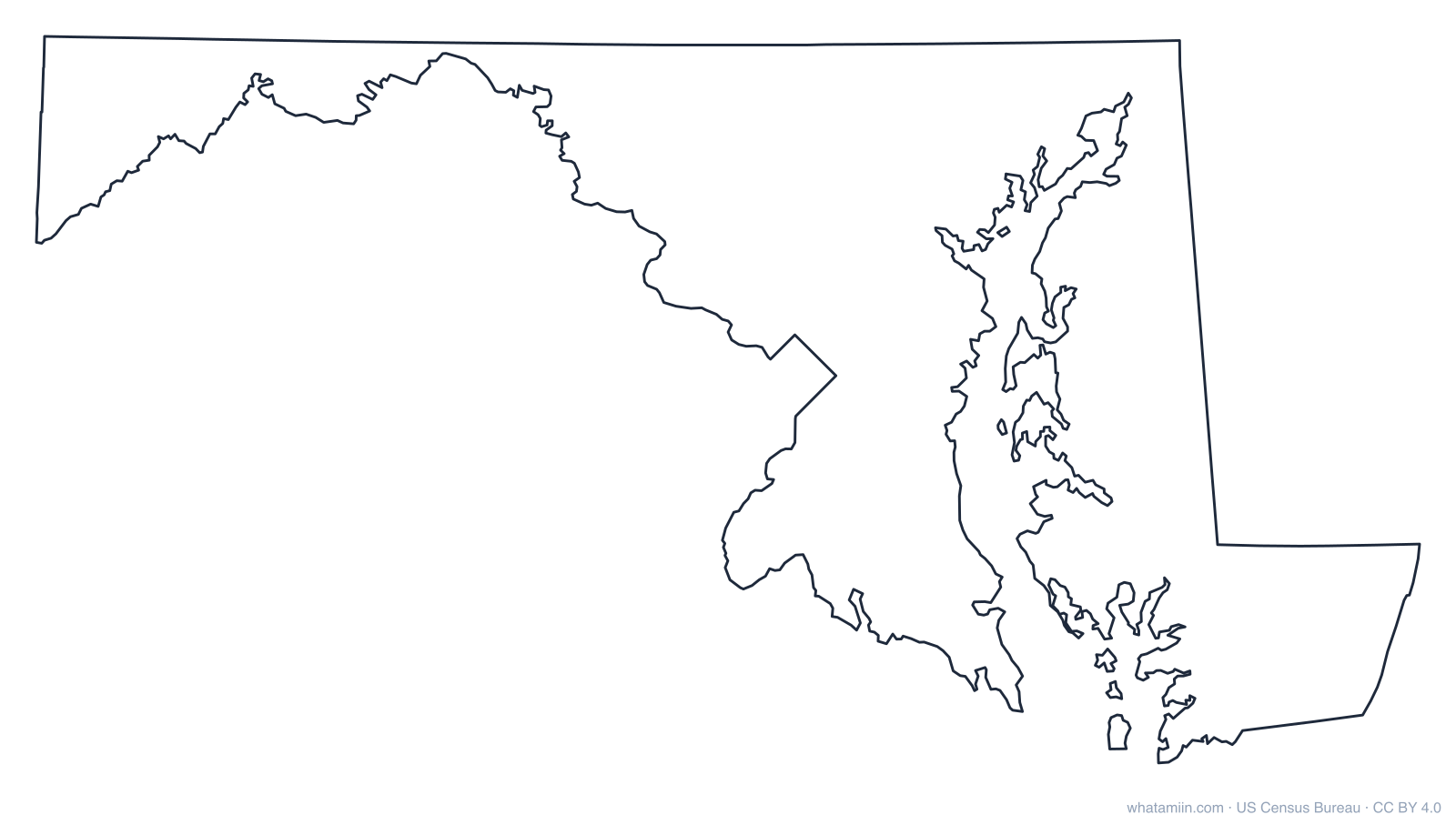
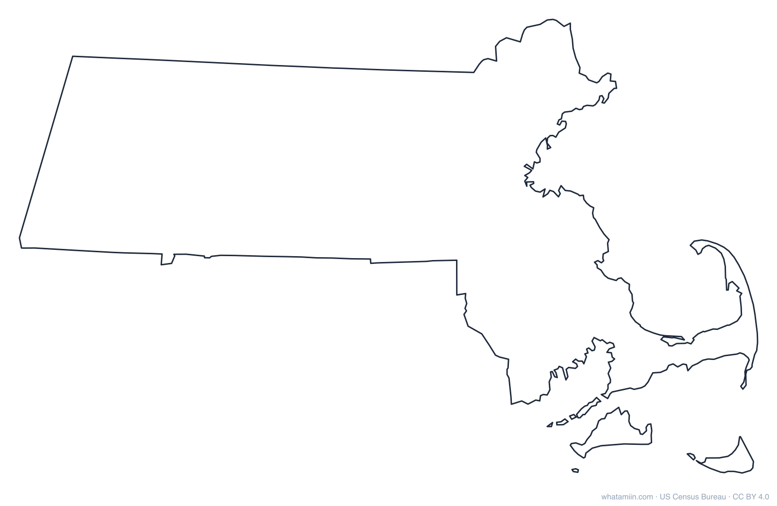
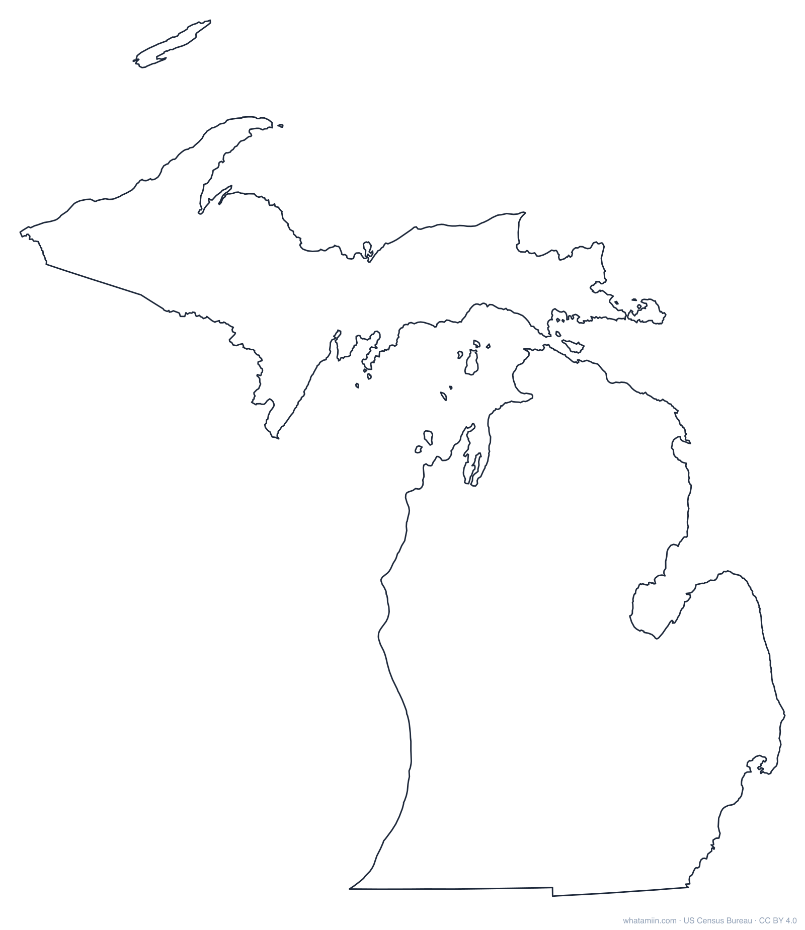
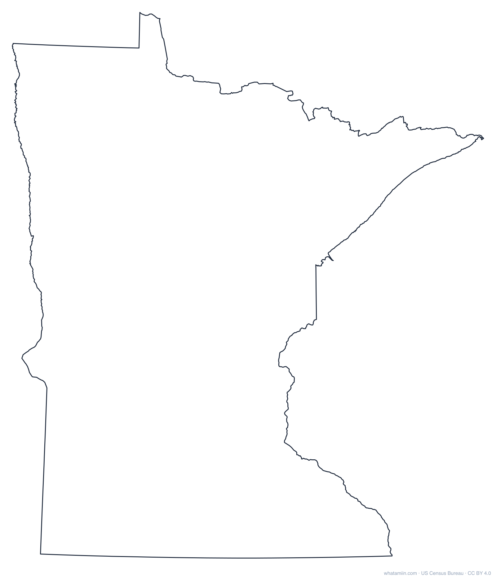
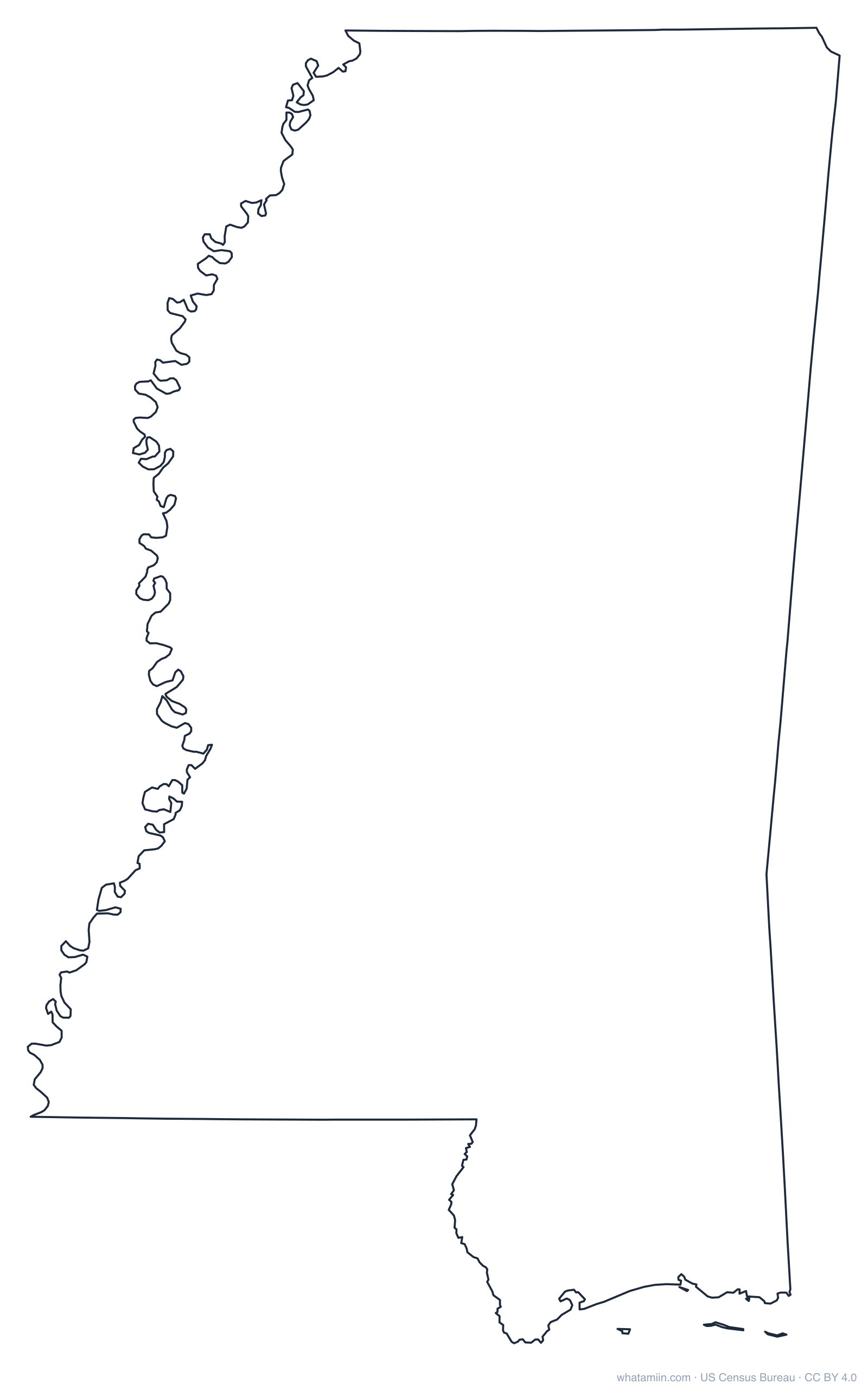
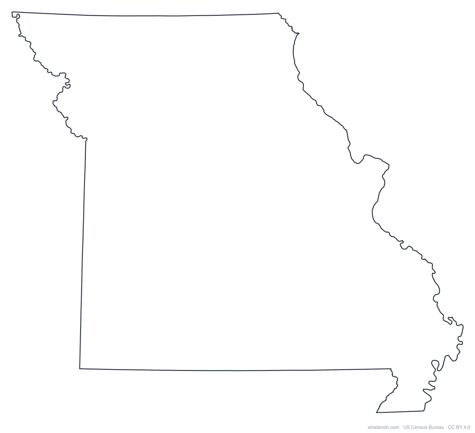
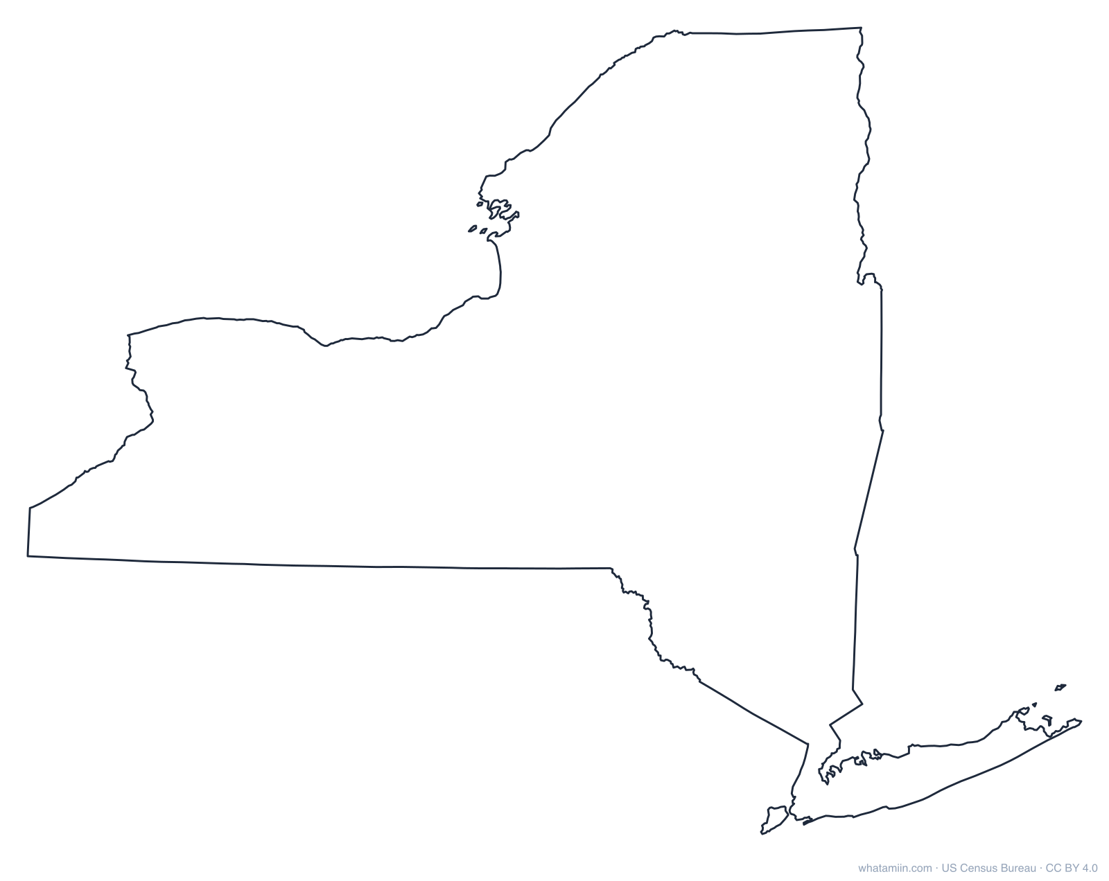
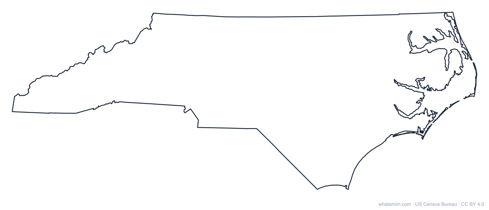
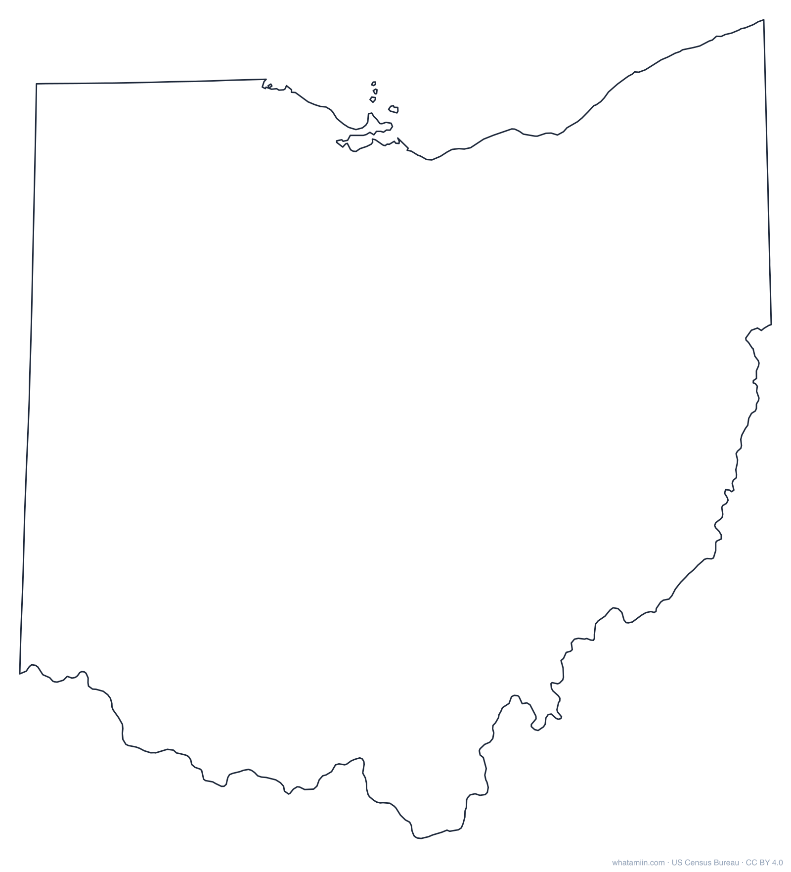
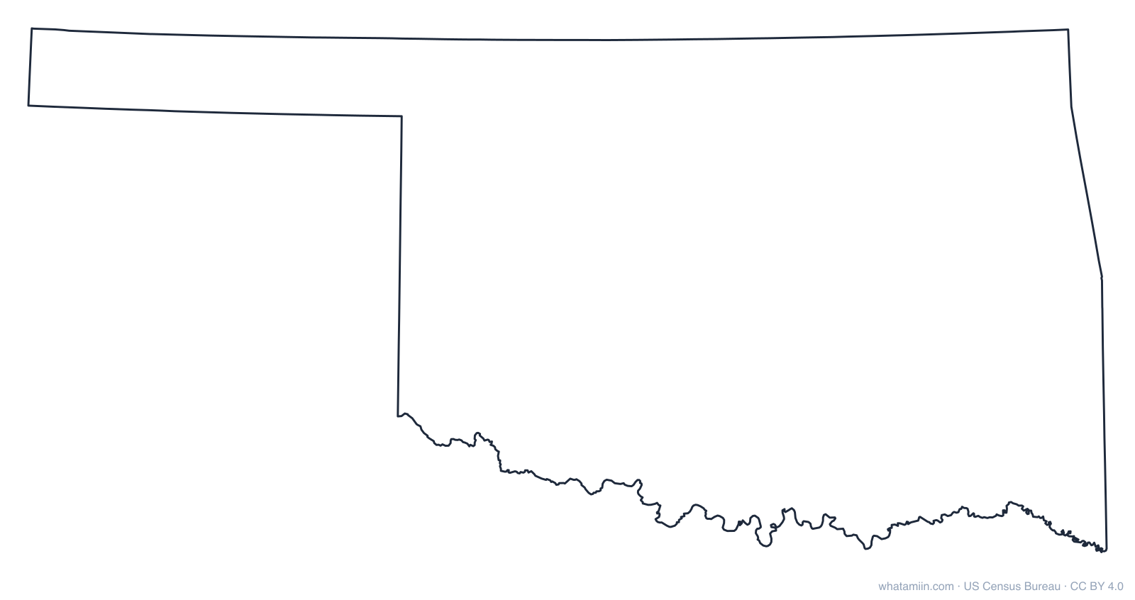
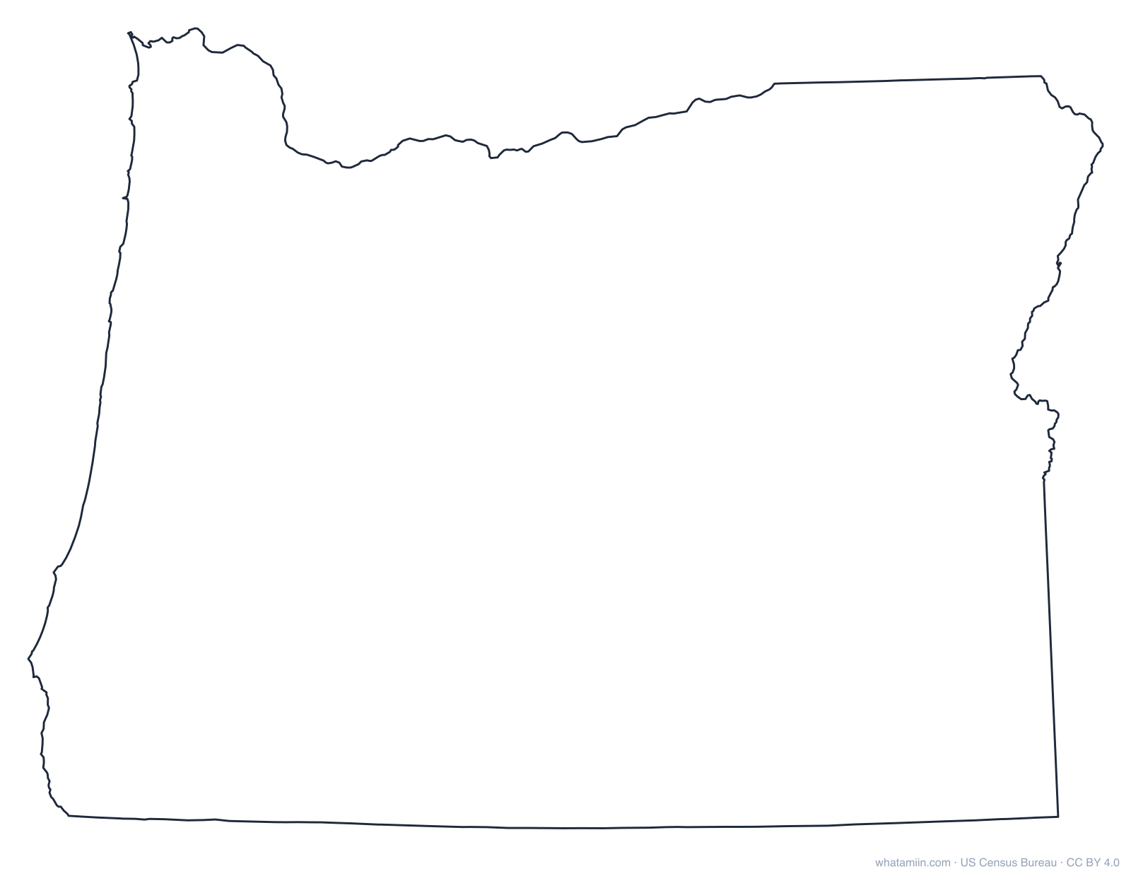
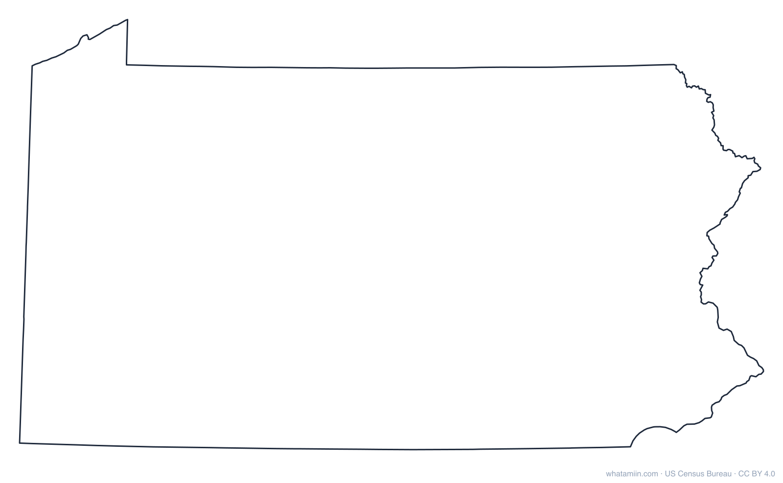
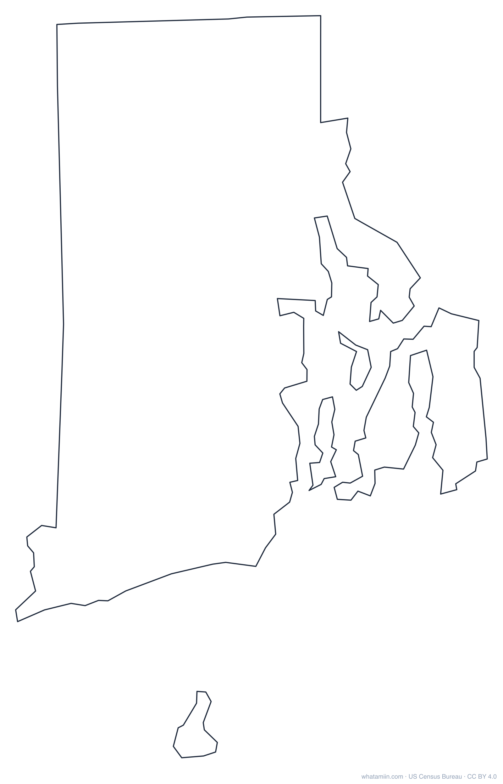
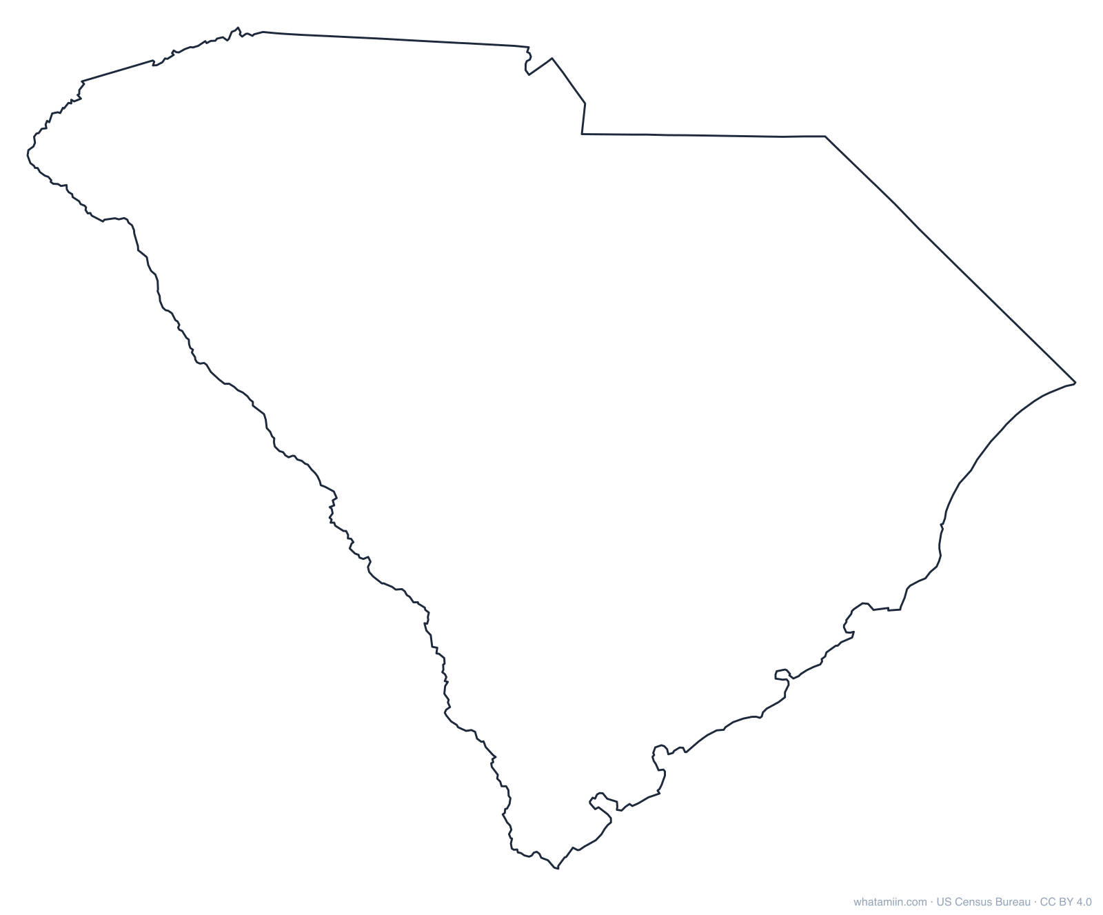
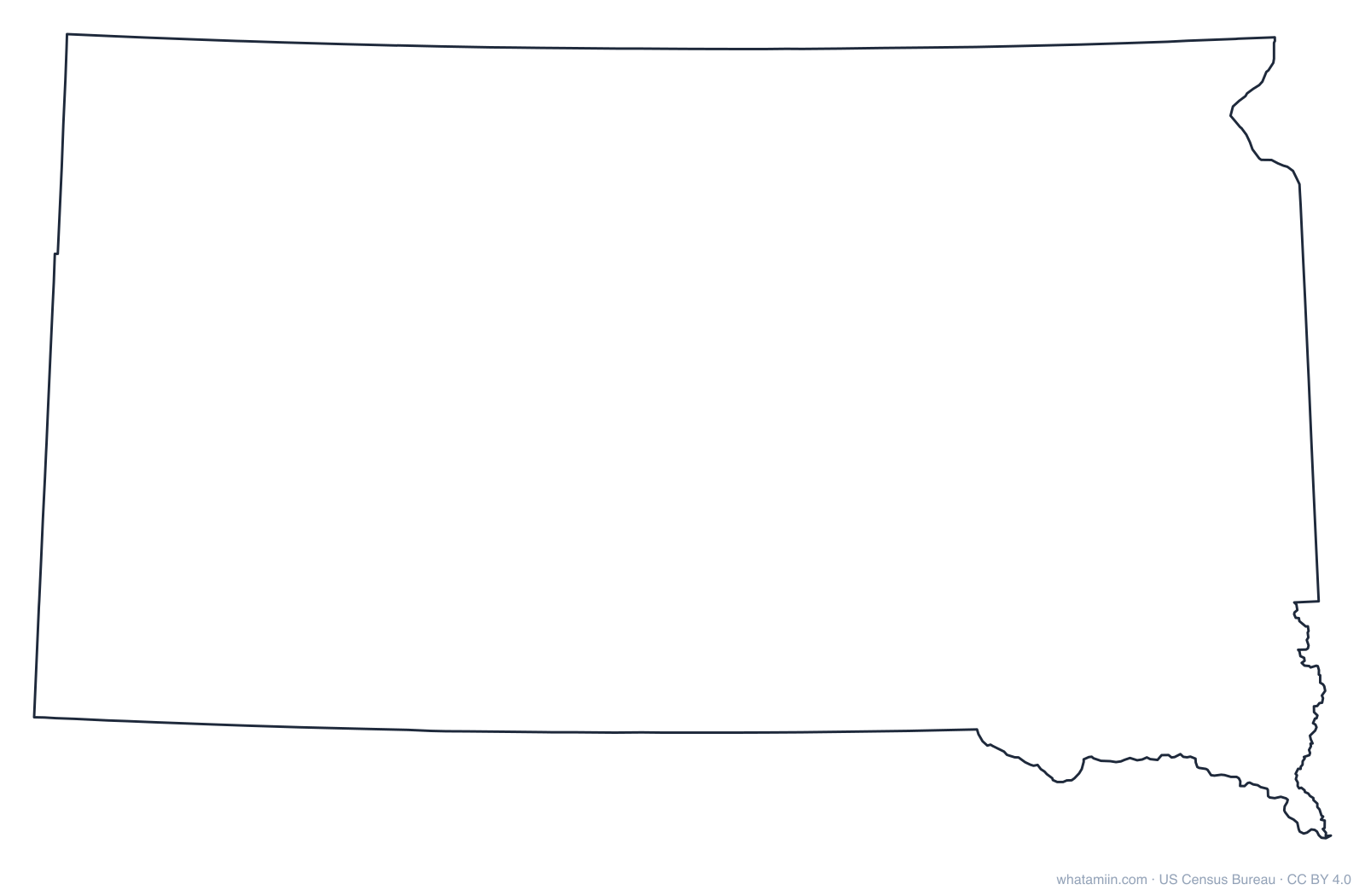
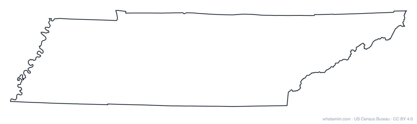
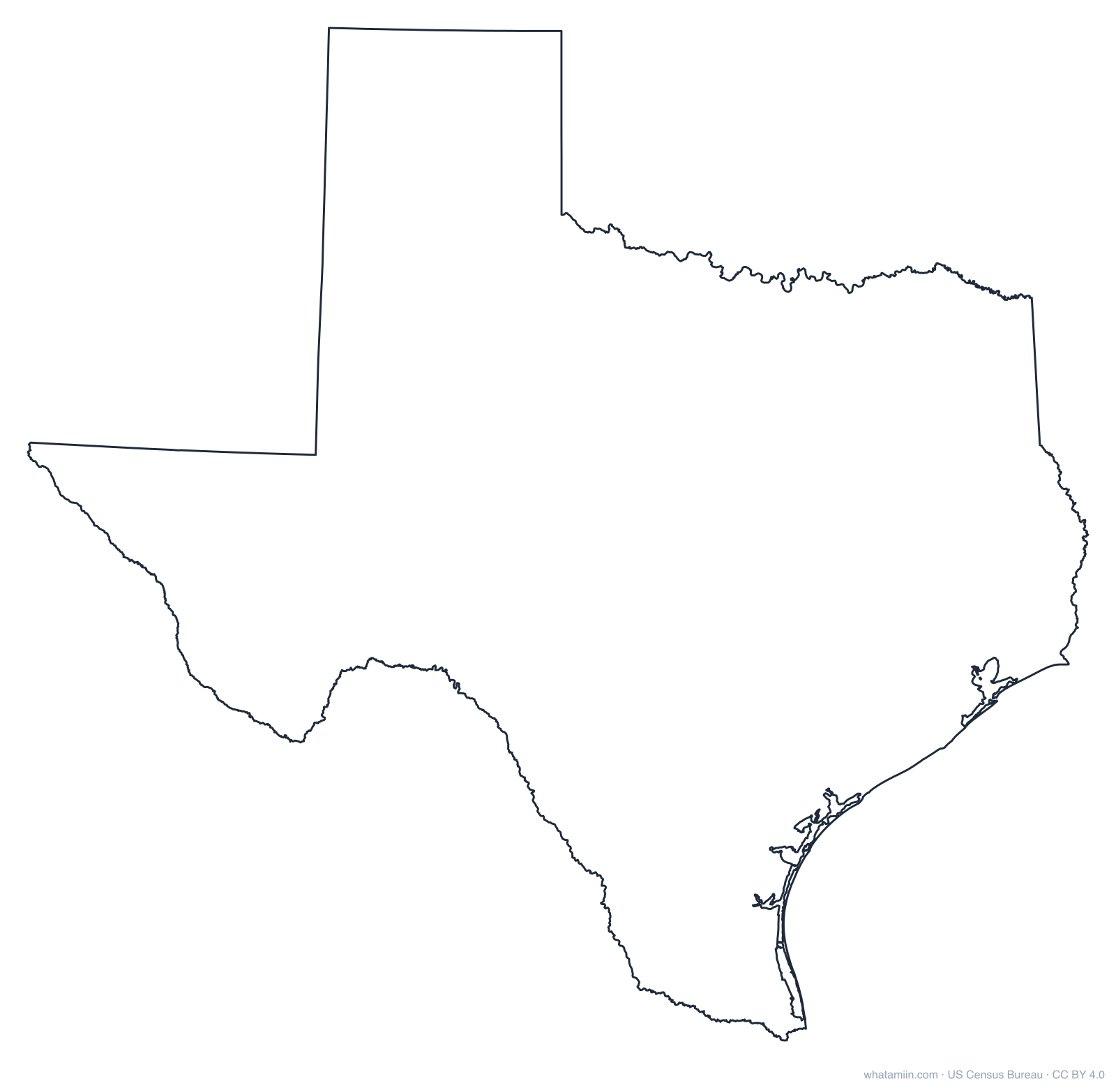
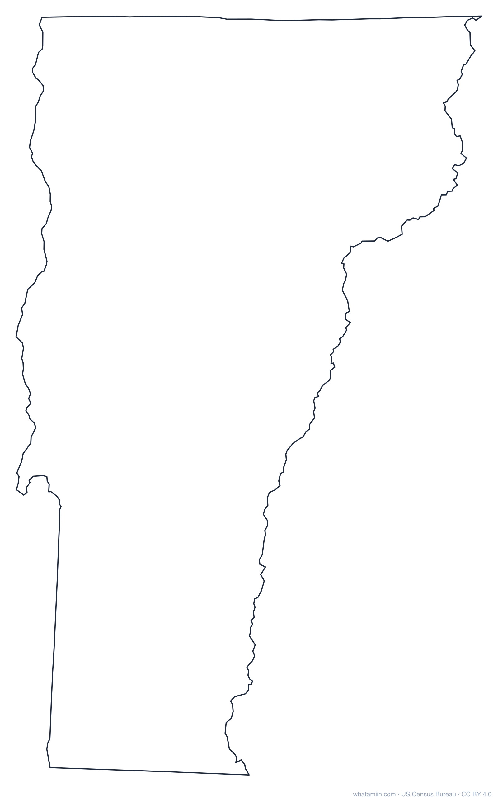
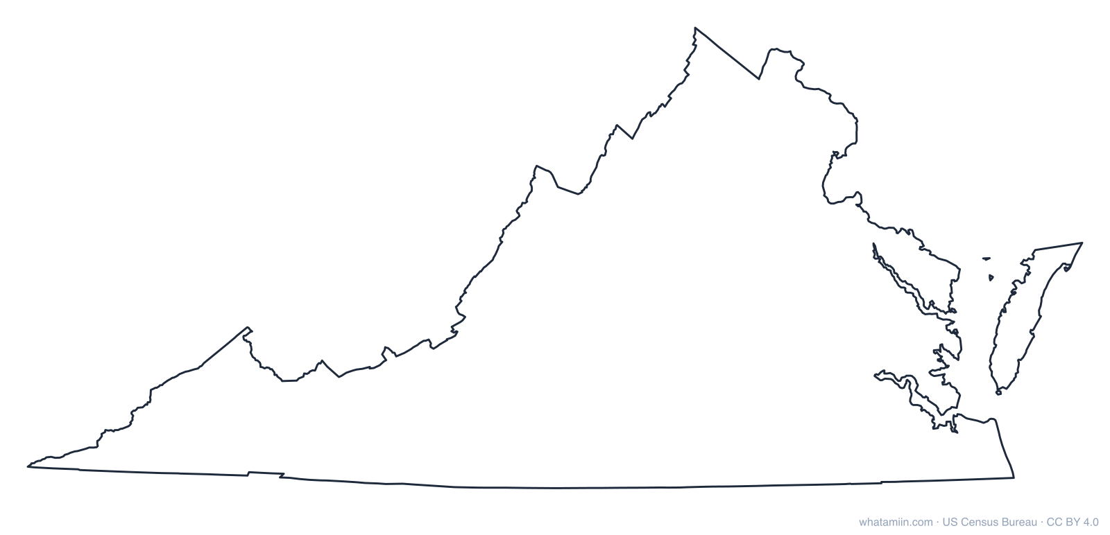
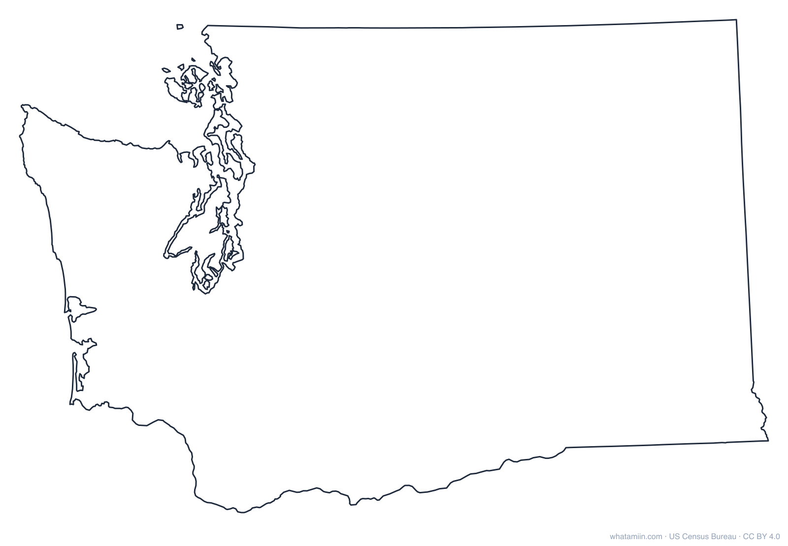
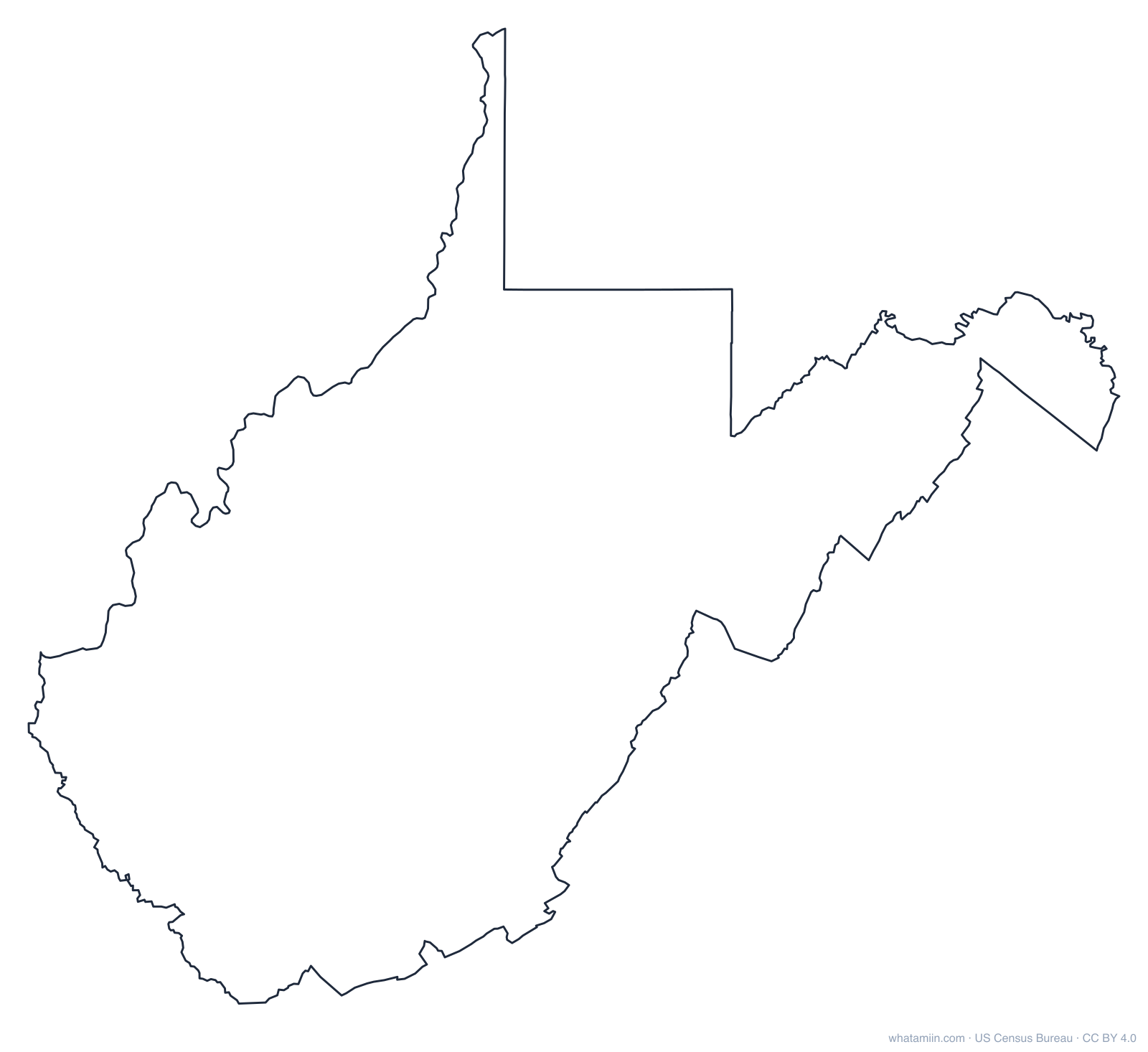
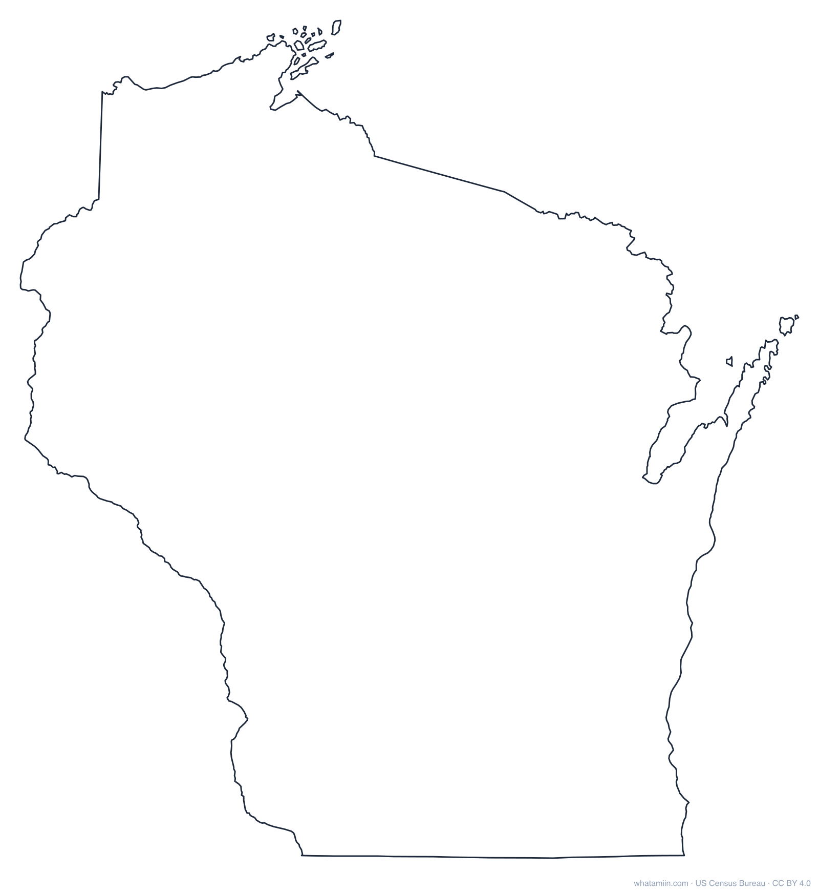
Each outline is drawn from US Census Bureau boundaries in an equal-area projection centered on that state, so the shape looks the way it does on a good atlas page rather than stretched. Islands and coastal detail are kept, and lakes are not cut out, so the outline works as a single cut line for vinyl cutters, laser cutters and stencils.
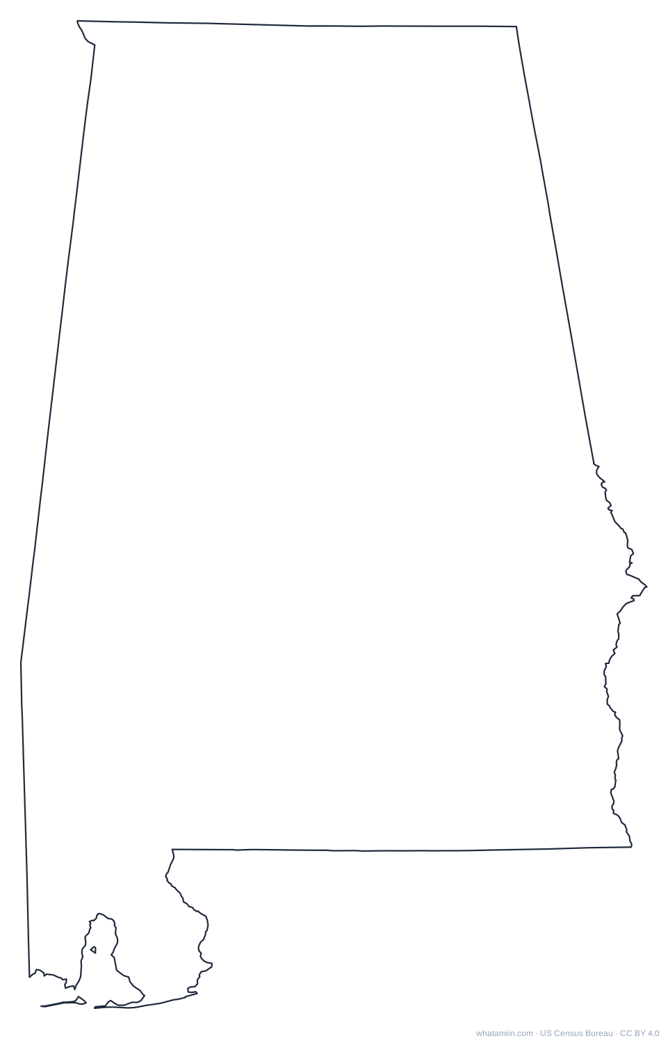 AlabamaPDF · PNG · SVG
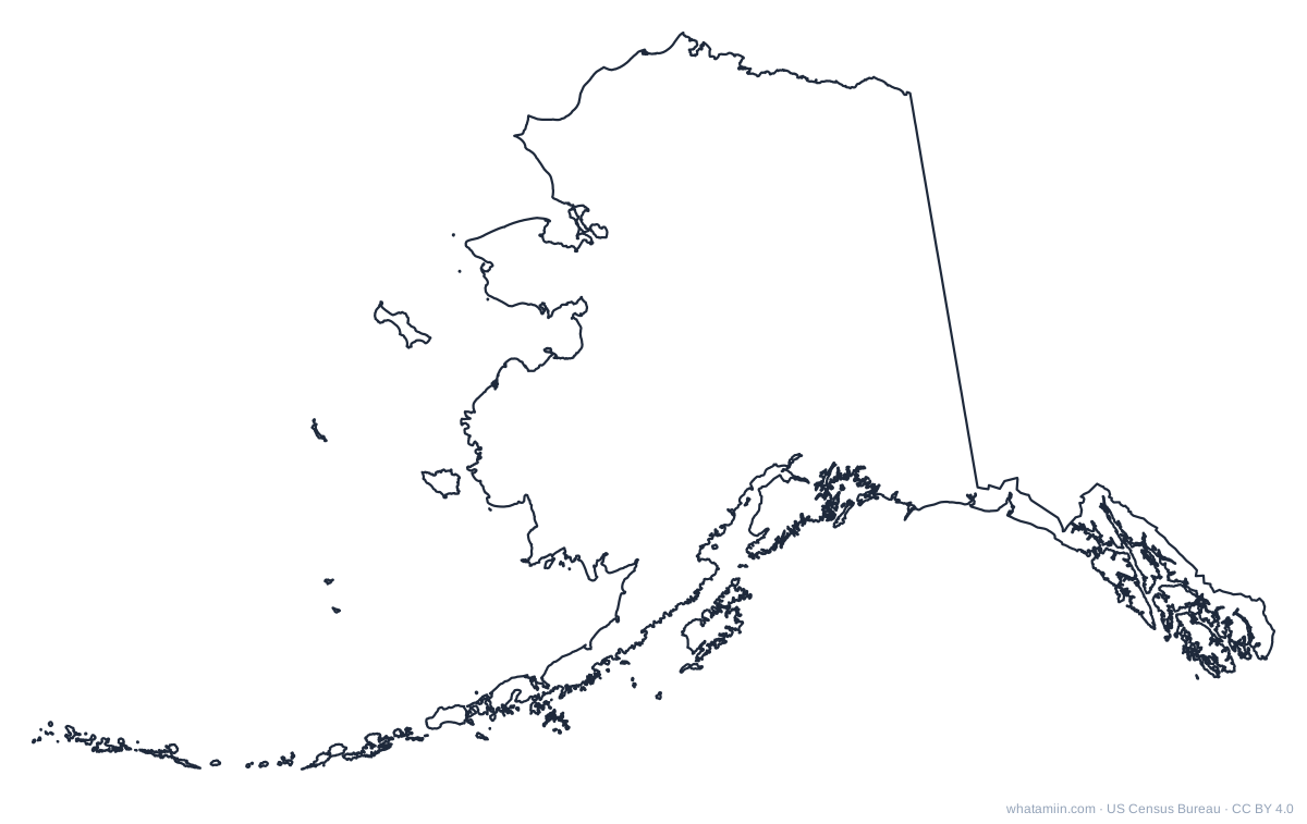 AlaskaPDF · PNG · SVG
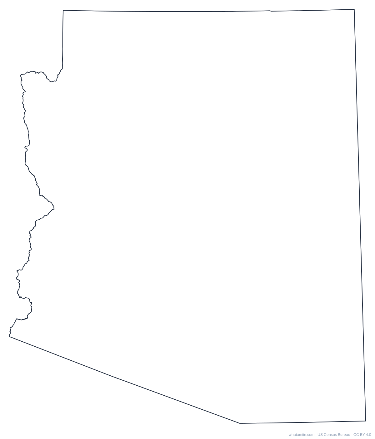 ArizonaPDF · PNG · SVG
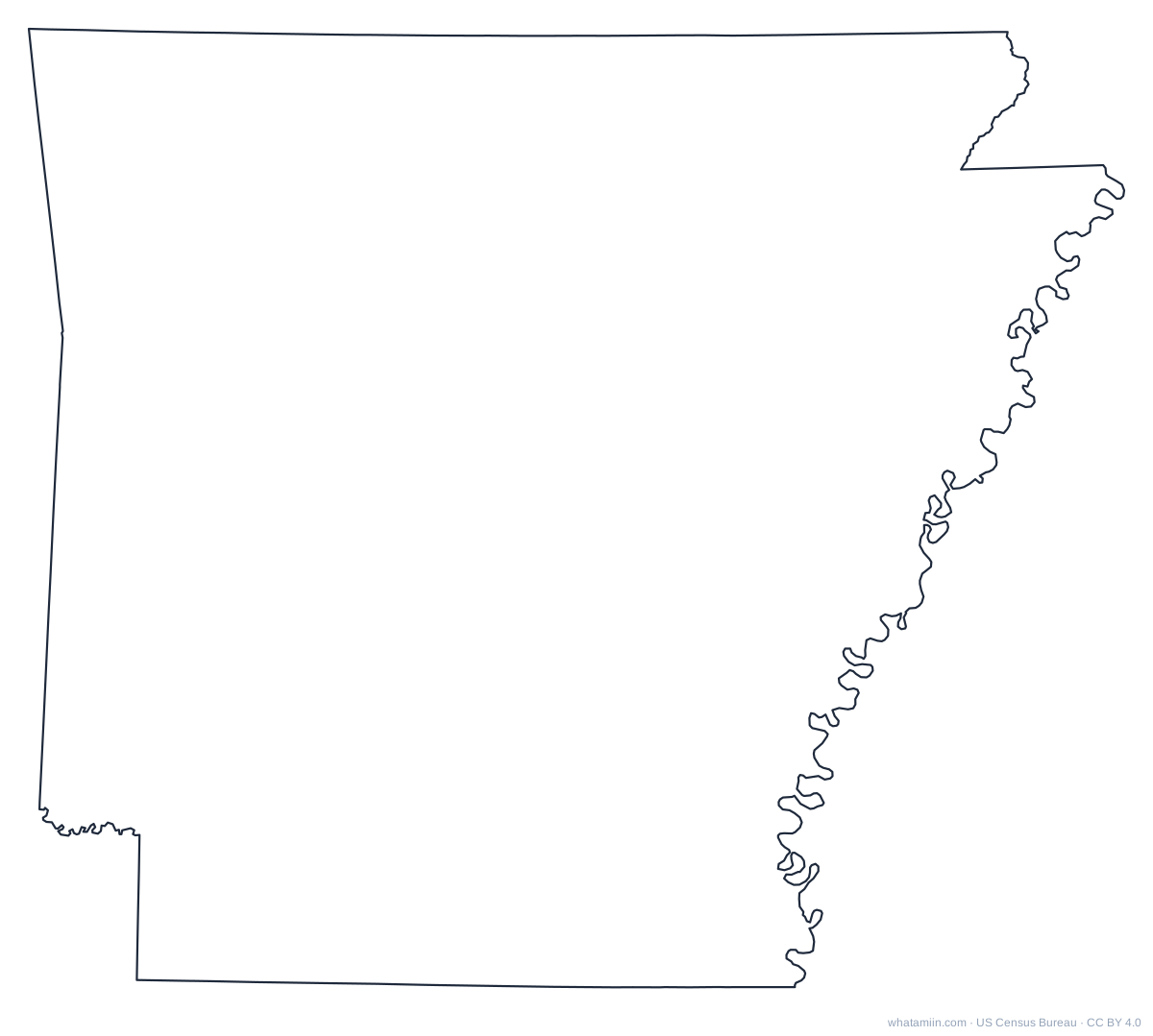 ArkansasPDF · PNG · SVG
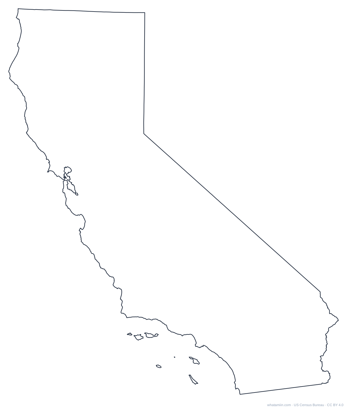 CaliforniaPDF · PNG · SVG
 ColoradoPDF · PNG · SVG
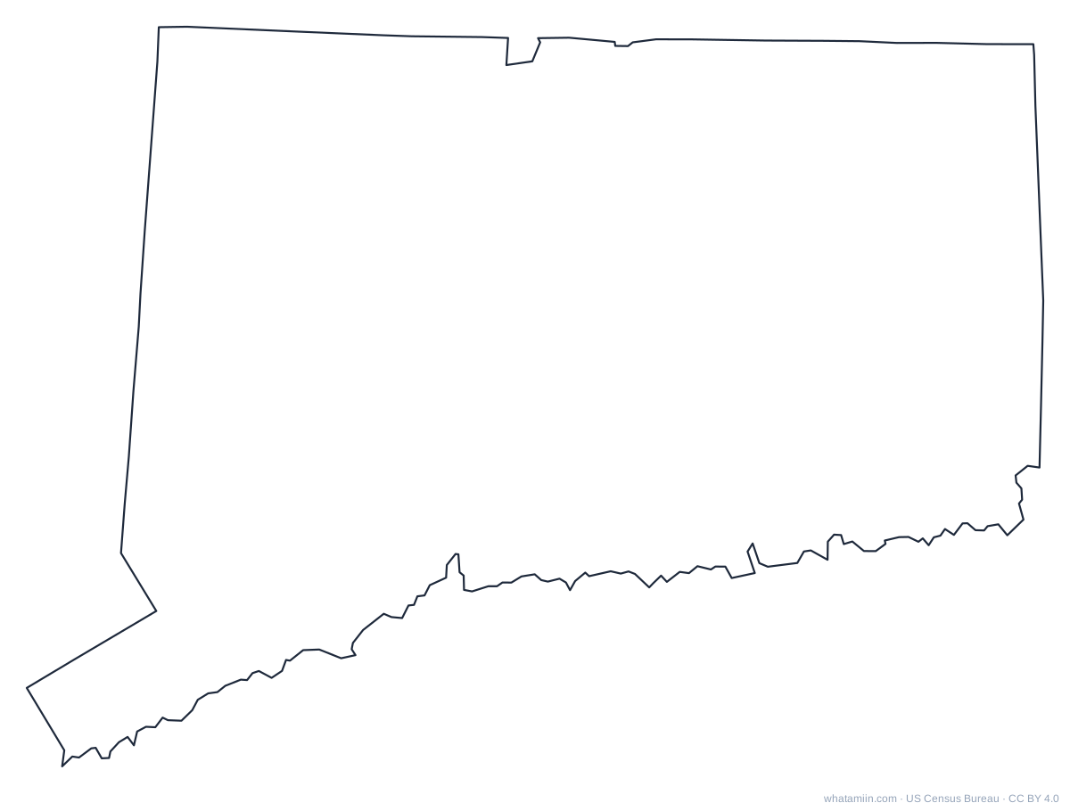 ConnecticutPDF · PNG · SVG
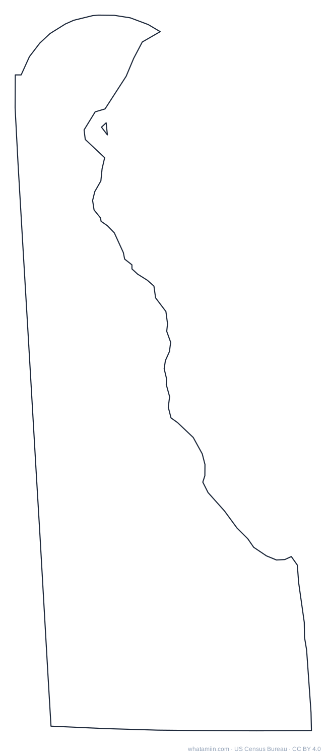 DelawarePDF · PNG · SVG
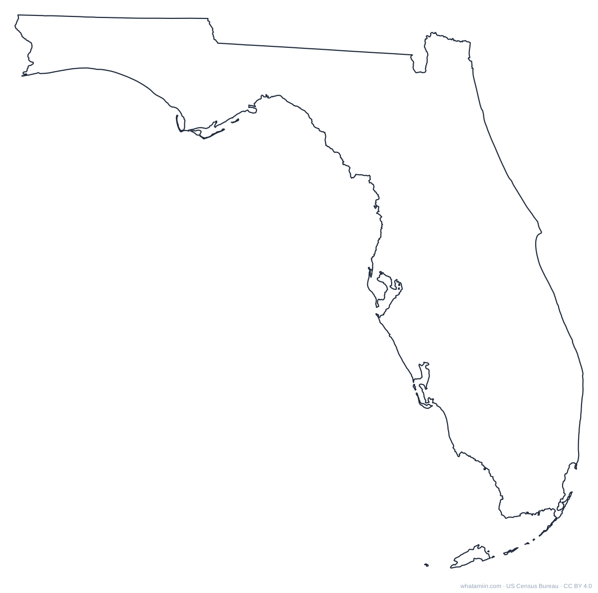 FloridaPDF · PNG · SVG
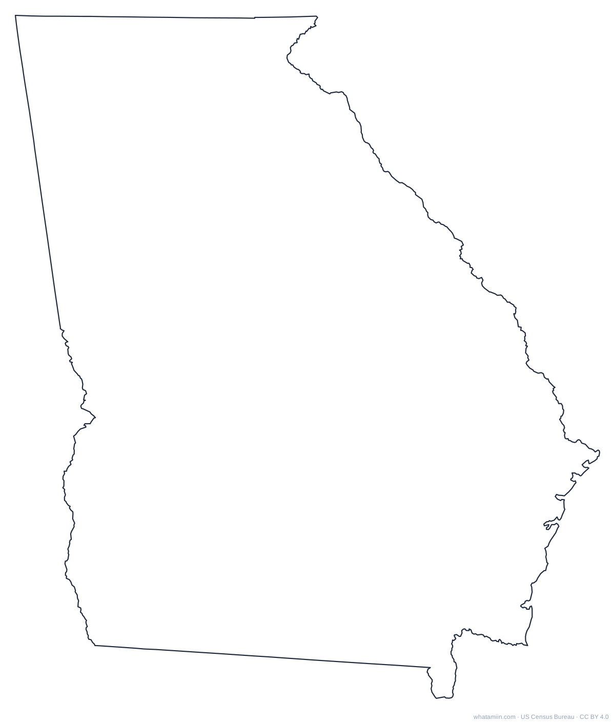 GeorgiaPDF · PNG · SVG
 HawaiiPDF · PNG · SVG
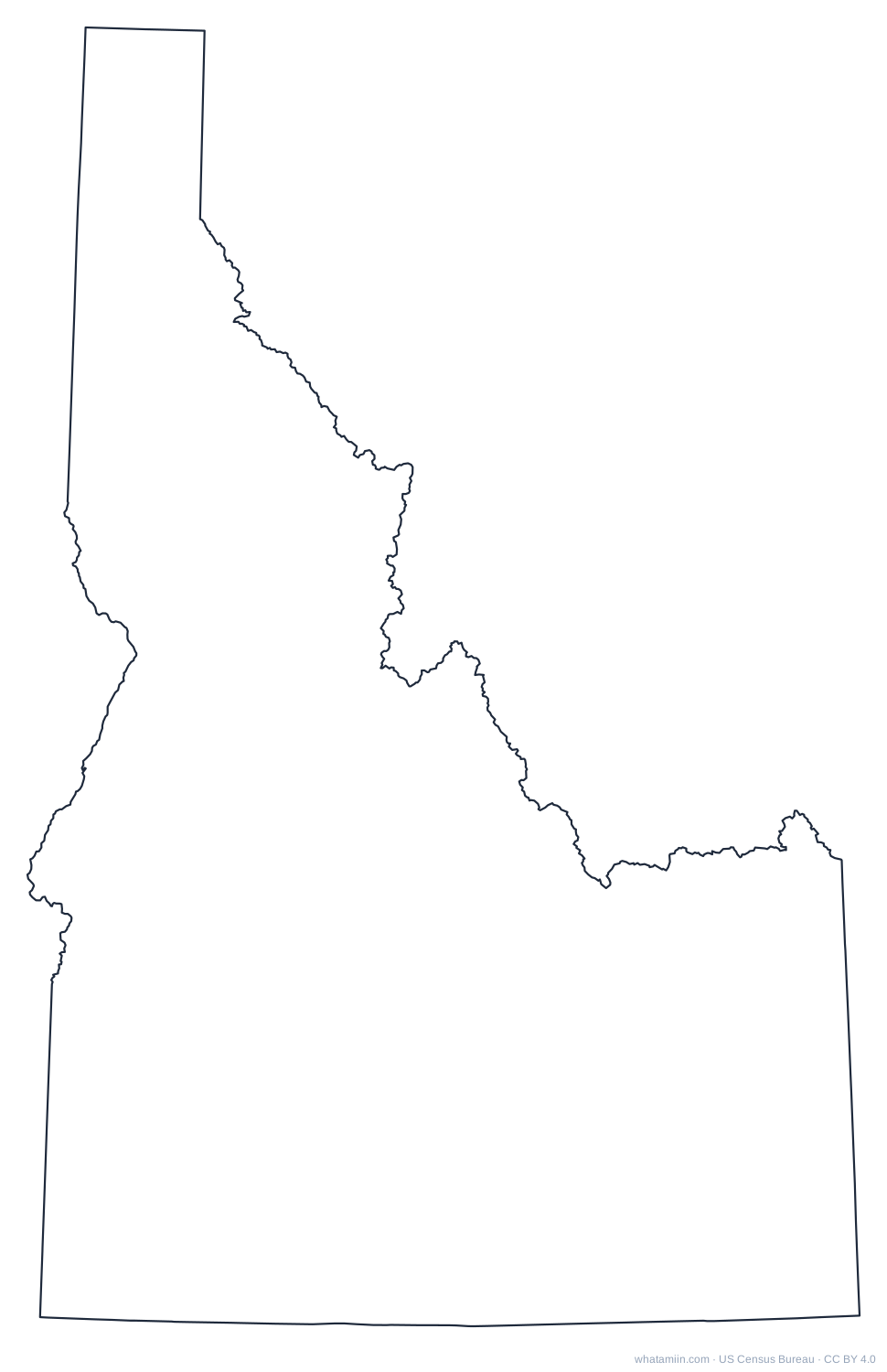 IdahoPDF · PNG · SVG
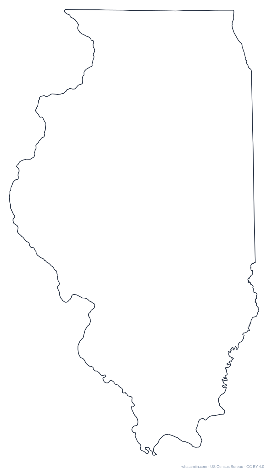 IllinoisPDF · PNG · SVG
 IndianaPDF · PNG · SVG
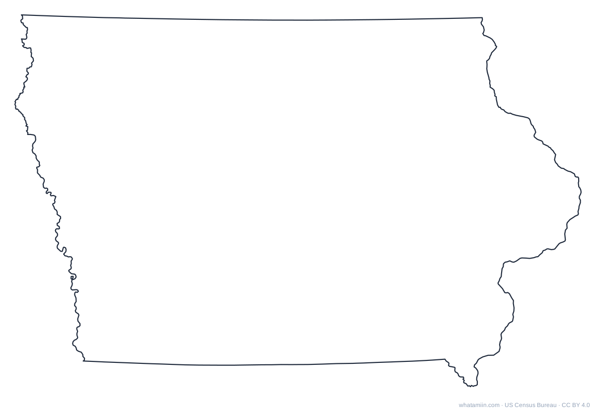 IowaPDF · PNG · SVG
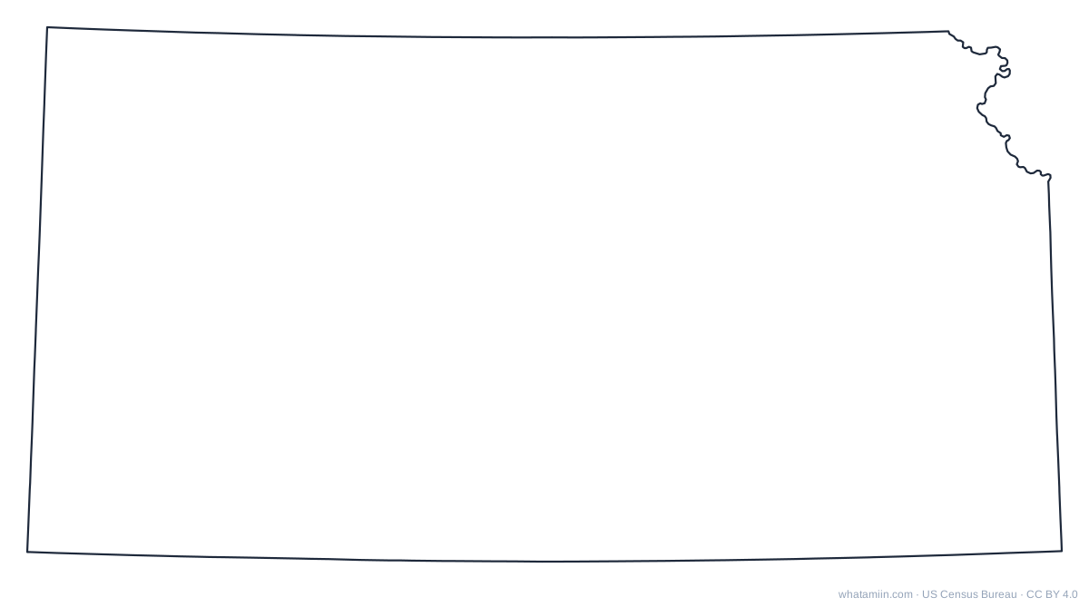 KansasPDF · PNG · SVG
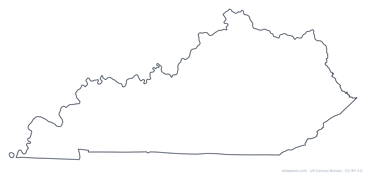 KentuckyPDF · PNG · SVG
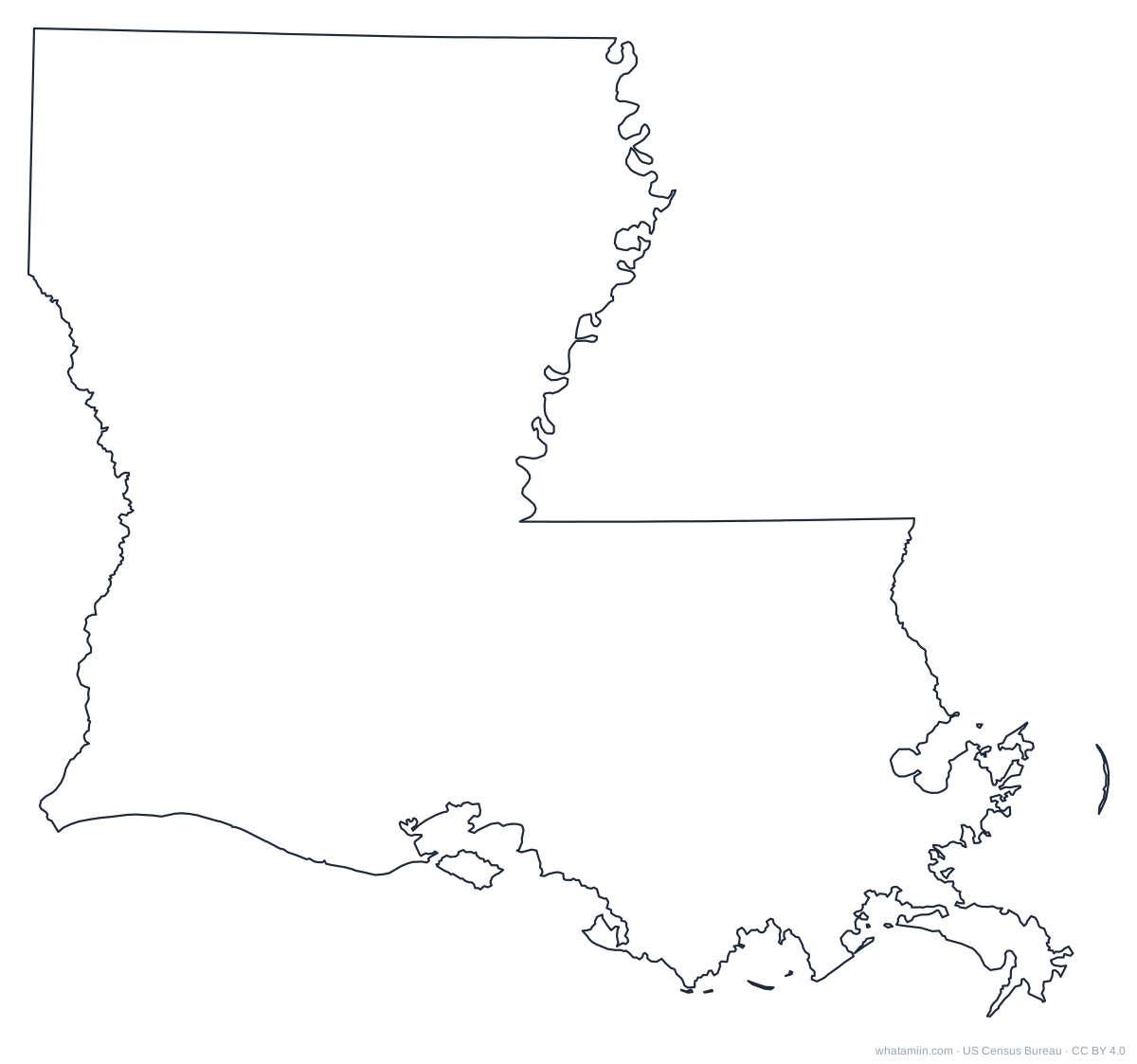 LouisianaPDF · PNG · SVG
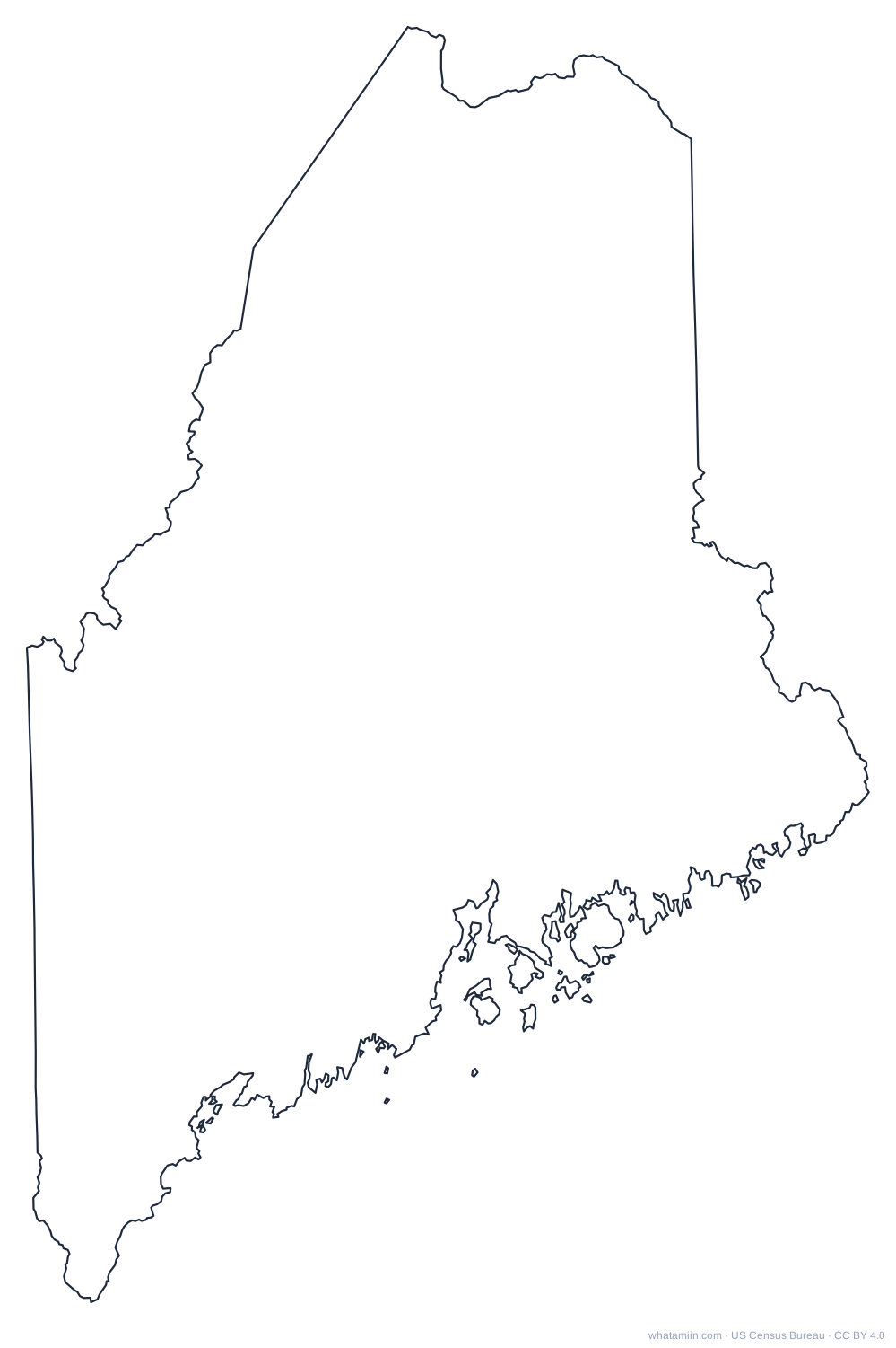 MainePDF · PNG · SVG
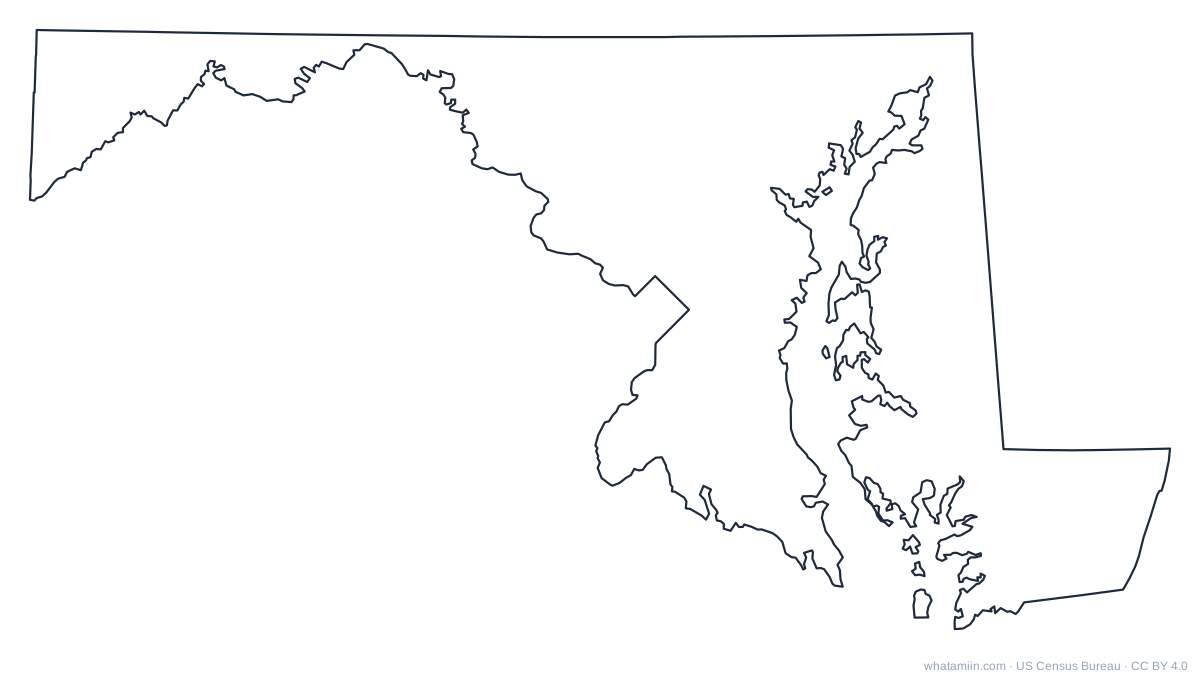 MarylandPDF · PNG · SVG
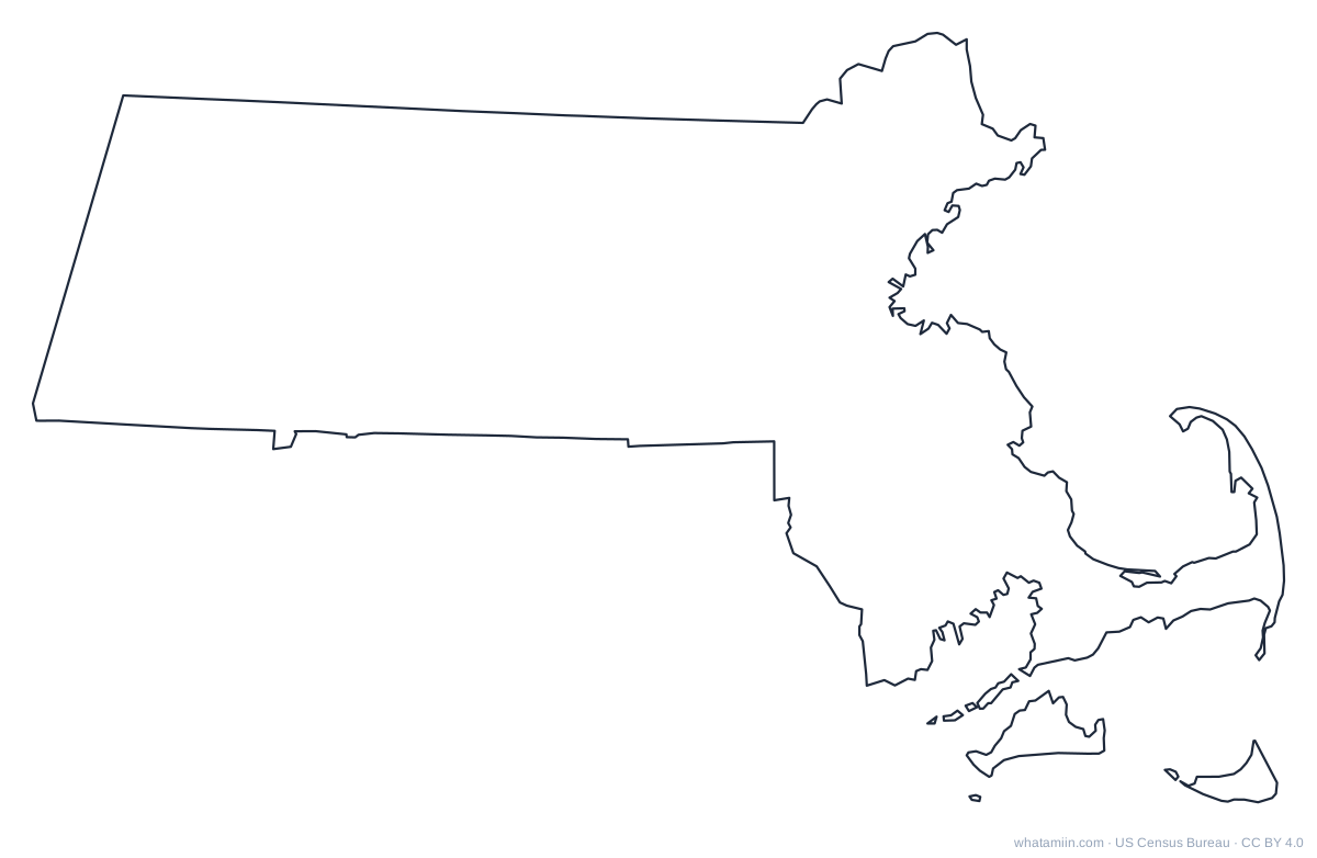 MassachusettsPDF · PNG · SVG
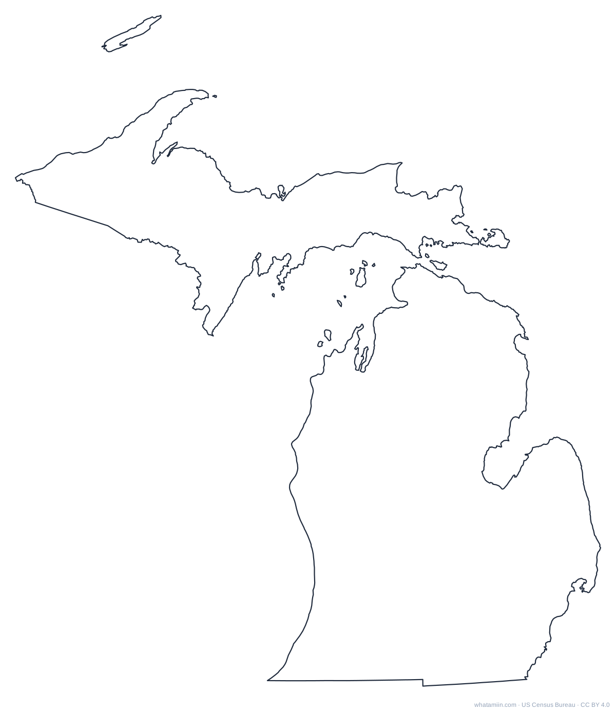 MichiganPDF · PNG · SVG
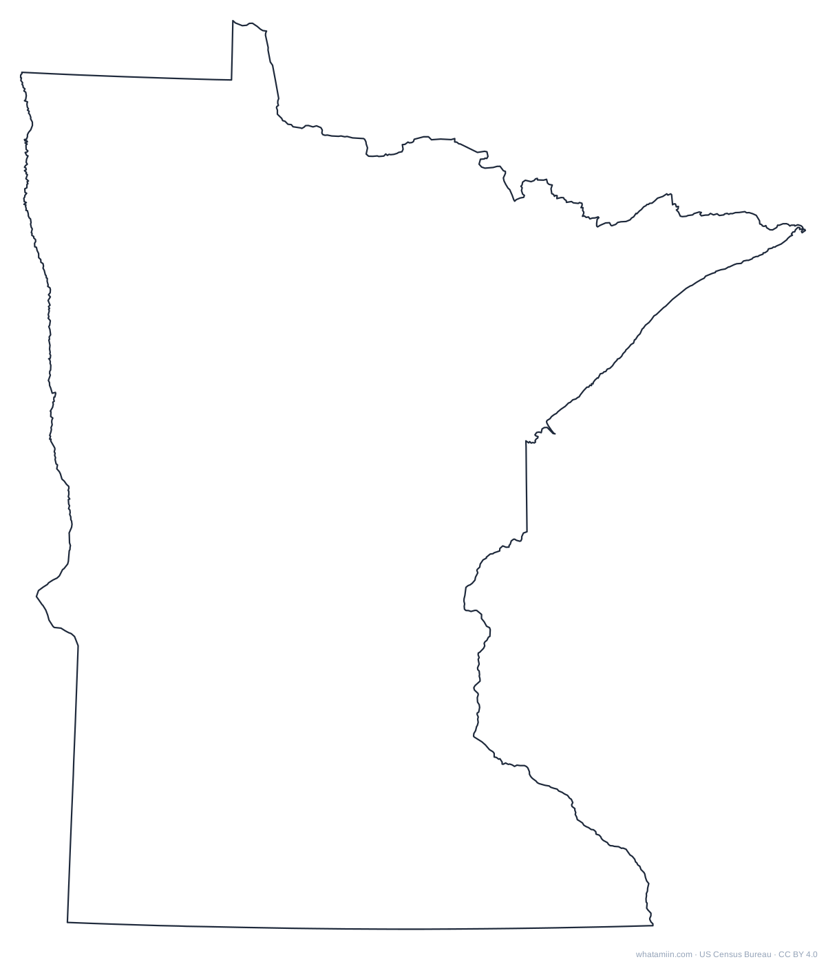 MinnesotaPDF · PNG · SVG
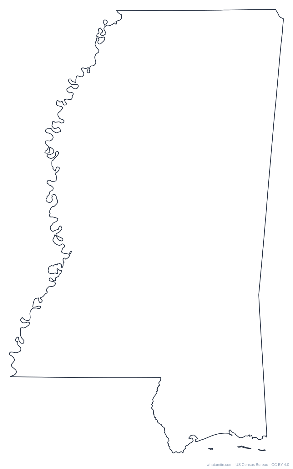 MississippiPDF · PNG · SVG
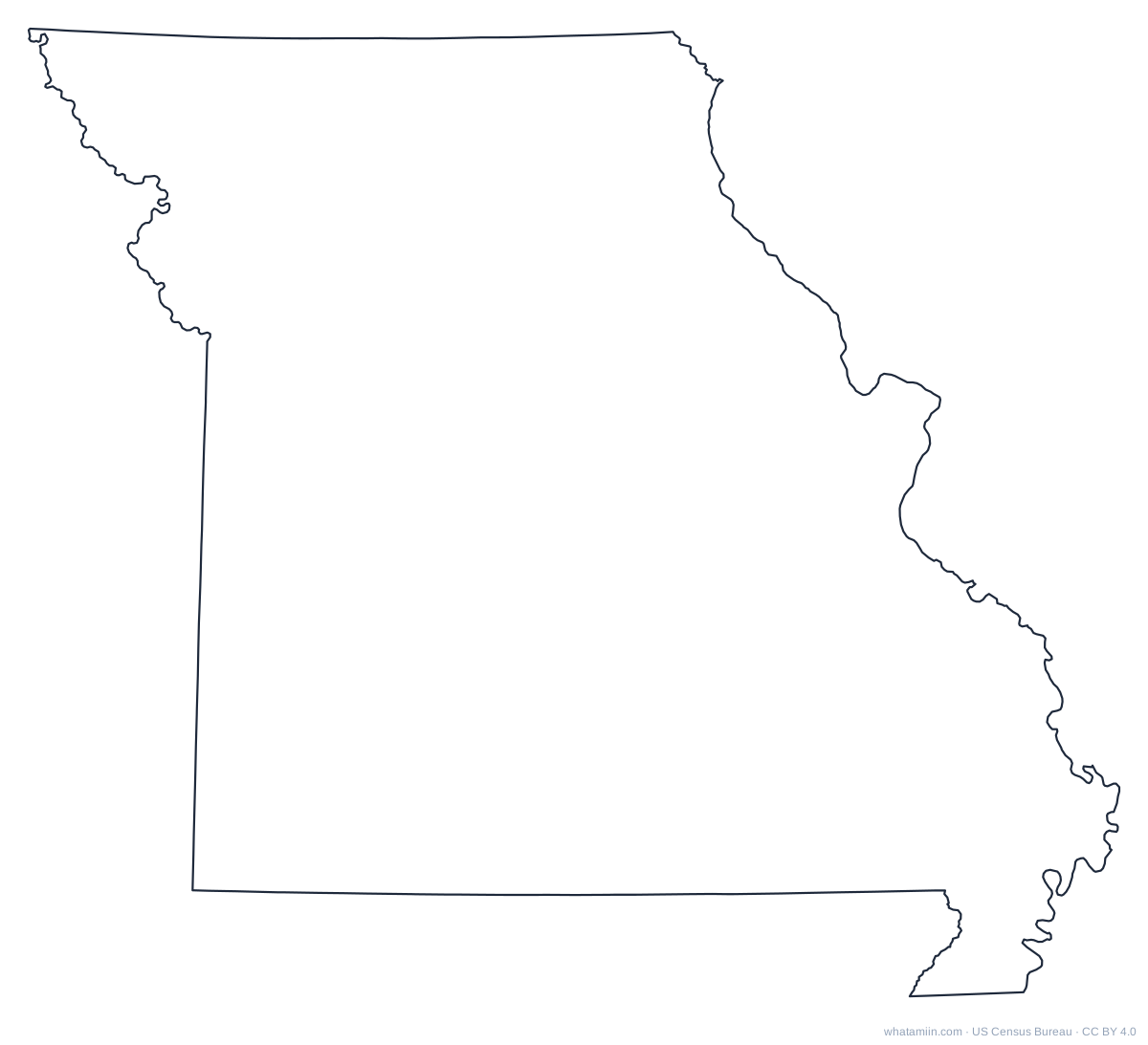 MissouriPDF · PNG · SVG
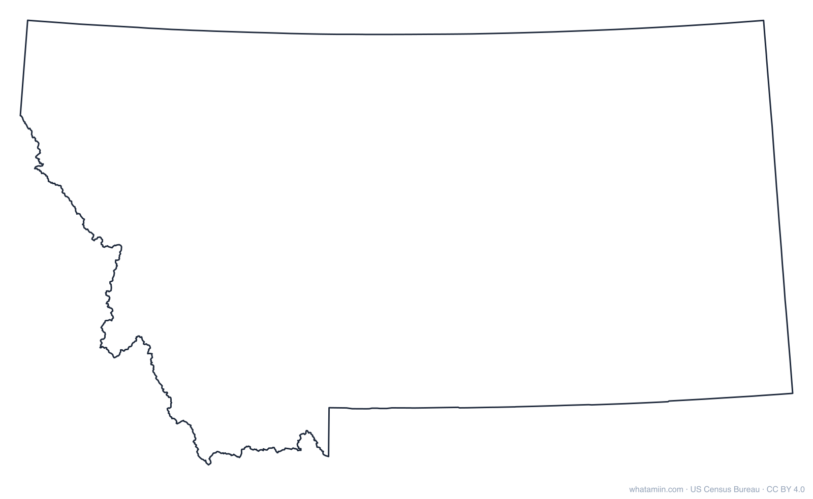
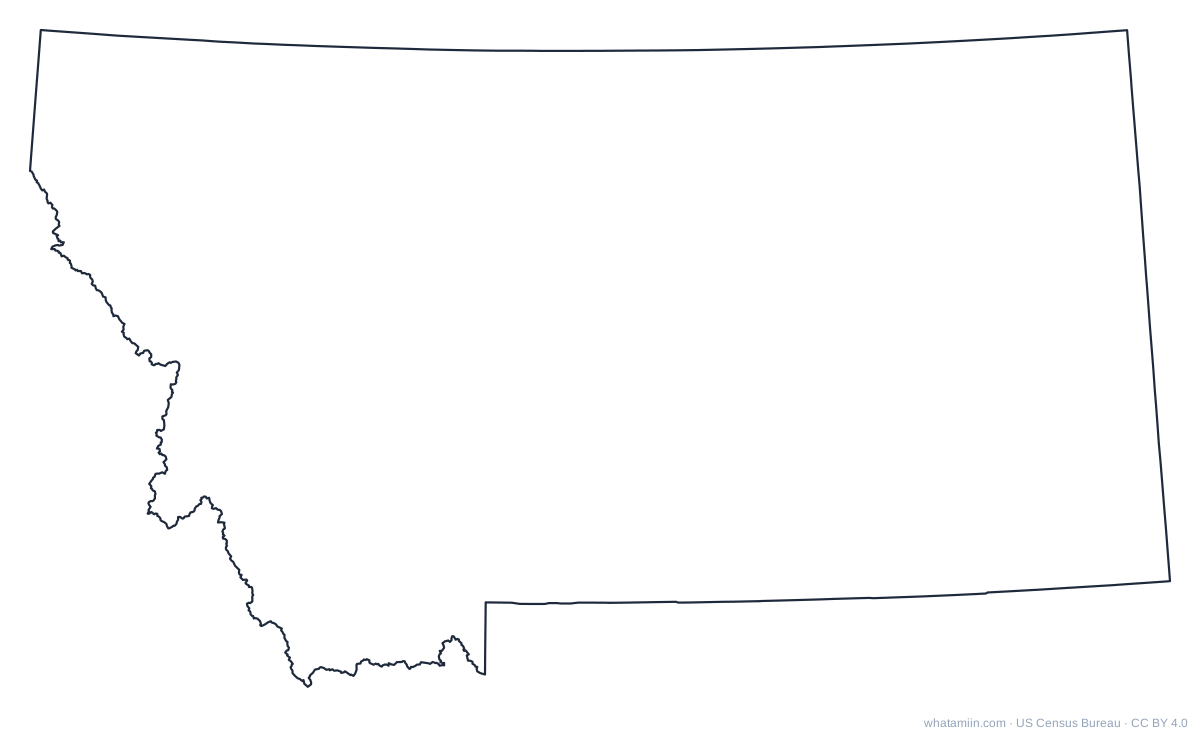 MontanaPDF · PNG · SVG
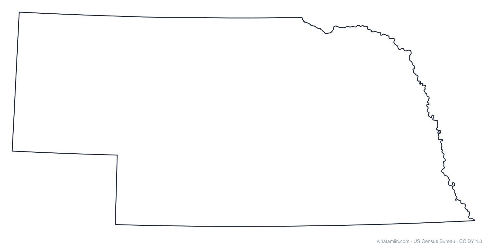
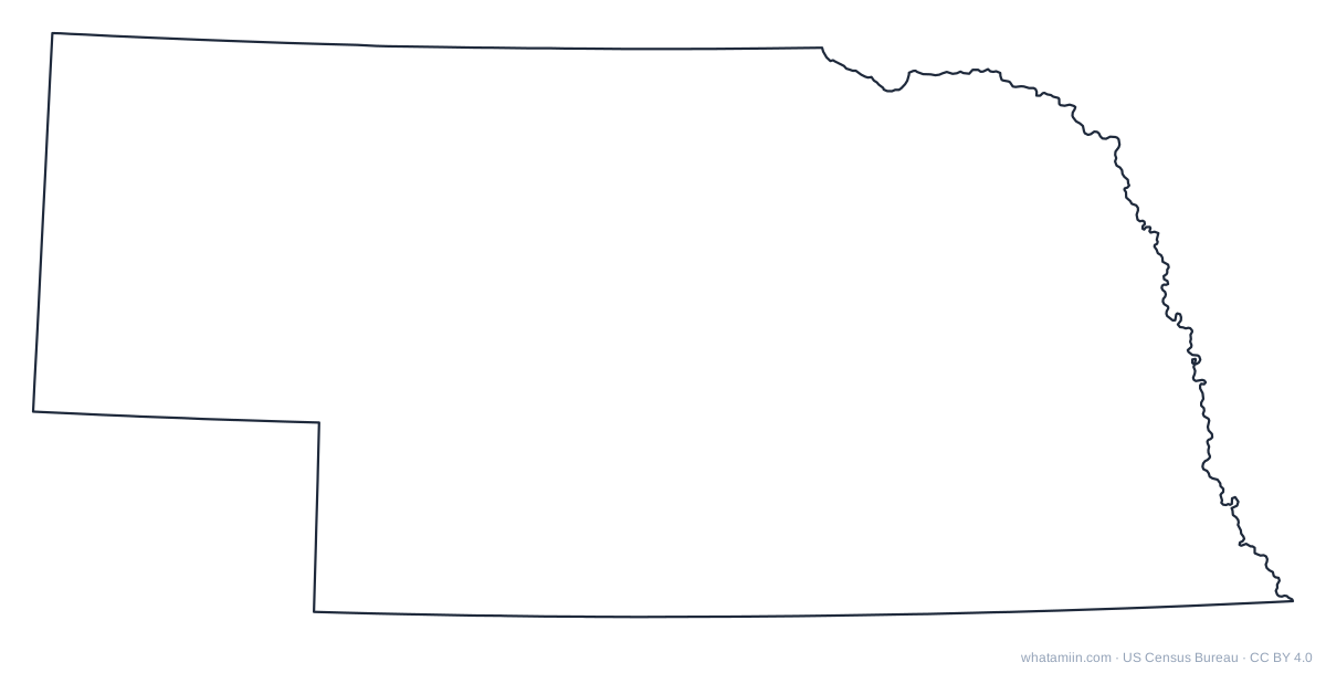 NebraskaPDF · PNG · SVG
 NevadaPDF · PNG · SVG
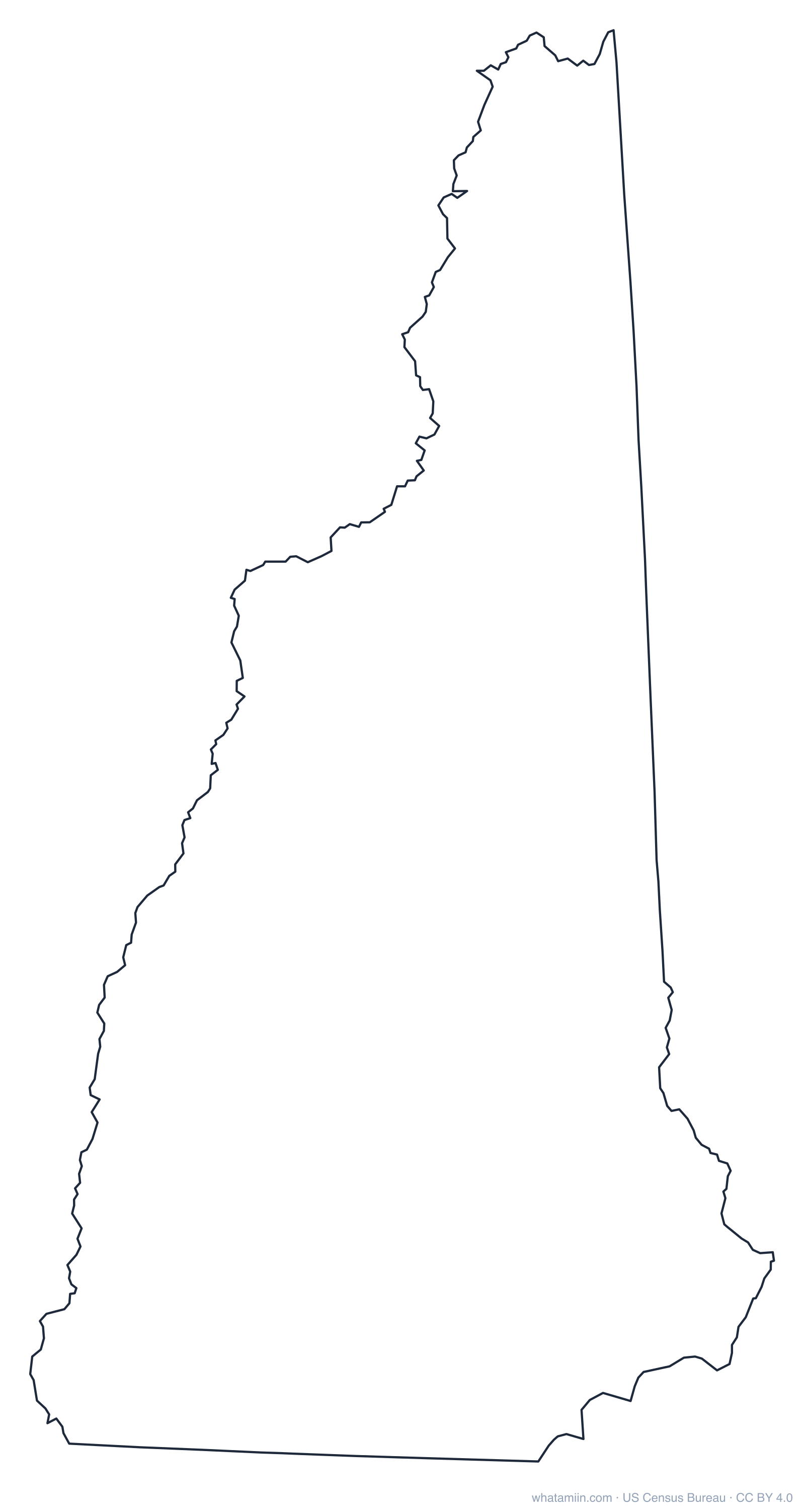
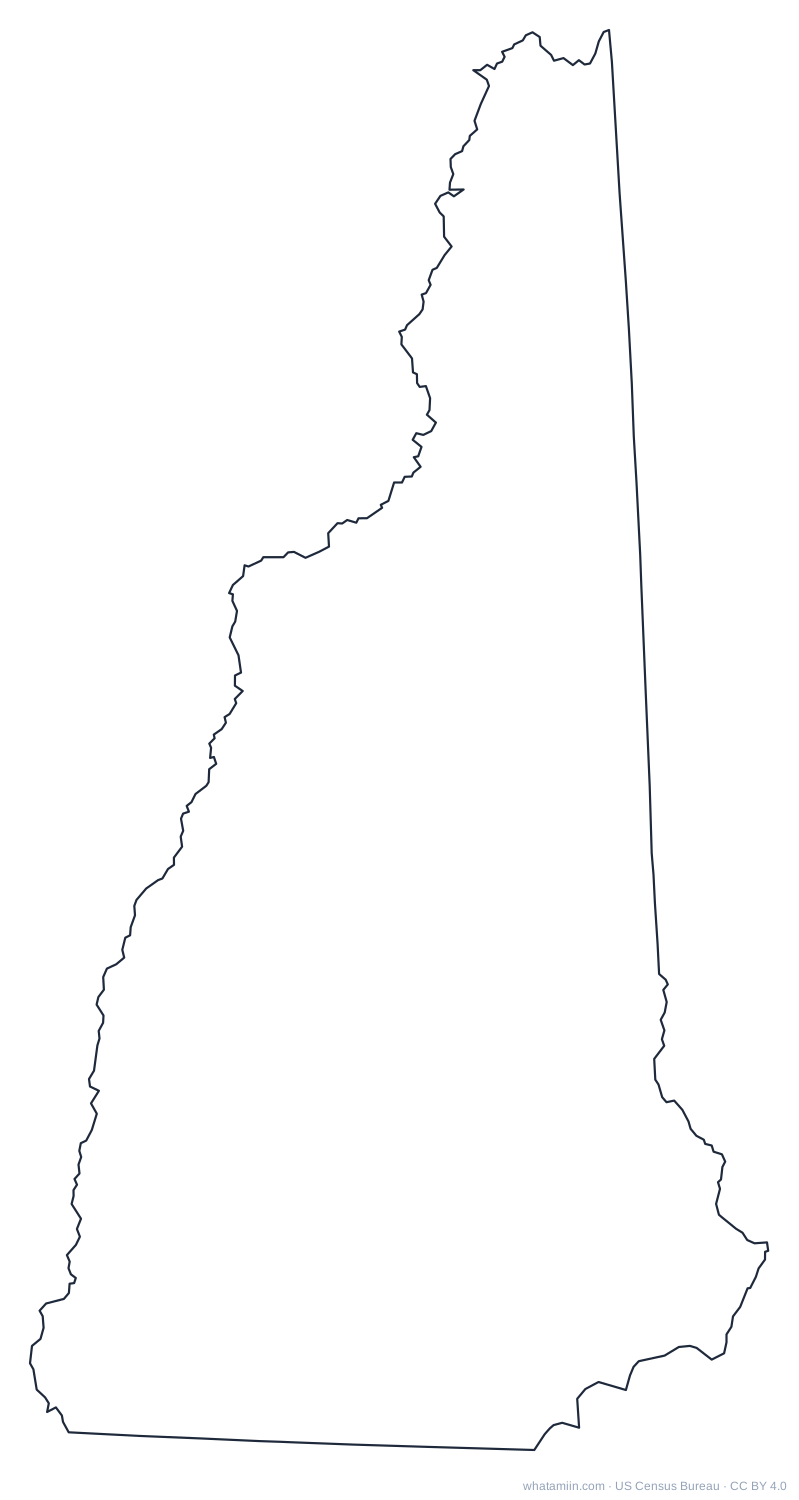 New HampshirePDF · PNG · SVG
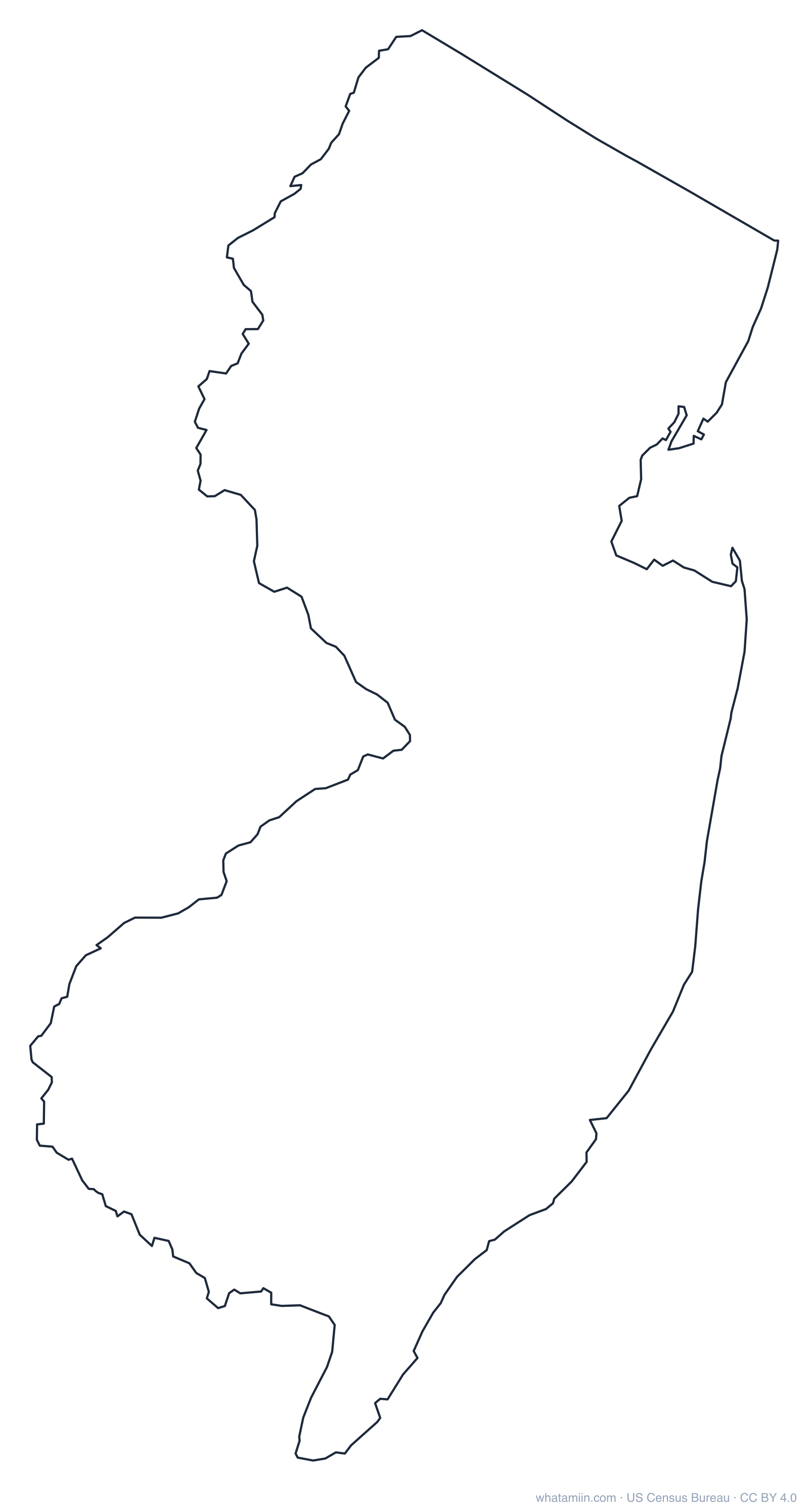
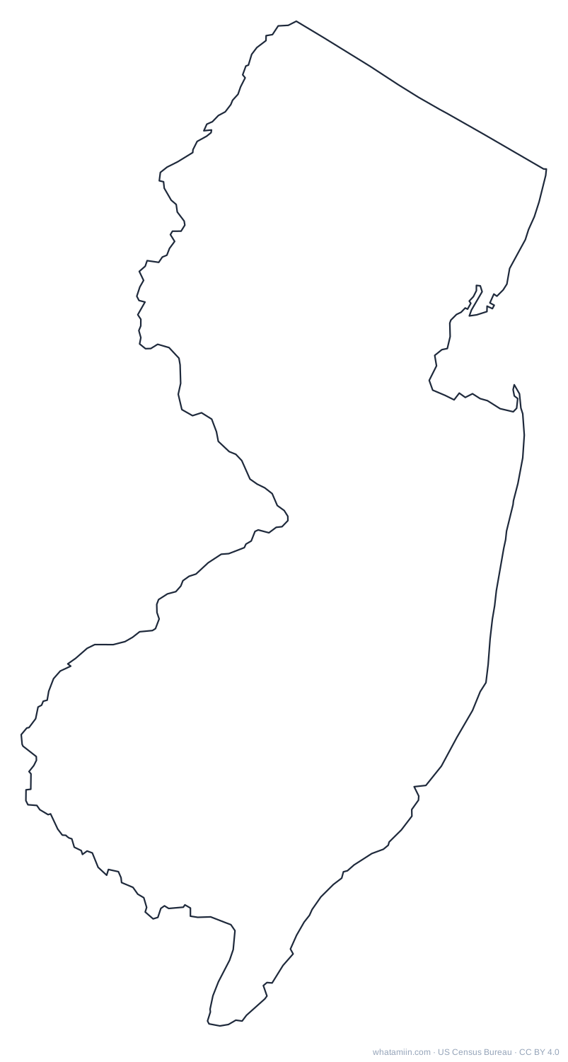 New JerseyPDF · PNG · SVG
 New MexicoPDF · PNG · SVG
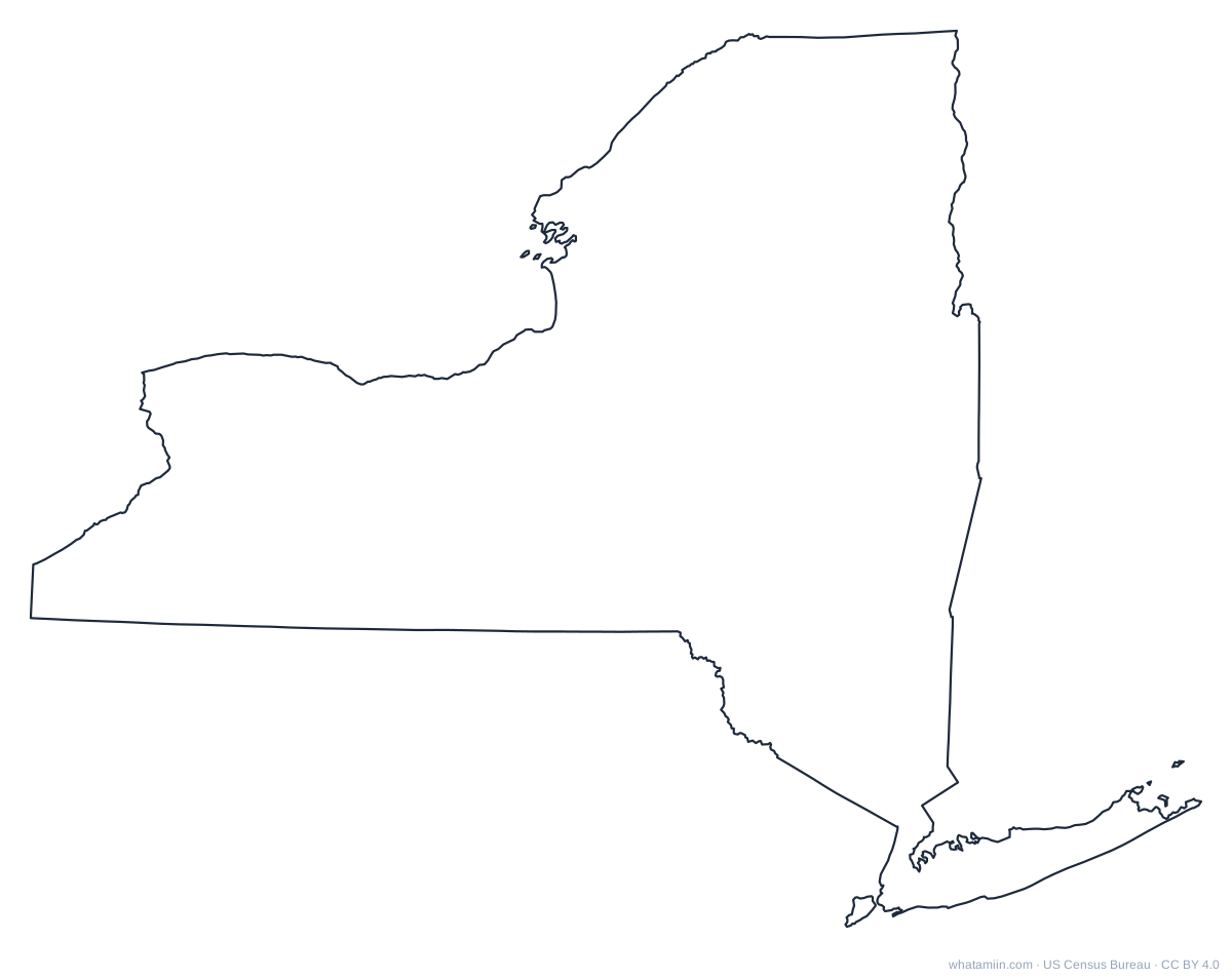 New YorkPDF · PNG · SVG
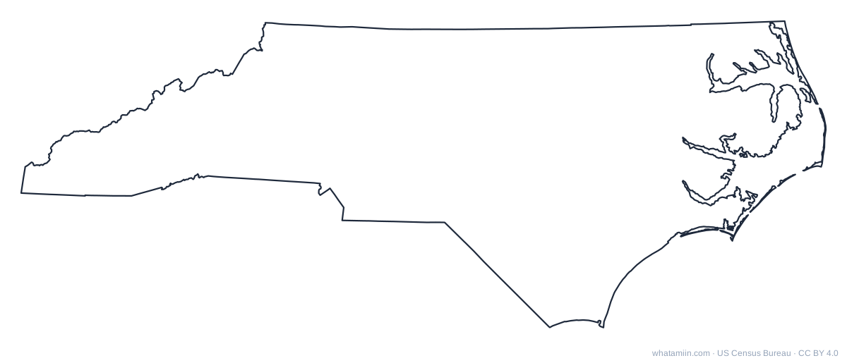 North CarolinaPDF · PNG · SVG
 North DakotaPDF · PNG · SVG
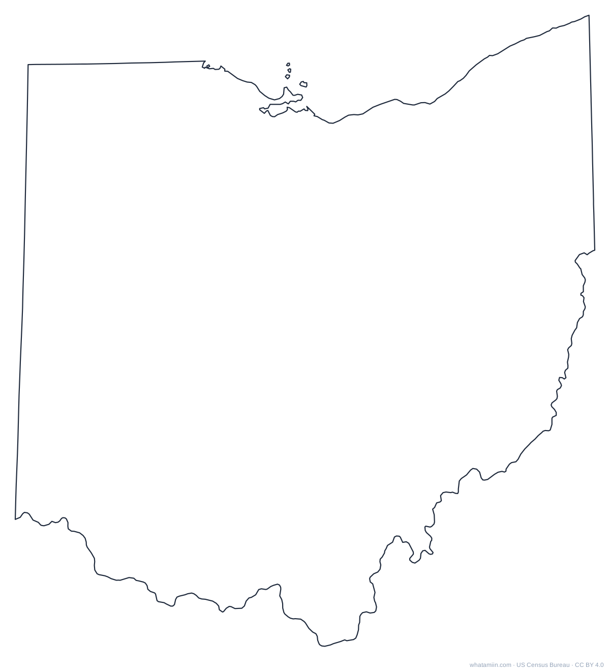 OhioPDF · PNG · SVG
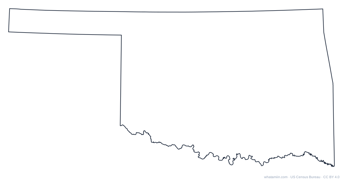 OklahomaPDF · PNG · SVG
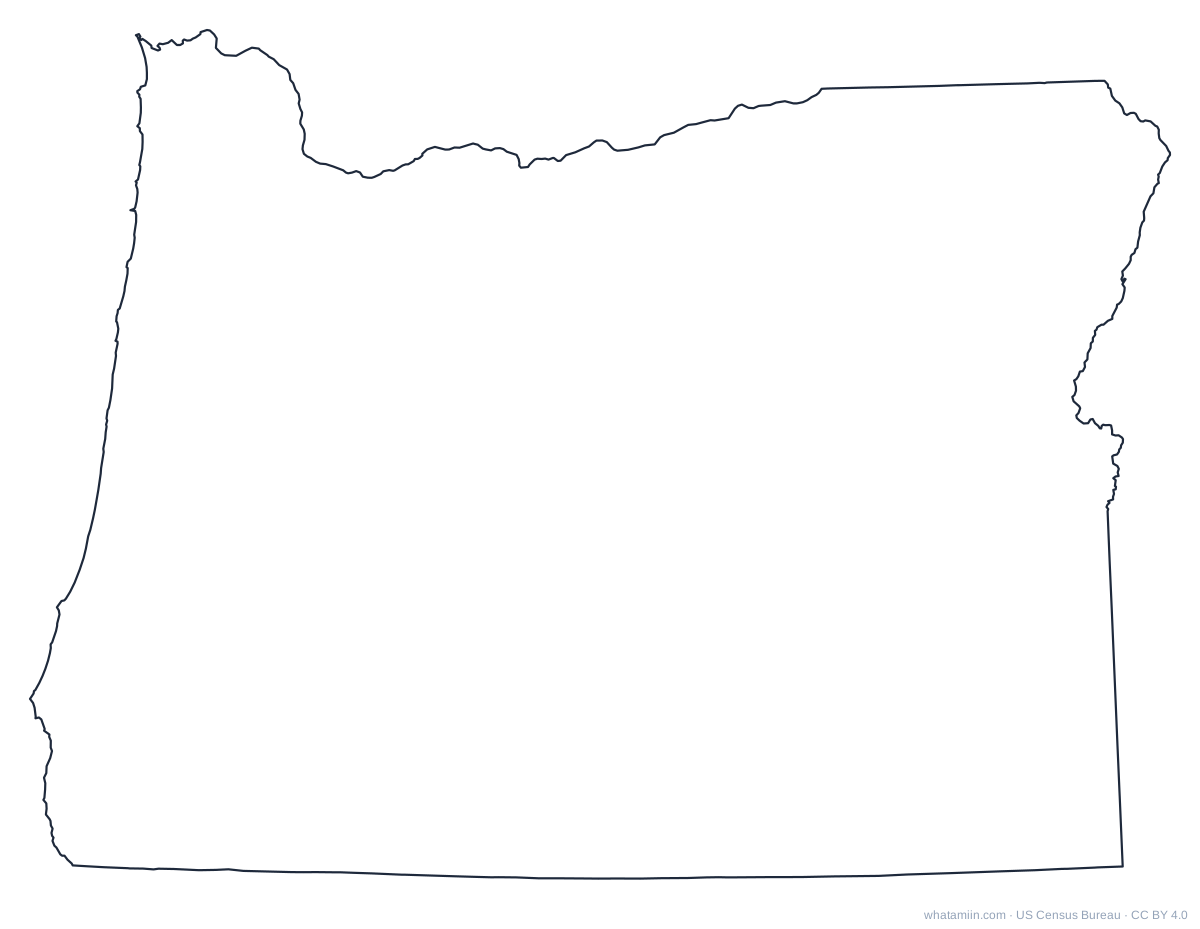 OregonPDF · PNG · SVG
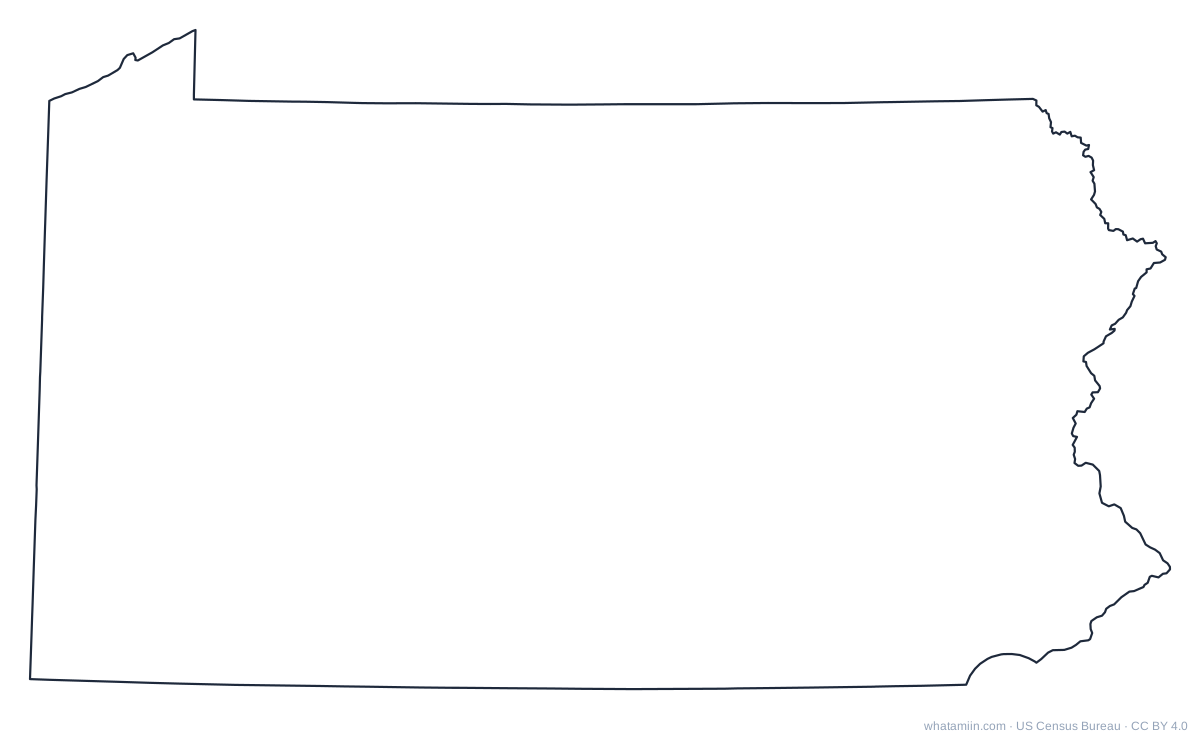 PennsylvaniaPDF · PNG · SVG
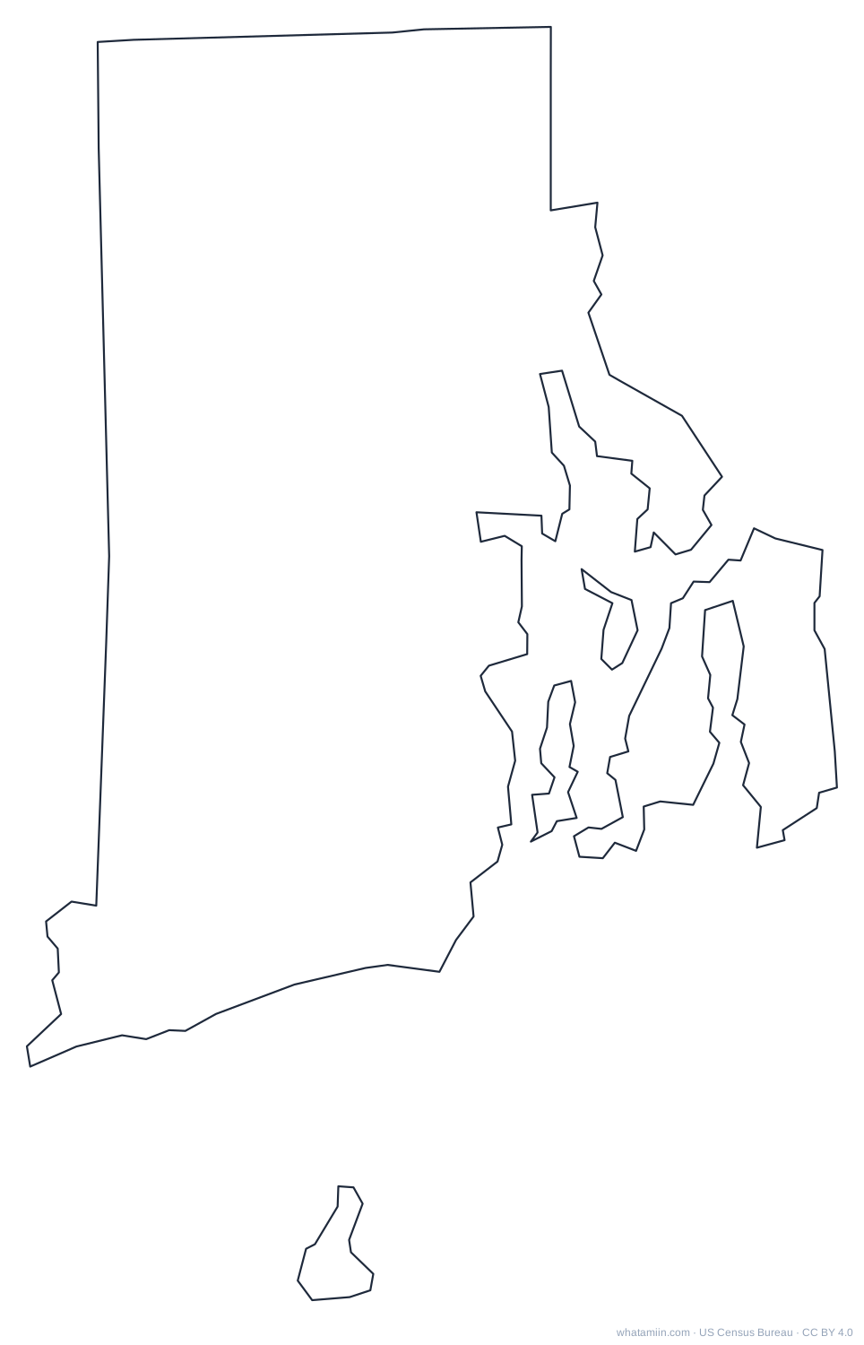 Rhode IslandPDF · PNG · SVG
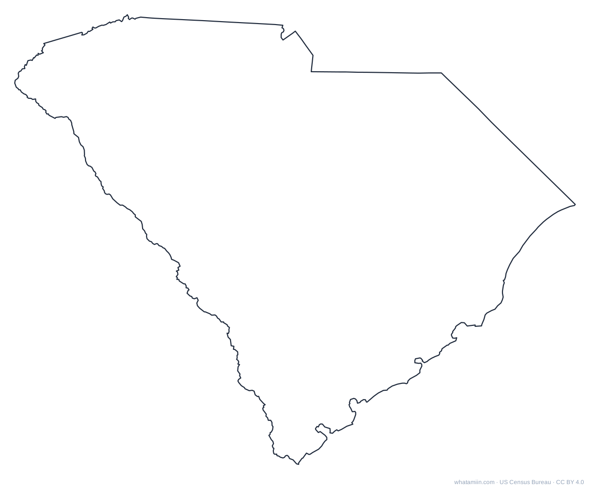 South CarolinaPDF · PNG · SVG
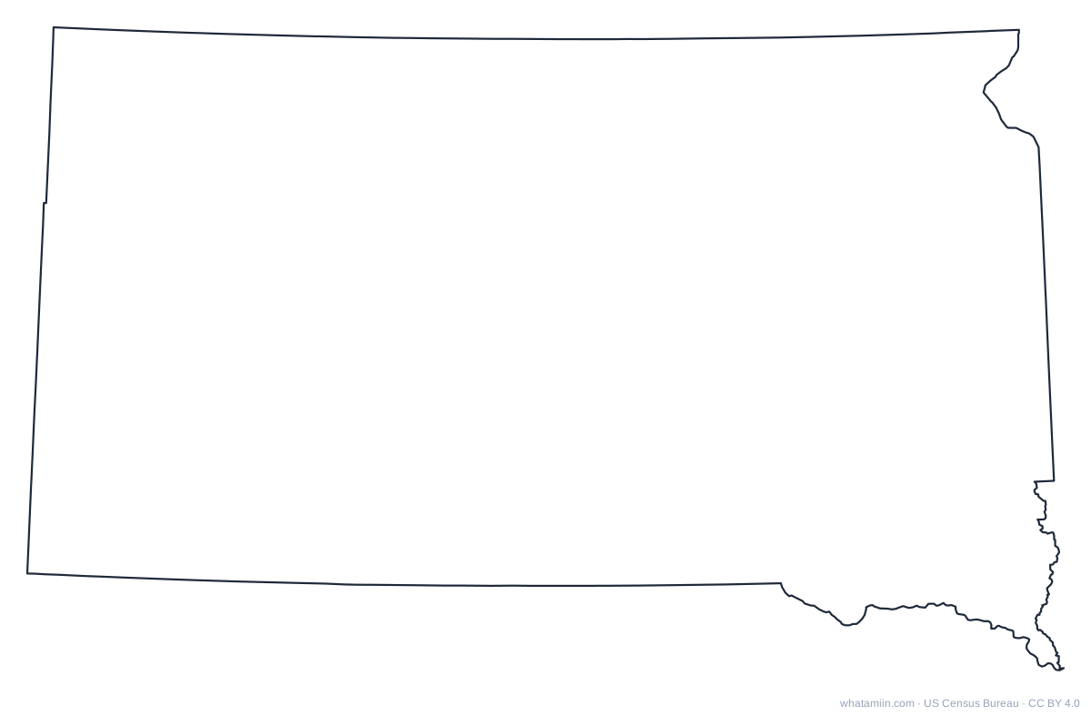 South DakotaPDF · PNG · SVG
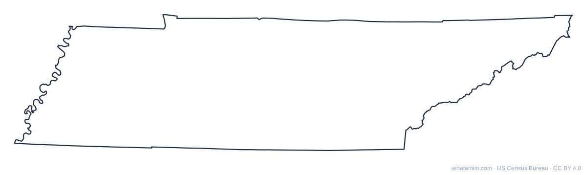 TennesseePDF · PNG · SVG
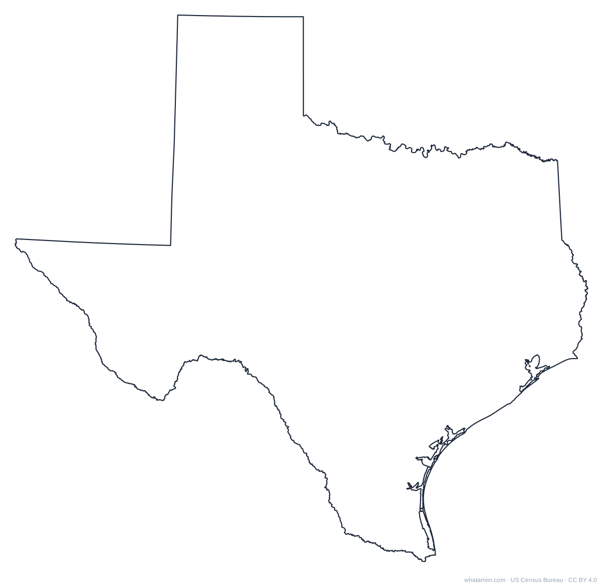 TexasPDF · PNG · SVG
 UtahPDF · PNG · SVG
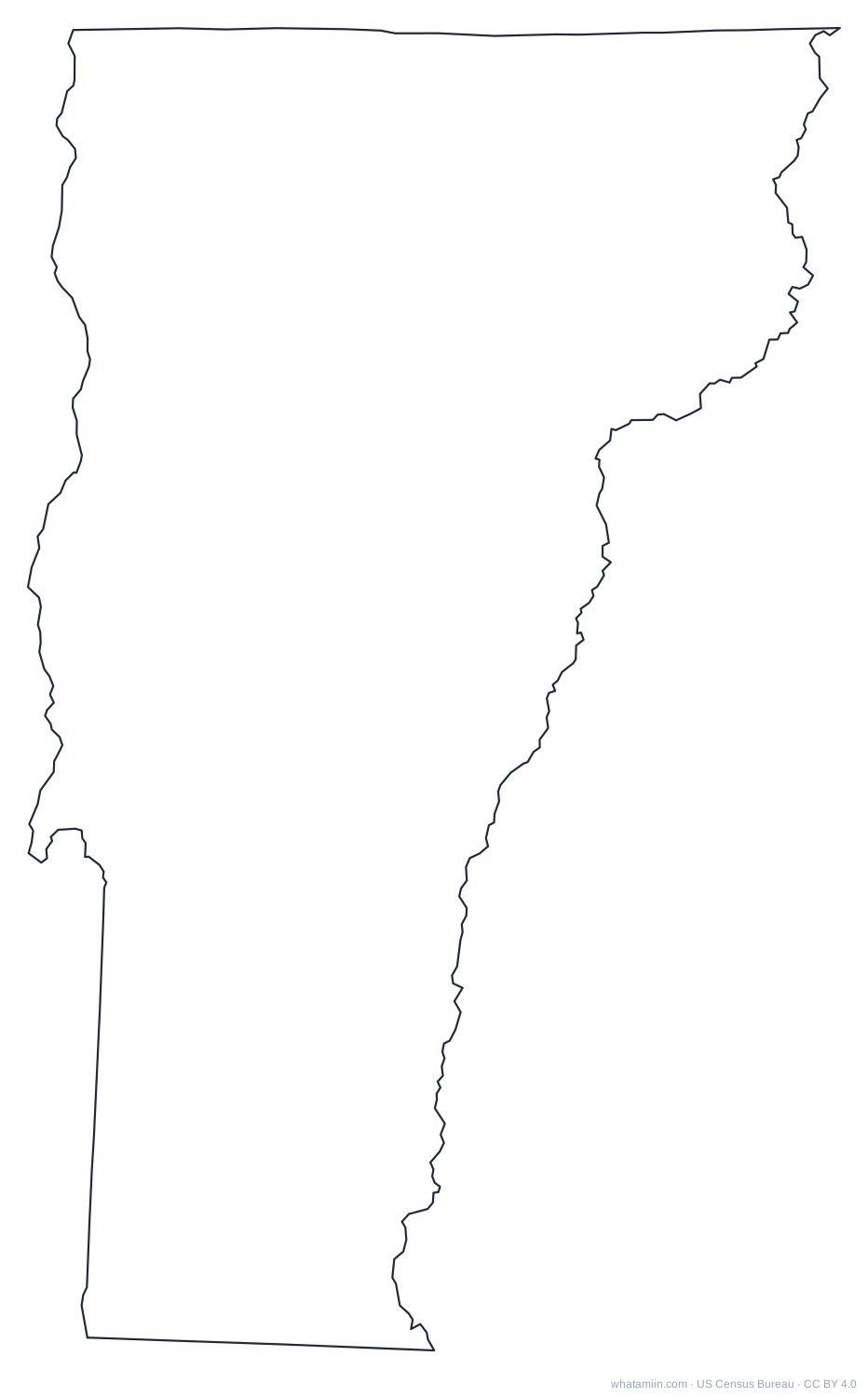 VermontPDF · PNG · SVG
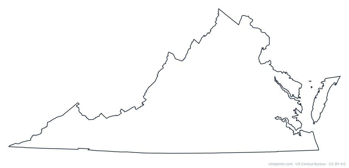 VirginiaPDF · PNG · SVG
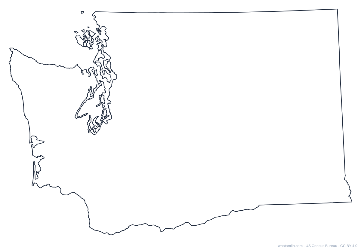 WashingtonPDF · PNG · SVG
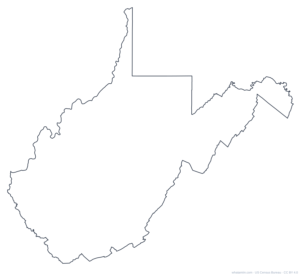 West VirginiaPDF · PNG · SVG
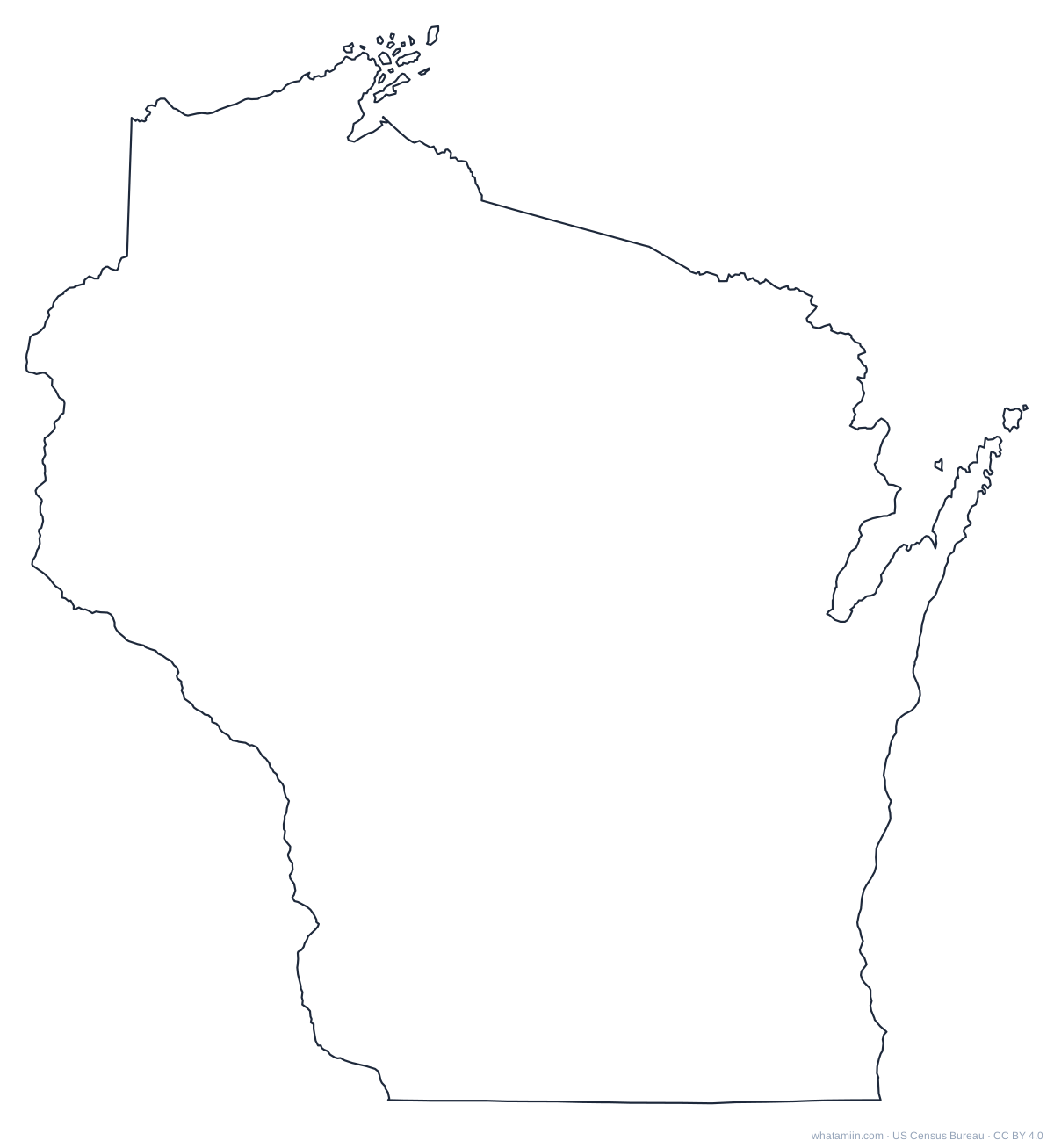 WisconsinPDF · PNG · SVG
 WyomingPDF · PNG · SVG








How to use the files
PDF prints at full page size. PNG is 1,600 pixels wide with a white background. SVG is a vector path you can import into Cricut Design Space, Silhouette Studio, Illustrator, Inkscape or Canva and resize without losing quality. For a whole-country version, see the blank US map. For a state with county lines, open its county map: each state name above links to it.
Free for any use, including commercial, under CC BY 4.0. Credit "whatamiin.com, US Census Bureau data".