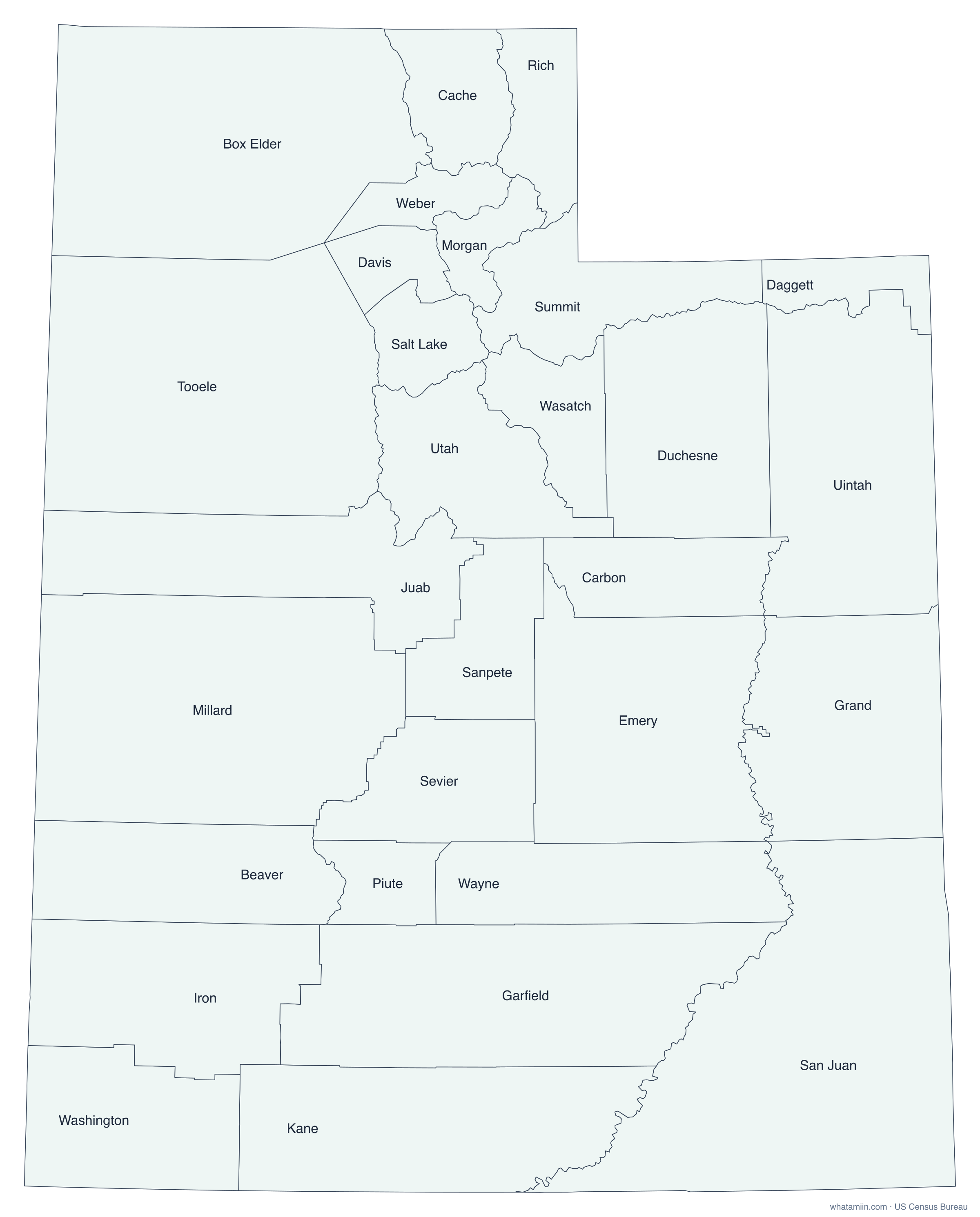
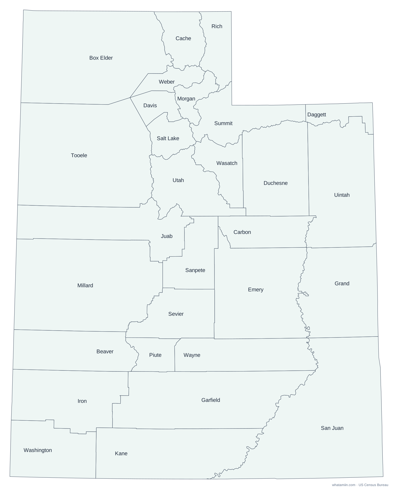
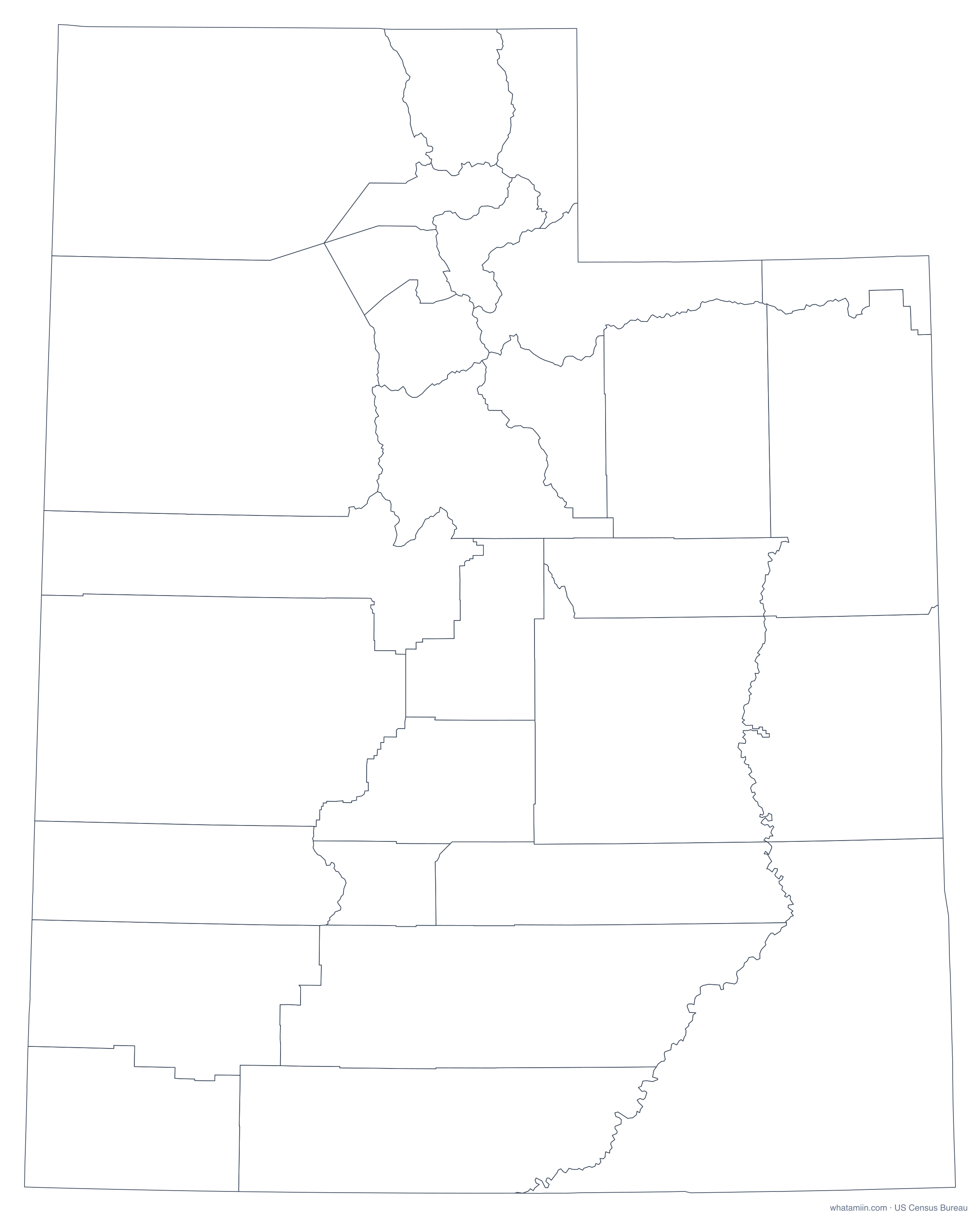
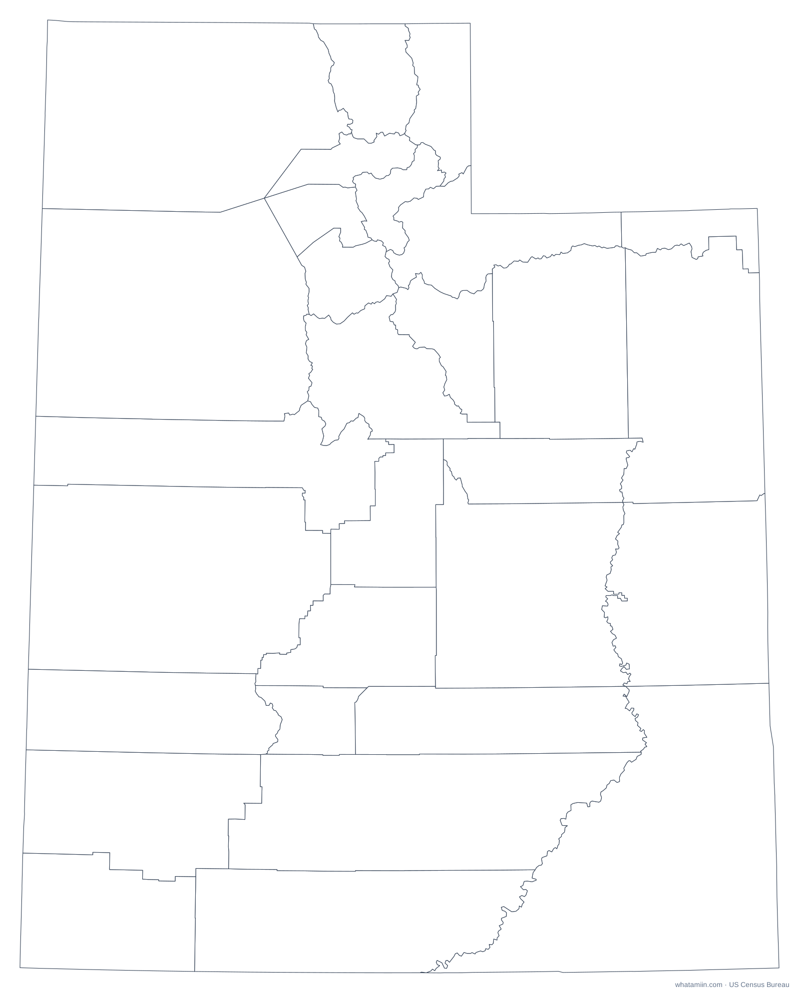
Utah has 29 counties. San Juan County, in the southeast corner around the Four Corners, is the largest by area, and Davis County, between Salt Lake City and Ogden, is the smallest. The populated Wasatch Front counties are compact, while counties in the desert south and west are large and follow long straight lines. The Great Salt Lake is shared by five counties.
Utah counties at a glance
| Number of counties | 29 |
|---|---|
| Most populous | Salt Lake County (1,216,274 people, 2024 estimate) |
| Least populous | Daggett County (956) |
| Largest by land area | San Juan County (7,824 sq mi) |
| Smallest by land area | Davis County (324.8 sq mi) |
| Fastest growing since 2020 | Tooele County (+16.2%) |
The three most populous counties hold 67% of Utah's 3,503,613 residents, while the median county has about 20,803 people. That spread is why a county map sized by area can look very different from where people actually live.
How this map was made
Boundaries come from the US Census Bureau's 2024 cartographic boundary files (1:500,000 scale), simplified for clear printing. Shapes are drawn in an equal-area projection centered on Utah, so counties keep their true relative sizes. Population figures are the Census Bureau's July 1, 2024 estimates.
Utah county profiles
Map, cities and ZIP codes for: Salt Lake County · Utah County
More for Utah: list of counties · ZIP code map · time zone
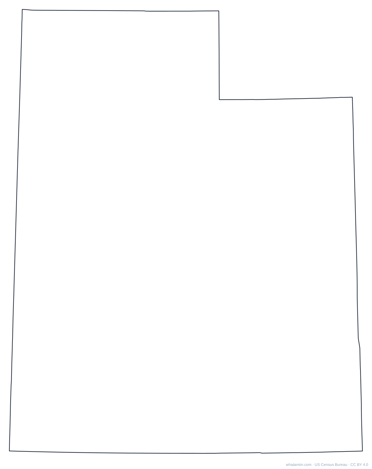
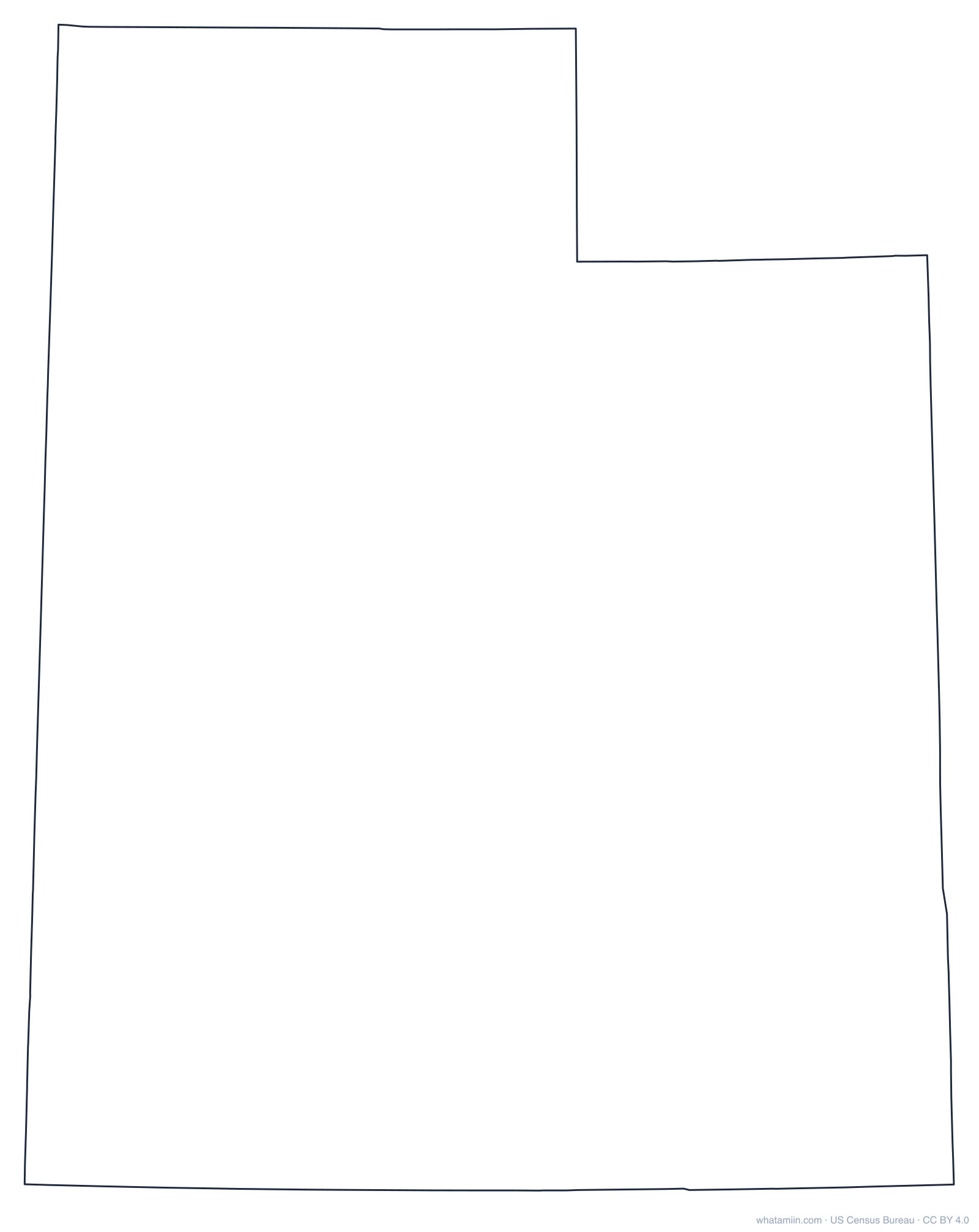
Utah outline
A blank outline of Utah with no county lines, for printing, tracing, crafts and cut files. See every state on the state outlines page or the blank US map.
Neighboring states
Arizona county map · Colorado county map · Idaho county map · Nevada county map · Wyoming county map