The edge of the midnight sun
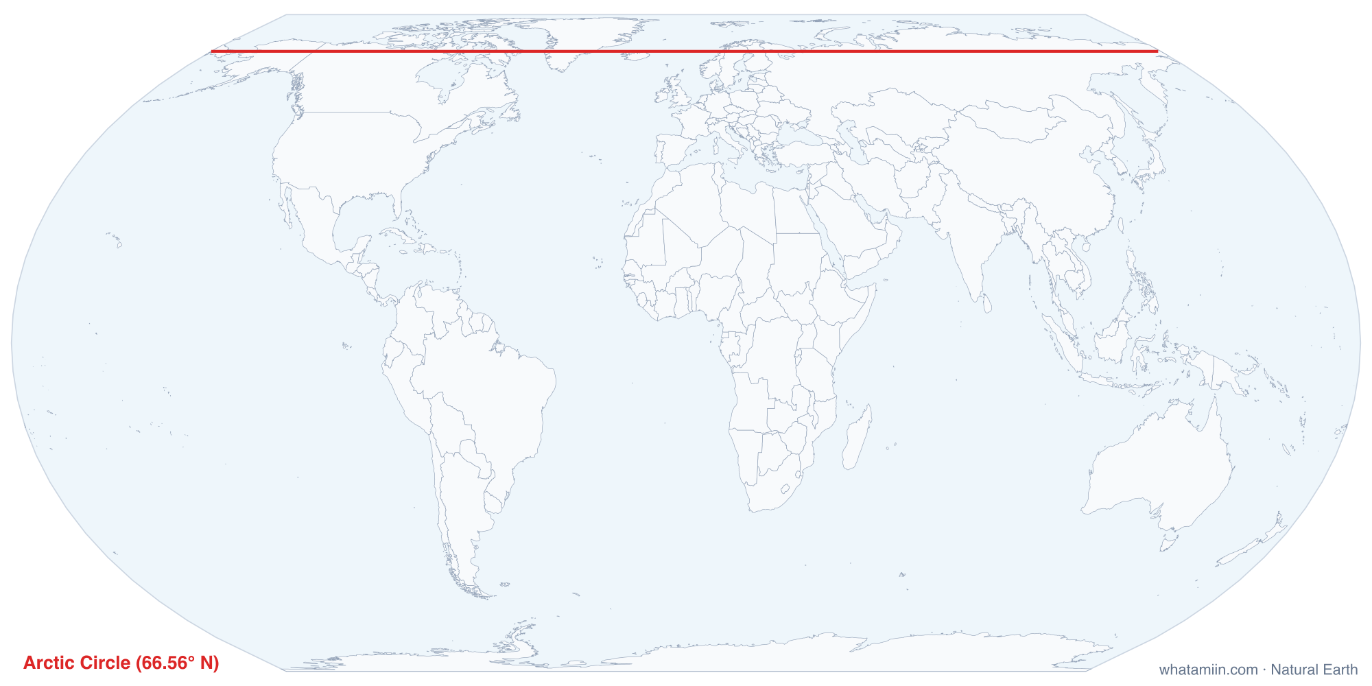
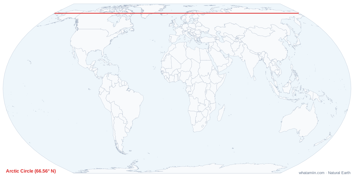
The Arctic Circle is the parallel at about 66.56° N. It marks the southern limit of the midnight sun and the polar night. Anywhere north of the line, there is at least one day around the June solstice when the sun never sets, and at least one day around the December solstice when it never rises. The farther north you go, the longer both periods last, up to six months each at the North Pole.
Its position comes from Earth's tilt. The axis leans about 23.4°, so the circle sits 23.4° from the pole, just as the Tropic of Cancer sits 23.4° from the equator. The tilt is slowly decreasing, which moves the Arctic Circle north by roughly 15 meters a year.
Countries on the line
The circle crosses eight countries. The country table on this page, computed from the map's boundary data, lists them in order; the summary below shows where each crossing falls, going east from Alaska.
| Country | Where the circle crosses |
|---|---|
| United States | Central Alaska, north of Fairbanks |
| Canada | Yukon, the Northwest Territories and Nunavut, including Baffin Island |
| Greenland (Denmark) | The western and eastern coasts and the ice sheet between |
| Iceland | Only the small island of Grímsey, off the north coast; the mainland lies just south |
| Norway, Sweden, Finland | Northern Scandinavia; the Finnish city of Rovaniemi sits close to the line |
| Russia | Across northern Siberia, from near the Finnish border to Chukotka |
Alaska and the Arctic Circle
Alaska is the only US state the circle crosses, and roughly a third of the state lies north of it. Fairbanks, at about 64.8° N, is south of the line. Drivers on the Dalton Highway, the road north toward Prudhoe Bay, pass a sign marking the circle. Towns north of it include Kotzebue, Bettles and Utqiagvik, the northernmost community in the US.
In Utqiagvik, at about 71.3° N, the sun does not set for roughly 80 days in early summer and does not rise for about two months in winter, from mid-November to late January. Even then the darkness is not total: for several hours around midday, twilight lights the southern sky.
Midnight sun at the line itself
Exactly at the circle, the theory says one day of each. In practice, the atmosphere bends sunlight enough to lift the sun's image by a little more than its own width. So a traveler standing on the line sees the midnight sun for several days around the June solstice, and on the December solstice still catches a brief glimpse of the sun at noon. True polar night starts somewhat farther north.
How far are you from it?
Each degree of latitude is about 69 miles (111 km), so the distance to the circle depends only on how far north you are. From Anchorage, near 61.2° N, it is about 370 miles north; from Chicago, about 1,700 miles. The tool computes the figure from your exact location, and what are my coordinates shows your latitude.