The northern edge of the tropics
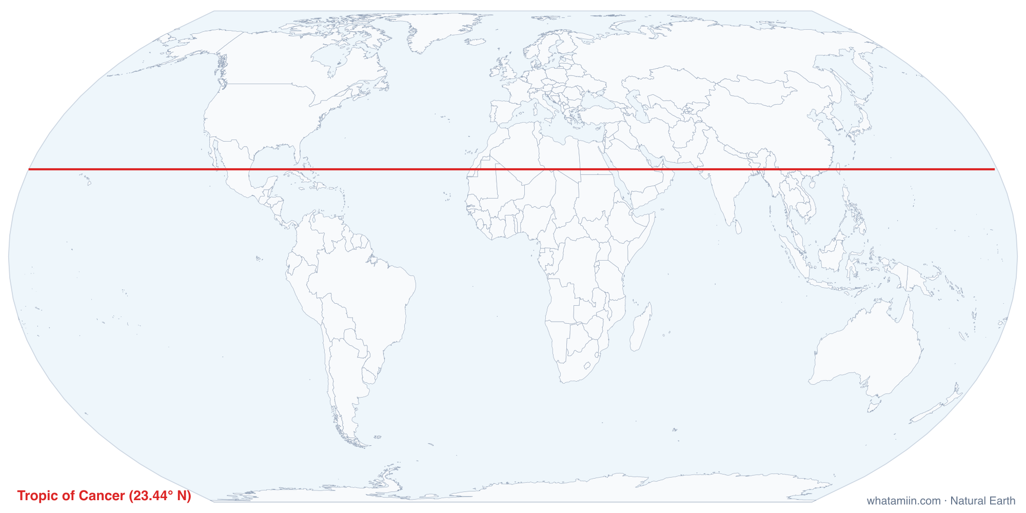
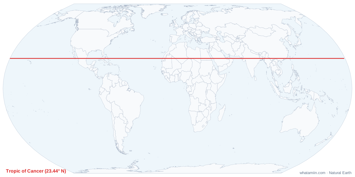
The Tropic of Cancer is the parallel at about 23.4° north of the equator. It is the farthest north that the sun ever stands directly overhead. On the June solstice, around June 20 or 21, the noon sun is at the zenith everywhere along the line. North of it, the sun never reaches straight overhead; south of it, down to the Tropic of Capricorn, it does on two days each year. The belt between the two tropics is what geographers mean by the tropics.
A line that moves
The tropic's latitude equals the tilt of Earth's axis, which is not fixed. The tilt swings between about 22.1° and 24.5° over a cycle of roughly 41,000 years and is now slowly decreasing. As a result, the Tropic of Cancer is drifting south by around 15 meters a year. Today it lies near 23°26′ N. Monuments built on the line years ago, in Mexico, Taiwan and elsewhere, now sit slightly north of it.
Countries on the line
The table lists every country the tropic crosses, west to east, computed from the map's boundary data. In the Americas it runs across Mexico, crossing the southern tip of Baja California and the mainland near Mazatlán, then through the Bahamas. In Africa and Arabia it crosses the Sahara and the Arabian Desert, part of a band of subtropical deserts that lie near this latitude in both hemispheres. In Asia it runs through India, Bangladesh, Myanmar and southern China, and across Taiwan.
The United States and the tropic
The line does not cross any US land, but it comes close in two places:
- Florida: Key West, near 24.5° N, is the southernmost point of the lower 48, about 75 miles north of the tropic. The line runs across the Straits of Florida, just off the north coast of Cuba.
- Hawaii: the tropic runs through Papahānaumokuākea, the chain of small islands northwest of Kauai, passing between Nihoa and Mokumanamana. Honolulu and all the main islands are south of it, inside the tropics.
Puerto Rico, the US Virgin Islands, Guam, the Northern Mariana Islands and American Samoa all lie within the tropics too.
How far are you from it?
Because the tropic is a parallel of latitude, the shortest route to it runs due north or south, and every degree of latitude is about 69 miles (111 km). Someone in Miami, near 25.8° N, is about 160 miles north of the line; someone in Chicago, near 41.9° N, is about 1,270 miles north. The tool works it out from your exact position, or you can look up your latitude on what are my coordinates. Its southern twin is the Tropic of Capricorn, and the Arctic Circle sits the same angle from the North Pole.