What the equator is
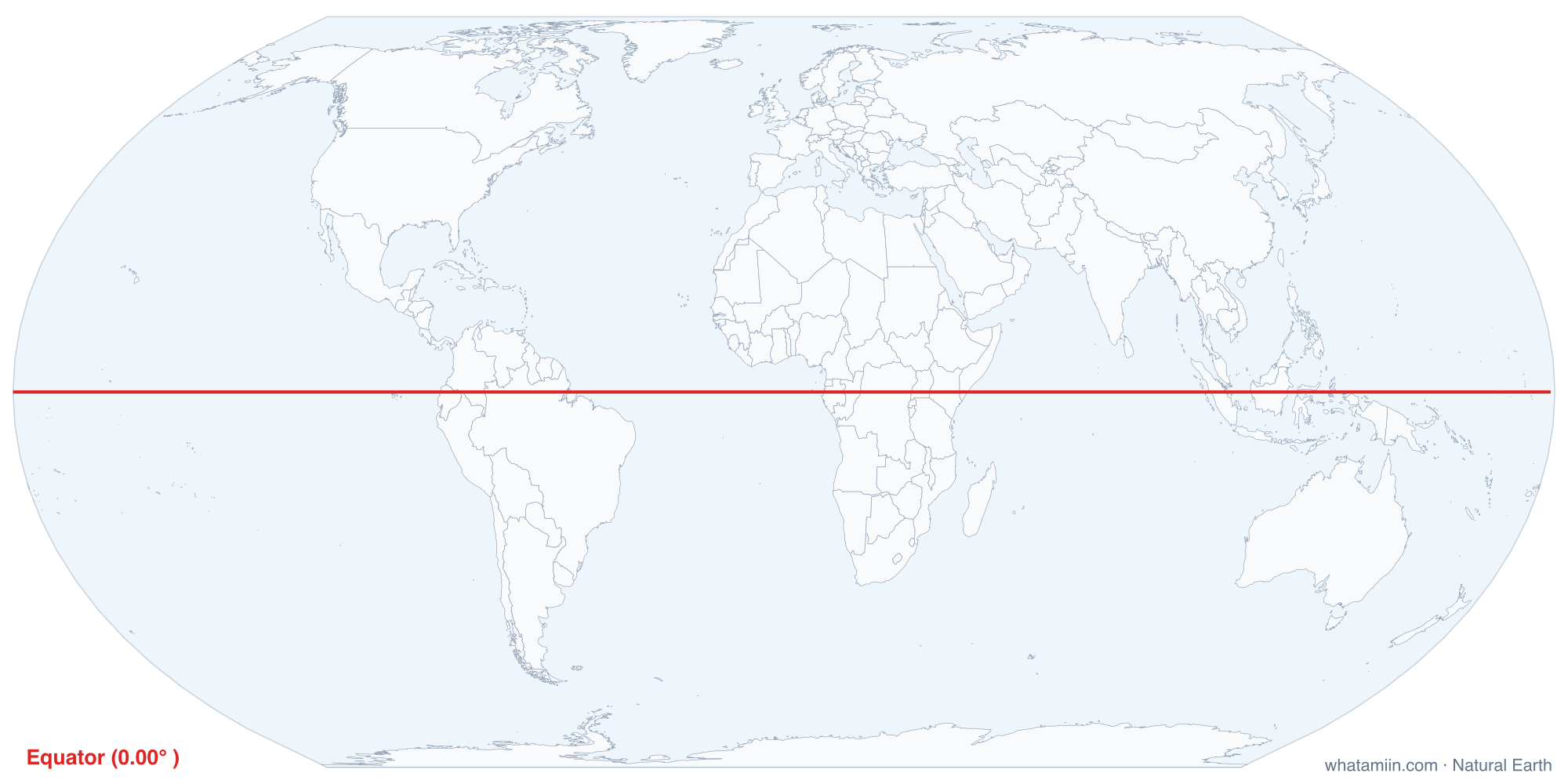
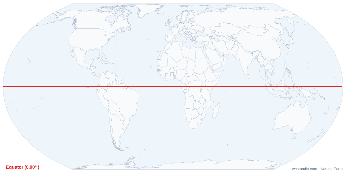
The equator is the line of 0° latitude, the circle around Earth that sits exactly halfway between the North and South poles. It splits the planet into the Northern and Southern hemispheres. Every other parallel of latitude is measured from it, up to 90° at each pole.
Because Earth is slightly flattened, the equator is its widest circle. It runs about 40,075 km (24,901 miles) around, compared with about 40,008 km for a circle through both poles. That bulge has a curious result: the summit of Chimborazo in Ecuador, close to the equator, is the point on Earth's surface farthest from the planet's center, even though Everest stands higher above sea level.
Countries on the line
The table on this page lists every country the equator crosses, west to east, computed from the map's boundary data. Most of the line runs over open ocean. On land it passes through northern South America, central Africa and the islands of Indonesia, with long Pacific stretches broken only by small atolls. Ecuador takes its name from the line, which is the Spanish word for equator.
Sun, seasons and day length
- Day length: close to 12 hours every day of the year. The difference between the longest and shortest day is only a few minutes.
- Overhead sun: the noon sun is directly overhead around the March and September equinoxes and never far from overhead the rest of the year.
- Seasons: temperature changes little through the year. Many equatorial places mark seasons by rainfall instead, with wetter and drier months.
Why the equator is not the hottest place
The equator receives more sunlight over a year than anywhere else, but it does not hold the heat records. Warm, moist air rises there, forming the clouds and frequent rain of a belt meteorologists call the Intertropical Convergence Zone. Cloud cover and evaporation keep daytime highs in the low 30s °C (around 90 °F) in many equatorial cities. The hottest air temperatures ever measured come from dry subtropical deserts, where clear skies let the ground bake. Death Valley, at about 36° N, holds the official world record of 56.7 °C (134 °F), set in 1913.
The United States and the equator
All 50 states are in the Northern Hemisphere. Hawaii comes closest: its southern tip, Ka Lae, sits near 18.9° N. In the lower 48, Key West is about 24.5° N. Some US territories lie farther south. American Samoa is in the Southern Hemisphere, and the uninhabited Jarvis Island lies just south of the line.
How the distance is measured
Distance to the equator depends only on latitude, because the shortest path to it runs straight north or south. One degree of latitude is about 69 miles or 111 km, so a city at 40° N is roughly 2,760 miles from the line. The tool uses your exact coordinates; get them from what are my coordinates. For the other key parallels, see the Tropic of Cancer, Tropic of Capricorn and Arctic Circle maps.