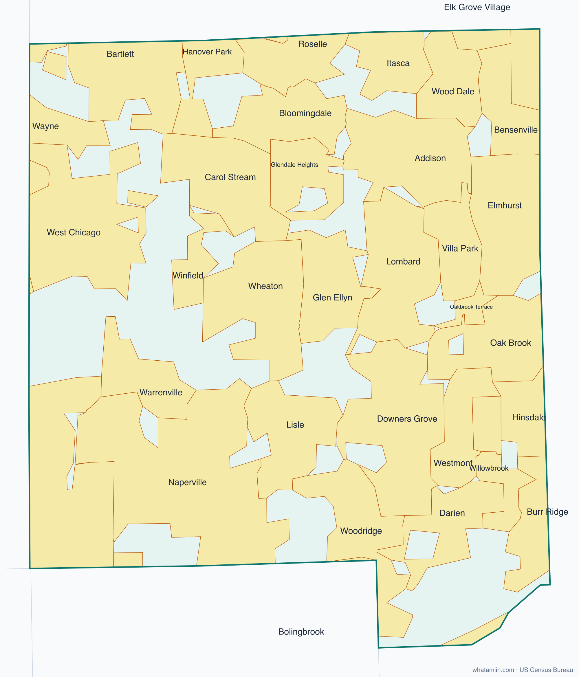
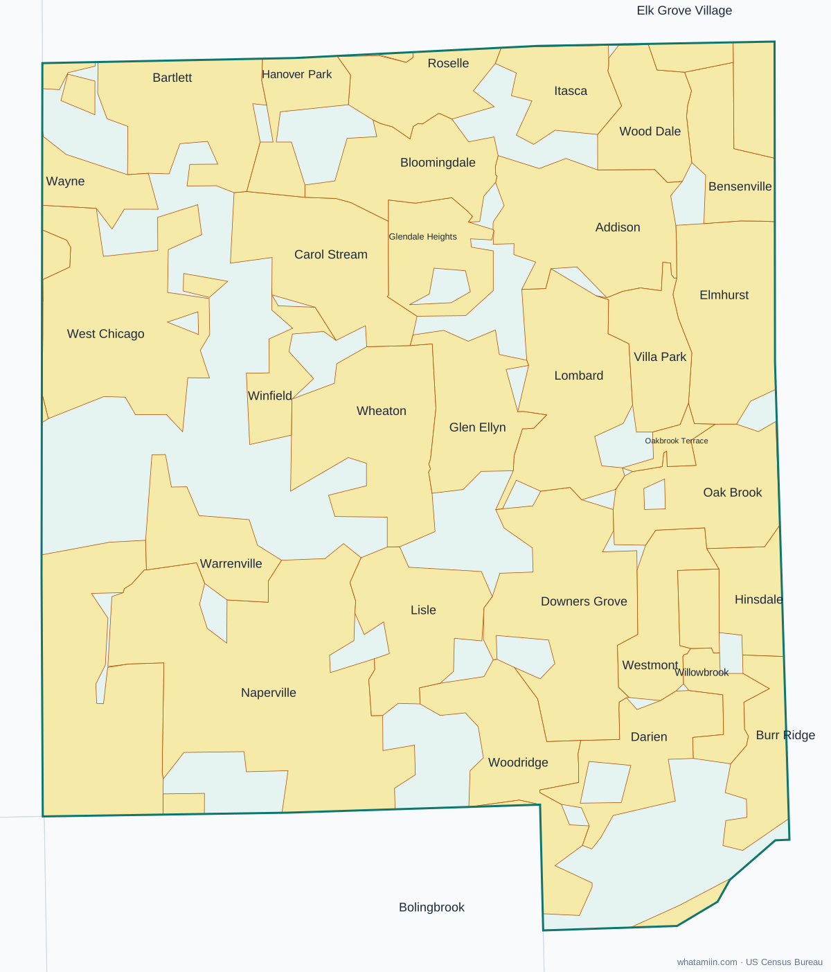
DuPage County at a glance
| County seat | Wheaton |
|---|---|
| Population (2024) | 937,142 · 2nd of 102 in Illinois |
| Change since 2020 | +0.4% |
| Land area | 328 sq mi |
| Density | 2,859 people per sq mi |
| Time zone | Central |
| Elevation | 600 ft to 840 ft (median 741 ft) |
| FIPS code | 17043 |
Cities and towns in DuPage County
39 incorporated cities, towns and villages have land in DuPage County, led by Naperville with 100,751 residents inside the county. The rest of the county's people live in unincorporated areas, which the county governs directly.
| City or town | Population in county (2024) |
|---|---|
| Naperville | 100,751 |
| Wheaton | 53,741 |
| Aurora | 52,486 |
| Downers Grove | 50,552 |
| Elmhurst | 46,098 |
| Lombard | 44,490 |
| Carol Stream | 39,556 |
| Addison | 35,728 |
| Woodridge | 34,078 |
| Glendale Heights | 32,866 |
| Glen Ellyn | 28,872 |
| West Chicago | 25,469 |
| Westmont | 24,308 |
| Bartlett | 23,784 |
| Lisle | 23,548 |
| Bloomingdale | 22,622 |
| Villa Park | 22,020 |
| Darien | 22,015 |
| Roselle | 18,994 |
| Bensenville | 18,629 |
| Hanover Park | 17,263 |
| Hinsdale | 15,247 |
| Warrenville | 15,247 |
| Wood Dale | 13,983 |
| Winfield | 10,199 |
| Itasca | 9,506 |
| Willowbrook | 9,179 |
| Clarendon Hills | 8,703 |
| Oak Brook | 8,178 |
| Burr Ridge | 6,896 |
| Oakbrook Terrace | 2,729 |
| Wayne | 1,513 |
| Bolingbrook | 1,491 |
| St. Charles | 609 |
| Lemont | 5 |
| Chicago | 0 |
| Elk Grove Village | 0 |
| Schaumburg | 0 |
| Batavia | 0 |
Townships and county subdivisions
Addison township, Bloomingdale township, Chicago city, Downers Grove township, Lisle township, Milton township, Naperville township, Wayne township, Winfield township, York township
ZIP codes in DuPage County
43 ZIP code areas include land in DuPage County. 6 of them lie mostly in a neighboring county.
Mostly in DuPage County: 60101, 60103, 60106, 60108, 60126, 60133, 60137, 60139, 60143, 60148, 60157, 60172, 60181, 60184, 60185, 60187, 60188, 60189, 60190, 60191, 60502, 60504, 60514, 60515, 60516, 60517, 60519, 60521, 60523, 60527, 60532, 60540, 60555, 60559, 60561, 60563, 60565
Partly in DuPage County: 60007, 60174, 60439, 60440, 60510, 60564
Neighboring counties
Cook County · Kane County · Kendall County · Will County
See every county on the Illinois county map or in the list of Illinois counties, or find ZIP areas on the Illinois ZIP code map. To check which county an exact address is in, use what county am I in.
More Illinois county profiles: Cook County · Lake County · Will County