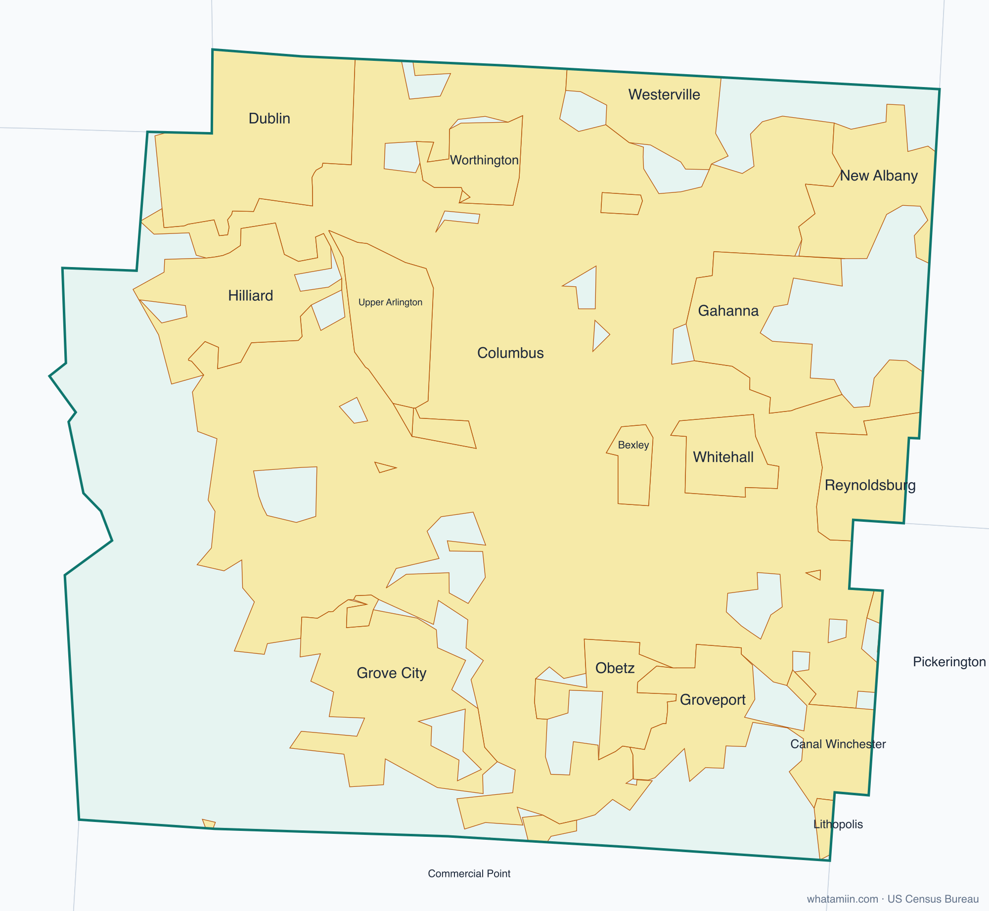
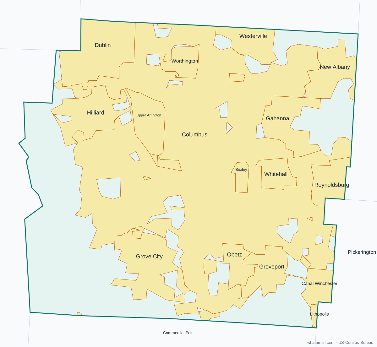
Franklin County at a glance
| County seat | Columbus |
|---|---|
| Population (2024) | 1,356,303 · 1st of 88 in Ohio |
| Change since 2020 | +2.5% |
| Land area | 532 sq mi |
| Density | 2,548 people per sq mi |
| Time zone | Eastern |
| Elevation | 548 ft to 1,096 ft (median 846 ft) |
| FIPS code | 39049 |
Cities and towns in Franklin County
27 incorporated cities, towns and villages have land in Franklin County, led by Columbus with 905,883 residents inside the county. The rest of the county's people live in unincorporated areas, which the county governs directly.
| City or town | Population in county (2024) |
|---|---|
| Columbus | 905,883 |
| Grove City | 44,019 |
| Dublin | 40,731 |
| Hilliard | 38,832 |
| Upper Arlington | 36,140 |
| Gahanna | 35,544 |
| Reynoldsburg | 30,771 |
| Westerville | 29,250 |
| Whitehall | 19,940 |
| Worthington | 14,649 |
| Bexley | 12,793 |
| New Albany | 11,317 |
| Grandview Heights | 9,184 |
| Canal Winchester | 8,271 |
| Obetz | 7,306 |
| Groveport | 5,867 |
| Minerva Park | 1,961 |
| Urbancrest | 1,013 |
| Marble Cliff | 663 |
| Valleyview | 653 |
| Riverlea | 580 |
| Harrisburg | 314 |
| Lockbourne | 232 |
| Brice | 101 |
| Pickerington | 75 |
| Lithopolis | 51 |
| Commercial Point | 0 |
Townships and county subdivisions
Bexley city, Blendon township, Brown township, Clinton township, Columbus city, Franklin township, Grandview Heights city, Hamilton township, Jackson township, Jefferson township, Madison township, Marble Cliff village, Mifflin township, Norwich township, Perry township, Plain township, Pleasant township, Prairie township, Sharon township, Truro township, Upper Arlington city, Washington township, Westerville city, Whitehall city
ZIP codes in Franklin County
50 ZIP code areas include land in Franklin County. 8 of them lie mostly in a neighboring county.
Mostly in Franklin County: 43002, 43004, 43016, 43017, 43026, 43054, 43081, 43085, 43109, 43119, 43123, 43125, 43126, 43201, 43202, 43203, 43204, 43205, 43206, 43207, 43209, 43210, 43211, 43212, 43213, 43214, 43215, 43217, 43218, 43219, 43220, 43221, 43222, 43223, 43224, 43227, 43228, 43229, 43230, 43231, 43232, 43235
Partly in Franklin County: 43064, 43065, 43068, 43110, 43137, 43140, 43146, 43147
Neighboring counties
Delaware County · Fairfield County · Licking County · Madison County · Pickaway County · Union County
See every county on the Ohio county map or in the list of Ohio counties, or find ZIP areas on the Ohio ZIP code map. To check which county an exact address is in, use what county am I in.
More Ohio county profiles: Cuyahoga County · Hamilton County