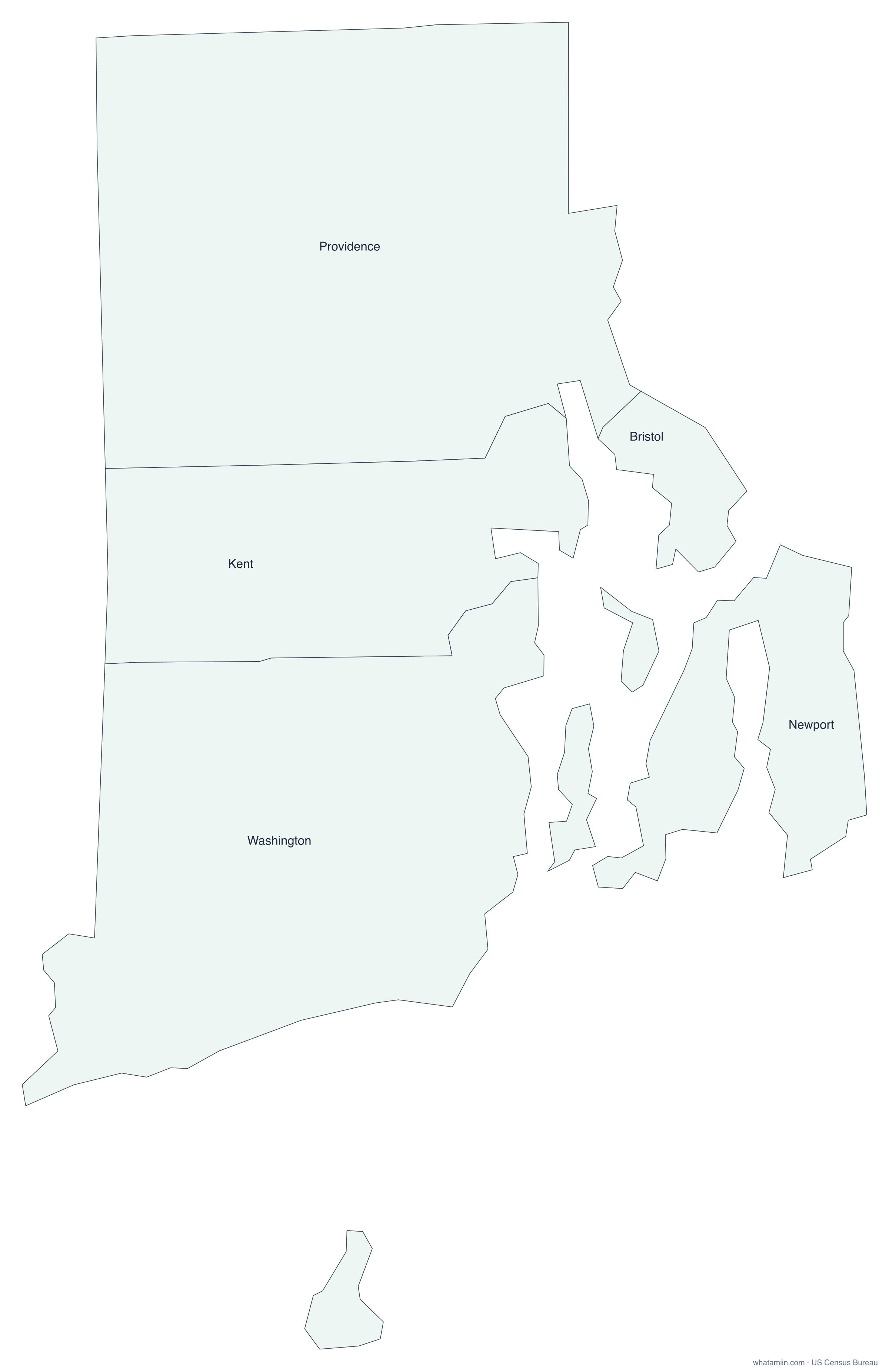
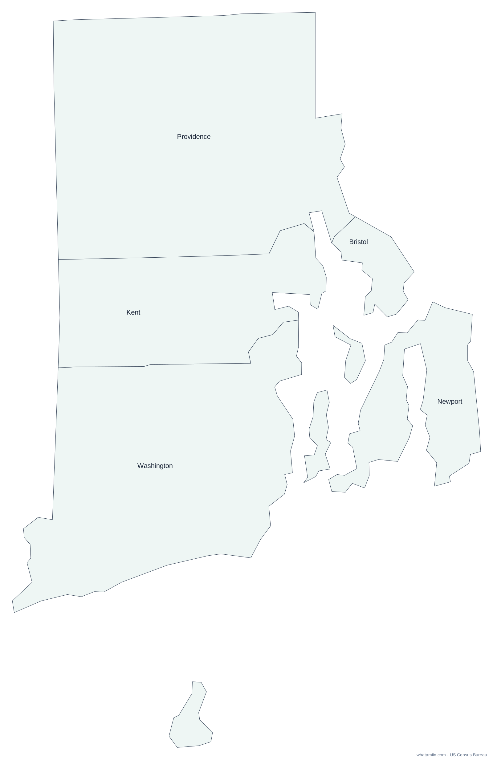
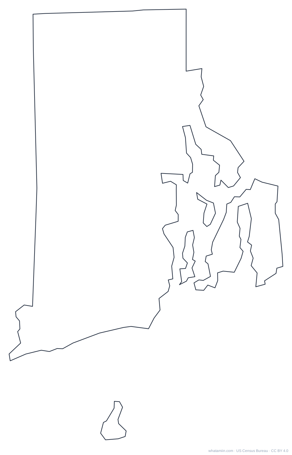
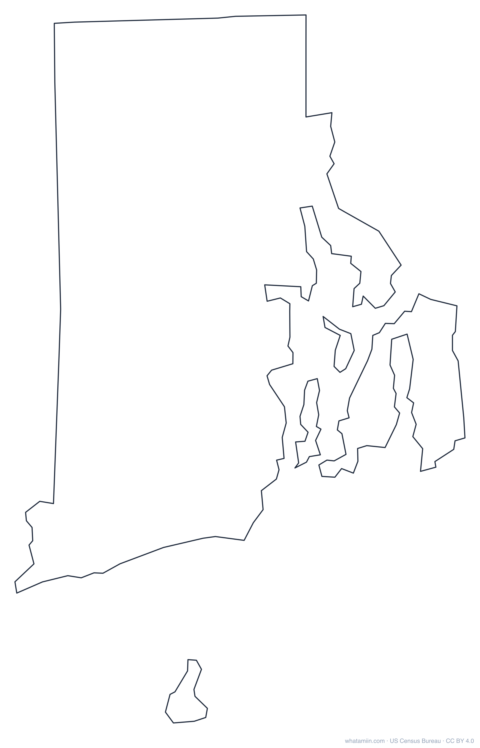
PNG is 2,400 px wide for printing. SVG scales without blurring and opens in Illustrator, Inkscape or Google Slides. Free to use for any purpose with the credit "whatamiin.com, US Census Bureau data".
Find the county for an address in Rhode Island
Your location stays in your browser. Typed addresses are matched by the US Census Geocoder.
Rhode Island has five counties, Bristol, Kent, Newport, Providence and Washington, but none has had a county government since 1842. They survive as geographic areas used for courts and statistics, and every function is handled by the state or the 39 cities and towns. Providence County is the largest by area, and Bristol County is the smallest. Washington County is often called South County.
Rhode Island counties at a glance
Number of counties
5
Most populous
Providence County (675,912 people, 2024 estimate)
Least populous
Bristol County (50,145)
Largest by land area
Providence County (410 sq mi)
Smallest by land area
Bristol County (24.1 sq mi)
Fastest growing since 2020
Providence County (+2.3%)
The three most populous counties hold 88% of Rhode Island's 1,112,308 residents, while the median county has about 130,333 people. That spread is why a county map sized by area can look very different from where people actually live.
How this map was made
Boundaries come from the US Census Bureau's 2024 cartographic boundary files (1:500,000 scale), simplified for clear printing. Shapes are drawn in an equal-area projection centered on Rhode Island, so counties keep their true relative sizes. Population figures are the Census Bureau's July 1, 2024 estimates.
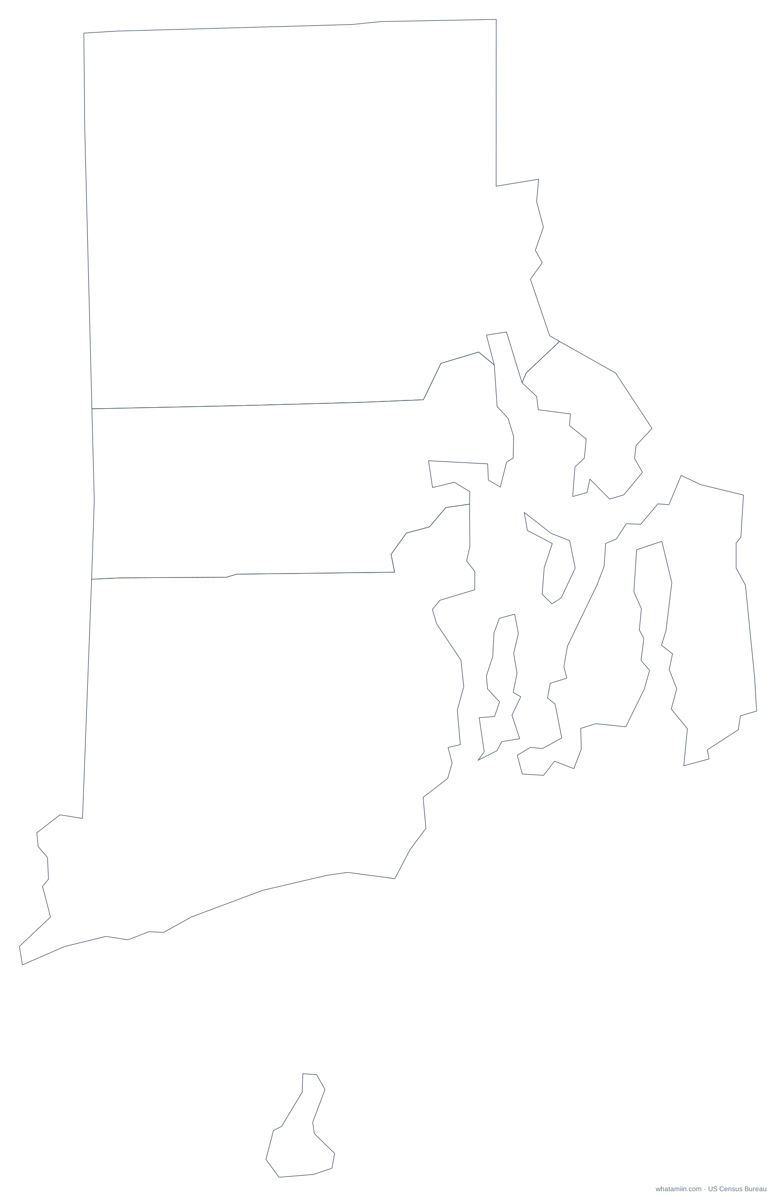
A blank outline of Rhode Island with no county lines, for printing, tracing, crafts and cut files. See every state on the state outlines page or the blank US map.
Rhode Island has 5 counties (Census Bureau count of counties and county-equivalents, 2024). The most populous is Providence County and the largest by land area is Providence County.
What is the largest county in Rhode Island?
By land area, Providence County is the largest at about 410 square miles. By population, Providence County is the largest with 675,912 residents (2024 estimate).
Can I print this Rhode Island county map?
Yes. Download the PNG (2,400 px wide) or the PDF for printing. The PDF and SVG are vector files, so they stay sharp at any size.
Is there a blank Rhode Island county map?
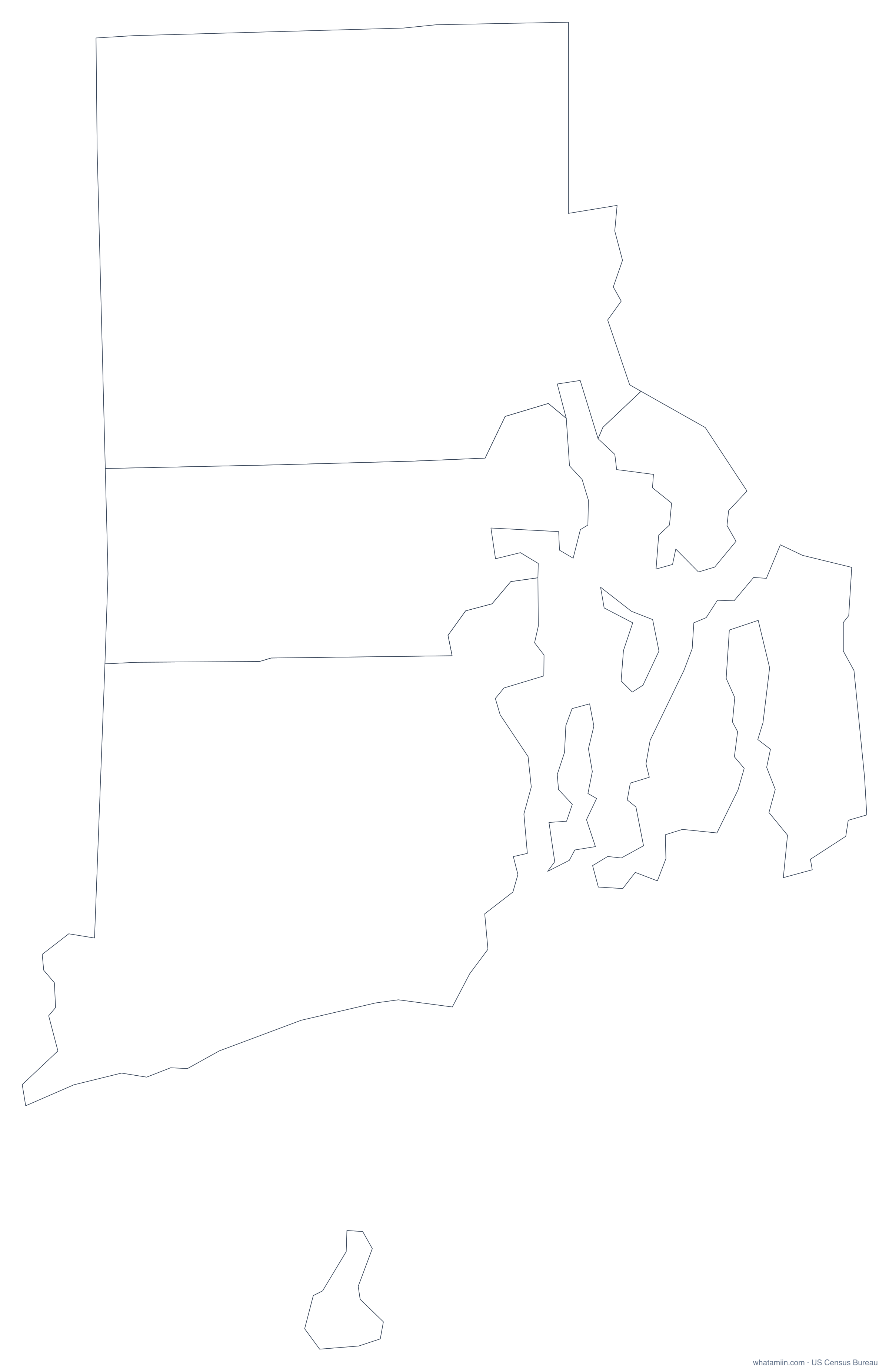
Yes. The blank version has borders but no names, which suits quizzes, coloring and your own labels. It comes in PNG, SVG and PDF.
Can I use this map in a report or website?
Yes, free for any use, including commercial. Please credit "whatamiin.com, US Census Bureau data".
How do I find which county an address is in?
Type the address in the box on this page. It returns the county, city, ZIP code and more, using Census boundaries. For a list of addresses, use the batch address-to-county tool.
Data: US Census Bureau cartographic boundary files 2024; population estimates (Vintage 2024). Sources