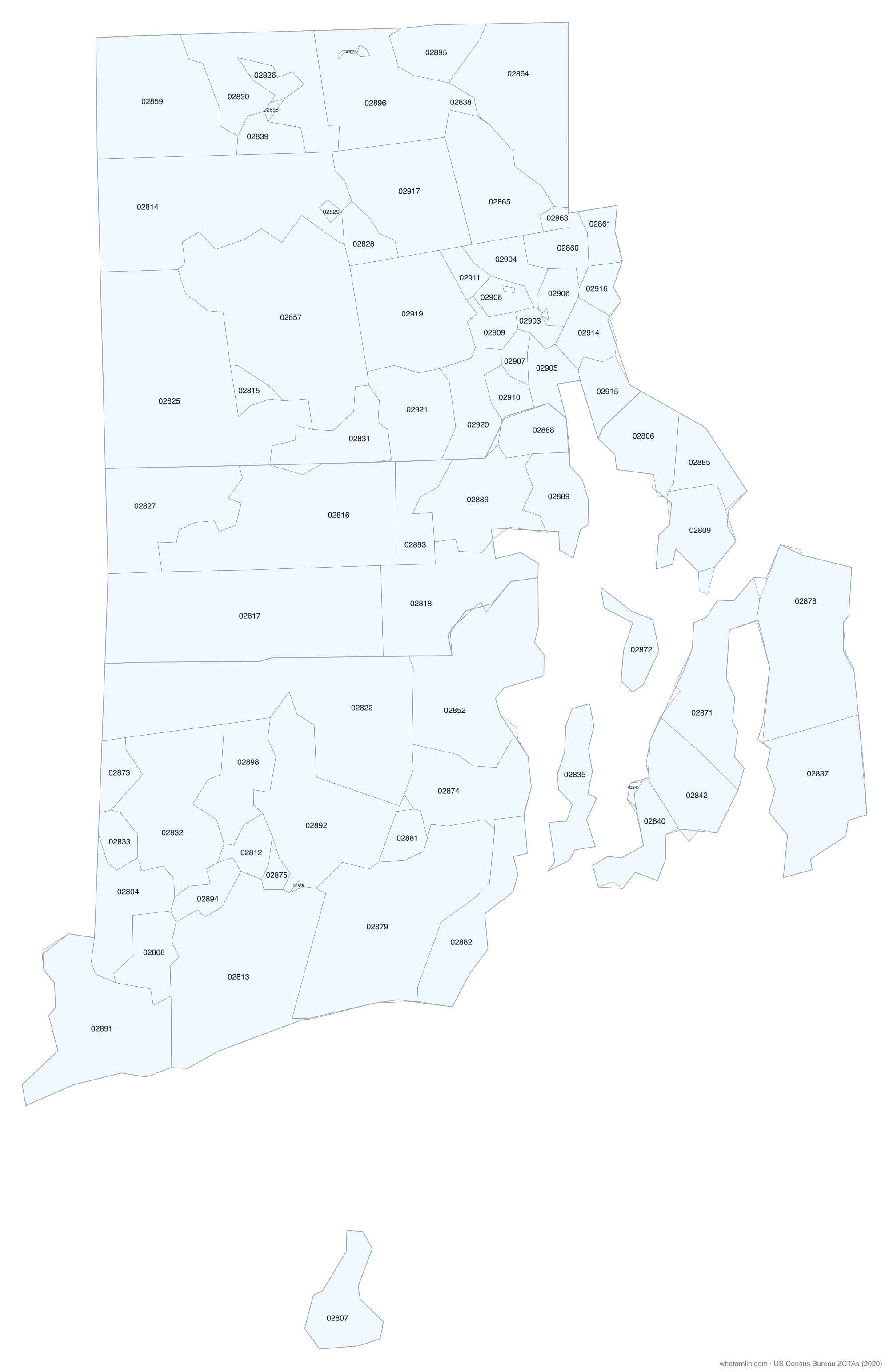
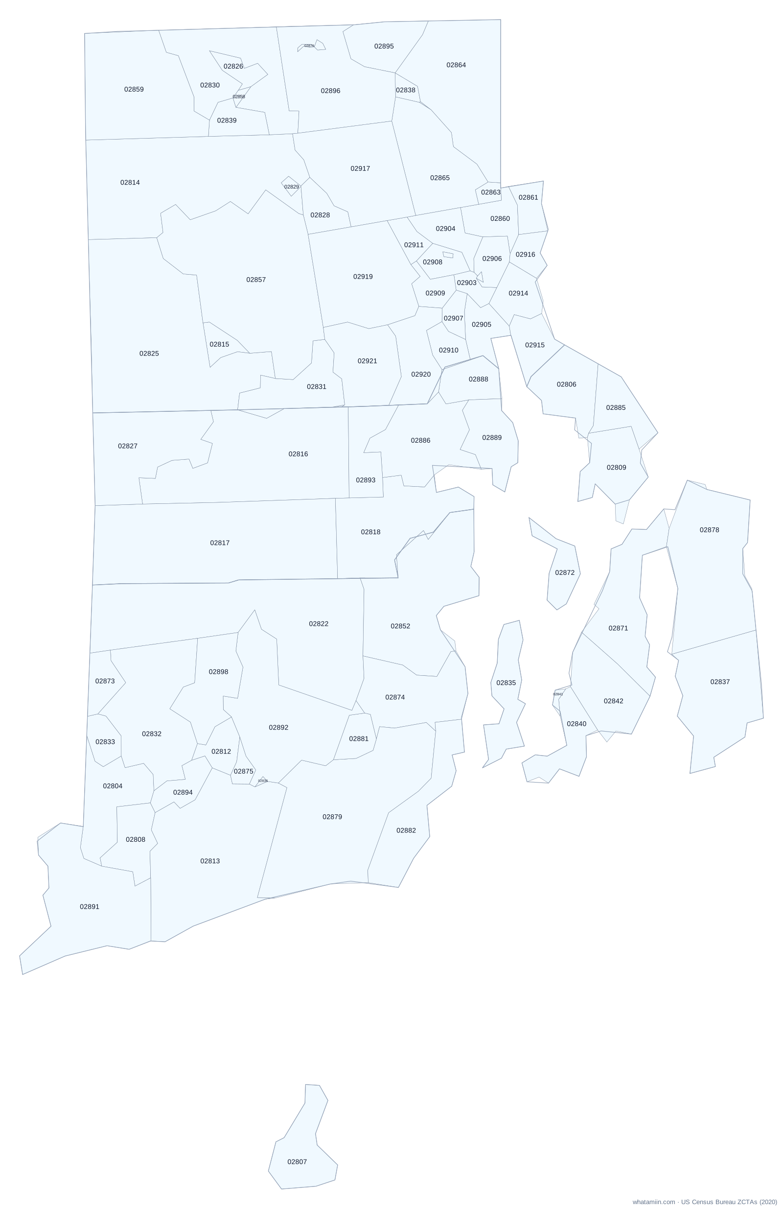
About Rhode Island ZIP code areas
Rhode Island has 81 ZIP code tabulation areas (ZCTAs), the Census Bureau's area version of ZIP codes. Providence County has the most, with 42. 3 of them cross a county line, which is why a ZIP code alone cannot always tell you the county. The largest by land is 02825 at 55.0 square miles.
ZIP codes are mail routes, so the Postal Service has no official boundary map. ZCTAs are built from the ZIP code most common in each census block in 2020. PO-box-only ZIPs and single-building ZIPs have no area and are not on this map. For the exact ZIP area at your location, use what ZIP code am I in.
All Rhode Island ZIP codes
| ZIP | Main city or place | County | Land (sq mi) |
|---|---|---|---|
| 02802 | Unincorporated | Providence | 0.2 |
| 02804 | Ashaway (CDP) | Washington | 11.8 |
| 02806 | Unincorporated | Bristol | 8.2 |
| 02807 | Unincorporated | Washington | 9.1 |
| 02808 | Bradford (CDP) | Washington | 7.6 |
| 02809 | Unincorporated | Bristol | 9.8 |
| 02812 | Carolina (CDP) | Washington | 4.0 |
| 02813 | Charlestown (CDP) | Washington | 36.7 |
| 02814 | Chepachet (CDP) | Providence | 43.4 |
| 02815 | Clayville (CDP) | Providence | 2.7 |
| 02816 | Unincorporated | Kent, Providence | 36.9 |
| 02817 | Unincorporated | Kent | 50.3 |
| 02818 | Warwick | Kent | 21.2 |
| 02822 | Unincorporated | Washington | 54.4 |
| 02823 | Cranston | Providence | 0.2 |
| 02824 | Unincorporated | Providence | 0.2 |
| 02825 | Foster Center (CDP) | Providence | 55.0 |
| 02826 | Unincorporated | Providence | 2.4 |
| 02827 | Greene (CDP) | Kent | 21.4 |
| 02828 | Greenville (CDP) | Providence | 4.3 |
| 02829 | Harmony (CDP) | Providence | 0.6 |
| 02830 | Harrisville (CDP) | Providence | 20.4 |
| 02831 | Cranston | Providence, Kent | 10.8 |
| 02832 | Hope Valley (CDP) | Washington | 24.8 |
| 02833 | Hopkinton (CDP) | Washington | 3.5 |
| 02835 | Unincorporated | Newport | 9.4 |
| 02836 | Unincorporated | Washington | 0.3 |
| 02837 | Unincorporated | Newport | 20.5 |
| 02838 | Unincorporated | Providence | 1.4 |
| 02839 | Unincorporated | Providence | 4.3 |
| 02840 | Newport | Newport | 7.3 |
| 02841 | Newport | Newport | 0.3 |
| 02842 | Newport East (CDP) | Newport | 12.5 |
| 02852 | Unincorporated | Washington | 30.8 |
| 02857 | Harmony (CDP) | Providence | 43.2 |
| 02858 | Unincorporated | Providence | 0.6 |
| 02859 | Pascoag (CDP) | Providence | 27.6 |
| 02860 | Pawtucket | Providence | 5.3 |
| 02861 | Pawtucket | Providence, Bristol | 3.6 |
| 02863 | Central Falls | Providence | 1.2 |
| 02864 | Valley Falls (CDP) | Providence | 26.5 |
| 02865 | Unincorporated | Providence | 16.5 |
| 02871 | Melville (CDP) | Newport | 17.1 |
| 02872 | Unincorporated | Newport | 5.9 |
| 02873 | Unincorporated | Washington | 3.8 |
| 02874 | Unincorporated | Washington | 15.6 |
| 02875 | Unincorporated | Washington | 1.8 |
| 02876 | Unincorporated | Providence | 0.2 |
| 02878 | Tiverton (CDP) | Newport | 29.1 |
| 02879 | Wakefield-Peace Dale (CDP) | Washington | 39.5 |
| 02881 | Kingston (CDP) | Washington | 3.4 |
| 02882 | Narragansett Pier (CDP) | Washington | 12.8 |
| 02885 | Unincorporated | Bristol | 6.2 |
| 02886 | Warwick | Kent | 15.8 |
| 02888 | Warwick | Kent | 5.9 |
| 02889 | Warwick | Kent | 8.5 |
| 02891 | Westerly (CDP) | Washington | 26.3 |
| 02892 | Unincorporated | Washington | 27.2 |
| 02893 | Unincorporated | Kent | 7.8 |
| 02894 | Unincorporated | Washington | 4.2 |
| 02895 | Woonsocket | Providence | 7.8 |
| 02896 | Unincorporated | Providence | 23.0 |
| 02898 | Wyoming (CDP) | Washington | 11.9 |
| 02903 | Providence | Providence | 1.7 |
| 02904 | Providence | Providence | 5.2 |
| 02905 | Providence | Providence | 3.7 |
| 02906 | Providence | Providence | 3.1 |
| 02907 | Providence | Providence | 2.2 |
| 02908 | Providence | Providence | 3.4 |
| 02909 | Providence | Providence | 3.1 |
| 02910 | Cranston | Providence | 3.4 |
| 02911 | Providence | Providence | 2.5 |
| 02912 | Providence | Providence | 0.2 |
| 02914 | East Providence | Providence | 4.9 |
| 02915 | East Providence | Providence | 5.5 |
| 02916 | East Providence | Providence | 2.7 |
| 02917 | Greenville (CDP) | Providence | 21.4 |
| 02918 | Providence | Providence | 0.2 |
| 02919 | Providence | Providence | 23.5 |
| 02920 | Cranston | Providence | 8.9 |
| 02921 | Cranston | Providence | 13.0 |
Download as CSV. County order shows where most of the ZIP's land lies.
See also: Rhode Island county map · Rhode Island counties · ZIP codes in a radius · study: ZIP codes that cross county lines