The southern edge of the tropics
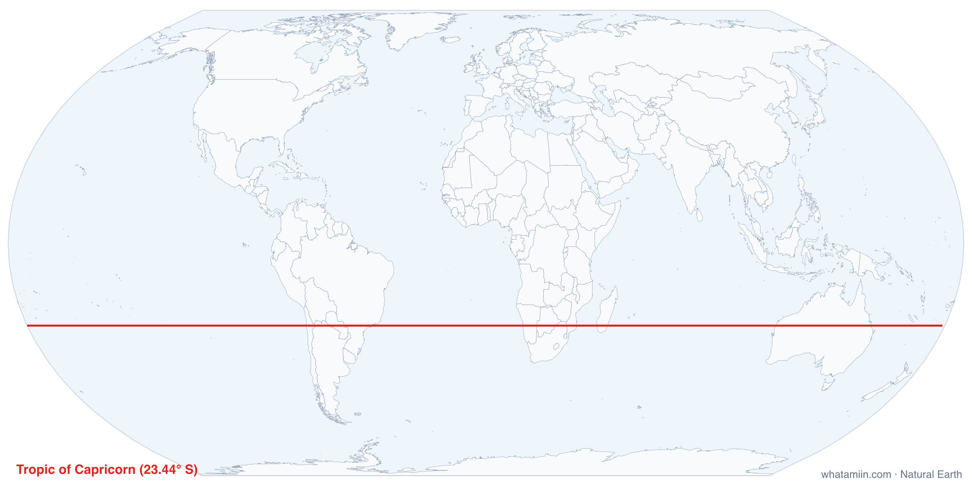
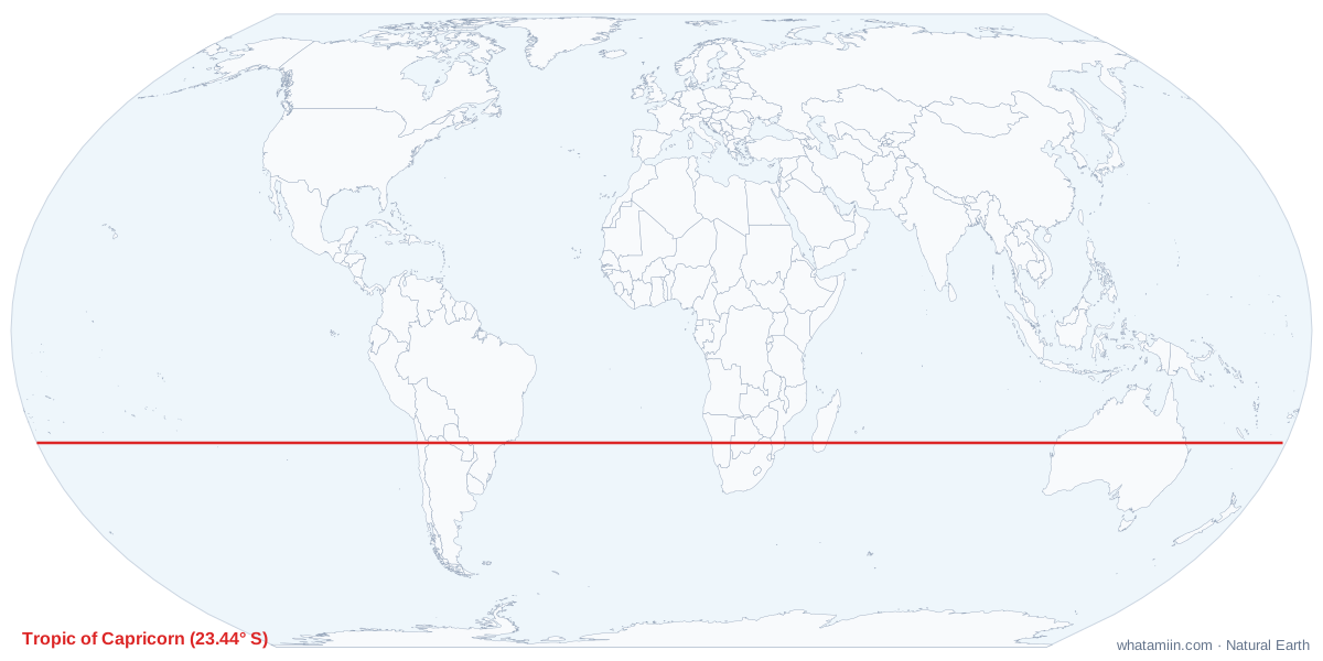
The Tropic of Capricorn is the parallel at about 23.4° south of the equator, the mirror image of the Tropic of Cancer. It is the farthest south the sun is ever directly overhead. On the December solstice, around December 21 or 22, the noon sun reaches the zenith all along the line. That date is the start of summer in the Southern Hemisphere and the start of winter in the north.
Why the line sits where it does
Earth's axis is tilted about 23.4° from the plane of its orbit. As Earth circles the sun, the latitude where the noon sun is overhead moves back and forth between 23.4° N and 23.4° S. The two tropics mark the limits of that swing. Since the tilt itself changes slowly over a cycle of about 41,000 years, so do the tropics. The tilt is shrinking at present, and the Tropic of Capricorn is moving north by about 15 meters each year.
Countries on the line
The table lists every country the tropic crosses, west to east, computed from the map's boundary data. It crosses much less land than its northern twin, since most of the Southern Hemisphere at this latitude is ocean.
- South America: it crosses the Atacama Desert in northern Chile, the Andes into Argentina, the Chaco of Paraguay, and southern Brazil, passing close to São Paulo before reaching the Atlantic.
- Africa: it runs through the Namib and Kalahari deserts in Namibia and Botswana, the far north of South Africa, and southern Mozambique, then across southern Madagascar.
- Australia: it crosses the whole continent, from the Indian Ocean coast of Western Australia, through the desert just north of Alice Springs, to the Queensland coast, passing Rockhampton, where a marker stands on the line.
Like the Tropic of Cancer, the line passes through a band of dry country. The Atacama, Namib, Kalahari and central Australian deserts all lie near this latitude.
The United States and the tropic
No part of the US reaches this far south. The 50 states are all in the Northern Hemisphere, and the only inhabited US territory south of the equator, American Samoa, sits near 14° S, well inside the tropics. The closest a US state comes to the Tropic of Capricorn is Hawaii, still more than 40 degrees of latitude away.
How far are you from it?
Because the tropic is a parallel, the distance to it depends only on your latitude. Each degree is about 69 miles (111 km). From anywhere in the lower 48 the line is far away: from Miami, near 25.8° N, it is about 3,400 miles due south; from Seattle, about 4,900 miles. The tool computes the exact figure from your position, and what are my coordinates shows your latitude. For the far north, see the Arctic Circle map.