Collin County at a glance
| County seat | McKinney |
|---|---|
| Population (2024) | 1,254,658 · 6th of 254 in Texas |
| Change since 2020 | +17.7% |
| Land area | 841 sq mi |
| Density | 1,491 people per sq mi |
| Time zone | Central |
| Elevation | 453 ft to 810 ft (median 630 ft) |
| FIPS code | 48085 |
Cities and towns in Collin County
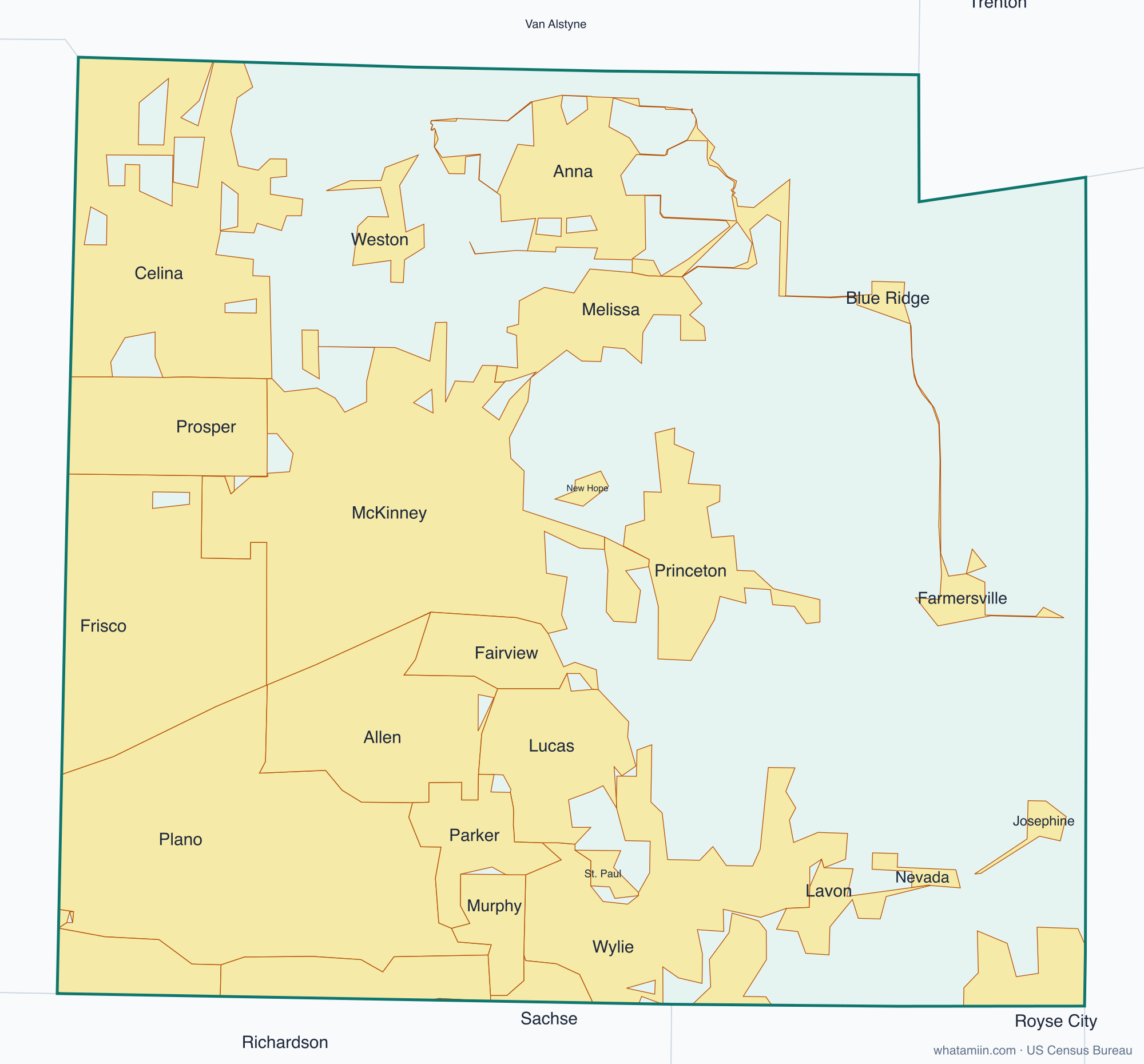
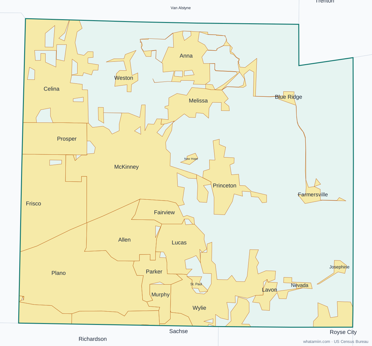
32 incorporated cities, towns and villages have land in Collin County, led by Plano with 287,591 residents inside the county. The rest of the county's people live in unincorporated areas, which the county governs directly.
| City or town | Population in county (2024) |
|---|---|
| Plano | 287,591 |
| McKinney | 227,526 |
| Frisco | 139,707 |
| Allen | 113,746 |
| Wylie | 59,712 |
| Dallas | 54,194 |
| Celina | 47,363 |
| Richardson | 42,646 |
| Princeton | 37,019 |
| Prosper | 35,355 |
| Anna | 31,986 |
| Melissa | 26,194 |
| Murphy | 21,109 |
| Sachse | 12,263 |
| Fairview | 10,922 |
| Lucas | 8,840 |
| Josephine | 8,661 |
| Lavon | 8,491 |
| Parker | 6,332 |
| Royse City | 4,390 |
| Farmersville | 4,352 |
| Lowry Crossing | 2,028 |
| Nevada | 1,511 |
| Blue Ridge | 1,248 |
| St. Paul | 1,002 |
| Weston | 930 |
| Carrollton | 693 |
| New Hope | 684 |
| Garland | 165 |
| Hebron | 0 |
| Trenton | 0 |
| Van Alstyne | 0 |
Townships and county subdivisions
Anna CCD, Blue Ridge CCD, Celina CCD, Farmersville CCD, McKinney CCD, Nevada CCD, Plano CCD, Princeton CCD
ZIP codes in Collin County
40 ZIP code areas include land in Collin County. 11 of them lie mostly in a neighboring county.
Mostly in Collin County: 75002, 75009, 75013, 75023, 75024, 75025, 75034, 75035, 75069, 75070, 75071, 75072, 75074, 75075, 75078, 75082, 75093, 75094, 75098, 75164, 75166, 75173, 75252, 75287, 75407, 75409, 75424, 75442, 75454
Partly in Collin County: 75007, 75033, 75044, 75048, 75080, 75087, 75189, 75248, 75452, 75491, 75495
Neighboring counties
Dallas County · Denton County · Fannin County · Grayson County · Hunt County · Rockwall County
See every county on the Texas county map or in the list of Texas counties, or find ZIP areas on the Texas ZIP code map. To check which county an exact address is in, use what county am I in.
More Texas county profiles: Bexar County · Dallas County · Denton County · El Paso County · Fort Bend County · Harris County · Hidalgo County · Montgomery County · Tarrant County · Travis County · Williamson County