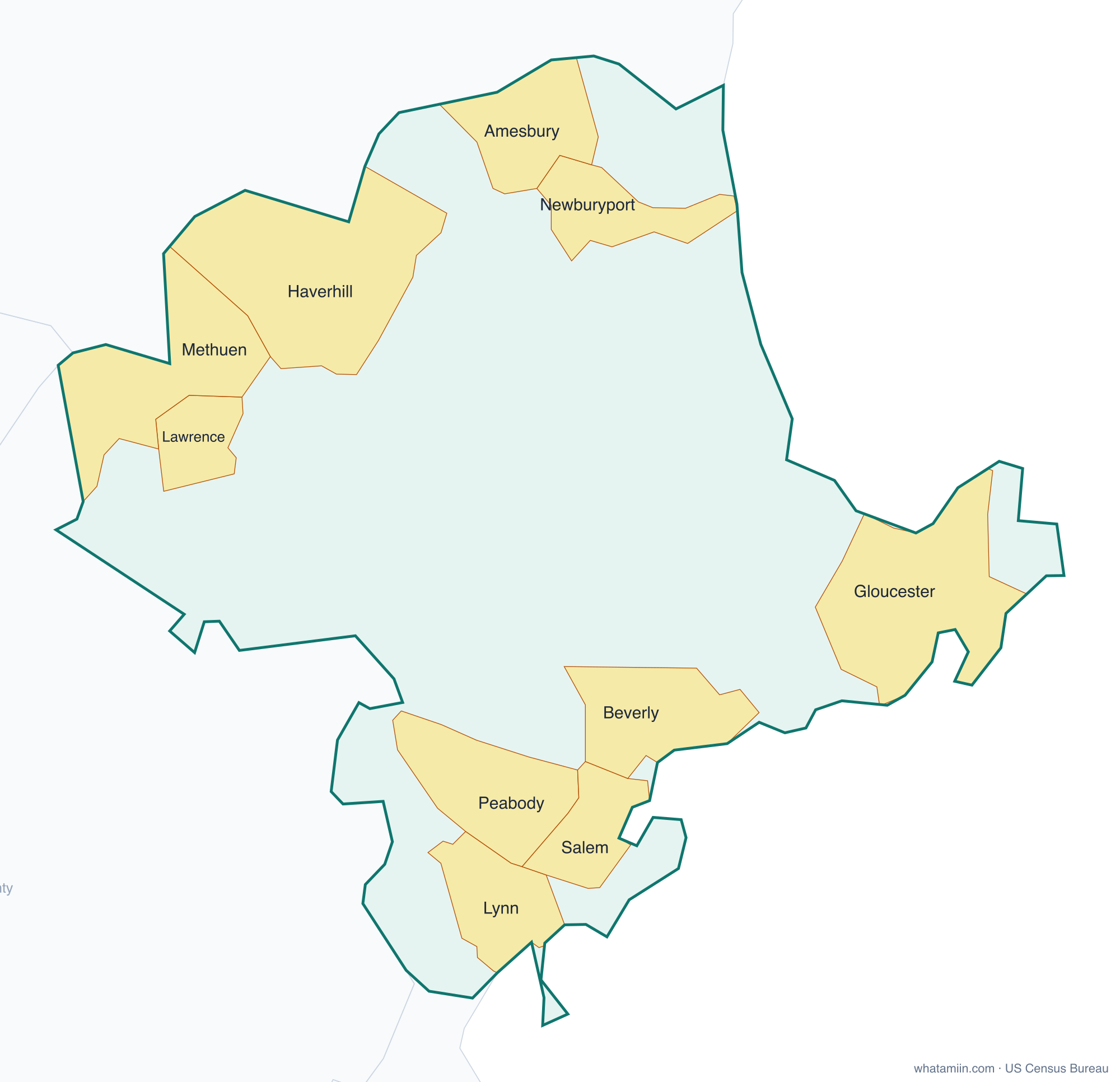
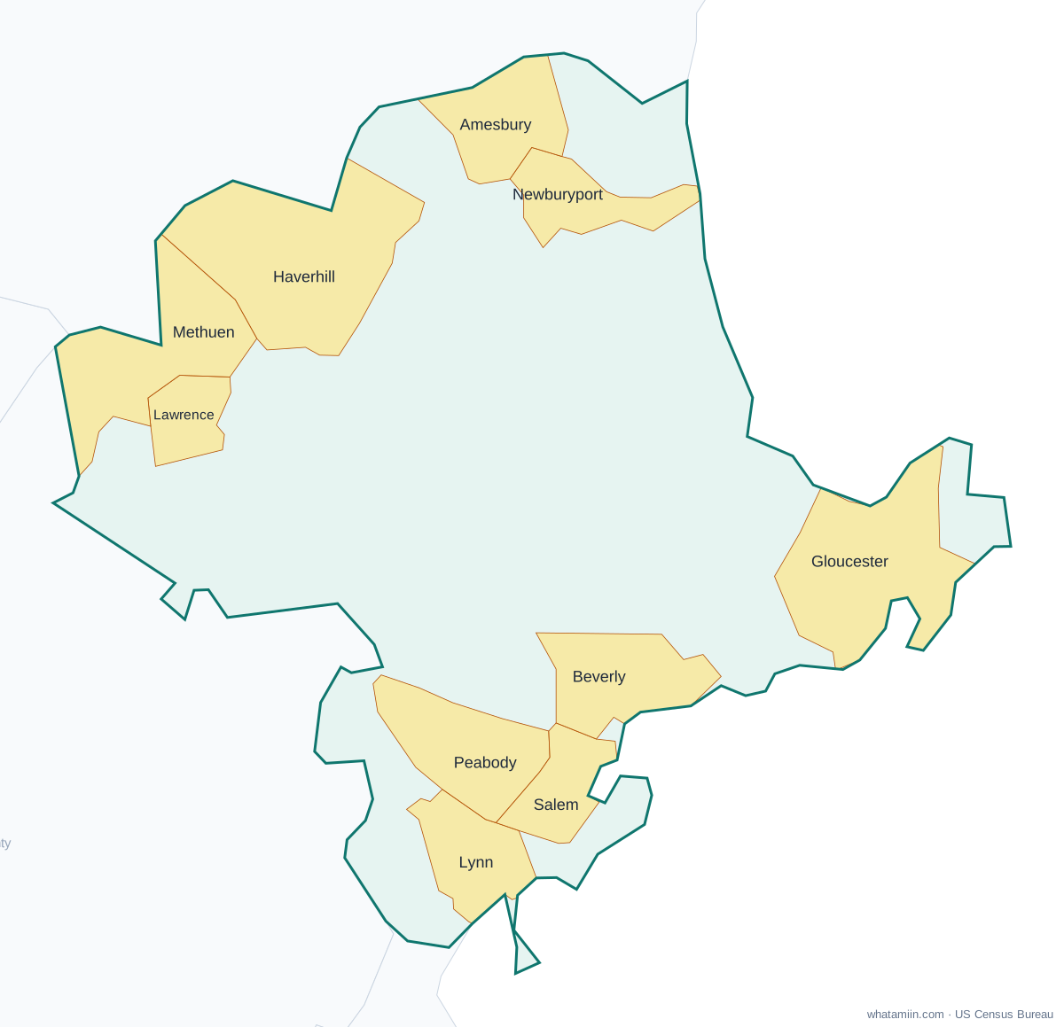
Essex County at a glance
| County seat | Salem |
|---|---|
| Population (2024) | 823,938 · 3rd of 14 in Massachusetts |
| Change since 2020 | +1.7% |
| Land area | 492 sq mi |
| Density | 1,673 people per sq mi |
| Time zone | Eastern |
| Elevation | -30 ft to 282 ft (median 92 ft) |
| FIPS code | 25009 |
Cities and towns in Essex County
10 incorporated cities, towns and villages have land in Essex County, led by Lynn with 103,489 residents inside the county. The rest of the county's people live in unincorporated areas, which the county governs directly.
| City or town | Population in county (2024) |
|---|---|
| Lynn | 103,489 |
| Lawrence | 89,332 |
| Haverhill | 68,291 |
| Peabody | 55,418 |
| Methuen | 54,272 |
| Salem | 45,677 |
| Beverly | 43,223 |
| Gloucester | 30,491 |
| Newburyport | 19,163 |
| Amesbury | 17,617 |
Townships and county subdivisions
Amesbury city, Andover town, Beverly city, Boxford town, Danvers town, Essex town, Georgetown town, Gloucester city, Groveland town, Hamilton town, Haverhill city, Ipswich town, Lawrence city, Lynn city, Lynnfield town, Manchester-by-the-Sea town, Marblehead town, Merrimac town, Methuen city, Middleton town, Nahant town, Newbury town, Newburyport city, North Andover town, Peabody city, Rockport town, Rowley town, Salem city, Salisbury town, Saugus town, Swampscott town, Topsfield town, Wenham town, West Newbury town
ZIP codes in Essex County
46 ZIP code areas include land in Essex County. 2 of them lie mostly in a neighboring county.
Mostly in Essex County: 01810, 01830, 01832, 01833, 01834, 01835, 01840, 01841, 01843, 01844, 01845, 01860, 01901, 01902, 01904, 01905, 01906, 01907, 01908, 01913, 01915, 01921, 01922, 01923, 01929, 01930, 01937, 01938, 01940, 01944, 01945, 01949, 01950, 01951, 01952, 01960, 01965, 01966, 01969, 01970, 01982, 01983, 01984, 01985
Partly in Essex County: 01826, 01876
Neighboring counties
Middlesex County · Suffolk County · Hillsborough County, NH · Rockingham County, NH
See every county on the Massachusetts county map or in the list of Massachusetts counties, or find ZIP areas on the Massachusetts ZIP code map. To check which county an exact address is in, use what county am I in.
More Massachusetts county profiles: Middlesex County · Norfolk County · Suffolk County · Worcester County