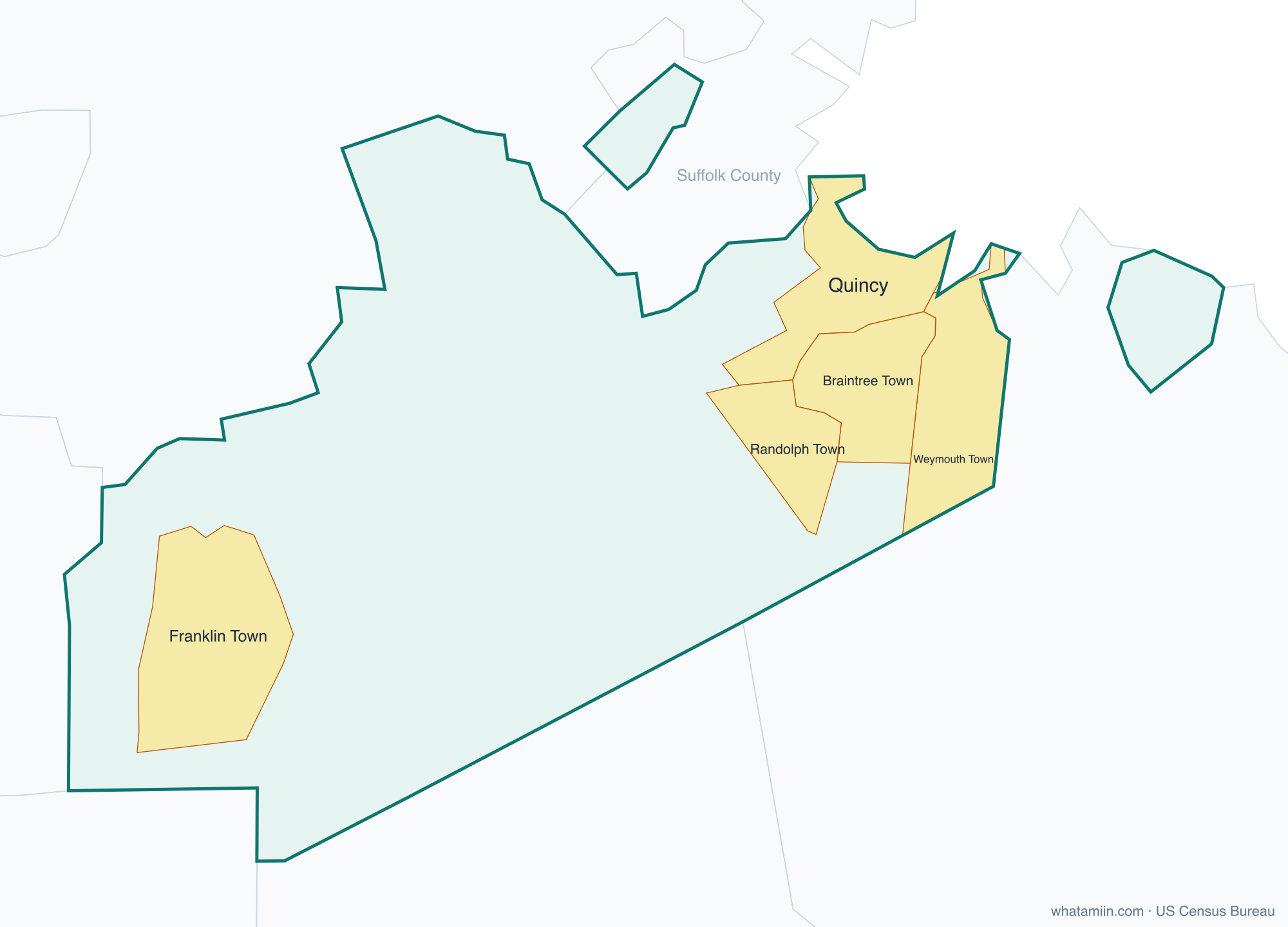
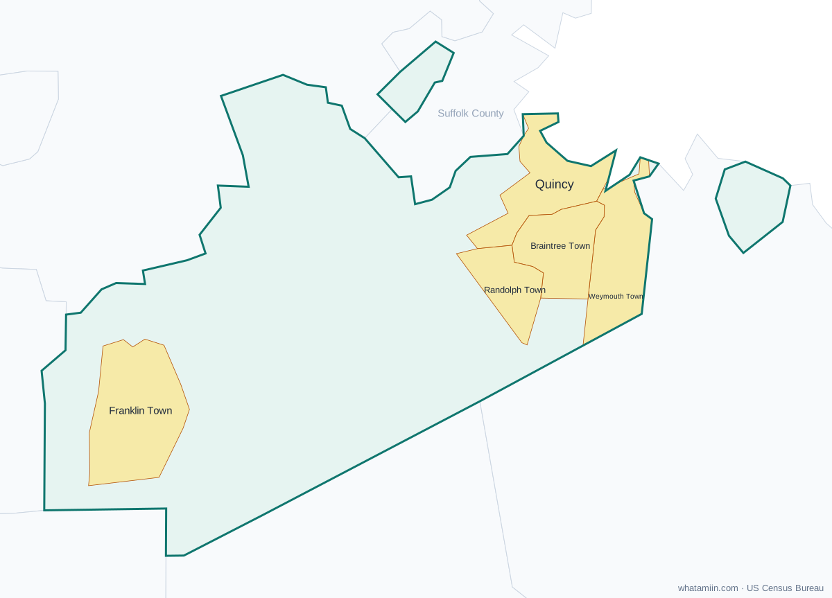
Norfolk County at a glance
| County seat | Dedham |
|---|---|
| Population (2024) | 740,754 · 5th of 14 in Massachusetts |
| Change since 2020 | +2.0% |
| Land area | 396 sq mi |
| Density | 1,870 people per sq mi |
| Time zone | Eastern |
| Elevation | -13 ft to 472 ft (median 210 ft) |
| FIPS code | 25021 |
Cities and towns in Norfolk County
5 incorporated cities, towns and villages have land in Norfolk County, led by Quincy with 103,434 residents inside the county. The rest of the county's people live in unincorporated areas, which the county governs directly.
| City or town | Population in county (2024) |
|---|---|
| Quincy | 103,434 |
| Weymouth Town | 60,159 |
| Braintree Town | 39,134 |
| Randolph Town | 35,114 |
| Franklin Town | 33,742 |
Townships and county subdivisions
Avon town, Bellingham town, Braintree Town city, Brookline town, Canton town, Cohasset town, Dedham town, Dover town, Foxborough town, Franklin Town city, Holbrook town, Medfield town, Medway town, Millis town, Milton town, Needham town, Norfolk town, Norwood town, Plainville town, Quincy city, Randolph Town city, Sharon town, Stoughton town, Walpole town, Wellesley town, Westwood town, Weymouth Town city, Wrentham town
ZIP codes in Norfolk County
41 ZIP code areas include land in Norfolk County. 1 of them lie mostly in a neighboring county.
Mostly in Norfolk County: 02019, 02021, 02025, 02026, 02030, 02032, 02035, 02038, 02052, 02053, 02054, 02056, 02062, 02067, 02071, 02072, 02081, 02090, 02093, 02169, 02170, 02171, 02184, 02186, 02188, 02189, 02190, 02191, 02322, 02343, 02368, 02445, 02446, 02457, 02467, 02481, 02482, 02492, 02494, 02762
Partly in Norfolk County: 02215
Neighboring counties
Bristol County · Middlesex County · Plymouth County · Suffolk County · Worcester County · Providence County, RI
See every county on the Massachusetts county map or in the list of Massachusetts counties, or find ZIP areas on the Massachusetts ZIP code map. To check which county an exact address is in, use what county am I in.
More Massachusetts county profiles: Essex County · Middlesex County · Suffolk County · Worcester County