Worcester County at a glance
| County seat | Worcester |
|---|---|
| Population (2024) | 881,248 · 2nd of 14 in Massachusetts |
| Change since 2020 | +2.2% |
| Land area | 1,511 sq mi |
| Density | 583 people per sq mi |
| Time zone | Eastern |
| Elevation | 223 ft to 1,467 ft (median 712 ft) |
| FIPS code | 25027 |
Cities and towns in Worcester County
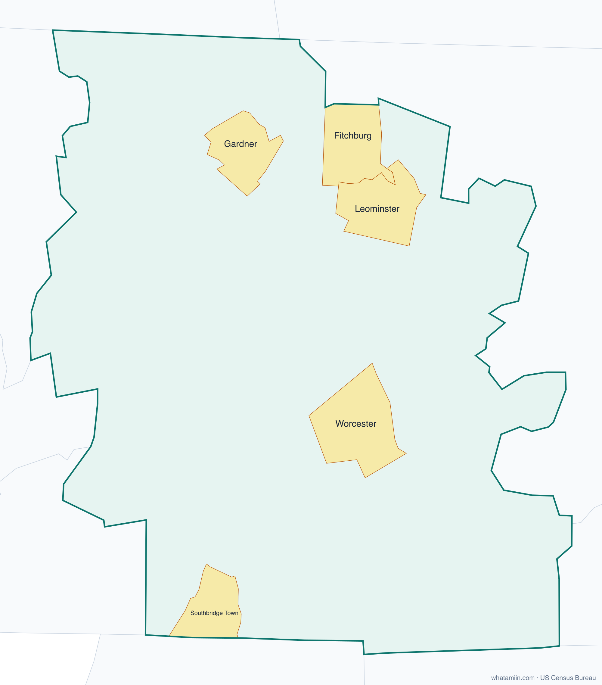
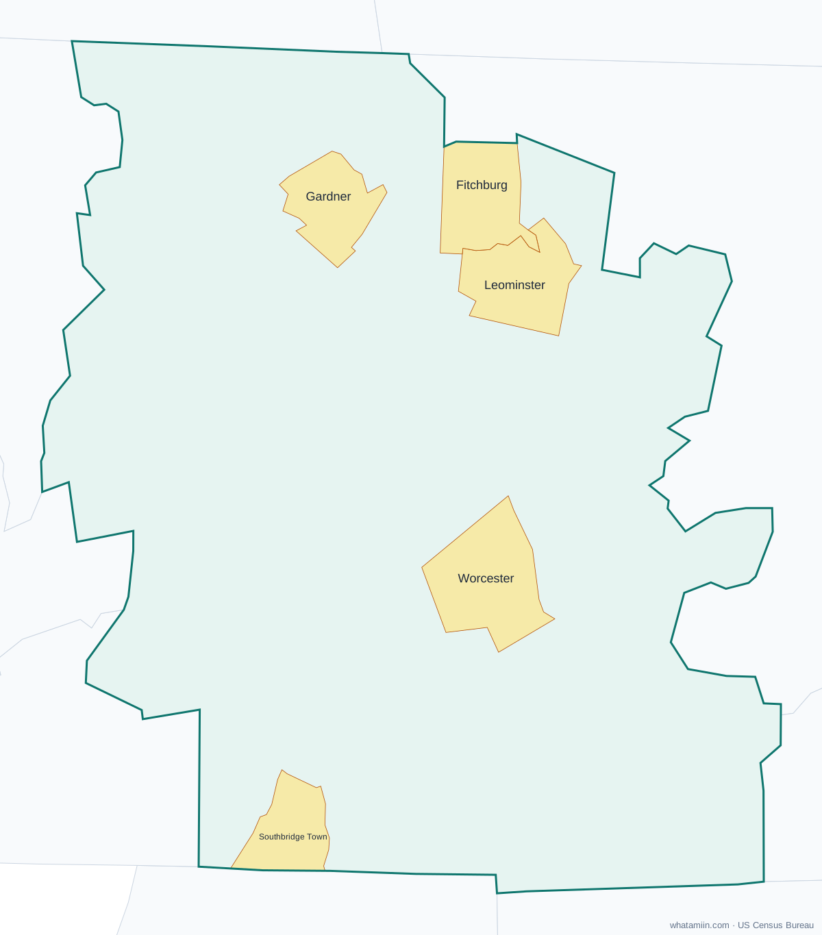
5 incorporated cities, towns and villages have land in Worcester County, led by Worcester with 211,286 residents inside the county. The rest of the county's people live in unincorporated areas, which the county governs directly.
| City or town | Population in county (2024) |
|---|---|
| Worcester | 211,286 |
| Leominster | 44,209 |
| Fitchburg | 42,145 |
| Gardner | 21,381 |
| Southbridge Town | 18,106 |
Townships and county subdivisions
Ashburnham town, Athol town, Auburn town, Barre town, Berlin town, Blackstone town, Bolton town, Boylston town, Brookfield town, Charlton town, Clinton town, Douglas town, Dudley town, East Brookfield town, Fitchburg city, Gardner city, Grafton town, Hardwick town, Harvard town, Holden town, Hopedale town, Hubbardston town, Lancaster town, Leicester town, Leominster city, Lunenburg town, Mendon town, Milford town, Millbury town, Millville town, New Braintree town, North Brookfield town, Northborough town, Northbridge town, Oakham town, Oxford town, Paxton town, Petersham town, Phillipston town, Princeton town, Royalston town, Rutland town, Shrewsbury town, Southborough town, Southbridge Town city, Spencer town, Sterling town, Sturbridge town, Sutton town, Templeton town, Upton town, Uxbridge town, Warren town, Webster town, West Boylston town, West Brookfield town, Westborough town, Westminster town, Winchendon town, Worcester city
ZIP codes in Worcester County
87 ZIP code areas include land in Worcester County. 2 of them lie mostly in a neighboring county.
Mostly in Worcester County: 01005, 01031, 01037, 01068, 01074, 01083, 01092, 01094, 01331, 01366, 01368, 01420, 01430, 01434, 01436, 01438, 01440, 01451, 01452, 01453, 01462, 01468, 01473, 01475, 01501, 01503, 01504, 01505, 01506, 01507, 01510, 01515, 01516, 01518, 01519, 01520, 01522, 01523, 01524, 01525, 01527, 01529, 01531, 01532, 01534, 01535, 01536, 01537, 01540, 01541, 01542, 01543, 01545, 01550, 01560, 01561, 01562, 01564, 01566, 01568, 01569, 01570, 01571, 01581, 01583, 01585, 01588, 01590, 01602, 01603, 01604, 01605, 01606, 01607, 01608, 01609, 01610, 01611, 01612, 01740, 01745, 01747, 01756, 01757, 01772
Partly in Worcester County: 01010, 01082
Neighboring counties
Northeastern Connecticut Planning Region, CT · Franklin County · Hampden County · Hampshire County · Middlesex County · Norfolk County · Cheshire County, NH · Hillsborough County, NH · Providence County, RI
See every county on the Massachusetts county map or in the list of Massachusetts counties, or find ZIP areas on the Massachusetts ZIP code map. To check which county an exact address is in, use what county am I in.
More Massachusetts county profiles: Essex County · Middlesex County · Norfolk County · Suffolk County