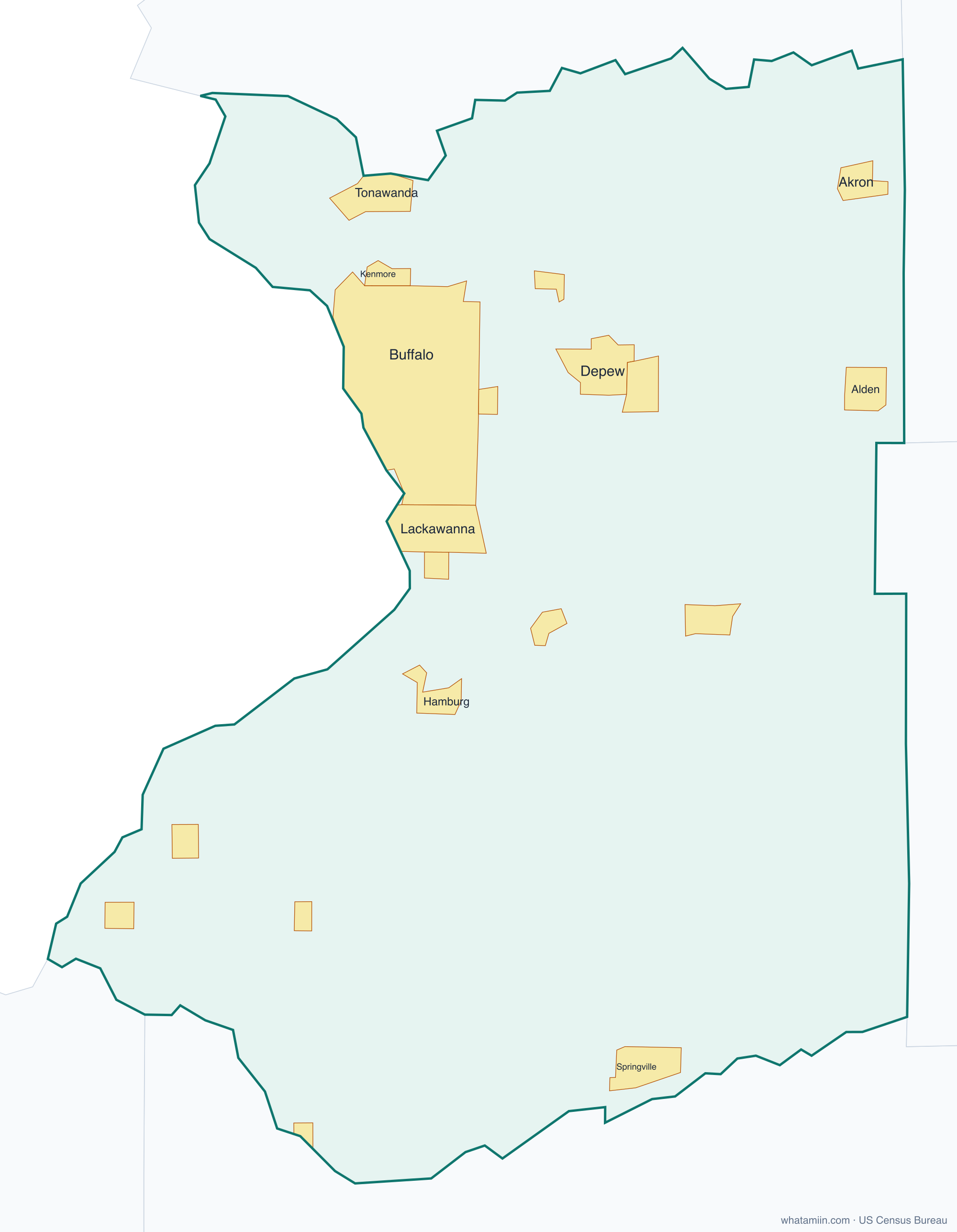
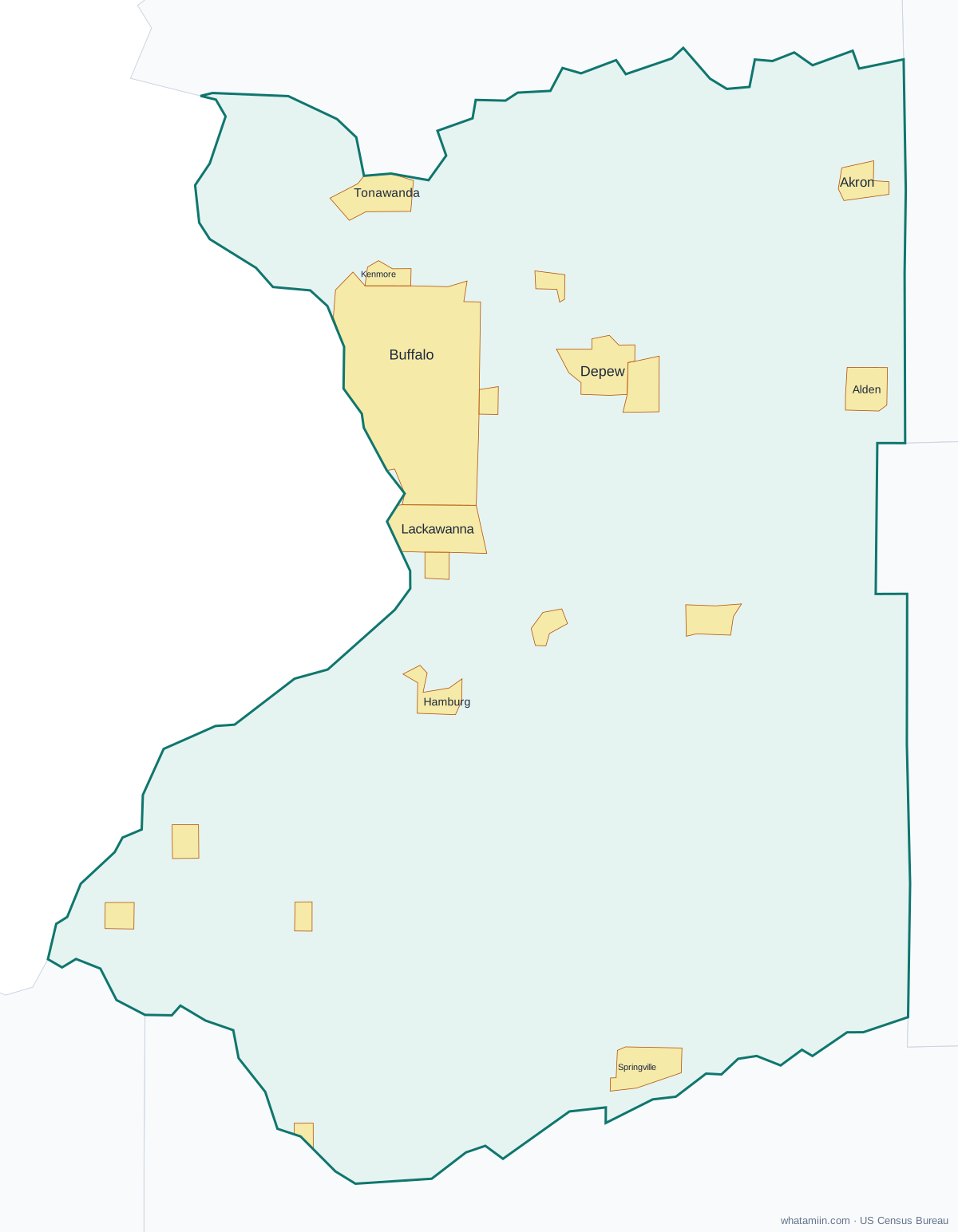
Erie County at a glance
| County seat | Buffalo |
|---|---|
| Population (2024) | 950,602 · 8th of 62 in New York |
| Change since 2020 | -0.4% |
| Land area | 1,043 sq mi |
| Density | 912 people per sq mi |
| Time zone | Eastern |
| Elevation | 568 ft to 1,850 ft (median 810 ft) |
| FIPS code | 36029 |
Cities and towns in Erie County
19 incorporated cities, towns and villages have land in Erie County, led by Buffalo with 276,617 residents inside the county. The rest of the county's people live in unincorporated areas, which the county governs directly.
| City or town | Population in county (2024) |
|---|---|
| Buffalo | 276,617 |
| Lackawanna | 19,629 |
| Tonawanda | 14,984 |
| Kenmore | 14,936 |
| Depew | 14,910 |
| Lancaster | 10,094 |
| Hamburg | 9,835 |
| East Aurora | 5,986 |
| Williamsville | 5,489 |
| Springville | 4,194 |
| Sloan | 3,730 |
| Orchard Park | 3,046 |
| Akron | 2,886 |
| Alden | 2,764 |
| Blasdell | 2,557 |
| Angola | 2,026 |
| North Collins | 1,269 |
| Gowanda | 748 |
| Farnham | 363 |
Townships and county subdivisions
Alden town, Amherst town, Aurora town, Boston town, Brant town, Buffalo city, Cattaraugus Reservation, Cheektowaga town, Clarence town, Colden town, Collins town, Concord town, Eden town, Elma town, Evans town, Grand Island town, Hamburg town, Holland town, Lackawanna city, Lancaster town, Marilla town, Newstead town, North Collins town, Orchard Park town, Sardinia town, Tonawanda Reservation, Tonawanda city, Tonawanda town, Wales town, West Seneca town
ZIP codes in Erie County
72 ZIP code areas include land in Erie County. 4 of them lie mostly in a neighboring county.
Mostly in Erie County: 14001, 14004, 14006, 14025, 14026, 14027, 14030, 14031, 14032, 14033, 14034, 14035, 14043, 14047, 14051, 14052, 14055, 14057, 14059, 14061, 14068, 14069, 14072, 14075, 14080, 14081, 14085, 14086, 14091, 14102, 14111, 14112, 14127, 14134, 14139, 14141, 14150, 14169, 14170, 14201, 14202, 14203, 14204, 14206, 14207, 14208, 14209, 14210, 14211, 14212, 14213, 14214, 14215, 14216, 14217, 14218, 14219, 14220, 14221, 14222, 14223, 14224, 14225, 14226, 14227, 14228, 14260, 14261
Partly in Erie County: 14013, 14037, 14070, 14145
Neighboring counties
Cattaraugus County · Chautauqua County · Genesee County · Niagara County · Wyoming County
See every county on the New York county map or in the list of New York counties, or find ZIP areas on the New York ZIP code map. To check which county an exact address is in, use what county am I in.
More New York county profiles: Bronx County · Kings County · Monroe County · Nassau County · New York County · Queens County · Suffolk County · Westchester County