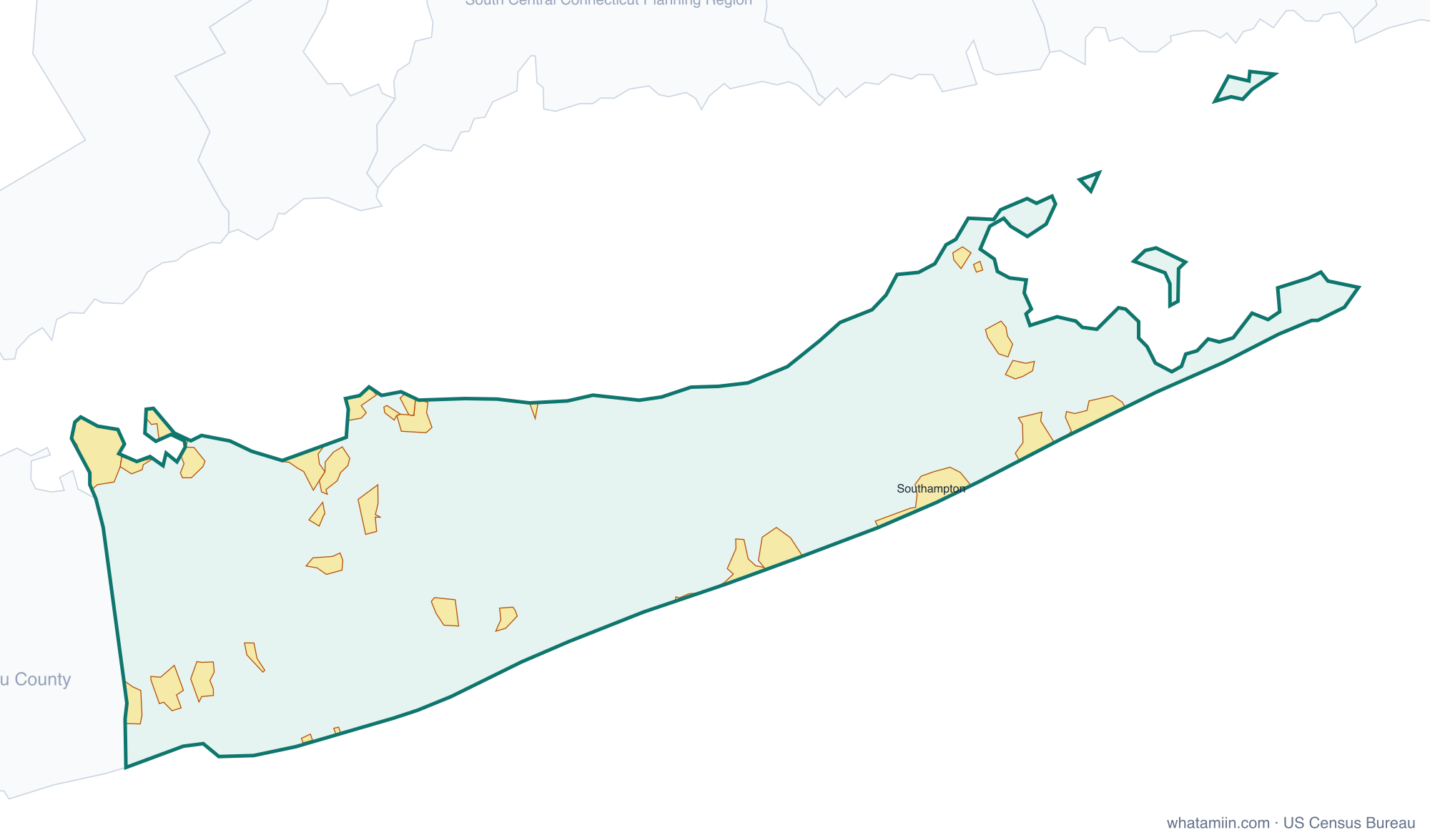
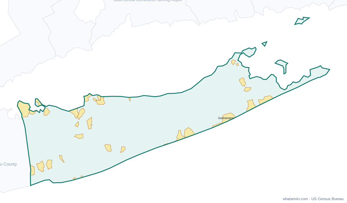
Suffolk County at a glance
| County seat | Riverhead |
|---|---|
| Population (2024) | 1,535,909 · 4th of 62 in New York |
| Change since 2020 | +0.7% |
| Land area | 911 sq mi |
| Density | 1,686 people per sq mi |
| Time zone | Eastern |
| Elevation | -30 ft to 285 ft (median 52 ft) |
| FIPS code | 36103 |
Cities and towns in Suffolk County
32 incorporated cities, towns and villages have land in Suffolk County, led by Lindenhurst with 27,160 residents inside the county. The rest of the county's people live in unincorporated areas, which the county governs directly.
| City or town | Population in county (2024) |
|---|---|
| Lindenhurst | 27,160 |
| Patchogue | 12,447 |
| Babylon | 12,193 |
| Lake Grove | 11,109 |
| Amityville | 9,718 |
| Port Jefferson | 8,189 |
| Northport | 7,317 |
| Southampton | 4,693 |
| Islandia | 3,651 |
| Lloyd Harbor | 3,565 |
| Brightwaters | 3,187 |
| Sag Harbor | 2,816 |
| Greenport | 2,591 |
| Westhampton Beach | 2,238 |
| Bellport | 2,211 |
| Village of the Branch | 1,763 |
| Quogue | 1,697 |
| Nissequogue | 1,625 |
| East Hampton | 1,556 |
| Head of the Harbor | 1,475 |
| Huntington Bay | 1,445 |
| North Haven | 1,197 |
| Poquott | 929 |
| Old Field | 925 |
| Belle Terre | 788 |
| Sagaponack | 744 |
| Asharoken | 608 |
| Shoreham | 524 |
| Ocean Beach | 175 |
| West Hampton Dunes | 119 |
| Saltaire | 109 |
| Dering Harbor | 37 |
Townships and county subdivisions
Babylon town, Brookhaven town, East Hampton town, Huntington town, Islip town, Poospatuck Reservation, Riverhead town, Shelter Island town, Shinnecock Reservation, Smithtown town, Southampton town, Southold town
ZIP codes in Suffolk County
109 ZIP code areas include land in Suffolk County. 1 of them lie mostly in a neighboring county.
Mostly in Suffolk County: 06390, 11701, 11702, 11703, 11704, 11705, 11706, 11713, 11715, 11716, 11717, 11718, 11719, 11720, 11721, 11722, 11724, 11725, 11726, 11727, 11729, 11730, 11731, 11733, 11735, 11738, 11739, 11740, 11741, 11742, 11743, 11746, 11747, 11749, 11751, 11752, 11754, 11755, 11757, 11763, 11764, 11766, 11767, 11768, 11769, 11770, 11772, 11776, 11777, 11778, 11779, 11780, 11782, 11784, 11786, 11787, 11788, 11789, 11790, 11792, 11794, 11795, 11796, 11798, 11901, 11930, 11931, 11932, 11933, 11934, 11935, 11937, 11939, 11940, 11941, 11942, 11944, 11946, 11947, 11948, 11949, 11950, 11951, 11952, 11953, 11954, 11955, 11956, 11957, 11958, 11959, 11960, 11961, 11962, 11963, 11964, 11965, 11967, 11968, 11970, 11971, 11972, 11973, 11975, 11976, 11977, 11978, 11980
Partly in Suffolk County: 11758
Neighboring counties
Greater Bridgeport Planning Region, CT · Lower Connecticut River Valley Planning Region, CT · South Central Connecticut Planning Region, CT · Southeastern Connecticut Planning Region, CT · Western Connecticut Planning Region, CT · Nassau County · Washington County, RI
See every county on the New York county map or in the list of New York counties, or find ZIP areas on the New York ZIP code map. To check which county an exact address is in, use what county am I in.
More New York county profiles: Bronx County · Erie County · Kings County · Monroe County · Nassau County · New York County · Queens County · Westchester County